Calling for nominees for the OpenStreetMap Awards

OSM Awards nomination for Nelson
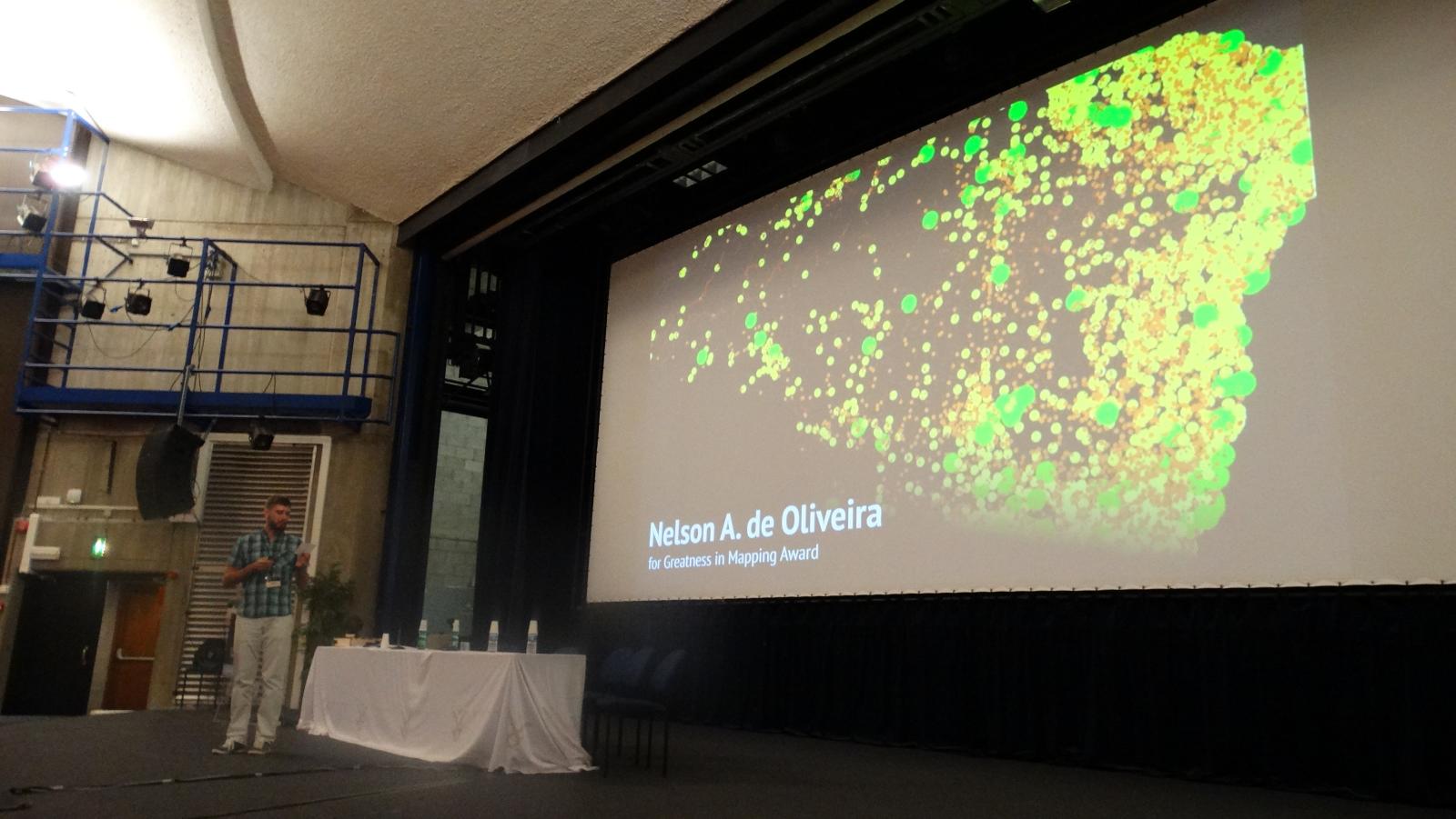
Announcing the second OpenStreetMap Awards, awarded this August at the State of the Map 2017 conference in Japan!

This is a community award: nominees and winners are chosen by the community. We are now opening the Call for Nominees, to learn more about the amazing contributors to OpenStreetMap. The Awards strive to be a worldwide event for all OpenStreetMap members, including developers, mappers, community leaders, blog writers and everyone else. We need your help to find the best of OpenStreetMap globally.

For the second awards, we added three more categories focussed on Asia, Africa, and Latin America, three continents under-represented in OpenStreetMap. We strive for increasing the diversity and expect to see more great nominees who the larger community has not been aware yet. This is your chance to make yourself or people you admire visible for the entire world. Add your nominees on the awards website!

We’re mostly looking for new innovations, so only projects/works that were announced after August 1st 2016 are eligible. The Ulf Möller Award is an exception to this. Everyone is eligible regardless of the time when they were active in the project. Winners of past awards and selection committee members (in their categories) cannot be nominated.

The call for nominees will close on 9th of July, and shortly after that we will start the second round, choosing the award recipients. Please nominate!

New and renewed corporate members

Last October we introduced the new OSMF Corporate Membership tiers. We’d like to thank the following organisations who have entered or renewed onto the new corporate membership tiers:


Toursprung         NextGIS


Your organization can become a Corporate Member for as little as €500 for ‘Supporter’ level, all the way up to €20,000 for ‘Platinum’ level. The above all opted for ‘Bronze’ level, except Toursprung and NextGIS who are ‘Supporters’. Coming soon we’ll bring you news of some new ‘Gold’ level members! Each level has different benefits but the biggest benefit of all is the knowledge that your organization is doing its part to support the growth and sustainability of the OpenStreetMap project. So thanks again to all our Corporate Members!

Registration is now open for State of the Map 2017

Tickets for State of the Map 2017 are now on sale! Come register for this international gathering of the OpenStreetMap community. Move fast in order to guarantee yourself the “Early Bird” discounted rate!

Get your ticket here

State of the Map offers value for anyone excited about open location data. Our main conference days will feature nearly 50 talks, open spaces for gatherings, and exhibition areas where individuals and organizations can meet. Hundreds of OpenStreetMap community members are expected to attend and we want you there!
The early bird catches the worm. Or “早起きの鳥は虫を捕らえる.” The world of OpenStreetMap belong to those who get (tickets) early.

Community survey for the State of the Map 2017 program

Picture of people voting at Wikimania 2014, with license CC-BY by Sebastiaan ter Burg

Thank you everyone for submitting session proposals for State of the Map 2017 conference. We have a great line up of sessions this year, it is time to share your views and help shape the State of the Map 2017 program.

Please participate in our OpenStreetMap community survey. It’s open to all, whether you are planning a trip to Japan for the conference, attending virtually on the live streams, or just enjoying our session videos afterwards. You can provide us with your OSM username to help us with spam detection (we won’t share your username with anyone). You’ll then get a huge page of talks to rate, sorted at random. Feel free to rate as many as you like. Just don’t leave the page open for too long, as your session might time out. When you’re tired of it, just scroll down, hit Next until you can Submit your answers.

You matter in the creation of OpenStreetMap and we want your voice to be heard in the creation of its conference. The survey is only open until 23rd April 2017, so go to the survey now!

The open source survey tool is kindly hosted by Made4it (http://www.made4it.be/), a Belgian data analysis and market research company.

OpenStreetMap Featured Images

As well as putting out an April fools day joke, there’s another thing we should remember to do when we’re three months into the year. Every three months we roll over to a new page of our archive of OpenStreetMap “featured images”. Here’s our images of January, February and March:

Mabel laser cutter.jpg Pic4Carto mapstats.png OSM-in-German-Tech-Museum.jpg Osmviz.jpg Ateljekartan.com green paris poster.jpg Ramani Huria STEM boot camp school students.jpg OSMLanduse.png OSM Mapathon in Albania 07.jpg Lauri Vanhala Helsinki map.jpg Taipei meet-up Discussing notes.jpg Osm-in-opendataday-2017.jpg Noahmapping-statsimage.jpg FOSSGIS 2017 group photo.jpg

(click to view bigger images and explanations)

An OpenStreetMap Featured Image (otherwise known as “Image Of The Week”) is chosen each week. Recently we’ve been putting them out on twitter and facebook, so you’ll most likely have seen them there. Actually we’re a little behind on posting them, so consider this a preview! But featured images also appear each week on the wiki main page.

If you come across an image which you would like to put forward as image of the week (either your own image or somebody else’s), head over to “Featured image proposals” and edit that page to make your suggestion there. Anyone can join in with the process of investigating, improving and discussing the suggestions, and picking an OpenStreetMap image of the week each week. If wiki editing is difficult for you, just email CWG with your suggestions.

OSM first to honour plate tectonics

Published: 1st April 2017 😋

OpenStreetMap is set to be the first world-wide geo database that actively tracks plate tectonics. The OSM Foundation board has given the green light for tectonic correction to be applied to the OSM database, starting today.

You won’t notice it immediately – the changes are minuscule enough to be laughed at by some. But the effects are undeniable, and our always dedicated sysadmin team has been hard at work to devise queries against our database that correct for plate tectonics.

As you know, the earth’s surface is made of tectonic plates that drift apart slightly over time. With OSM using the WGS84 coordinate reference system (as opposed to e.g. ETRS89 which also has latitudes and longitudes but defines them relative to fixed markers), our coordinates get “out of sync” with time.

Plate motion based on Global Positioning System (GPS) satellite data from NASA JPL. The vectors show direction and magnitude of motion. (Wikimedia Commons)

This movement can amount to up to 10 centimetres per year. Luckily, models exist that tell us just how much the earth is moving at any given location. And of course our data model provides us not only with the latitude and longitude of a point, but also with the time when it was entered. Assuming the data was correct at the time of entering OpenStreetMap, we can compute exactly how much that particular point has moved in the time since it was entered, and we can update the coordinates accordingly. (This is, of course, just half of the story – where aerial imagery has been used to trace data, we rely on correct source tagging to automatically determine the date when the images were taken, to compute the applicable tectonic correction.)

A point that was entered just yesterday won’t move at all; a point entered at the same location 5 years ago may have to be moved by up to 0.5 metres.

In order not to burden our database with needless new version numbers for nearly all node objects, we’ve chosen to simply update the coordinates for all objects in-place; this means that the tectonic correction happens seamlessly, without leaving traces in the object history.

The first corrections will be applied today, and we’ll revisit the issue on the same day in the coming years.

If this all sounds like techno-babble to you – just take away one thing: OSM does everything in their power to achieve maximum data quality and accuracy.

SotM 2018 Call for Venues

The State of the Map working group is delighted to announce that the call for venues for the year 2018 is now open!

State of the Map 2018 – Call for venues

Why so early?

Following on from previous years we are opening the call for venues early. This gives you the greatest flexibility over dates you can pick in 2018. It also makes it easier for others who may be wanting to run OpenStreetMap events – we can assist with calendar planning to help avoid any problematic clashes.

How’s SotM 2017 shaping up?

Planning for State of the Map 2017 in Aizuwakamatsu, Japan is coming along nicely. We are currently reviewing the applications for our scholarship program, whilst the call for proposals closes this Sunday. Keep up to date with all the latest news about event tickets, hotel deals and the final program by signing up to our newsletter.

Contact us

The State of the Map working group is here to help you. This year we have provided a template to help you when it comes to recording details about potential venues and catering services. We encourage you to contact us on team@stateofthemap.org as early as possible so that we can provide guidance if required.

Use of CC BY 4.0 licensed data in OpenStreetMap

CC spotlight photo CC-BY Timothy Vollmer

After careful consideration and consultation with Creative Commons, we have decided to continue our regime of asking for explicit permission for use in OpenStreetMap from licensors of CC BY databases and data.

Although OpenStreetMap is largely created by volunteers that go out and map their neighbourhoods, we have often used external datasets to improve the map, either for cross-checking or more directly integrating the data. Many of these datasets are released on CC BY (Creative Commons Attribution) terms and that makes interoperability between these licences and our distribution licence, the ODbL 1.0, an important consideration for any use of such data in OSM.

Both the 2.0 and 3.0 versions of the CC BY (Creative Commons Attribution) licence have been popular with government and other sources for a long time. Due to differences between CC BY and the ODbL with respect to attribution, the LWG (OSMF Licence/Legal Working Group) has always required explicit permission from licensors to use such data in OpenStreetMap and attribute by adding an entry to our attribution pages on our central websites.

CC BY 4.0 is a revision of the original CC BY license with provisions for handling database rights and simpler language. You can see a summary of differences between the licenses here. The new version is becoming increasingly popular with potential data sources and we have received multiple requests to make a statement on compatibility of CC BY 4.0 licensed databases and data with the ODbL. For these reasons the LWG started, late last year, an effort to review the licence and to provide guidance to our contributors on the suitability of CC BY 4.0 material for OSM.

There had been some hope that CC BY 4.0 sources would be directly compatible with the ODbL. But while neither CC nor the OSMF has undertaken a complete compatibility analysis, we have identified at least one  point of incompatibility and one possible challenge regarding attribution that lead us to our decision to continue to ask for explicit permission to use BY 4.0-licensed material in the OSM project. This is the best path forward.

The reasons for this decision are twofold: CC BY 4.0 allows some more flexibility in how a licensee can attribute the original source and many people have suggested that our indirect attribution mechanism already fulfills the requirements of BY 4.0. However the OSMF believes that licensors of BY 4.0 material may be surprised by this and that we should, for courtesy and good form reasons, continue to ask for explicit permission to attribute via our websites.

The 2nd reason is that the CC BY licences contain a strict prohibition on distributing so licensed material with DRM-enabled media/transport. The ODbL contains a similar restriction, but allows parallel distribution of “Derivative Databases” as a way to fulfill the obligation for unrestricted access. Distribution of ODbL “Produced Works” (for example maps) does not even require that.To avoid this incompatibility we will be requiring an explicit waiver of the prohibition on applying Technological Effective Measures (as defined in the license) found in Section 2a5B of CC  BY 4.0.

To make obtaining the required permissions easier for everybody involved we have prepared a cover letter and a waiver form and a similar document for obtaining the necessary waivers for the 2.0 and 3.0 versions of CC BY. You can find them here. Please do not forget that imports need to follow our Import Guidelines and that having legal permission is just one of the required steps for a successful project using third party data.

I would like to thank Creative Commons, in particular Diane Peters for the support during this process and Kathleen Lu from Mapbox for drafting the cover letters and waiver forms.

Simon Poole – For the OSMF Licence Working Group

Planned downtime Sun 12th 11:00

In case you missed the mailing lists announcement from the Operations Working Group, there will be a one hour period of downtime next Sunday (week today) :

We are planning to upgrade the software which runs the main OpenStreetMap database. Unfortunately, we cannot do this without a small amount of downtime. We would like to schedule this at a time which minimises the impact it will have, and plan to conduct the upgrade between 11:00 and 12:00 UTC on the morning of Sunday 12th March.

We expect that the database upgrade will not take the full hour, and we will endeavour to keep the site online for as much of that period as possible, and have it back to normal status as quickly as possible. However, there’s always the chance for things to go wrong, so please plan for the site to be down for the whole period.

The website and editing API will be affected, but other OSM services including the tile server, Nominatim, wiki, help and taginfo should continue to work as normal.

We will keep you updated through the Platform Status wiki page and OSM_Tech twitter account

If you experience any problems with the API after the end of the upgrade, please get in touch with us on the #osm IRC channel, or by email.

Apologies for any disruption this may cause and many thanks in advance for your patience,

Operations Working Group

Apply for a scholarship to State of the Map 2017!

Today we are opening applications for State of the Map scholarships!

OpenStreetMap enthusiasts from all around the world will be gathering in Japan for State of the Map 2017  —  set to be as exciting as ever. We don’t want high travel costs to get in the way of talented individuals joining the fun. Thanks to the support of our sponsors, scholarships will help bring us together.

Apply now for a scholarship and join us for State of the Map in Japan!

Deadline: Wednesday, 22nd March 2017.

Each year we receive more scholarship applications than we are able to support. To help us best allocate the funds, we have introduced different levels of scholarship – you can now pick from Standard, Full or Enhanced scholarship levels.

Here are some tips to help you complete application:

  • Select the minimum level of scholarship you need to attend in Japan. This will help us to make the best use of limited funds.
  • Answer the question “How will attending State of the Map benefit you and OpenStreetMap” in 1500 characters maximum. Keep sentences short. Focus on the benefits to you and to OpenStreetMap.
  • We want to hear about your contributions to OpenStreetMap, your project or your group. We do not want an account of a group’s work but your individual part in it. Try to use “I” not “we“.
  • You may include links to your OpenStreetMap profile, a local group you run, or software you created. If your written answer is satisfactory to get in our shortlist – we might take a look at these additional details.
  • What topics or views will you bring to State of the Map that are otherwise missing?
  • What do you plan to do when you return return home after State of the Map?

Apply now!