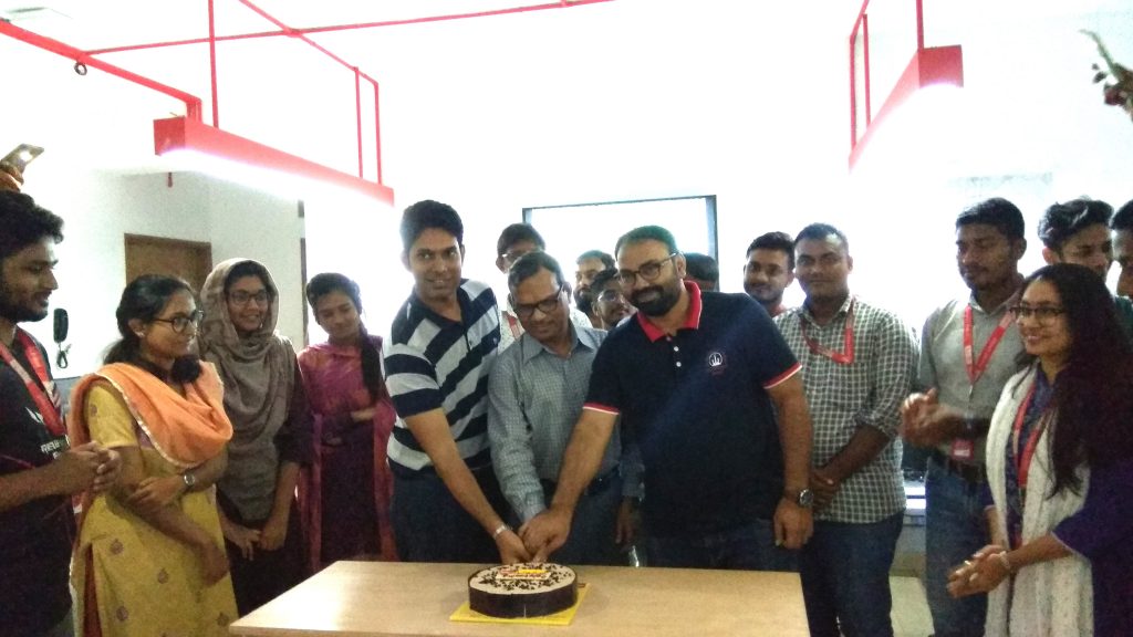
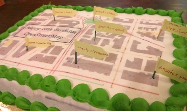
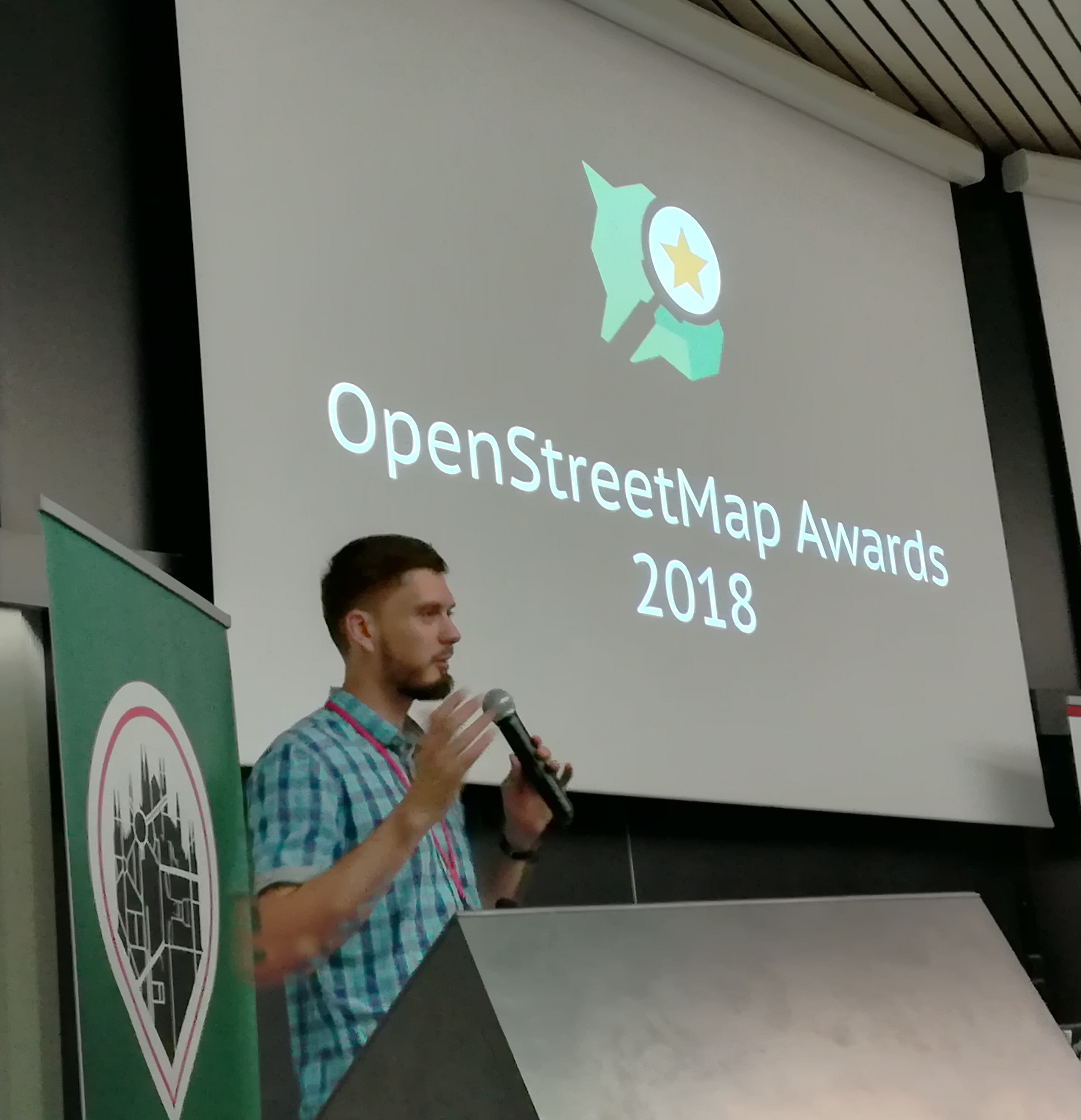
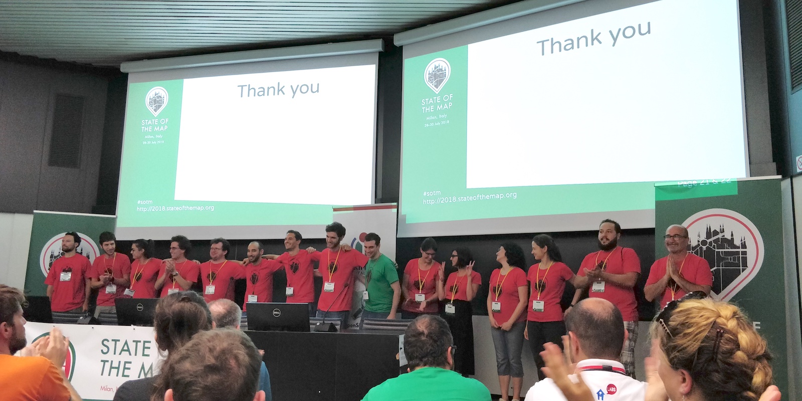
This year, OpenStreetMap reached the milestone of 1 million map contributors. Did you hear about the amazing sessions and everything interesting happening at the State of the Map conferences happening across the globe? This community is growing — what will make this journey better? YOU being a part of it.
If you are a map enthusiast, working hard to keep OpenStreetMap up-to-date, participate and organise mapping events, love teaching folks the nitty gritty of OpenStreetMap, share and write diaries or blogs about OpenStreetMap — if you aren’t a member already, then you should join up and support the OpenStreetMap Foundation
We’re running a membership drive from now until mid-November. Sign up now. We are already 800 members worldwide! You can help by liking, retweeting, or spreading the word about the Membership Drive to friends or at local events/conferences.
What are the things that I could do once I become a member of OSMF?
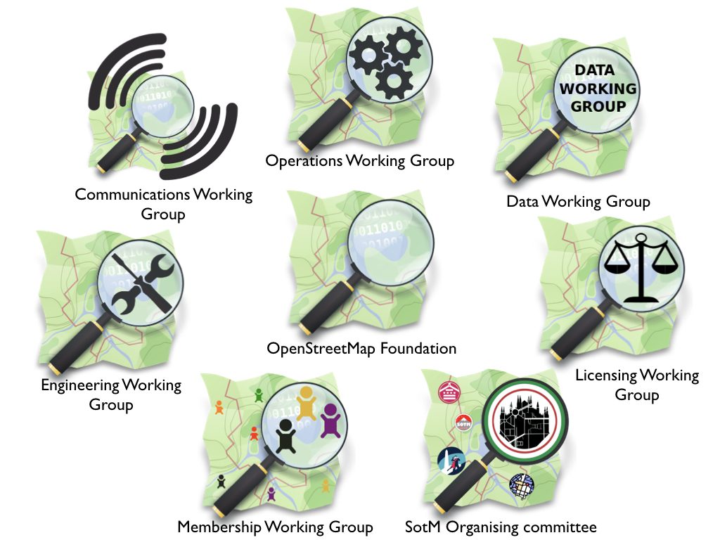
- You’ll have an official voice in the governance of the Foundation — the organization which owns and maintains the servers, holds the license, runs the State of the Map, coordinates local chapters.
- Influence the future direction of the project.
- Vote in the annual OSM Foundation elections for the board that steers the project.