
The OpenStreetMap Foundation has updated its Trademark Policy, as per January 1st 2018. The revised policy is the work of the OSMF volunteer Licensing Working Group.
Read the updated Trademark Policy

The OpenStreetMap magnifying glass logo. One of the marks covered by the new trademarks policy
Why does OpenStreetMap have marks?
The OpenStreetMap marks represent OpenStreetMap and its work to bring open map data to the entire world. When users see the OpenStreetMap name and logo, they should be confident that they are looking at a high quality map that is the result of the rigorous and comprehensive collaboration process of OpenStreetMap. Trademark protection helps reinforce that connection.
What are the goals of this trademark policy?
The goodwill supporting the OpenStreetMap marks has been generated by a prolific and passionate volunteer community. The OpenStreetMap Foundation has prepared this policy to preserve and protect that goodwill by ensuring that uses of the marks are consistent with OpenStreetMap’s mission and promote the OpenStreetMap movement.
How is this trademark policy different from most trademark policies?
This trademark policy seeks to make trademark licensing as easy as possible for the contributors who created OpenStreetMap, by making explicit that many uses do not require a trademark licence, and by empowering them to use OpenStreetMap’s marks without a trademark licence for community-focused events and outreach work. The OpenStreetMap Foundation hopes that this helps spread OpenStreetMap and encourage contribution while also ensuring that the mark remains a reliable signal of quality.
The updated Trademark Policy has information on:
- How to use the OSM marks
- When you may use the OSM marks without asking us
- Special uses that require permission
- Prohibited uses
- Unauthorised use
Some of the updates:
Offer to register domain names for informal local groups
The OpenStreetMap Foundation now offers to register domain names for informal local groups. Once a domain has been registered, it will point to the groups website as long as the terms of the trademark policy are followed and this can be done without causing conflicts with other user groups. Please note that this is intended for informal local groups, not Local Chapters. Please read the Trademark Policy for more details.
Events and conferences
Please read the Trademark Policy if you are interested in organising an OpenStreetMap related event or Conference.
Questions?
If you are not sure whether your use is in compliance with this policy or local trademark laws please don’t hesitate to contact OSMF at trademarks@osmfoundation.org
Join the legal-talk mailing list
The legal-tallk mailing list is focused on the discussion of all legal matters relating to OpenStreetMap, including licensing and copyright. Join or view the archives at https://lists.openstreetmap.org/listinfo/legal-talk
About the Licencing Working Group
The Licencing Working Group is one of the seven volunteer Working Groups of the OSM Foundation, focused on the promotion of open geospatial data through practical, coherent and clear licensing. If you find that interesting we invite you to join us – just mail us at legal@osmfoundation.org


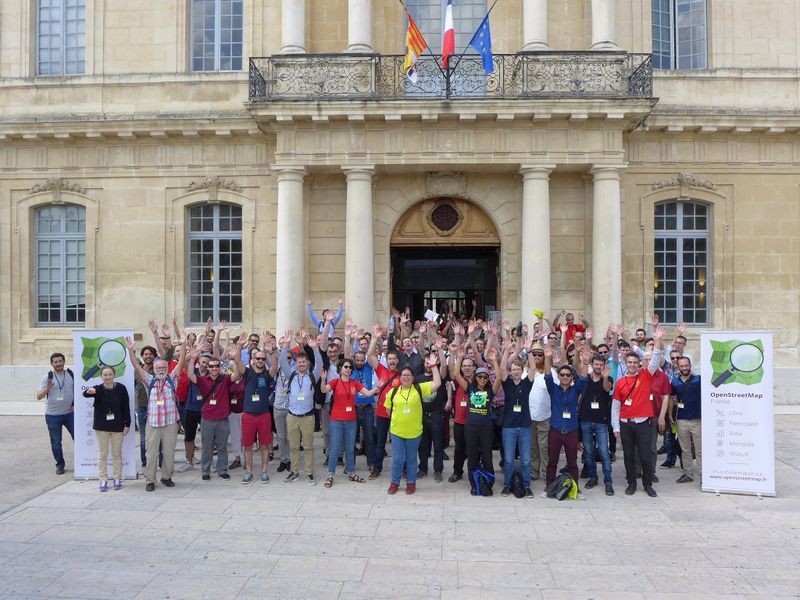
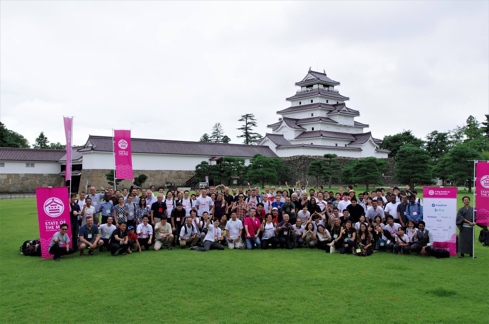
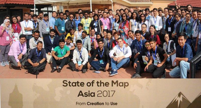
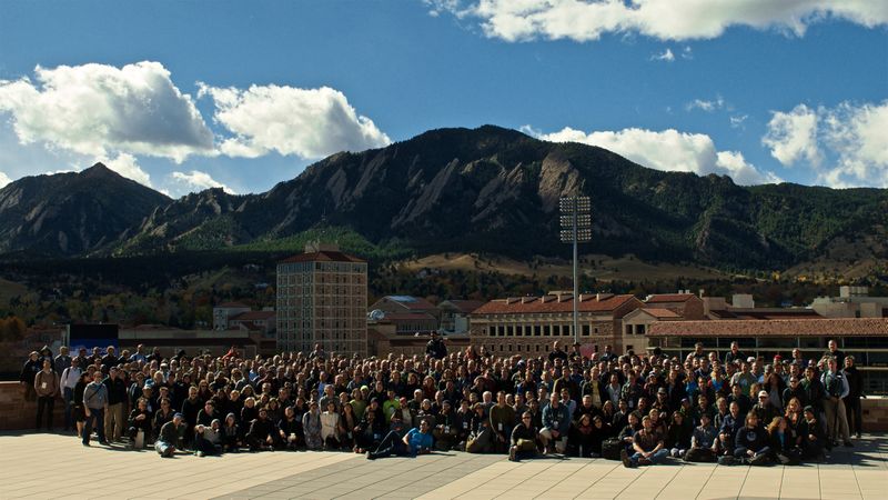
 In parallel to the standard sessions, this year


