Working Group Summary

This is a summary of the recent activities of the OSMF Working Groups. While it strives to be an accurate report, the official minutes are to be considered accurate when this summary differs from them.  The intent is for these periodic summaries to include information from more working groups and board meetings.  This is the first summary so it probably deserves some background.

Background

When the new OSMF board was formed for 2010, a task was set to new board members Emilie Laffray and Oliver Kühn to “make OSMF better at communicating”. They formed the OSMF Communication Working Group and invited Harry Wood and Richard Weait to participate in the initial plans for the group.

Initial discussions looked at all of the current forms of communication in which the OSMF participates. This was a long and diverse list and was frankly overwhelming. So it was decided to tighten the scope of the CWG, at least initially, to “Make OSMF better
at communicating with the OSMF members and wider OSM community.”

That goals was formalized and presented to the OSMF Board during a recent board meeting as:

CWG currently has four members and will expand according to opportunity and need. CWG will focus initially on outgoing communication from OSMF Board and Working Groups to OSMF members, OSM community and the public. CWG will continue to monitor and consider other communication channels for opportunities to improve communication. CWG see the openstreetmap.org web site as within scope of CWG, but not a top priority.

CWG will continue with weekly or bi-weekly meetings according to availability and current tasks. CWG will make use of the currently dormant blog.osmfoundation.org (this blog), as an official OSMF Board and Working Group announcement source. This will cross-link generously with OpenGeoData.org which is a source of OSM-related news and commentary. CWG will encourage regular use of blog.osmfoundation.org for periodic summaries of Working Group activities and OSMF Board business.

That brings us up to date to the recent CWG meeting on 06 October 2010.

Summary of Communication Working Group meeting of 06 October 2010

The CWG recognized that Hurricane Coast had volunteered to join the CWG and her offer was unanimously accepted. Hurricane is expected to join the CWG as of 11 October 2010.

Harry is leading the review of current OSMF / OSM communication channels. This review will continue for the foreseeable future.

Apart from content, and making better use of blog.osmfoundation.org, the CWG would like to tidy up the OSMF web sites a bit. CWG seeks technical guidance on this topic and those with both MediaWiki skinning and WordPress theming experience are welcome to share their thoughts with CWG on this matter.

CWG have asked the OSMF Board for permission to pick up the OSMF logo competition which seems to have fallen dormant.

CWG to summarize CWG activities in a “human-readable” format and post them to blog.openstreetmap.org

Summary of OSMF Board Meeting of 07(?) October 2010

A first face-to-face meeting of the new board is planned for the week-end of the 12th December.

A request for a financial support for a OSM related project came up: It was decided to let the Strategic Working Group establish a policy for under which circumstances financial support can be granted. In addition it was discussed to set up a “pin board” that serves as exchange for specific sponsoring opportunities: projects that require funding and people/companies that want to sponsor can find each other.

A task was established to evaluate how operational spendings can be approved without waiting for a board meeting.

It was decided that no exceptions will made for the new contributor terms – regardless of the contributions of any (potential) user.

Summary of Communication Working Group meeting of 11 October 2010

The first order of business for the Communication Working Group meeting of 11 October 2010 was to welcome new participant Hurricane Coast. The first CWG blog post, a summary of recent Board and Working Group minutes is expected on or about Thursday 14 October 2010. A twitter account for CWG or the Foundation Board was considered but it was decided to use the existing @openstreetmap account until a clear requirement for a CWG account arises.

Analytics has been added to osmfoundation.org to assist in measuring interest in the various pages of the osmfoundation site. CWG would like to get an idea of the interest in various pages on OpenGeoData.org as well. What interests the community. What would the community like for us to communicate about?

Summary of License Working Group Meeting 12 October 2010

This meeting was largely a summary of outstanding issues around existing imports, derivation and ODbL/CT.  According to the import catalogue only 13 cases rely upon only CC-By-SA, they effect (Poland 1, Germany 5, Czech Republic 1, Wikipedia 1, France 1, Sweden 1, The Netherlands 2, UK 1, Australia 1).  Only 10 rely upon only CC-By, they effect (Australia 9 (possibly + 2 more?),  New Zealand 1)

With so few cases in play, direct discussion to negotiate required permissions is possible.

The new UK Open Government license will have to be watched as it may be compatible with future OSM.

A review of the Contributor Terms is in progress.  Some terms are being reviewed by counsel, others have been reviewed and will be unchanged.

LWG considered adding a Hall of Shame, to list alleged OSM license violations as they are brought to the attention of the LWG.

Summary of Communication Working Group meeting of 18 October 2010

Nothing substantial to report.  Next meeting 01 November 2010.

Transit schedules could be better.

Media_httpfarm4static_qobhg

Some of us are wondering what SteveC will be up to next, between hang
gliding lessons and skiing. He offered one hint today when he
published a new blog and introduced us to “Transiki”. Kind of like
Transit and Wiki; get it?

Steve talked about proprietary transit formats and varying attitudes
toward data sharing. This will be good fun to keep an eye on as it
progresses. Imagine the cool things that we’ll be able to learn when
we can see the neighboring and / or competing transit systems all in
the same tool. We’ve seen how OpenCycleMap makes a joke of municipal
cycle maps that “stop at the border”. Cyclists care bout the other
side of the border as well. Transit maps are about to get a wakeup
call.

You should read all of Steve’s announcement on his new Transiki blog:

http://blog.transiki.org/

Spot Image Trial OSM Image Donation

Aerial imagery provider Spot Image is allowing OSM users to derive
data from selected Spot Image images in France.

The announcement, in French, expresses interest in finding mutual
benefit for Spot Image and OpenStreetMap. As described by
Jean-Francois Faudi, of Spot Image,

At this stage, we are only making a test over France. As
soon as possible, we will try to evaluate the mutual benefits for Spot
Image and OpenStreetMap in order to foster an extended collaboration.

http://www.geographiques.org/carnet/2010/10/05/spot-images-met-a-disposition-…

Some of us first became aware of the interest Spot Image has in
OpenStreetMap in June 2010, when Spot Image was announced as Silver
Sponsor of State of the Map.

http://opengeodata.org/state-of-the-map-2010-exciting-updates

Public use of OpenStreetMap data, with attribution

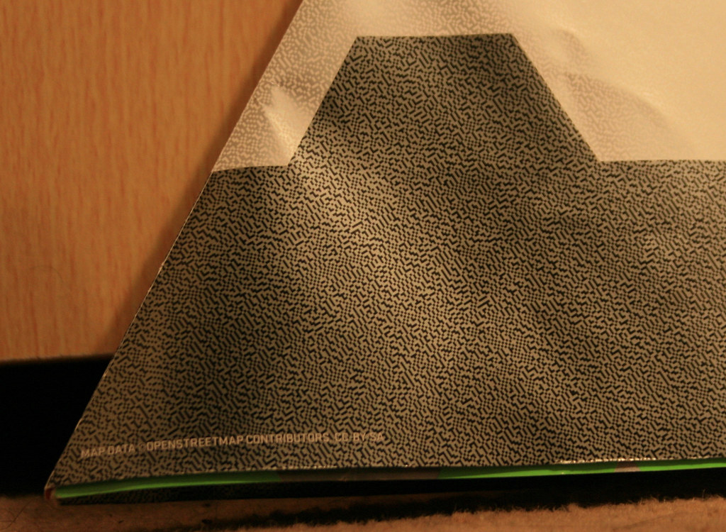
Looks like there will be another Nike Grid event in London, England
using OpenStreetMap data. The online maps haven’t been released yet
but it looks like they have included OSM and CC-By-SA attribution on
at least some of their printed material this time.

http://www.nikegrid.com/

It is always nice to see people and companies understanding the value
of OpenStreetMap data and then using and attributing it appropriately.

Attribution photo by Ollie O’Brien http://www.flickr.com/photos/oobrien/
licensed CC-By-NC-SA http://creativecommons.org/licenses/by-nc-sa/2.0/deed.en_CA

Project of the Week: Potlatch 2

Media_httpwikiopenstr_ddbsr

You know it. You love it. It’s the editor on the main OSM web site.
It’s Potlatch and it’s had some serious renovations. It’s so new that
now it has a new name, “Potlatch 2”. But before Potlatch 2 can go live
on the OpenStreetMap web site, it has to be put through it’s paces.
After more than a year of development, Potlatch 2 is a complete
re-write of Potlatch. It has new features too numerous to mention, but
for the most important feature; it is an editor for OpenStreetMap. So
let’s test it.

Details and suggestions on the Project of the Week wiki page

http://wiki.openstreetmap.org/w/index.php?title=Project_of_the_week/2010/Oct_13

This is your Project of the Week. Submit your own projects or offer
suggestions to inspire and inform other mappers.

http://wiki.openstreetmap.org/wiki/Project_of_the_week/Proposals

Hardware fund Donation to OSM Foundation from MapQuest

MapQuest have made a donation to the OpenStreetMap Foundation. The
funds will be applied to hardware improvements and will benefit
OpenStreetMap contributors around the world.

http://blog.osmfoundation.org/2010/10/12/donation-for-osmf-hardware-from-mapq…

You can make a donation to OpenStreetMap as well, via the donation link below.

http://donate.openstreetmap.org/

Donation for OSMF Hardware from MapQuest

MapQuest have made a donation to the OpenStreetMap Foundation. The funds will be applied to hardware improvements and will benefit OpenStreetMap contributors around the world.

The OSMF would like to thank MapQuest for their donation, as do, I’m sure, the more than 311,000 OpenStreetMap contributors who will see the benefits of the improved hardware.

You can make a donation to OpenStreetMap, too.

Image of the Week: Великие Луки Mapping Weekend

Media_httpimgurcomy6p_ebdse

Великие Луки Mapping Weekend banner: “We’ve come from different cities
of Russia and Belarus to create the best map of Velikiye Luki in the
world”

This is a Featured image, which means that it has been identified as
one of the best examples of OpenStreetMap mapping, or that it provides
a useful illustration of the OpenStreetMap project.

If you know another image of similar quality, you can nominate it at

http://wiki.openstreetmap.org/wiki/Featured_image_proposals

List of relicensing accounts

Matt Amos, of the OpenStreetMap Foundation Technical Working Group, announced the publication of the list of accounts accepting ODbL/CT.

as part of the voluntary relicensing phase of the move to ODbL,
existing contributors have had the ability to voluntarily accept the
contributor terms. to help the community assess the impact of the
relicensing it was planned to make the information about which
accounts have agreed available. this will help with the evaluation of
the process and analysis of any consequent data loss, should the
switch be made. at the last LWG meeting, having been put to the board
for approval, it was decided to make this available [1], and i’m
pleased to announce that this list is now up [2] and being regularly
refreshed from the database every hour.

i look forward to seeing the new analyses, visualisations and tools
that can be built using this data.

cheers,

matt

[1] https://docs.google.com/View?id=dd9g3qjp_86hf7fnqg8
[2] http://planet.openstreetmap.org/users_agreed/users_agreed.txt

Matt’s announcement on legal-talk@openstreetmap.org mailing list can be found in the archives,

http://lists.openstreetmap.org/pipermail/legal-talk/2010-October/004914.html