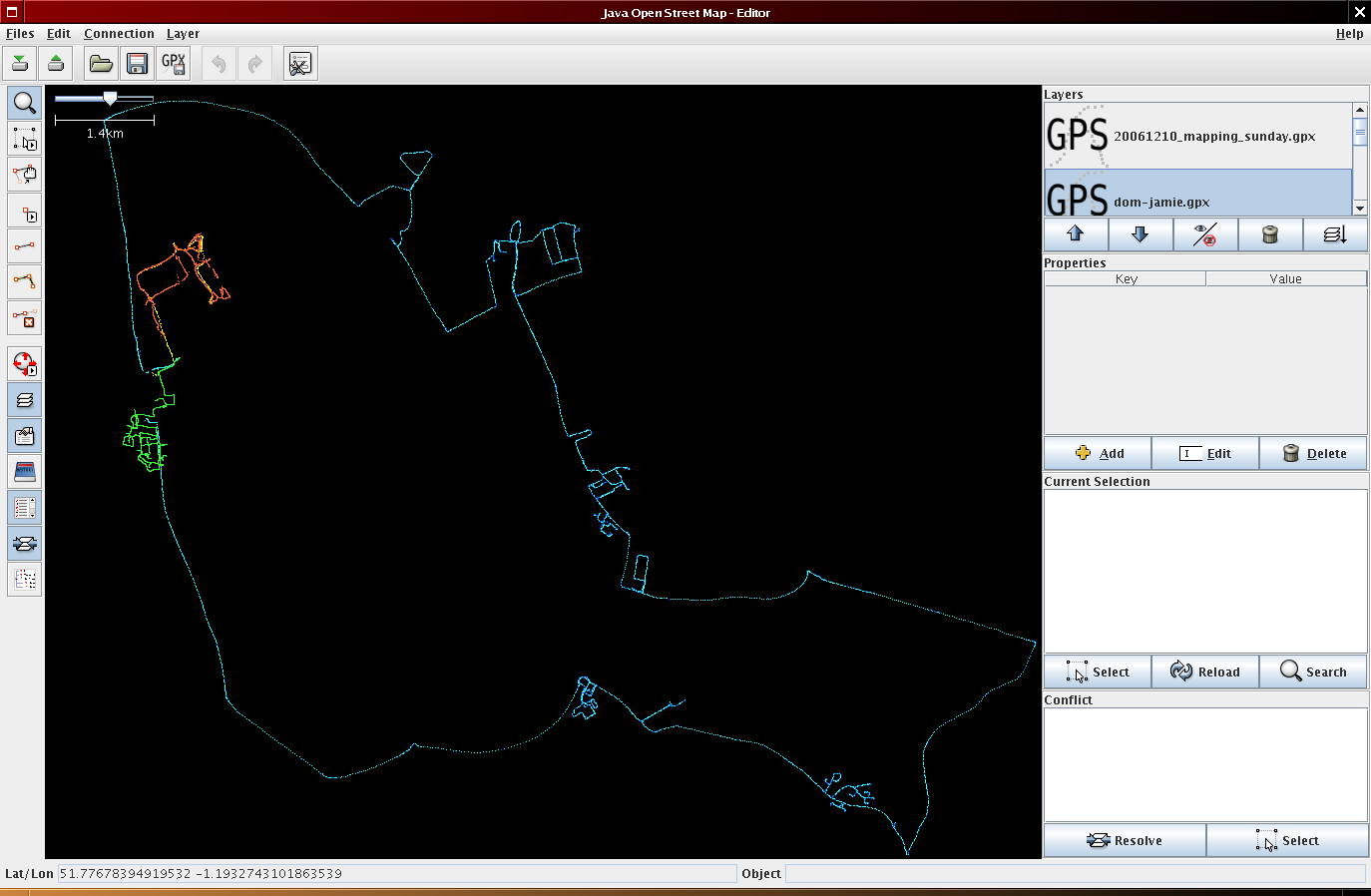
OSMonth 11.5

Let’s-a-go

  • restarted gpx import
  • submitted an xtech proposal. And a mapping party tutorial proposal.
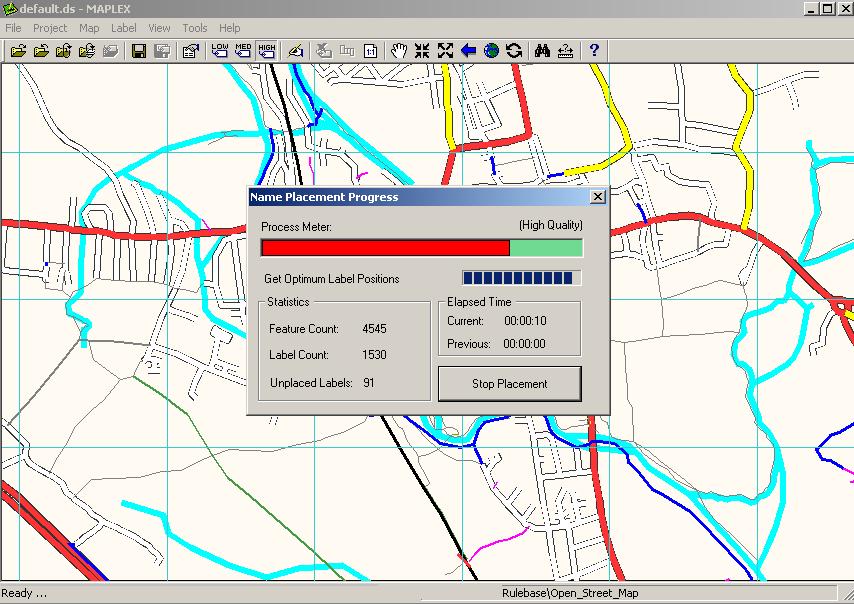
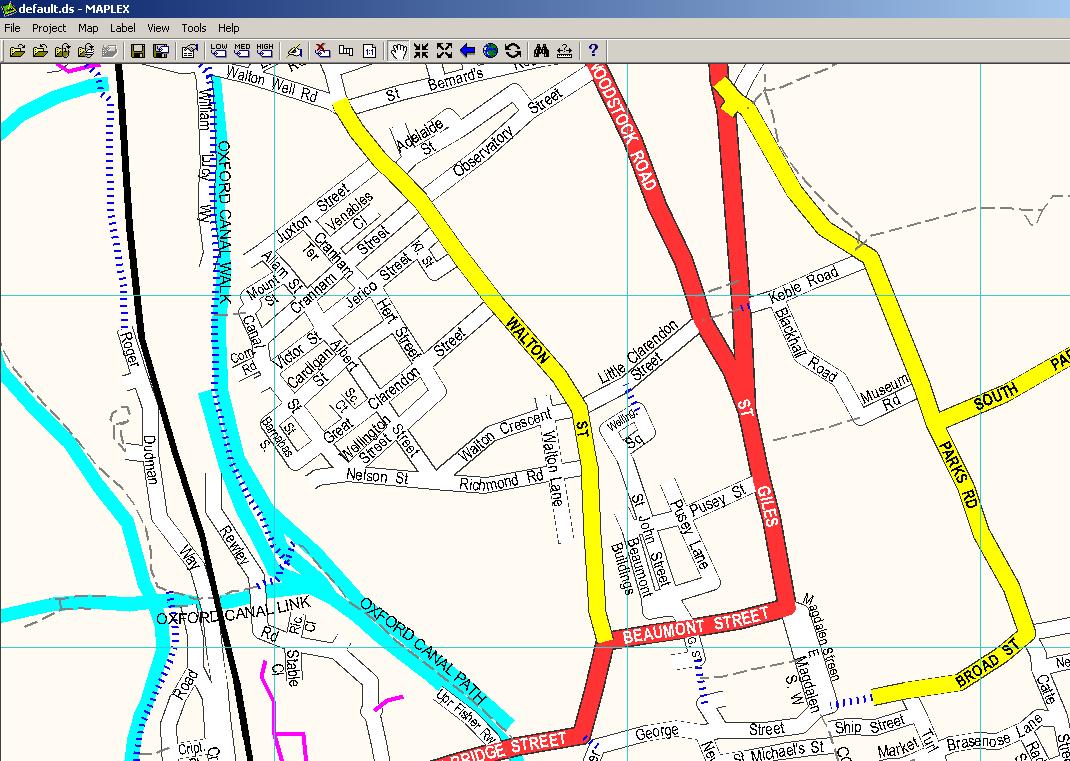
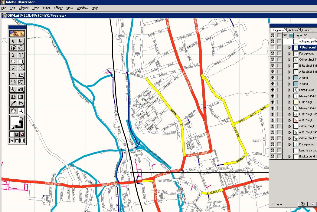
  • copying over a ton of tiles that RalfZ has rendered to the main map (in progress)
  • rm’d all the blank tiles with find -size 158c -exec rm ‘{}’ ;
  • Many updates on the applet due to Nick Burch, try it out!

done!

No OSMonth today

Or yesterday. I got called away to do some other work relating to previous contracts I’ve worked on. Tomorrow is the winter solstice meetup in Birmingham, come along. My birthday is next week and then it’s xmas so whilst there won’t be many consecutive days work on OSMonth as I’d like they will of course all still happen and be blogged here. In the meantime here’s a map to contemplate:

OSMonth: Day 10.5

Thanks go to Edmund von der Burg and Nick Whitlegg

  • UTF8 hell today. Looks like data is broken in the db now. String.isutf8 is only in Ruby 1.8.5 (current stable for most distros is 1.8.4) so backport needed for checking.
  • patched cgi.rb due to a big hole
  • added PRCONDITION_FAILED on rails api if segs nodes arnt available, or ways segs

OSMonth: Day 10

It begins… (and I’m having a hard time reconciling a bunch of payments so I don’t know who to thank right now)

  • fixed the planet script, an old copy generated the broken planet last night – new one tomorrow
  • updated schema to reflect yesterdays db changes
  • applet hacking

I’ve had to do a bunch of stuff for tonights ALN2 so calling it a half day.

OSMonth: Day 9

Thanks go to… Alex Willmer and Rhys Powell.

  • Doing database utf conversion so downtime needed. Done! tomorrows planet dump should speak utf8
  • Bunch of fixes to the Yahoo-based applet and deployed.

That’s it, two long jobs.

OSM Maplexed

Jerome Parkin at Lovell Johns has been playing with mapinfo, maplex and OSM data to produce pretty maps and get them in to Illustrator. This open mapping stuff could really take off.

The process involved the following

  • Downloading data from OSM
  • Load in file into postgis
  • Export to shape file format
  • Re-project the data from geographic to British National Grid
  • Re-coded (in arcmap) to match LovellJohns MapVU range
  • Maplexed (text placement) this re-coded data
  • Exported to Illustrator

As Jerome says ‘[It] looks promising as an alternative to expensive OS data.’:

OSMonth: Day 8.5

Begin again… thanks Frankie Roberto and Eckhart Wörner

  • Read through a bunch of latin1 -> utf8 stuff and announced downtime on monay to fix it
  • Wrote a GeoRSS ruby class for OSM (changeset 1771) and in the process found a big bug in the rss that OSM currently spits out that I WONTFIX
  • Got pagination (though not the rails native pagination, it’s slow) working with GPX files
  • put together a post about maplexing OSM data (see next post)
  • Hooked up the RSS feed and cleaned up trace pages so they are almost identical to the existing pages (changeset 1771)
  • initial go at viewing traces by user or tag

c’est fini

OSM in WorldWind

worldwind ‘lets you zoom from satellite altitude into any place on Earth. Leveraging Landsat satellite imagery and Shuttle Radar Topography Mission data, World Wind lets you experience Earth terrain in visually rich 3D, just as if you were really there.’

Think Google Earth, but before Google Earth came out (I think, correct me if I’m wrong). Anyway in their continuing efforts to make geographic information in the world more readily accessible, MetaCarta labs principally through Chris Schmidt have made available a WMS-C server of OSM maps, and now WW support! Check out the screenshot: