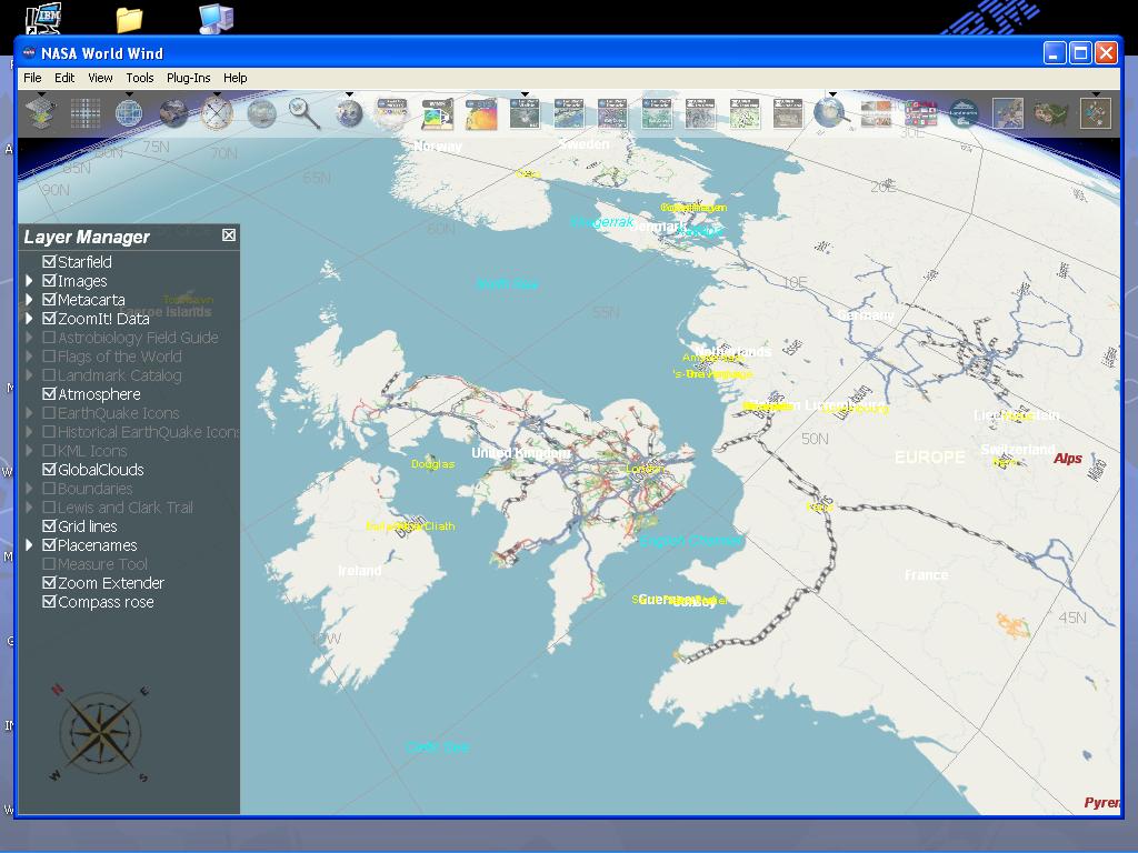
worldwind ‘lets you zoom from satellite altitude into any place on Earth. Leveraging Landsat satellite imagery and Shuttle Radar Topography Mission data, World Wind lets you experience Earth terrain in visually rich 3D, just as if you were really there.’
Think Google Earth, but before Google Earth came out (I think, correct me if I’m wrong). Anyway in their continuing efforts to make geographic information in the world more readily accessible, MetaCarta labs principally through Chris Schmidt have made available a WMS-C server of OSM maps, and now WW support! Check out the screenshot: