January 13th, 2013 – January 27th, 2013
A summary of all the things happening in the OpenStreetMap (OSM) world.
- Only one week left to submit a bid for the call of venues for the State of the Map 2013.
- TagInfo has been updated. Read more about the update and the integration into the new OSM iD editor in a blog post.
- The Humanitarian OSM Project has some new tasks for Mali. Further the team board has two new members. And Mikel wrote a blog post about the first HOT board meeting of 2013.
- You can now link OSM maps directly into your Tweets.
- The OSMBuilding project is looking for 3D building data.
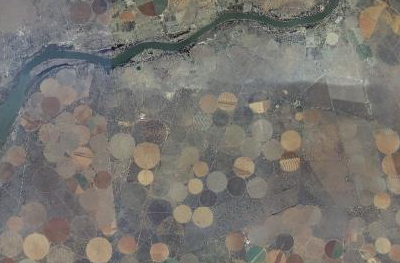
- New aerial imagery for South Africa is available at aerial.openstreetmap.org.za
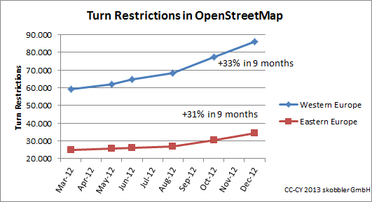
- The user Zartbitter created a new quality check tool for OSM turn restrictions.
- Go Map!! is a new OSM editor for iOS devices.
- A new article by Richard Weait on how to add fonts in the Mapnik render software.
- Leaflet 0.5 has been released.
Did we miss something? You can contact us via weekly.osm@googlemail.com
Authors: Pascal & Dennis – (thx @ “Wochennotiz”)