The OpenStreetMap Foundation (OSMF) Board of Directors is excited to share this blog post with all of our community members. From June 6th-7th, members of the Board of Directors Craig Allan (Chair), Dani Waltersdorfer Jimenez (Secretary), Roland Olbricht (Treasurer), Héctor Ochoa Ortiz, Laura Mugeha, Maurizio Napolitano, and facilitator Allen Gunn (also known as Gunner), met for two full working days in Madrid to discuss and tackle priorities and action items that need to be accomplished in the next 12 months. Amongst the discussed topics are a fundraising campaign, the “reviving” of the Communications Working Group (CWG), a new job posting which will be shared in the next coming months, the OSMF move to the European Union (EU), the launch of an Artificial Intelligence (AI) policy, and other topics. It is truly a pleasure to work with a team that is aligned on shared values including trust and respect, who are pushing for the success of a shared passion: the OpenStreetMap project. It must be noted however, that all of this could not have been possible without the leadership, patience, and tremendous organizational skills of Gunner who has been the OSMF facilitator for over 10 years. Thank you, Gunner!
What made this meeting particularly special is that we had the honor and pleasure of working from the TomTom offices in Madrid. We want to truly highlight our gratitude for TomTom for sharing their space with us, and most of all, we want to give a big shout-out to Priscilla Zachée for spending her weekend with us.
Face-to-face meetings are unlike others. For those who don’t know, us Board Members live in different countries all over the globe, so having the opportunity to work together, “ideate”, brainstorm, discuss tough topics, and enjoy our time together is quite treasured and important for us. And on the front of the importance of human connection, we promise to keep pushing forward the key that makes OpenStreetMap truly unique, unlike any other geospatial database out there: Our essence is our community.
We’d like to extend a thank you to all members of the community for your continued trust and passion for the OSM Project. We are always here for you should you have any questions or comments.
From 28th April to 1st May 2026, I attended the Geospatial World Forum (GWF) 2026, representing the OpenStreetMap Foundation. The GWF is an annual forum attended mostly by companies and public administration delegates in the geospatial domain. Henk Hoff, all the way back in 2013, was the last OSMF representative attending the GWF, when we received the award for “Geospatial Content Organisation of the year 2012”. So it was long overdue that OSM’s voice could be heard in this professional setting.
Aarti Holla-Maini, United Nations Office for Outer Space Affairs, speaking at the Opening Plenary. Own picture under CC-BY 4.0
This year’s theme was Sovereignty, Economy, Society. A theme greatly fitting to OSM’s mission: to collaboratively create open geospatial data, by everyone and for everyone. Data that allows reuse -including commercially-, and which runs on open source software. The forum included several days of talks and panels, and a tech and exhibition fair, where companies and governments could showcase their solutions and make business deals. OSM is integral to the solutions of many of the companies exhibiting, so directly talking with representatives of these organizations is relevant, to explain how important it is to contribute back to the ecosystem, so it can be kept sustainable over time.
Sovereignty, but not isolation, was one of the main ideas mentioned during the event. As we need to collaborate in an evolving and uncertain world, both politically and also technologically with the rise of AI agents, while keeping the infrastructure that powers so many use cases up and running, and stable for the years to come. OSM and the open-source software that powers it can be key to this, as shown by the recent decision by the French government to use a fork of OSM’s core infrastructure as its choice to renew the technology powering its Cadastral systems.
“OSM is more vibrant the more diverse its community is”, this is the main idea I shared at the panel I took part in. A panel that, paradogically, could and should have been more diverse. We need more, and more diverse, people and organizations to know how important it is to contribute to OSM and its ecosystem, so we can together build an accurate representation of our world. Contribution to the ecosystem does come in various forms: data, resources (people, money, time), community building, improving the technology that powers the project, and more. In that sense, communication goes a long way, and it is something that we are improving on at the Foundation, and we should keep aiming for. Thanks to Geospatial World for allowing us to participate in the forum, so the OpenStreetMap voice could be heard in these professional events.
Panel “Embedding GKI into Digital Public Infrastructure: Connecting Digital Systems to Physical Reality”. Own picture under CC-BY 4.0
On 4-6 September, we attended the State of the Map Latam 2025, the Latin American OpenStreetMap conference. This year marked the 7th edition, taking place for the first time in Colombia, in the vibrant city of Medellín. Medellín has been a model of urban transformation and community-led projects in the last couple of decades, with the conference venue being a perfect example of this. The Parque Biblioteca San Javier was the first Library Park to be built, a project aimed at bringing green, cultural, and educational spaces to the less affluent districts of the city.
Parque Biblioteca San Javier surroundings in Panoramax
Day 1
Day 1 started with the welcome speech by Juan Arellano and Andrés Gómez from the Organizing Committee. Afterward, we enjoyed a live performance of traditional Colombian dances, courtesy of Ballet Nacional El Firulete.
We at the OSMF had the privilege of conducting the first keynote presentation. Most attendees were unfamiliar with the Foundation and its role prior to the event, so attending events like this is a great way to spread awareness and diversify our membership.
The second keynote was presented by TomTom, one of the two event sponsors (the other being Geoapify). We thank all the sponsors who make this and other community events possible, as well as for their continuous support of the OpenStreetMap project.
Ballet Nacional El Firulete dancing Cumbia1OSMF Keynote2
After lunch, the program continued with the talk from Trufi, on how OpenStreetMap can be used for mapping Public Transport, and become the foundation of MaaS in the Global South. Informal transport is a common occurrence in many parts of the world, yet knowing where these routes go can be a challenge for both users and planning authorities. The day continued with a discussion on the future of Humanitarian Mapping after the stopping of USAID funding. Parallel to these two sessions, attendees could also take a guided visit to the neighbourhood around the event location, accompanied by social entities.
To conclude the day, we took part in the General Assembly of OSM Latam for three hours, which included a lengthy discussion on the challenges both the region and OSM face in the future. Following the official program, we continued to have dinner together and celebrated the 15th anniversary of HOT.
The second day featured a diverse range of talks and workshops, with up to four sessions running in parallel! Since it is impossible to discuss all of them, we encourage you to explore the program and contact the authors of the talks of interest to you.
The topics discussed during the day were categorized into Governance and Community, Risk Management, OSM Data, OSM Tech, Informal Settlements, Amazonia, Academic Talks, and Workshops. Community partnerships are a cornerstone of the Latin American mapping community, where making a social impact and strengthening the social fabric are among the most important aspects of mapping, a characteristic that is very present in the day’s talks.
Risk management panel discussion, showcasing experiences in Peru, Mexico, Colombia and Ecuador4natural=tree survey mapping workshop5
From gender representation in the OSM community to localized geocoding, from social justice slum mapping to student training and engagement, from indigenous mapping to infrastructure and risk mapping, from storytelling to public transport maps. A blog post cannot do justice to the use cases and social transformations the Latam community is creating. An engagement that is possible through the power and openness of OpenStreetMap.
We invite you to review the slides from each talk and workshop in this Commons category.
Merchandise and snack exchange table. Shout out to the volunteers who make it all possible!6
After the event, we continued on to socialize and have dinner together.
Day 3
Day 3, the final day of the conference, started strongly, with four parallel talks already scheduled in the first allocated slot. This day featured more technical talks compared to day 2, with topics categorized into the following areas: Public Transport, OSM Tech, Governance and Community, Trees and Forests, Pedestrian Mapping, OSM Data and Use Cases, Academic Talks, and Workshops.
From OSMCha to OpenHistoricalMap, from OSM and Wikidata integration to mapping with OSMTracker, from sidewalk mapping to Python, and from YouthMappers to Government collaboration. The exchange of technical knowledge is an important way to connect ideas and use cases with the tools that can bring them to life. Additionally, the engagement of the younger generation and governmental entities is crucial to the long-term sustainability of the data in the region.
Sidewalks as a separate geometry, or as attributes on the street?7Youth panel discussion8
A personal highlight of the day was the drone imagery workshop. Most Latin American countries lack high-quality government mapping imagery and, therefore, must rely on satellite imagery. But mappers took matters into their own hands to produce high-quality drone imagery to meet their surveying needs! And while the workshop was underway, we used the same drone to take the group pictures of the event; we were quite a crew!
Drone mapping workshop9Group picture, hands up and wave!10
The day then concluded with the event’s closure, which included the election of the venue for SotM Latam 2026. There was only one bid, but the attendees agreed it was a strong one. So see you in Mexico City in 2026, ¡órale!
The OpenStreetMap Foundation is a not-for-profit organisation, formed to support the OpenStreetMap Project. It is dedicated to encouraging the growth, development and distribution of free geospatial data for anyone to use and share. The OpenStreetMap Foundation owns and maintains the infrastructure of the OpenStreetMap project, is financially supported by membership fees and donations, and organises the annual, international State of the Map conference. Our volunteer Working Groups and small core staff work to support the OpenStreetMap project. Join the OpenStreetMap Foundation for just £15 a year or for free if you are an active OpenStreetMap contributor
Source: https://commons.wikimedia.org/wiki/File:SotM-Latam-2025_Show5-9.jpg by Andrés Gómez “Angoca” under CC-BY ↩︎
Source: https://commons.wikimedia.org/wiki/File:SotM-Latam-2025_OSMF2.jpg by Andrés Gómez “Angoca” under CC-BY ↩︎
Source: https://commons.wikimedia.org/wiki/File:SotM-Latam-2025_15a%C3%B1osHOTOSM2.jpg by Andrés Gómez “Angoca” under CC-BY ↩︎
Source: https://commons.wikimedia.org/wiki/File:SotM_Latam_2025_-_d%C3%ADa_2_-_imagen_20.jpg by Héctor Ochoa Ortiz “Robot8A” under CC-BY-SA ↩︎
Source: https://commons.wikimedia.org/wiki/File:TallerMapeoTree_SotMLatam2025.jpg by Paul Dassori “Pdassori” under CC-BY-SA ↩︎
Source: https://commons.wikimedia.org/wiki/File:SotM_Latam_2025_-_d%C3%ADa_2_-_imagen_13.jpg by Héctor Ochoa Ortiz “Robot8A” under CC-BY-SA ↩︎
Source: https://commons.wikimedia.org/wiki/File:SotM_Latam_2025_-_d%C3%ADa_3_-_imagen_17.jpg by Héctor Ochoa Ortiz “Robot8A” under CC-BY-SA ↩︎
Source: https://commons.wikimedia.org/wiki/File:SotM-Latam-2025_Panel8-2.jpg by Andrés Gómez “Angoca” under CC-BY ↩︎
Source: https://commons.wikimedia.org/wiki/File:SotM_Latam_2025_-_d%C3%ADa_3_-_imagen_36.jpg by Héctor Ochoa Ortiz “Robot8A” under CC-BY-SA ↩︎
Source: https://commons.wikimedia.org/wiki/File:SotM-Latam-2025_participantes-6.jpg by Andrés Gómez “Angoca” under CC-BY ↩︎
Source: https://commons.wikimedia.org/wiki/File:SotM_Latam_2025_-_d%C3%ADa_3_-_imagen_43.jpg by Héctor Ochoa Ortiz “Robot8A” under CC-BY-SA ↩︎
Official OSM logo by Ken Vermette, CC-BY-SA 3.0 & trademarks apply.
Voting for the 2025 board election has started. You can read the board candidates’ answers and manifestos here.
Emails were sent to eligible OSM Foundation members today, and link directly to the voting page – listing each candidate in random order and allowing you to rank the candidates in order of preference.
Eligibility to vote
You are eligible to vote in the election if
you have been a member for the full 90 days prior to the date of the Annual General Meeting(which will take place on 13 September 2025), and
your membership is not in arrears 7 days before the date of the Annual General Meeting, and
you are a natural person.
OpaVote voting email
If you are eligible to vote, the OpaVote email was sent to the email address associated with your OSM Foundation membership.
The subject of the email is: [OpenStreetMap Foundation] Voting on 2025 board election [some_random_letters]
The sender is: noreply at opavote.com
If you believe you should have received a voting email but can’t find it, please check your spam folder. If it’s still missing, send a message to the email addresses mentioned here.
The polls will remain open for one week, closing on Saturday 13 September 2025 at 16:00 UTC, when the Annual General Meeting (which you can join online) will commence. We kindly ask you to vote in advance.
The OpenStreetMap Foundation is a not-for-profit organisation, formed to support the OpenStreetMap Project. It is dedicated to encouraging the growth, development and distribution of free geospatial data for anyone to use and share. The OpenStreetMap Foundation owns and maintains the infrastructure of the OpenStreetMap project, is financially supported by membership fees and donations, and organises the annual, international State of the Map conference. Our volunteer Working Groups and small core staff work to support the OpenStreetMap project. Join the OpenStreetMap Foundation for just £15 a year or for free if you are an active OpenStreetMap contributor.
Official OSM logo by Ken Vermette, CC-BY-SA 3.0 & trademarks apply.
OpenStreetMap Foundation members will vote to elect a new board in September. There are seven seats on the foundation board and board members are volunteers. Board members typically serve for two years until their seat is up for re-election.
There will be at least three board seats available in this election: of Dani Waltersdorfer, Guillaume Rischard and Roland Olbricht, whose board terms are ending. The terms of Craig Allan, Héctor Ochoa Ortiz, Laura Mugeha and Maurizio Napolitano will continue.
The two main pages that have the information about the board election and the 2025 Annual General Meeting, which will take place on 2025-09-13, are:
A lot of the foundation’s work is done by the volunteers of our Working Groups, and if you want to help the foundation, you can also look at joining one of them.
Eligibility criteria
Any natural person may be elected to become a board member, provided that:
they have been a normal OSM Foundation member [1] or an associate member[2] during the full 180 days before the General Meeting, which will take place on 13 September 2025, and
have been a normal member for the full 28 days prior to the General Meeting, and
are willing to act as a board member, and
are permitted by law to do so.
[1] Normal members provide their full residential address and can vote on all issues. Their residential address may be disclosed to other members. [2] Associate members provide just their country of residence - which may also be disclosed to other members - and can vote - but not on all issues. Additionally, they cannot be board candidates.
If you want to find out the type of your OpenStreetMap Foundation membership (normal or associate), please check the most recent approval/renewal membership email or email the volunteers of the Membership Working Group at membership@osmfoundation.org from the email account associated with your OSM Foundation membership.
Submission of community questions to board candidates is now open
OSM Foundation members can submit questions to the board candidates on the OSM wiki until July 12 (“by end of day”, in UTC). An official set of questions, based on the community questions and questions from previous years, will be published on the page above by the facilitator, Brian Sperlongano, on July 26.
Resolutions proposed by OSM Foundation members
OSM Foundation members can submit resolutions and ask the membership to vote on them. The resolutions need to be supported by at least 5% of members eligible to vote, in order to be added to the ballots. Please read: Companies Act 2006: Members’ power to require circulation of written resolution. The deadline for providing the supported resolutions is the end of July 12 (in UTC).
How you can help
A few of the current and past board members have mentioned that the thought of being a candidate did not cross their mind until it was suggested to them. So, you might want to consider running for the board or suggesting it to others.
The OpenStreetMap Foundation is a not-for-profit organisation, formed to support the OpenStreetMap Project. It is dedicated to encouraging the growth, development and distribution of free geospatial data for anyone to use and share. The OpenStreetMap Foundation owns and maintains the infrastructure of the OpenStreetMap project, is financially supported by membership fees and donations, and organises the annual, international State of the Map conference. Our volunteer Working Groups and small core staff work to support the OpenStreetMap project. Join the OpenStreetMap Foundation for just £15 a year or for free if you are an active OpenStreetMap contributor
The OpaVote voting emails will be sent to eligible OSM Foundation members this Saturday 12 October 2024, after 16:00 UTC and will link directly to the voting page – listing each candidate in random order and allowing you to rank the candidates in order of preference.
Eligibility to vote
You are eligible to vote in the election if
you have been a member for the full 90 days prior to the date of the Annual General Meeting (which will take place on 19 October 2024), and
your membership is not in arrears 7 days before the date of the Annual General Meeting, and
you are a natural person.
OpaVote email
The email from the OpaVote online voting platform will be sent to the email address associated with your OSM Foundation membership, and
the subject of the email will be: [OpenStreetMap Foundation] Vote for 2024 Board Elections [some_random_letters],
If you believe you should have received a voting email but can’t find it by Sunday, 13 October, please check your spam folder. If it’s still missing, send a message to the email address mentioned here.
Voting information and answers to frequent questions
You can find more information about voting and answers to frequently asked questions on this page.
Please make sure to read the warning on the page before voting.
The polls will remain accessible for one week, closing on Saturday 19 October 2024 at 16:00 UTC, when the Annual General Meeting will commence. We kindly ask you to vote in advance.
The OpenStreetMap Foundation is a not-for-profit organisation, formed to support the OpenStreetMap Project. It is dedicated to encouraging the growth, development and distribution of free geospatial data for anyone to use and share. The OpenStreetMap Foundation owns and maintains the infrastructure of the OpenStreetMap project, is financially supported by membership fees and donations, and organises the annual, international State of the Map conference. Our volunteer Working Groups and small core staff work to support the OpenStreetMap project. Join the OpenStreetMap Foundation for just £15 a year or for free if you are an active OpenStreetMap contributor.
Official OSM logo by Ken Vermette, CC-BY-SA 3.0 & trademarks apply.
Submission of self-nominations for the 2024 OSM Foundation board election is open. At least four of the seven board seats are available. Board members are volunteers and typically serve for two years until their seat is up for re-election.
You can put yourself forward as a board candidate by adding your information to the OSM wiki.
Community members can submit questions to the candidates here, until 24 August 2024 at 23:59:59 UTC. The official set of questions, which candidates will be asked to answer, will be based on the questions from the community and previous years. The facilitator for the questioning process this year, selected by the board, is Brian Sperlongano.
Resources regarding the 2024 board election and the 18th Annual General Meeting
For more information regarding the 2024 board election and the 18th Annual General Meeting, please see the following links:
Monthly view – Please check the description of each event for exact dates and times — the OSM wiki is the authoritative source.
How you can help
Besides asking questions and voting, a few of the current and past board members have mentioned that the thought of being a candidate did not cross their mind until it was suggested to them. So, you might want to think if you’d like to run for the board or to propose being a candidate to others.
The OpenStreetMap Foundation is a not-for-profit organisation, formed to support the OpenStreetMap Project. It is dedicated to encouraging the growth, development and distribution of free geospatial data for anyone to use and share. The OpenStreetMap Foundation owns and maintains the infrastructure of the OpenStreetMap project, is financially supported by membership fees and donations, and organises the annual, international State of the Map conference. Our volunteer Working Groups and small core staff work to support the OpenStreetMap project. Join the OpenStreetMap Foundation for just £15 a year or for free if you are an active OpenStreetMap contributor
Official OSM logo by Ken Vermette, CC-BY-SA 3.0 , trademarks apply.
OpenStreetMap Foundation members will vote to elect a new board in October. There will be four seats available: of Arnalie Vicario, Craig Allan, Mateusz Konieczny and Sarah Hoffmann, whose board terms are ending. The terms of Dani Waltersdorfer, Guillaume Rischard and Roland Olbricht will continue. There are seven seats on the foundation board and board members are volunteers.
You can create an account on the OSM wiki here and you will be able to add your name to the table that will be added on that date by editing the page here (please wait until 28 July 2024 to do so). Self-nominations will close on the 13th of August at 23:59 UTC.
A lot of the foundation’s work is done by the volunteers of our Working Groups, and if you want to help the foundation, you can also look at joining those.
Who can become a board candidate
Any natural person may be elected to become a board member, provided that:
they have been a normal OSM Foundation member [1] or an associate member[2] during the full 180 days before the General Meeting, which will take place on 19 October 2024, and
have been a normal member for the full 28 days prior to the General Meeting, and
are willing to act as a board member, and
are permitted by law to do so.
[1] Normal members provide their full residential address and can vote on all issues. Their residential address may be disclosed to other members. [2] Associate members provide just their country of residence - which may also be disclosed to other members - and can vote - but not on all issues. Additionally, they cannot be board candidates.
If you want to find out the type of your OpenStreetMap Foundation membership (normal or associate), please check the most recent approval/renewal membership email or email the volunteers of the Membership Working Group at membership@osmfoundation.org from the email account associated with your OSM Foundation membership. Please see the OSM wiki regarding changing your membership type.
Resources about the 2024 board election and Annual General Meeting
The main two pages that have the information about the 2024 board election and Annual General Meeting are:
OSM Foundation members can submit resolutions and ask the membership to vote on them. The resolutions need to be supported by at least 5% of members eligible to vote, in order to be added to the ballots. Please read: Companies Act 2006: Members’ power to require circulation of written resolution. The deadline for providing the supported resolutions will be the 24th of August.
How you can help
A few of the current and past board members have mentioned that the thought of being a candidate did not cross their mind until it was suggested to them. So, you might want to think if you’d like to run for the board or to suggest being a candidate to others.
The OpenStreetMap Foundation is a not-for-profit organisation, formed to support the OpenStreetMap Project. It is dedicated to encouraging the growth, development and distribution of free geospatial data for anyone to use and share. The OpenStreetMap Foundation owns and maintains the infrastructure of the OpenStreetMap project, is financially supported by membership fees and donations, and organises the annual, international State of the Map conference. Our volunteer Working Groups and small core staff work to support the OpenStreetMap project. Join the OpenStreetMap Foundation for just £15 a year or for free if you are an active OpenStreetMap contributor
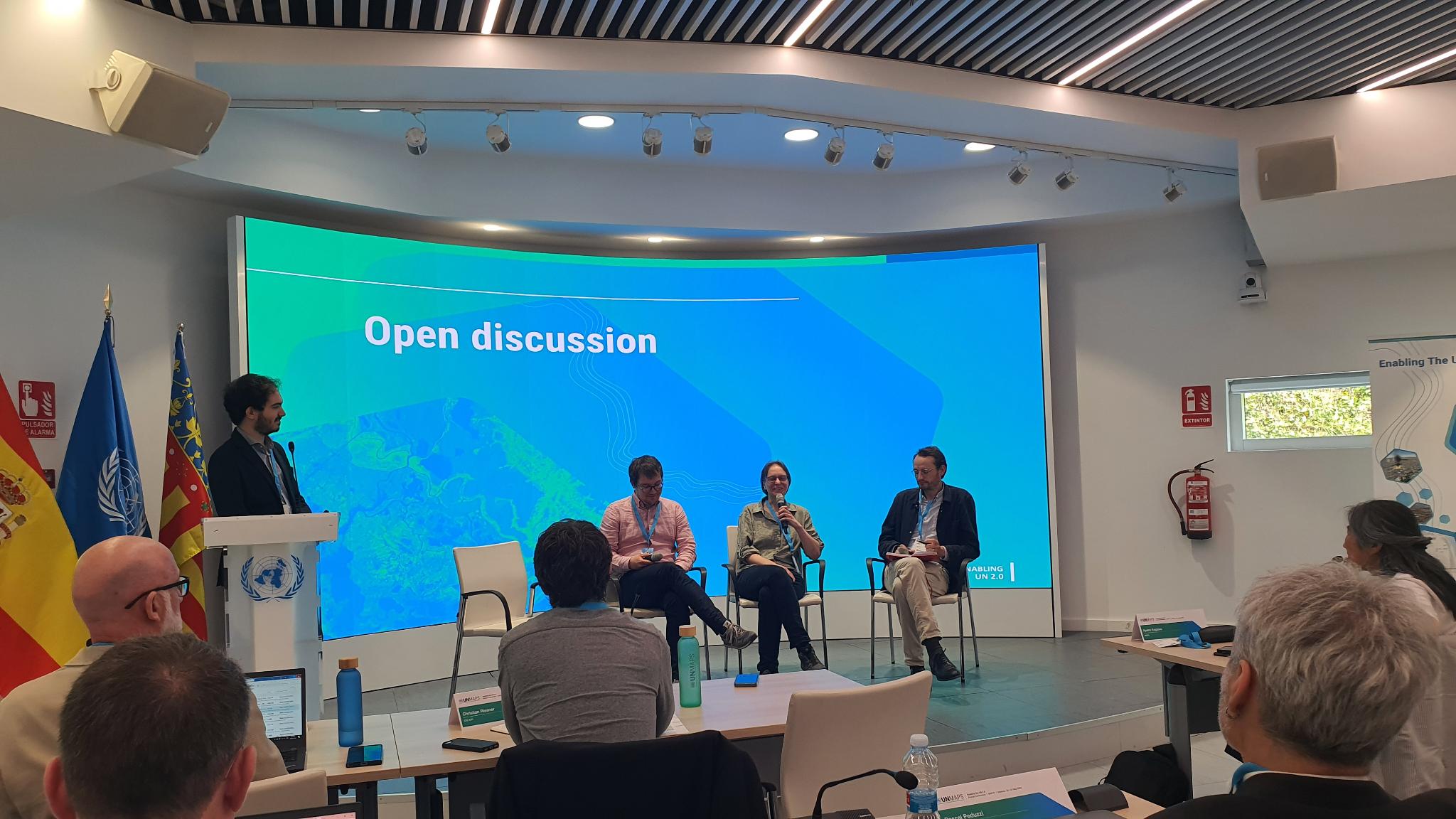
OpenStreetMap foundation board member Sarah Hoffmann recently joined the 3rd annual UNMaps conference in Valencia, Spain to present about the OpenStreetMap project and participate in a panel discussion about crowd-sourced geodata.
The UNMaps conference brings together the GIS experts from the different entities of the UN, which was about a hundred participants in 2024. There were representatives from the UN secretariat, the different UN entities, like UNICEF and the International Criminal Court (ICC), and people from the UN peacekeeping missions. They also regularly invite external partners and contributors to present their work and join the discussions. Given the vital role that OSM already plays in their work, they asked the OSMF board to join the conference and represent the OpenStreetMap community. Also invited from the wider OSM community were the researchers from HeiGIT and the humanitarian mappers from HOT.
“It wasn’t necessary to explain to anyone who we are,” noted Sarah, “OpenStreetMap is well known and used on a daily basis within the UN. The maps produced by the UNMaps division for use within the UN heavily use OSM data, mainly replacing boundaries and names to follow the official policies of the UN.”
“Crowdsourcing Geospatial Information” Panelists from left to right: (host) Michael Montani (UNMappers; (panelists) Benjamin Herfort (HeiGIT), Sarah Hoffmann (OSMF), Sam Colchester (HOT).
In many areas where the different UN entities operate, OSM is the best (and sometimes only) available source for geographic data. Thus, base maps using OpenStreetMap data were featured in almost every presentation. And it doesn’t stop there. UN users also contribute back to improve and complete the map in the areas where they use it, and the UN Mappers community supports the UN with organised mapping activities.
Sarah answered questions about OSM and OSM operations, including a lively discussion about iD editor as a response to the question: how do we deal with errors in the map data? In addition, Sarah joined a panel discussion on crowd-sourced data focussing on the questions of data quality and the importance of local knowledge in map data.
The discussions continued in the hallways, as well. Sarah noted that there were informal conversations about what kind of data is suitable for OSM and how to best connect with the community, as well as about what it’s like to be part of a world-wide community in peaceful cooperation to achieve a common goal.
“The conference was a great opportunity for getting to know each other,” said Sarah, “seeing OpenStreetMap data used so much in the daily operations of the UN is a great reminder how much our project has grown and how essential our data has become for so many different activities.”
The OpenStreetMap Foundation is a not-for-profit organisation, formed to support the OpenStreetMap Project. It is dedicated to encouraging the growth, development and distribution of free geospatial data for anyone to use and share. The OpenStreetMap Foundation owns and maintains the infrastructure of the OpenStreetMap project, is financially supported by membership fees and donations, and organises the annual, international State of the Map conference. Our volunteer Working Groups and small core staff work to support the OpenStreetMap project. Join the OpenStreetMap Foundation for just £15 a year or for free if you are an active OpenStreetMap contributor
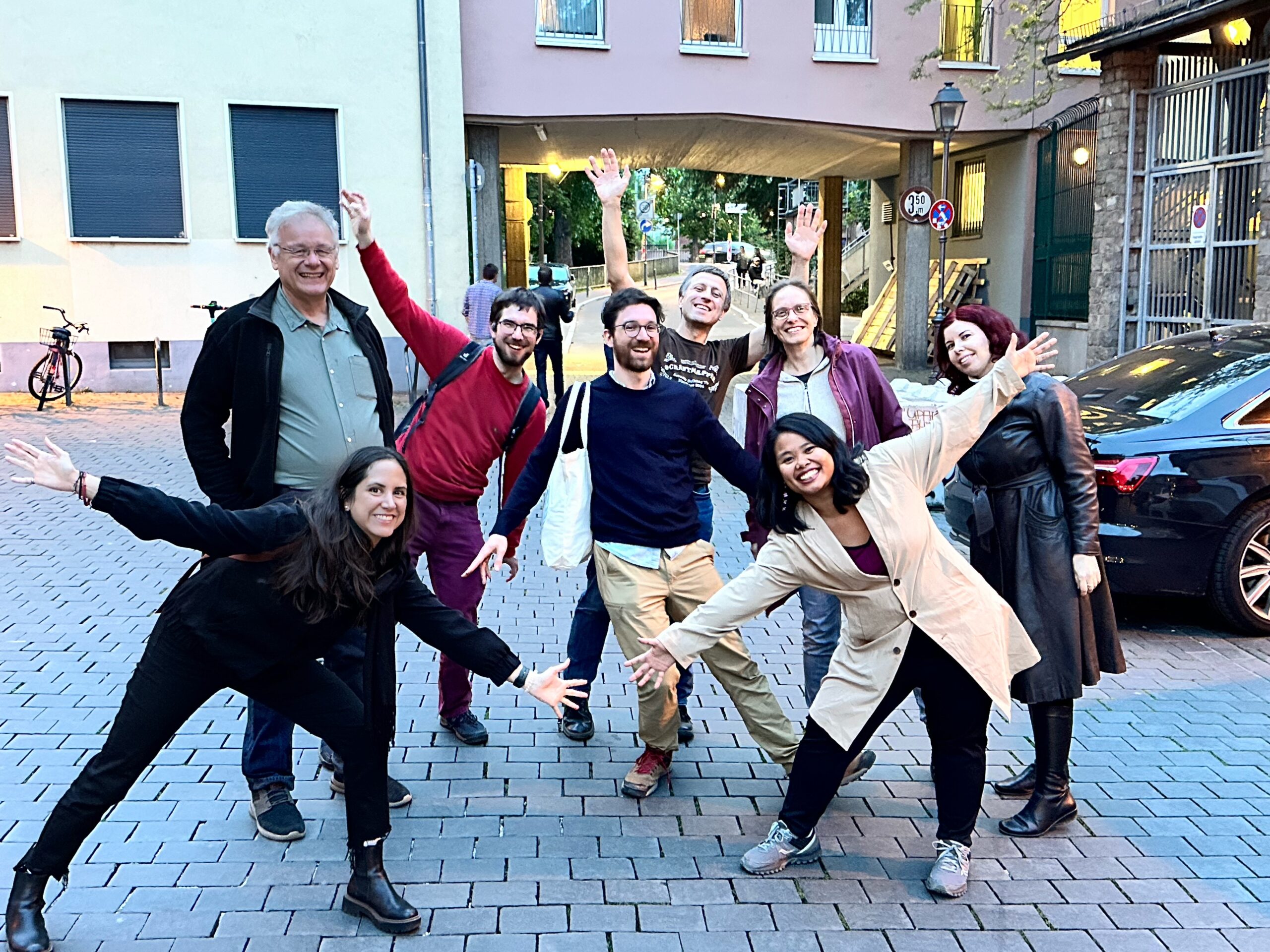
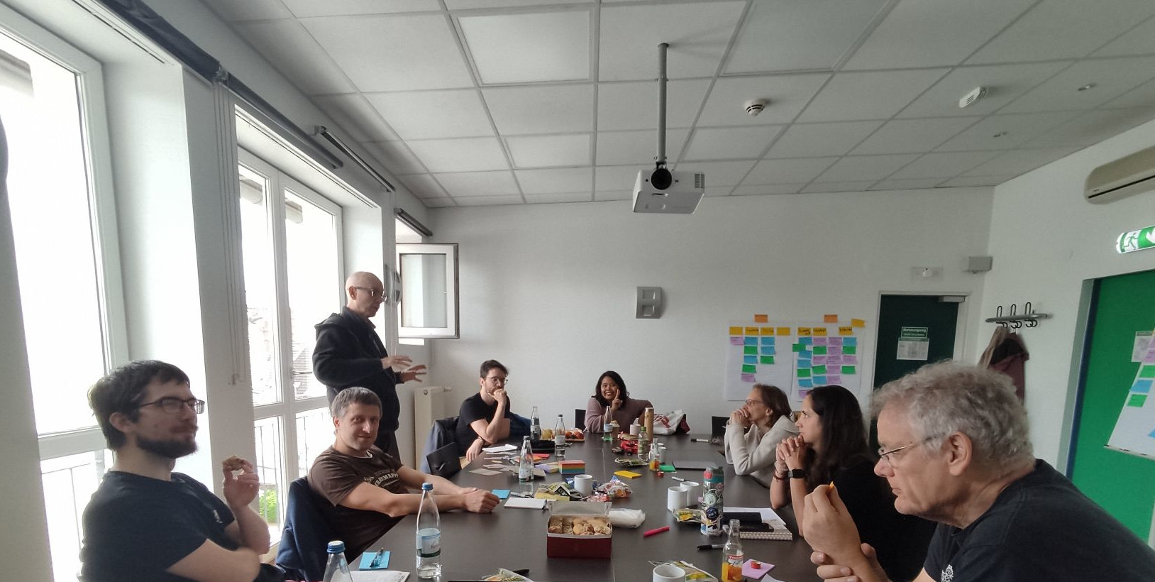
The OpenStreetMap Foundation (OSMF) Board of Directors recently convened for a Face-to-Face (F2F) strategy meeting, and we wanted to provide you all with an update!
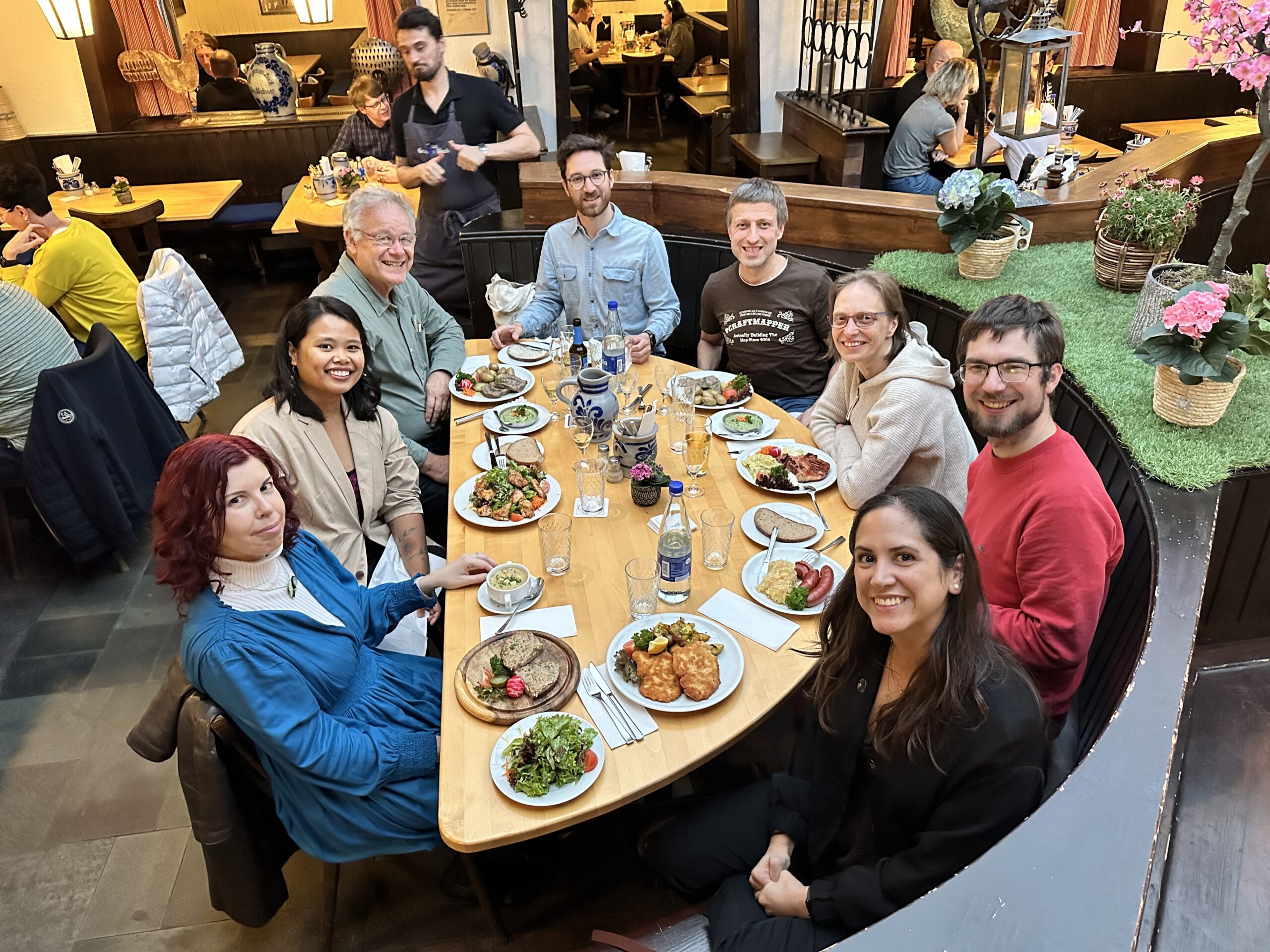
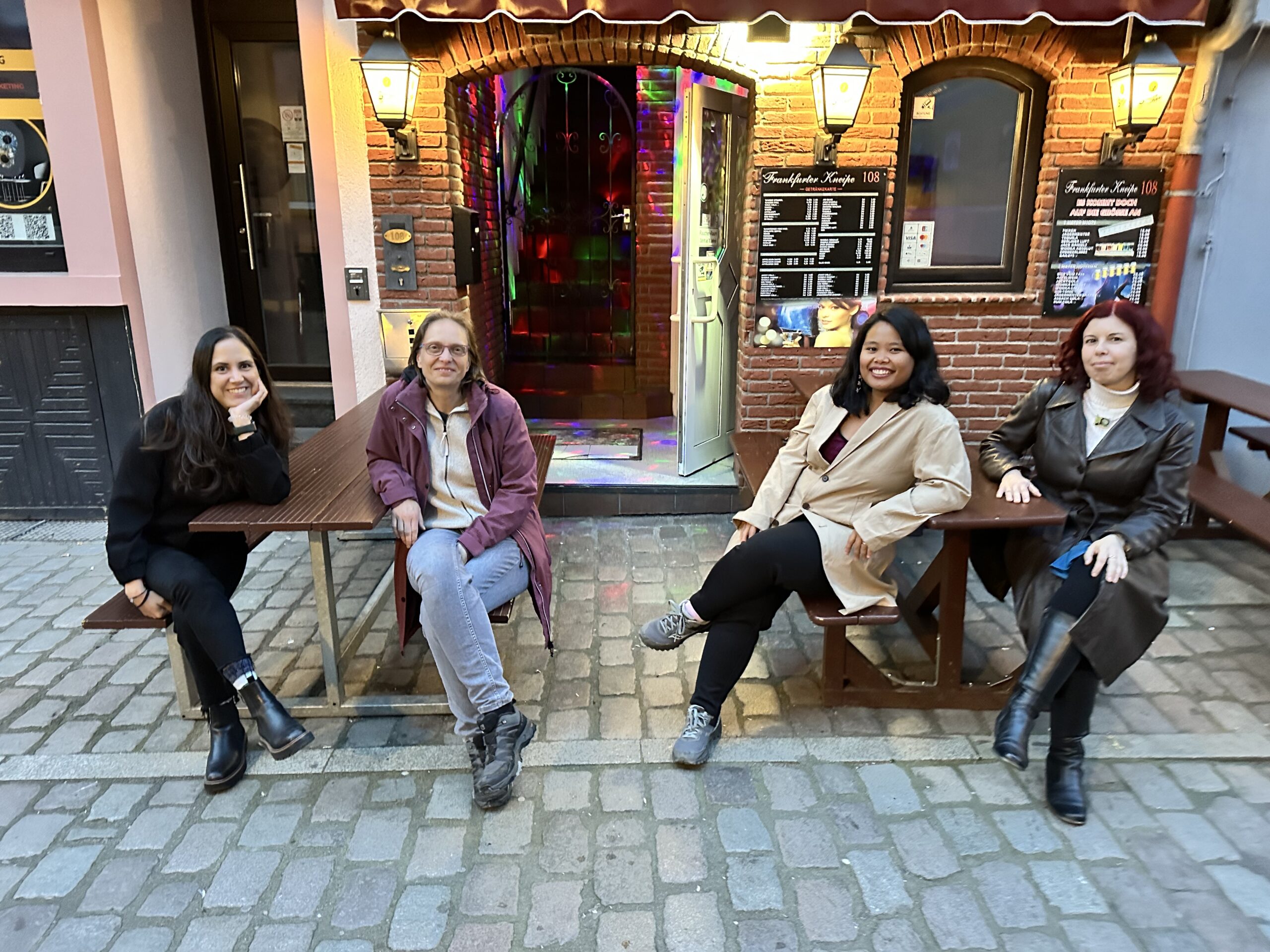
We met on April 27th and 28th in Frankfurt in person, and for some of us, it was our first time ever meeting in person.
The meeting allowed us to discuss and refine strategies, foster deeper connections, and become more effective in serving the OSM community. By coming together in person, we were able to cultivate a deeper understanding of each other’s perspectives, refine our communication strategies, and focus on the most pressing priorities facing the OSMF.
Over the busy weekend, we were fortunate to have the guidance of our trusted facilitator, Gunner, who helped us navigate through discussions and prioritize our action items. He helped us communicate better, refocus on what really matters, and prioritize our many tasks and goals. With his guidance, we were able to make the most out of our time together and tackle important issues head-on. With his support, we not only stimulated our internal operations but also laid a solid foundation for more effective engagement with the OSM Community.
By coming together, we were able to address challenges more efficiently, brainstorm innovative solutions, and lay the groundwork for future initiatives. As we move forward, the Board is excited and motivated to share the progress of our action items with the community. While some of these initiatives will yield results in the short term, others may require more time to fully come to fruition. Nevertheless, we are committed to transparency and accountability, and we look forward to celebrating our achievements together with you all, the community.
You read more about some of our discussions and actions from the meeting on the OSMF website (here).
We’re incredibly grateful for the opportunity to meet F2F and strengthen our bonds. And we’re not stopping here! Looking ahead, we are eagerly anticipating our next in-person engagement at this year’s State of the Map in Nairobi. This event will provide another invaluable opportunity for us to connect with each other, and most importantly with members of the OSM community, exchange ideas, and continue our collaborative efforts to make OpenStreetMap the best it can be.
The OpenStreetMap Foundation is a not-for-profit organisation, formed to support the OpenStreetMap Project. It is dedicated to encouraging the growth, development and distribution of free geospatial data for anyone to use and share. The OpenStreetMap Foundation owns and maintains the infrastructure of the OpenStreetMap project, is financially supported by membership fees and donations, and organises the annual, international State of the Map conference. Our volunteer Working Groups and small core staff work to support the OpenStreetMap project. Join the OpenStreetMap Foundation for just £15 a year or for free if you are an active OpenStreetMap contributor.