January 13th, 2014 – January 27th, 2014
A summary of all the things happening in the OpenStreetMap world.
- Richard Fairhurst wrote some code that adds routing to the main OSM webpage. Code and Running Demo, click “Get Directions”.
- Sticker: “We’re On The Map!”
- The OSM contributor cosmicpop created the 20,000,000th changeset.
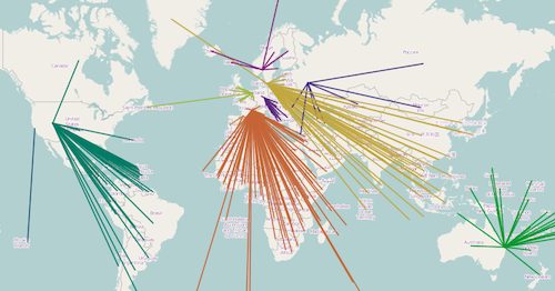
- More than 100,000 map notes have been reported by now. Some statistics.
- The Humanitarian OSM Team (HOT): Support Haiyan/Yolanda Reconstruction – Contribute Public Use UaV (Drone) Imagery.
- Harry Wood published the slides, notes and an audio recording of his “Typhoon Crisis Mapping ODI talk“. He also wrote a blog post for the HOT website with “Some editing stats from the Typhoon Haiyan response“.
- The Google Crisis Map for Tacloban City now also supports OSM.
- Richard Weait wrote a blog post about the quite interesting topic of mapping for the OSM render engine.
- Serge Wroclawski about „Edit Wars in OpenStreetMap“.
- Tom Chance used OSM data of London for strategic planning.
- Frederik Ramm published a webpage that calculates the number and size of map tiles of a given bounding box.
- Node-tileserver has been published. It is a lightweight tileserver using NodeJS. It can serve bitmap and vector tiles and is designed as a fast and easy-to-install tileserver that renders OpenStreetMap data.
- Rail routing worldwide based on OSM data.
- How to make an OSM wallpaper.
Authors: Pascal & Dennis – (thx @ “Wochennotiz”)