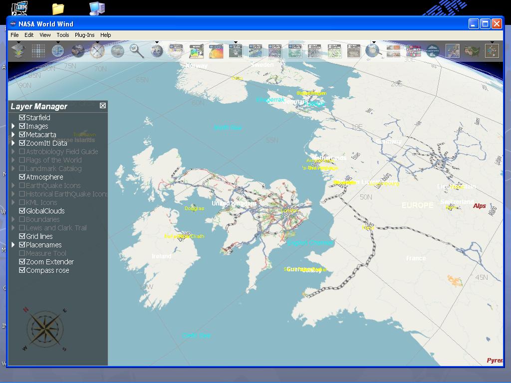
worldwind ‘lets you zoom from satellite altitude into any place on Earth. Leveraging Landsat satellite imagery and Shuttle Radar Topography Mission data, World Wind lets you experience Earth terrain in visually rich 3D, just as if you were really there.’
Today is brought to you by the number 8, the day Thursday, and ISO 8601 which tells us Thursday is defined as day 4 within a week (the wonders of wikipedia). Oh and Frankie Roberto and Eckhart Wörner
Spent time trying to figure out why API spits UTF8 but planet dump doesnt, still. Think the simplest solution is going to be converting all the db data to UTF8 but need to run some tests to see if it’s going to do the Right Thing.
Looked at getting the Yahoo logo in the applet. This arose from our early screenshots, apparently it needs the Yahoo branding which is fair enough
I got called away mid day to deal with some boring stuff, so it’s only a half day. Tomorrow will begin at 8.5, supported by the same guys.
Today is sponsored by Trevor Spiteri and Dominic Hargreaves! Thanks!
Stuff done today
Got the camera back up
Going to fix some crazyness that stops the applet deleting segments. Arghhh.
Russ Philips won the poster and book that were offered as prizes, they’ll be on the way shortly. The method for choosing the winner was `select rand();` and `select count(*) from osmonth;` and multiplying the two numbers together to get a row number, then getting the row details.
It begins… …and it ends. Been a busy day. Today was brought to you by Dean Earley and Russ Phillips. Have been hacking on the applet for the Yahoo imagery stuff and rendering lots of tiles with todays planet dump. Unfortunately the tiles didn’t really pay off and the applet won’t be live for a little while yet. Oh well.
Need to sort out lots of bits and pieces today, OSMonth will resume tomorrow at day 6 (eg, this is a pause and not counted as a day). Hope the Yahoo thing is good enough for today!
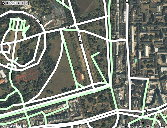
Yes, really. Yahoo! have agreed to let OSM use their aerial imagery. Many thanks are due to Jeremy Kreitler and Scott Regan at Yahoo! for putting this together. On the OSM end, Mikel Maron has put a lot in and I’ve (steve) rewritten the applet tiling code to use Yahoo! Imagery. So what does it look like? Well this is what we could use before, Landsat:
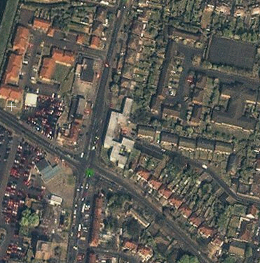
It’s about 15 meter per pixel and so not super useful for things like streets. This is the kind of imagery (actually the same area a bit zoomed in from the above) that Yahoo provides:
Bit better, isn’t it? Yahoo has large sections of the US, 200 world cities (for example the London imagery goes out beyond the M25) and more data being added all the time. Makes that mid 2008 goal a little more real. So what’s the applet look like?
No it’s not a mock up, check out this video:
There’s code in there which updates the relevant image copyrights which we must respect, along of course with Yahoos. This updates depending on what you’re looking at. We can of course derive vectors from it for use in OSM. The code needs some cleanup and tweaks. It needs to be integrated in to the site too, expect it in a week or so.
Of course, we still need to get all those street names and features. GPS traces are by no means dead – think of the new housing estates and areas without imagery. But instead of cycling down every road you should be able to just pass lots of them at either end to get the names. Or just from memory.
Where does this bring us to? Well the ‘big map companies’ use expensive cars and expensive aircraft with expensive cameras and expensive GPS units to create maps. Maybe our GPS units are cheaper and less accurate, but does it matter? I think not. We now have all the pieces of the puzzle and we’re putting out great maps for Free using Free tools.
I’ve known Muki from when I worked at CASA one summer long ago. OSM started as some conversations with his colleague Martin and also Matt. Muki did a great talk at the first asklater nights about map usability (or lack of it) online. Unfortunately the recording broke but I remember him pointing this gmaps query out and the fundamental lack of DPI problem with showing maps on computers.
A few people on the mailing list are graduates of either UCL or the GE department, and it’s great to be supported by the community, a map company and academia.