Category Archives: OSMF

Posts about organisation of the OpenStreetMap Foundation. Working groups, the board, and other entities, and how we structure our organisation

Request for feedback on proposal for OSMF membership based on sizeable contribution to the project

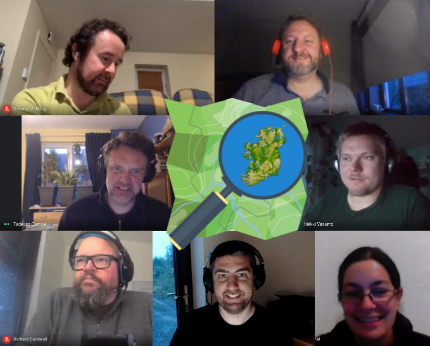
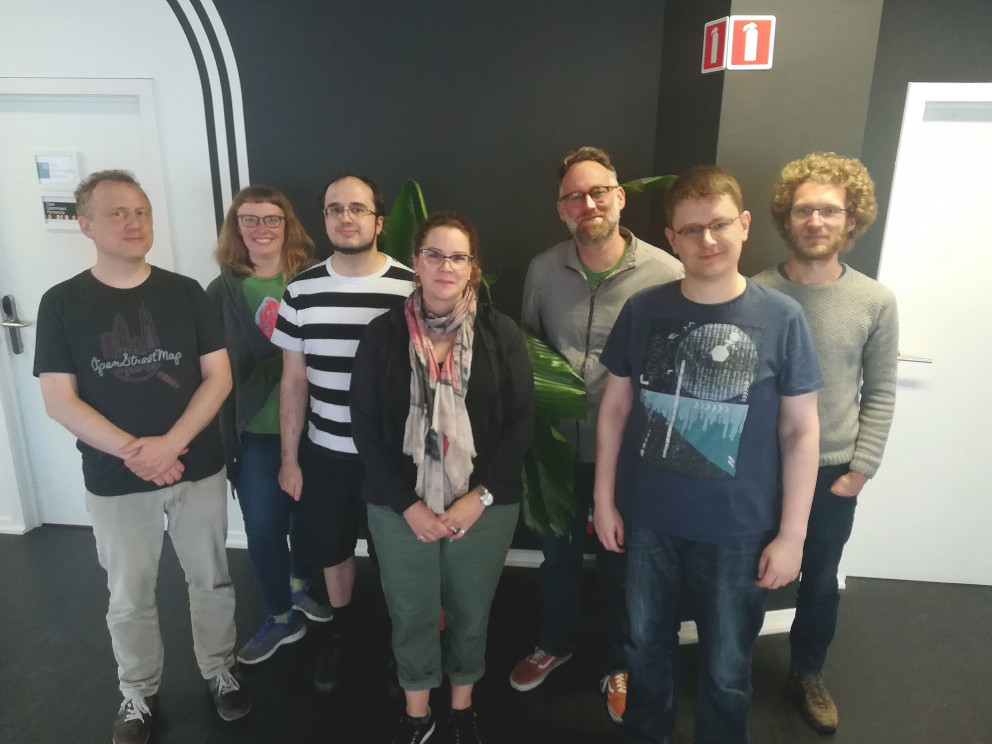
MWG logo based on the official OSM logo by Ken Vermette, CC-BY-SA 3.0 & trademarks apply. Figures by Pascal Neis, reproduced with permission.

Last December at the Annual General Meeting of the OpenStreetMap Foundation a proposal for membership in the foundation based solely on sizeable contribution was accepted with a very good result (91%):

The membership fee for associate membership, which normally is tied to the regular membership fee, may be waived if the person applying for membership can demonstrate that they have consistently made sizeable contributions to OpenStreetMap, for example by mapping.

The OSMF Membership Working Group will, together with the Board of Directors, define what counts as “sizeable contributions”.

Just like paid membership, membership under the membership fee waiver programme must be renewed annually.

Please read the rationale here.

In January, the Membership Working Group (MWG) discussed the implementation. Sorry for the long silence since; the MWG would now like to open the discussion and ask for your feedback and comments on the implementation of the new active contributor membership.

As described in the rationale for the vote, this is no charity. We want active contributors to be members of the OSMF and be able to vote for the benefit of the project. The membership fee should not be a barrier.

Our proposal is to automatically grant memberships to mappers who request it and who have contributed at least 42 calendar days in the last year (365 days).

Mapping days is not perfect, but we need a benchmark that is objective, easy to verify, and simple for us to measure and implement.

Why 42 days? If we measure contributions in mapping days by OSMF members who map (83%), roughly half of them map more than 42 days per year. We would expect a “slightly exceptional” contribution in terms of mapping days.

We also discussed abuse. You could of course make tiny contributions like wiggling a single node on 60 days, and maybe go undetected and get your membership. But that would be fraud, and the membership could be revoked if MWG finds out that the contributions are not meaningful.

On non-mapping contributions to the project

Not everyone contributes by mapping, and some of the most familiar names in our members list barely map. Some are very involved, for example, in organizing conferences. Those other forms of contribution should be recognised as well, and the board would take circular decisions on these applications.

Please share your thoughts

We would like to hear your thoughts on the proposal. You can:

Comments can be in any language you are comfortable with. We will make the best effort to have them translated.

Please share your thoughts before the 30th of April 2020.

Thank you.

Michael Spreng
Membership Working Group

Do you want to translate this and other blogposts in your language..? Please send us an email to communication@osmfoundation.org with subject: Helping with translations in [your language]

The OpenStreetMap Foundation is a not-for-profit organisation, formed to support the OpenStreetMap Project. It is dedicated to encouraging the growth, development and distribution of free geospatial data for anyone to use and share. The OpenStreetMap Foundation owns and maintains the infrastructure of the OpenStreetMap project, is financially supported by membership fees and donations, and organises the annual, international State of the Map conference. It has no full-time employees and it is supporting the OpenStreetMap project through the work of our volunteer Working Groups. Please consider becoming a member of the Foundation.

OpenStreetMap was founded in 2004 and is a international project to create a free map of the world. To do so, we, thousands of volunteers, collect data about roads, railways, rivers, forests, buildings and a lot more worldwide. Our map data can be downloaded for free by everyone and used for any purpose – including commercial usage. It is possible to produce your own maps which highlight certain features, to calculate routes etc. OpenStreetMap is increasingly used when one needs maps which can be very quickly, or easily, updated.
Call for Microgrants Committee

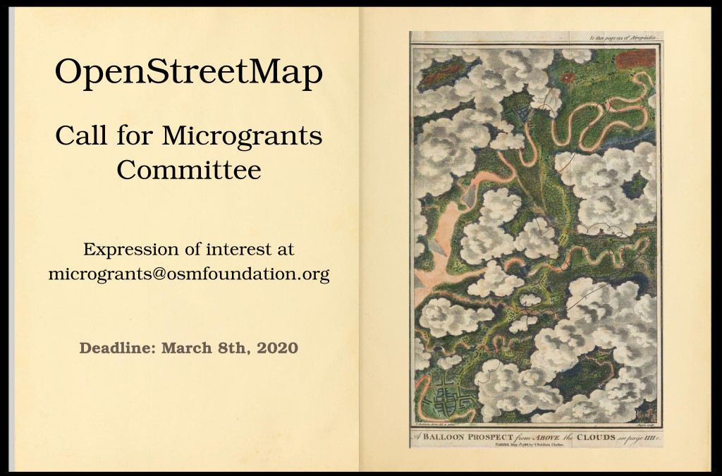
Drawing: “Balloon-Prospect”, featured in Thomas Baldwin’s Airopaidia (1786). Public domain. Image by the Communication Working Group.

Microgrants: enabling volunteers to do more by overcoming financial barriers.

The Microgrants project is ready for launch! When the OpenStreetMap Foundation received the Pineapple fund donation, the money was quickly earmarked as to be given back to the community. Now that’s finally happening, after a recent Board decision (plenty of background behind that link!). Any volunteer who thinks they can make an impact with a small grant will soon be able to apply.

But first we need the help of a few volunteers to manage the project. What do we expect of you?

  1. Running the call for projects.
  2. Making a selection of about ten projects.
  3. Following up with the selected projects.

Anyone can apply to be on the selection committee, and the Board will then make a selection. We are looking for people who know how the OSM community works, who have experience with making an impact for OSM – but also people with practical experience running these kinds of projects.

The policy document offers a guideline to what the Board wants to see happen with this project, but it leaves a lot of leeway for the committee to implement as they see fit. For example, the committee is expected to work out their own rules of order. During the entire process, you will be able to rely on Dorothea for administrative assistance.

The most impactful job of the Microgrants Committee will be the selection itself. The decision is expected to be based on deep community consultation. The Board did keep a veto right over the selected applications.

The committee is also expected to guide the projects to fruition. However, it is encouraged for the committee to extend the group with more volunteers, so as to lighten the workload and diversify points of view. For example, it would be really helpful to have volunteers who speak the language or are culturally close to the selected projects.

When the projects are finished and have reported on their experience, the Committee is almost done. A final task will be to make recommendations to the Board for the next phase of the Microgrants project – we’ve only just begun!

Send your application to join the Microgrants Committee
to microgrants at osmfoundation.org
by March 8th, 2020.

All relevant information will be accessible through the OSMF website at
https://wiki.osmfoundation.org/wiki/Microgrants

All the best,

Joost Schouppe
for the OSMF Board

Do you want to translate this and other blogposts in your language..? Please send an email to communication@osmfoundation.org with subject: Helping with translations in [your language]

The OpenStreetMap Foundation is a not-for-profit organisation, formed to support the OpenStreetMap Project. It is dedicated to encouraging the growth, development and distribution of free geospatial data for anyone to use and share. The OpenStreetMap Foundation owns and maintains the infrastructure of the OpenStreetMap project, is financially supported by membership fees and donations, and organises the annual, international State of the Map conference. It has no full-time employees and it is supporting the OpenStreetMap project through the work of our volunteer Working Groups. Please consider becoming a member of the Foundation.

OpenStreetMap was founded in 2004 and is a international project to create a free map of the world. To do so, we, thousands of volunteers, collect data about roads, railways, rivers, forests, buildings and a lot more worldwide. Our map data can be downloaded for free by everyone and used for any purpose – including commercial usage. It is possible to produce your own maps which highlight certain features, to calculate routes etc. OpenStreetMap is increasingly used when one needs maps which can be very quickly, or easily, updated.

OpenStreetMap Welcomes Diversity

In January, the OpenStreetMap Foundation adopted this Diversity Statement:

The OpenStreetMap Foundation and the global OpenStreetMap community welcome and encourage participation by everyone. Our community is based on mutual respect, tolerance, and encouragement, and we are working to help each other live up to these principles. We want our community to be more diverse: whoever you are, and whatever your background, we welcome you.

The Board then appointed the Diversity and Inclusion Special Committee to compile research and undertake new research on our diversity, identify root causes that contribute to any shortfalls, and make recommendations to help resolve issues and improve.

If you’re interested to take part, join one of the two upcoming starting meetings of the committee;

We’ll discuss the scope of work laid out by the Board, sketch initial work plans, and figure out logistics and timing and structure of future meetings.

You might also be interested to join the OpenStreetMap diversity mailing list.

Do you want to translate this and other blogposts in your language..? Please send an email to communication@osmfoundation.org with subject: Helping with translations in [your language]

The OpenStreetMap Foundation is a not-for-profit organisation, formed in the UK to support the OpenStreetMap Project. It is dedicated to encouraging the growth, development and distribution of free geospatial data for anyone to use and share. The OpenStreetMap Foundation owns and maintains the infrastructure of the OpenStreetMap project, is financially supported by membership fees and donations, and organises the annual, international State of the Map conference. It has no full-time employees and it is supporting the OpenStreetMap project through the work of our volunteer Working Groups. Please consider becoming a member of the Foundation.

OpenStreetMap was founded in 2004 and is a international project to create a free map of the world. To do so, we, thousands of volunteers, collect data about roads, railways, rivers, forests, buildings and a lot more worldwide. Our map data can be downloaded for free by everyone and used for any purpose – including commercial usage. It is possible to produce your own maps which highlight certain features, to calculate routes etc. OpenStreetMap is increasingly used when one needs maps which can be very quickly, or easily, updated.

Making it easier to join the OpenStreetMap Foundation

Joining the OpenStreetMap Foundation used to always require a membership fee (£15 per year, which you can pay by PayPal or bank transfer). However, if you are involved in the OpenStreetMap project, and cannot pay this membership fee, it can be waived. Some OSMers live in a country under economic sanction/embargo (and thus without PayPal). Others are in nations where the bank transfer costs themselves exceed the cost of membership. Others live under circumstances where this fee alone would constitute a substantial personal financial hardship. One of the main reasons for the Membership Fee Waiver program, is a wish to be more representative of mappers from around the world.

To address this, the Fee Waiver Program was created, which, for those who qualify, will grant an Associate Membership in the Foundation at no cost, subject to annual renewal.

Some reasons to join the OSMF

As a member of the Foundation you can influence the future direction of the project by

  • participating in the discussions between members and by
  • voting in the annual OSM Foundation elections for the board that steers the project.

Without being a member you can still edit OpenStreetMap, by creating a free account at https://www.openstreetmap.org and help the Foundation by joining one of the Working Groups.

Eligibility

Currently you are eligible to apply for a fee waiver if:

  • You are an active mapper, and are from a country which lacks suitable money transfer.
  • You are an active mapper, and paying the membership fee would present an unreasonable burden to you because of financial hardship

Please note that there might be changes after the 2019 Annual General Meeting.

Languages

You can apply in a language other than English.

Where to find more information

Please read the Fee Waiver manual on the OSM wiki, to find out how to fill the forms, the procedure and the links to the forms.

How to help

If you are interested in helping more people from your community become members of the Foundation, please:

Thank you.

Membership Working Group

The fee-waiver program has been developed under the Board’s direction by the volunteers of the Membership Working Group, with particular thanks to Joost Schouppe, Michael Spreng and Steve Friedl who have kept up the regular work with the Registrar.


Do you want to translate this and other blogposts in your language..? Please send an email to communication@osmfoundation.org with subject: Helping with translations in [your language]

The OpenStreetMap Foundation is a not-for-profit organisation, formed in the UK to support the OpenStreetMap Project. It is dedicated to encouraging the growth, development and distribution of free geospatial data for anyone to use and share. The OpenStreetMap Foundation owns and maintains the infrastructure of the OpenStreetMap project, is financially supported by membership fees and donations, and organises the annual, international State of the Map conference. It has no full-time employees and it is supporting the OpenStreetMap project through the work of our volunteer Working Groups. Please consider becoming a member.

OSMF Board face to face meeting 2019

The OSMF Board. From left to right: Frederik Ramm, Kate Chapman, Paul Norman, Heather Leson, Mikel Maron, Tobias Knerr and Joost Schouppe. Photograph by Allen Gunn, CC-BY-SA 4.0.

The OpenStreetMap Foundation Board is a special thing. Elected by the Foundation members, we come from very different backgrounds and parts of the world. Several of us had never met in person before. Most of our communication is asynchronous. We have only a single one hour phone meeting every month, usually in public. Now imagine this group of people trying to tackle complicated problems together.

Thus the tradition to have a yearly face to face meeting. Though the meeting was later than we hoped, the timing turned out right. We had already tackled some of the biggest issues that needed attention, and were finally in a good place to look at the bigger picture.

The face to face meeting means more time to work together than over the rest of the year combined. To make things even more productive, we had professional assistance from Allen Gunn, Aspiration. This helped greatly to make sure it wasn’t just the most outspoken who talked, that the important stuff got some attention, and that we didn’t get into each others’ hair. Too much at least. Just kidding: put people who believe in OpenStreetMap together in one room, and it turns out we can have a productive conversation without much issue.

On to actual business

So what did we talk about? (apart from that it’s hard to leave baby goats behind, that you need to be a vegetarian to drive a Land Rover, and sacrilegious stuff like that BrewDog has the best beer in Belgium).

If we learned one thing from the last election season, it’s that it wouldn’t be technically illegal and not hard at all for a “bad actor” to game the election. We spent several hours analyzing what we could do to mitigate such risks. And then a few more to identify the solutions we can actually implement before the next election.

Working on things like this, we have noticed that our working relationship with the various Working Groups is not without its issues. We took a long hard look in the mirror and came up with a list of questions we would like to ask the Working Groups, to better understand how we can do better as a board. We’ll be sharing what we worked on with Working Groups soon. The results of that will be a starting point to see where we can help Working Groups to succeed in their goals.

We started off from our own priorities, but on the second day we took the recent survey into account. We got 161 full responses. There were some requests we could not handle, such as smashing the capitalist world system. But even the answers that are not really in Board scope were very informative and sometimes even came as a surprise.

There were many requests to deal with tags, editor presets, improvements to the website and core technology. On the top of the list were two threats: a hostile takeover scenario, and our own divisions as a community (community health). Having these items outlined by that community did help us to see that it’s not just peculiar board members who care about this, but something that really lives in the community. We want to get deeper insights into these issues and plan to do more detailed surveys in the future. We’ll be sharing more details on the survey and surveying in general soon.

Any other business

The meeting is a good time to revive some important but “dormant” issues. We’ve made good progress on Board term limits and Microgrants. But we also know that efficiency gains are not enough: we need more help to realise our goals. Since we’re all very happy with Dorothea’s work for us, we are planning to extend her hours. We will always be a volunteer organisation, and we are looking at ways to make sure that she does as little as possible that could have been done by a volunteer.

Personal lessons learned

While it is a costly affair, having a full board meeting for two-and-a-half days seems definitely good value for money. Especially for me, as a new member it feels like things have finally started. If we have a more international club in the future, it will be even more useful to bridge the cultural, gender, and power gaps.
Personally, I would like to see the face to face happen sooner after the election. There is an advantage to having been on the board for a couple of months already: it gives you a better of idea of what is realistic. While I was a bit frustrated with the relatively limited amount of stuff that made it to the action item list, it would still already be a huge success if we can get most of that list done.

Joost Schouppe


The OpenStreetMap Foundation is a not-for-profit organisation, formed in the UK to support the OpenStreetMap Project. It is dedicated to encouraging the growth, development and distribution of free geospatial data for anyone to use and share. The OpenStreetMap Foundation owns and maintains the infrastructure of the OpenStreetMap project, is financially supported by membership fees and donations, and organises the annual, international State of the Map conference. The OpenStreetMap Foundation has no full-time employees and it is supporting the OpenStreetMap project through the work of our volunteer Working Groups. Please consider becoming a member and read about our fee-waiver program.

The OpenStreetMap Foundation is now an Open Source Initiative affiliate

Image by the Open Source Initiative. License: Creative Commons Attribution 4.0

The Open Source Initiative (OSI) is actively involved in Open Source community-building, education, and public advocacy to promote awareness and the importance of non-proprietary software. They have approached us last year, asking if we would consider throwing our weight behind that cause by becoming an affiliate.

The OpenStreetMap Foundation board had a vote and decided in favour. The application has now been accepted and OSMF joins the Initiative alongside other affiliates like Creative Commons, DemocracyLab, The Document Foundation and others.

As an OSI affiliate, the board has a delegate who:
– is the main liaison to OSI.
– can participate in OSI Working Groups.
– may nominate and vote for the five Affiliate Member seats on the OSI Board of Directors.
The current delegate is Kate Chapman.

The OSI’s mission is: “The Open Source Initiative (OSI) is a non-profit corporation with global scope formed to educate about and advocate for the benefits of open source and to build bridges among different constituencies in the open source community. Open source enables a development method for software that harnesses the power of distributed peer review and transparency of process. The promise of open source is higher quality, better reliability, greater flexibility, lower cost, and an end to predatory vendor lock-in. One of our most important activities is as a standards body, maintaining the Open Source Definition for the good of the community. The Open Source Initiative Approved License trademark and program creates a nexus of trust around which developers, users, corporations and governments can organize open source cooperation.”

What is OpenStreetMap
OpenStreetMap was founded in 2004 and is a international project to create a free map of the world. To do so, we, thousands of volunteers, collect data about roads, railways, rivers, forests, buildings and a lot more worldwide. Our map data can be downloaded for free by everyone and used for any purpose – including commercial usage. It is possible to produce your own maps which highlight certain features, to calculate routes etc. OpenStreetMap is increasingly used when one needs maps which can be very quickly, or easily, updated, such as ambulance services, fire brigades and humanitarian crises response.

What is the OpenStreetMap Foundation
The OpenStreetMap Foundation is a not-for-profit organisation, formed in the UK to support the OpenStreetMap Project. It is dedicated to encouraging the growth, development and distribution of free geospatial data for anyone to use and share. The OpenStreetMap Foundation owns and maintains the infrastructure of the OpenStreetMap project.

RFQ: GDPR-related changes to the Rails API and CGIMap

RFQ © CC-BY-SA 4.0 OSMF Communication Working Group

The European data protection regulations (GDPR) require that a number of API calls which are currently accessible to the public be modified so that they are either only accessible to logged-in users, or produce reduced output when the user is not logged in.

The list of API calls need changing has been prepared here:
https://wiki.openstreetmap.org/wiki/GDPR/Affected_Services

OSMF is looking for someone to prepare a pull request for acceptance against the current “openstreetmap-website” code that will implement these changes.

We are looking for someone willing and able to implement these changes for us to (a) the Rails API and (b) the C++ CGIMap binary. Both tasks can be performed by different people.

We would very much like to work with someone who has experience with OSM and ideally also with the affected software components. We would expect the work to be of a standard acceptable to the respective software maintainers, and especially we would expect the necessary tests to be written.

We are willing to pay for the work to be done. If you are willing and able to do this work for us, please reply and tell us:

  • your experience with OSM and the Rails API/CGIMap
  • how long it would take until you could deliver
  • what kind of payment you would ask for.

Please get in touch by November 15. Update 20th December: the call is still open and we welcome expressions of interest.

Introducing the Belgium Local Chapter

Signing the Local Chapter agreement, during State of the Map 2018 in Milan. © CC-BY-SA 4.0 OSMF Communication Working Group

If you have followed the State of the Map news, you will know that OpenStreetMap Belgium has become the newest Local Chapter of the OpenStreetMap Foundation!

Introducing them, in their own words:

“OpenStreetMap Belgium started as a tiny group of mappers doing meetups. Over the years more and more people started showing up and with the increasing usage and visibility of OpenStreetMap it was time to start organizing ourselves better. The invitation from Open Knowledge Belgium to join them as a working group, giving us the structure we needed without all the overhead, came at the perfect time. From then until now we have been actively supporting OpenStreetMap by co-organizing FOSS4G Belgium, the Open Belgium yearly conference, meetups, mapathons and many other OSM related events. This all escalated a bit with the organizing of SotM in 2016, which was a great boost for our community. We are very happy to be able to join the OSMF as a local chapter and we hope we can have continued positive impact on the OpenStreetMap project both on a local level and internationally.

The OpenStreetMap Belgium chapter is for outreach. www.osm.be was built with this in mind. We offer free tiles for Belgium to help with the switch to OSM. We promote open source by doing projects with the Open Summer of Code, for example building a mapping tool that shows local government that their data was successfully integrated into OSM. We are also a “single point of contact” for people outside the community, making it easier for them to communicate with the project. At the same time, being an official voice helps to get the project be taken more seriously. As part of the wider OpenStreetMap movement, we try to support international friends in other countries – directly or through Missing Maps and related projects.”

We welcome them aboard!

Are you interested in establishing a Local Chapter? You might want to check the OSMF website and join the Local Chapters mailing list.

Play a role in shaping OpenStreetMap

This year, OpenStreetMap reached the milestone of 1 million map contributors. Did you hear about the amazing sessions and everything interesting happening at the State of the Map conferences happening across the globe? This community is growing — what will make this journey better? YOU being a part of it.

If you are a map enthusiast, working hard to keep OpenStreetMap up-to-date, participate and organise mapping events, love teaching folks the nitty gritty of OpenStreetMap, share and write diaries or blogs about OpenStreetMap — if you aren’t a member already, then you should join up and support the OpenStreetMap Foundation

OSMF Working Groups

We’re running a membership drive from now until mid-November. Sign up now. We are already 800 members worldwide! You can help by liking, retweeting, or spreading the word about the Membership Drive to friends or at local events/conferences.

Some questions that you might have:

Why should I join?

  • Keep OpenStreetMap’s servers running: OpenStreetMap is the world’s biggest user-generated map, free for everyone to use.
  • Support our volunteer working groups: Our Working Groups keep OpenStreetMap safe from vandalism and legal threats, resolve licensing issues, organise conferences, keep our hardware and software up to date, and many other things.
  • Enjoy discounts to OSM events: The annual State of the Map conference offers significantly cheaper prices for OSM Foundation members.
  • Show your support for OpenStreetMap.

What are the things that I could do once I become a member of OSMF?

  • You’ll have an official voice in the governance of the Foundation — the organization which owns and maintains the servers, holds the license, runs the State of the Map, coordinates local chapters.
  • Influence the future direction of the project.
  • Vote in the annual OSM Foundation elections for the board that steers the project.

I’d like to join but there’s currently no suitable money transfer facility for me

A membership fee waiver policy will be implemented soon – stay tuned!

OSM condemns recent anti-semitic vandalism

Earlier today news surfaced of various online maps displaying an anti-semitic term instead of the label “New York”. Unfortunately we have to confirm that this data originated with our editable map project. This vandalism was detected and fixed within 2 hours, and the vandal was blocked from contributing further to OpenStreetMap.

On behalf of our organisation and community, OpenStreetMap condemns this kind of antisemitic hate speech without hesitation. We are disappointed that our project, which is devoted to sharing knowledge, was turned into a vehicle for the expression of ignorance, and hate. How did it happen?

Part of the “Open” of OpenStreetMap, is being openly editable. It is a wiki-style, crowd sourced, collaboration in which users all around the world can contribute and make edits. As with wikis, like Wikipedia, all changes are published immediately, and we put tools into the hands of our community to monitor each other’s changes and revert vandalism. This “soft security” approach may sound surprising, but over the years we’ve found, as something of a triumph of human nature, that the vast majority of editors want to come together to help build something great, and these massively outnumber the few bad apples. OpenStreetMap is a not-for-profit good cause, and the map data is “owned by” the community. On the whole people tend to have respect for that.

In fact this vandalism happened a month ago, but delayed processing of data updates by some companies downstream, in this case Mapbox, which presents our maps to thousands of apps and websites –means that this vandalism was seen quite widely today. Mapbox has posted their response to the incident here. There is on-going work within the OpenStreetMap community to develop better quality assurance tools, to detect and deal with this sort of issue faster. Mapbox has been spearheading these initiatives both in terms of developing vandalism detection software, and committing staff toward the efforts of monitoring and reverting bad edits. Unfortunately human error in their processing pipeline led to this incident in OSM-based maps that Mapbox provides to companies like Snapchat.

If you see vandalism on our map, you can help. Read more about vandalism here. We will continue to work with our community and data consumers to make our map even stronger.