The OpenStreetMap Foundation Board is delighted to announce a $150k gift from Microsoft to benefit the OpenStreetMap project and community. This substantive support will go directly to the improvement of OSM operations and infrastructure, as well as to funding OSM community activities such as local, regional, and global State of the Map events.
At Microsoft, we are fully committed to supporting OpenStreetMap, not only through financial contributions but also by fully embracing and encouraging open map data and actively participating in the community via volunteering and development efforts.
—-Marko Panić, Principal Lead Product Manager at Microsoft
The funds from this gift will be allocated in the following ways:
Importantly, Microsoft supports OSM through ‘in-kind’ gifts, as well as monetary contributions. It has donated technical expertise and engineering resources; helped build awareness of the importance of OSM amongst other companies, nonprofits, and other entities; and played an important consulting role on the OSM Advisory board.
The OSM Advisory Board is a unique group within the OSM community that brings companies and local communities together. It builds positive connections between companies who use and contribute to OSM and the local communities who know the local guidelines, spearhead development projects, and bring OSM mappers together through education and events.
— Mikel Maron, OSMF Board Member
Microsoft, through its representatives, donations, and other help, has provided significant support for the maintenance of the iD editor, is working on improvements to OSM’s sign-up flow, and has introduced OSM to a wider user base through Bing’s Map builder. The OSMF board is grateful for the many contributions to the success of OpenStreetMap.
The OSMF welcomes in-kind support, as well as financial support for OSM’s technical development, operations, and community:
The OpenStreetMap Foundation is a not-for-profit organisation, formed to support the OpenStreetMap Project. It is dedicated to encouraging the growth, development and distribution of free geospatial data for anyone to use and share. The OpenStreetMap Foundation owns and maintains the infrastructure of the OpenStreetMap project, is financially supported by membership fees and donations, and organises the annual, international State of the Map conference. Our volunteer Working Groups and a very small core staff are the primary support for the OpenStreetMap project. Join the OpenStreetMap Foundation for just £15 a year or for free if you are an active OpenStreetMap contributor.
Our contributors and communities are the main drivers of the OpenStreetMap project. As a means of supporting and nurturing local communities, the OSM Foundation recognizes country-level or region-level legal entities, called “Local Chapters,” to represent mappers and OSM data when dealing with local government, business, and media.
While you don’t have to become a formally recognized Local Chapter to operate as a national or regional OSM user group, there are benefits to joining. These include a streamlined approach to the use of the OpenStreetMap trademark and a mechanism for representing your groups in any OSMF decision making process.
Note that the OSMF has recently improved the process. One major change is that the Local Chapters and Communities Working Group (LCCWG) will process and review applications before making a recommendation to the OSMF Board.
Why join as a Local Chapter?
The OSMF highly values OSM’s many diverse communities and their contributions to the map. They serve as ambassadors in their national / regional areas by promoting map generation and improvements, as well as creating and developing uses for OSM data and tools that fit their needs.
By becoming a formally recognized community, Local Chapters have the power to:
Officially use the name and trademark of OSM
Represent the OSMF in interactions with governments and companies
Have a seat in the OSMF Advisory Board (to ensure that local community ideas and opinions are heard)
The OSMF Board asks Local Chapters to share Annual Reports to make sure we are aligned in our pursuit of our shared goals. It’s also an opportunity to share each chapter’s amazing work with other OSM and mapping communities. Recent and past reports can be found here.
Below are some highlights from this year’s Annual Reports:
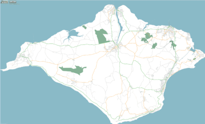
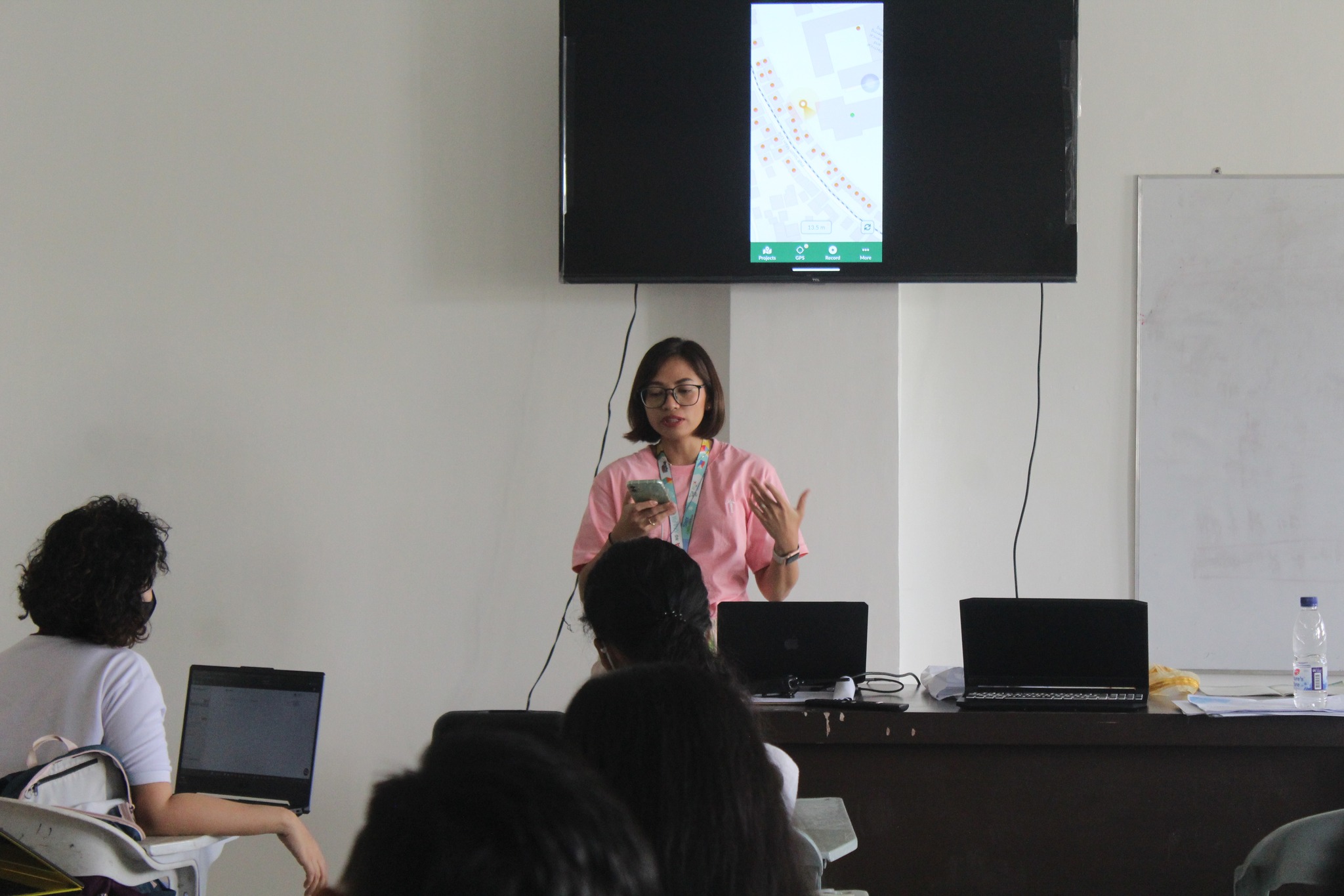
We empower users of freemap.sk to upload and view photos. Our photo gallery contains almost 300,000 photos, including more than 10,000 photos of hiking and cycling guideposts.
As a group, we continued to share the word about OpenStreetMap and UK mappers. This ranged from mapping waste and recycling centres during the CodeTheCity hack weekends, to Andy Mabbett presenting to the Data Management Association and the British Computing Society. The latter is an example of where having an official organisation provides a route for companies or groups to ask for assistance.
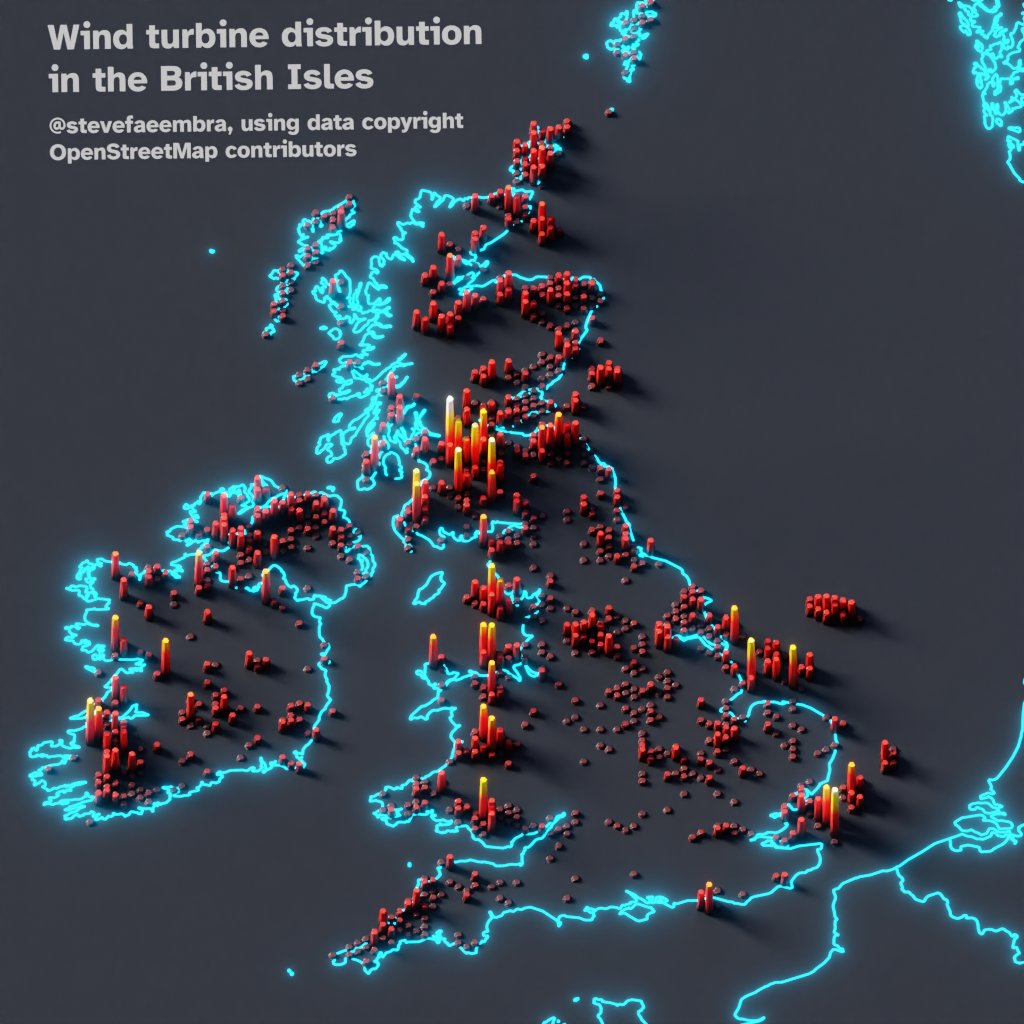
from @stevefaeembra on X (FKA Twitter): “Wind turbine density across the British Isles. Hexbinned into 10km hexes. Using data copyright OpenStreetMap contributors and #qgis. (Usual caveat for OSM, this only shows mapped turbines. Around 15,000 have been mapped)”
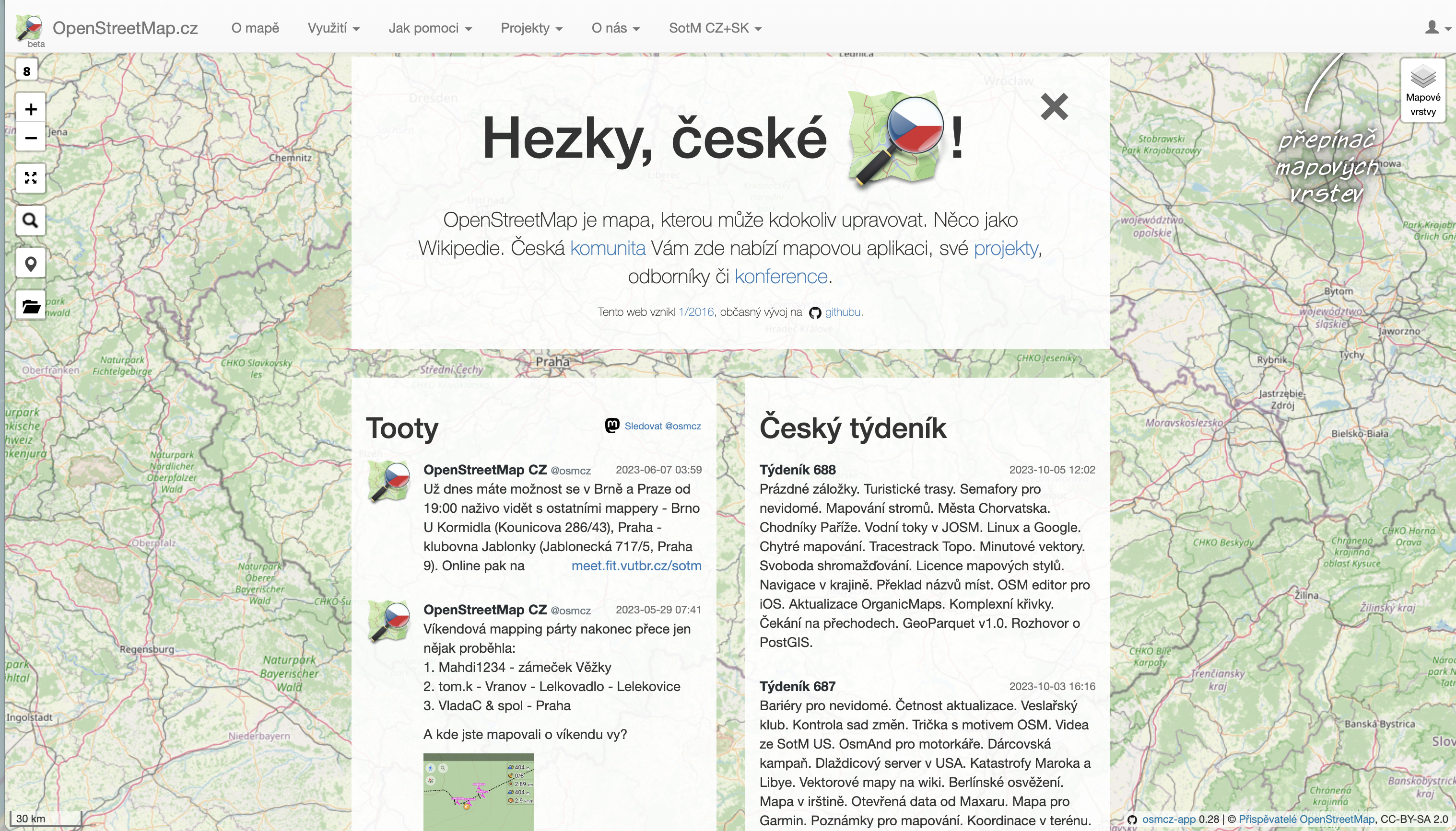
OSM Czech
Greeter tool – in 2021, we developed and published greeter-osm tool, that is used to send a welcome message to first time contributors in specific area. In 2021 we sent several hundred welcome messages and we have continued to do so since then. See github.com/osmcz/greeter-osm.
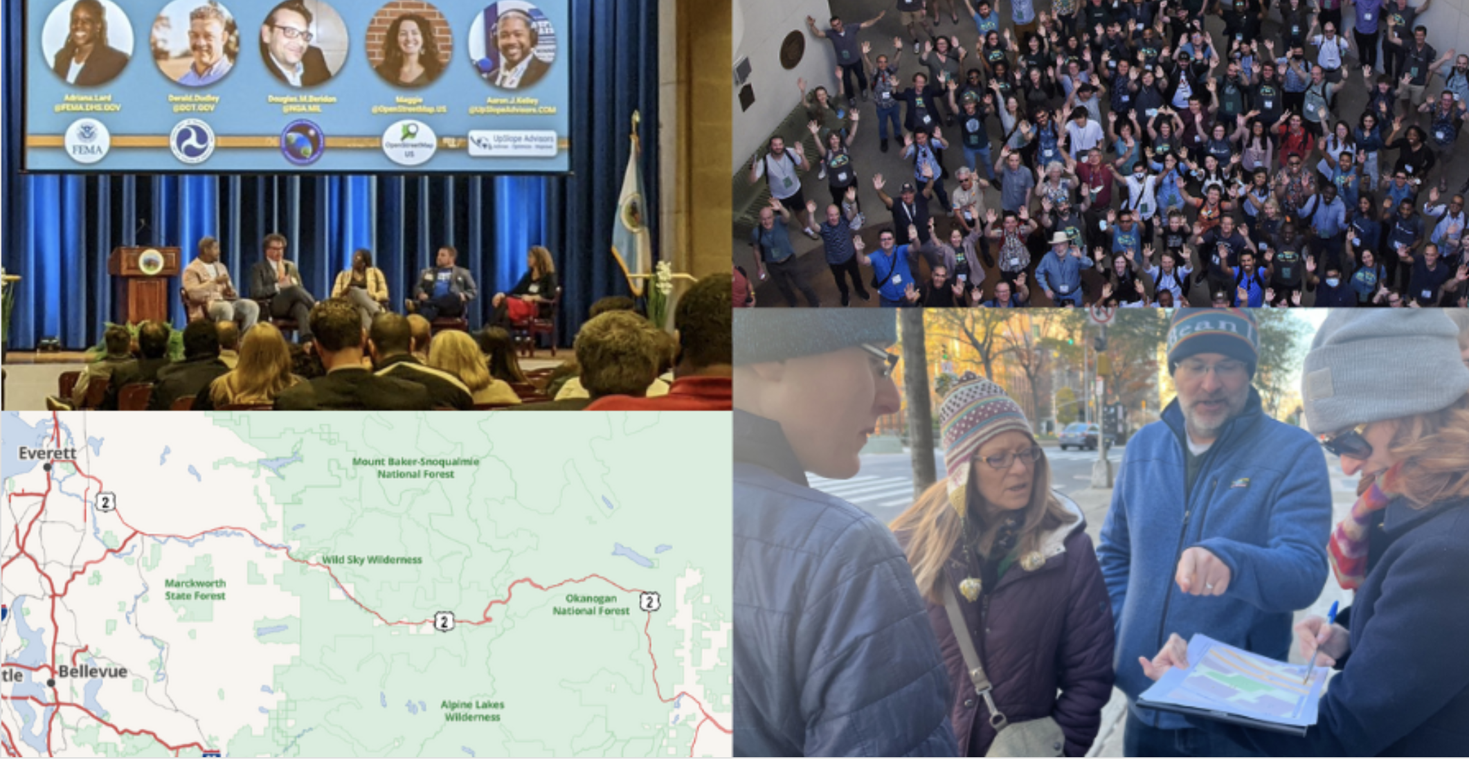
OSM US recently organized the 11th State of the Map US in June 2023 in Richmond, Virginia. Check out the videos in the Youtube playlist and photos in Flickr.
from https://openstreetmap.us/news/2023/01/2022-year-in-review
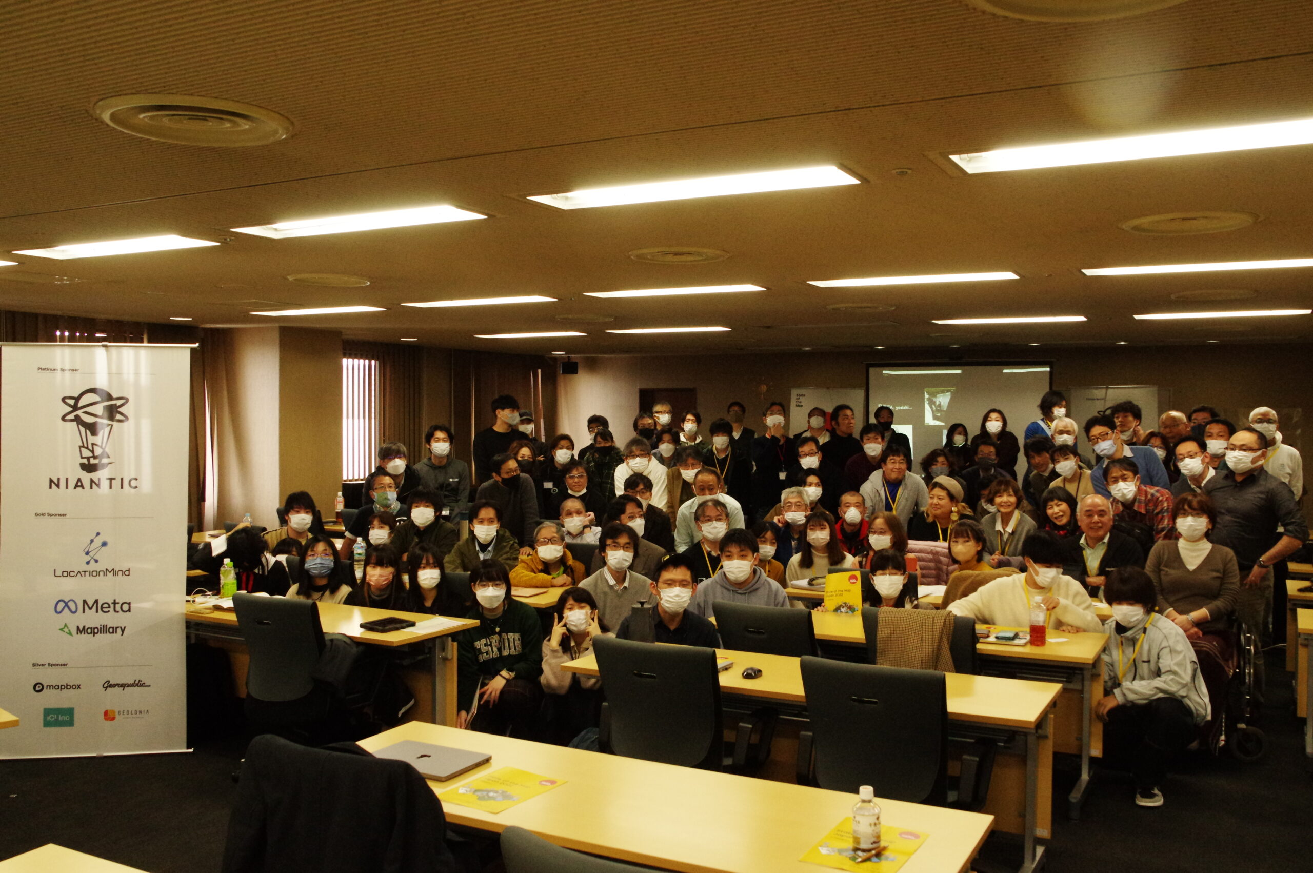
OSM Japan
OSM Japan hosted State of the Map Japan 2022 in Kakogawa and online with the theme: "Restart" following the COVID19 pandemic. It was organized by 12 volunteers and attended by 140 participants with 15 student scholars volunteers. Check out the videos.
The year 2021-2022 was the occasion for OSM France to be integrated into the plenary council of the CNIG (National Council for Geolocated Information). The activity of the CNIG is growing following the appointment of its new president last year. This entry of the association is excellent news. It recognises the work of the entire community in the service of the OSM project and it officially marks the importance of the project in the geographic information landscape.
OSGeo Oceania organized FOSS4G SotM Oceania 2022 with Pacific Islands GIS and Remote Sensing User Conference in Fiji in December 2022, you can view the presentation here. This year, the annual regional conference is happening in Aukland - find out more in the official conference website
FOSSGIS Conference 2023 happened in March 2023 in Berlin. Participated by about 500 participants, FOSSGIS Konferenz addresses local users and businesses to meet, learn about new development & collaborate on local chapter activities in their own language.
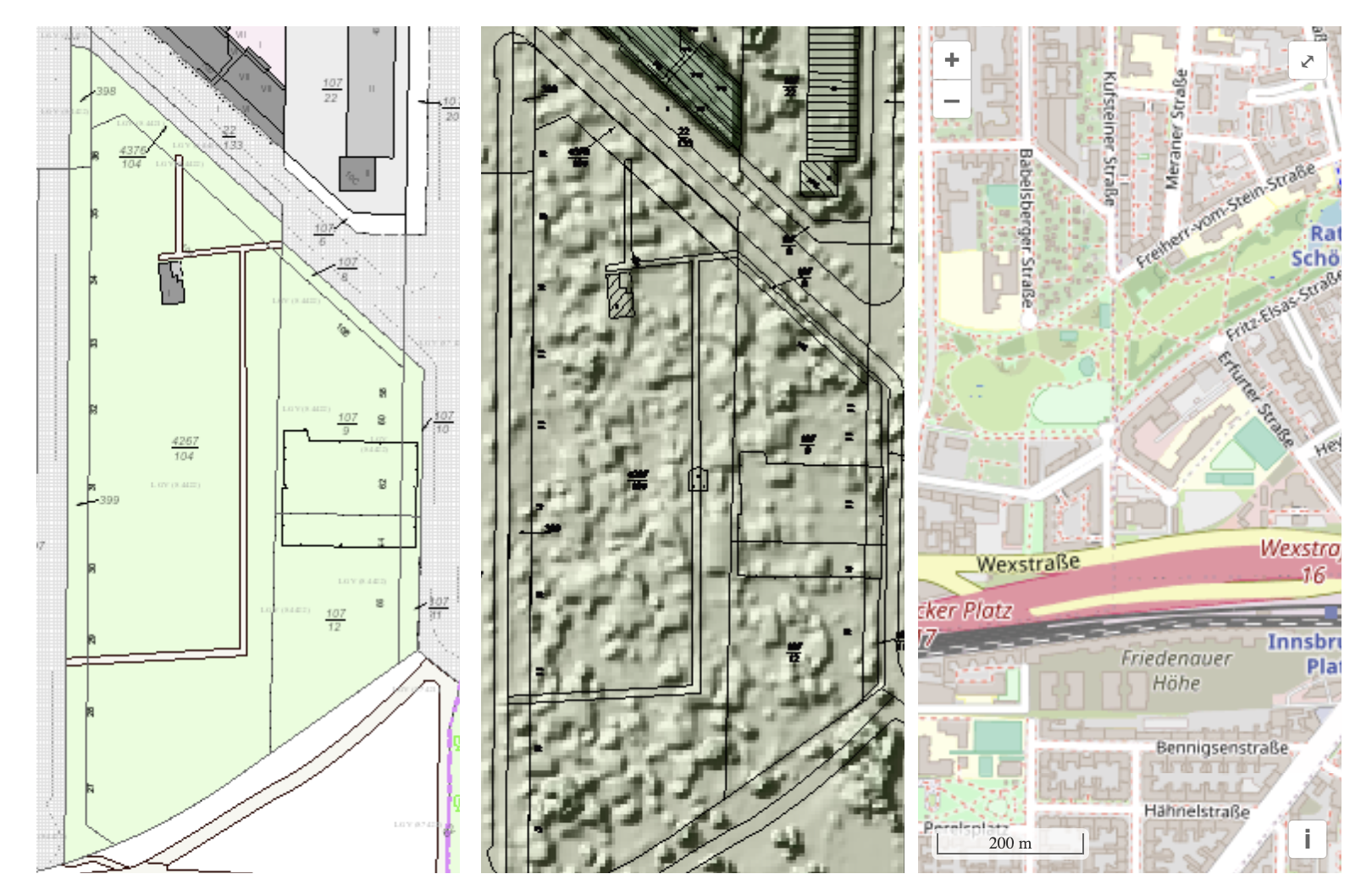
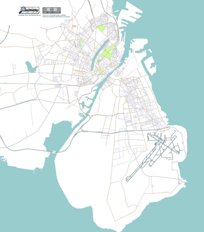
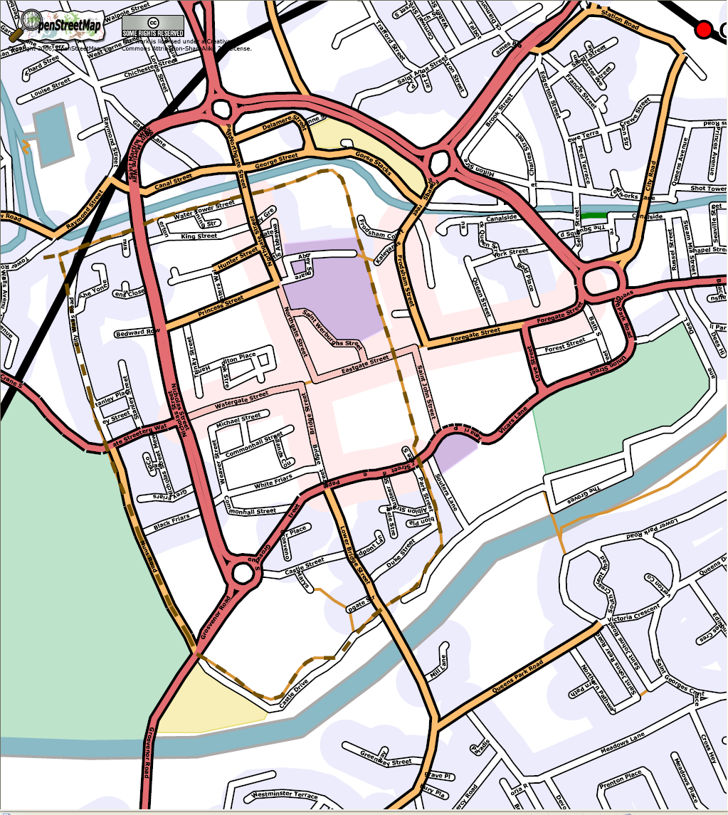
The following three map examples show part of the Berlin allotment garden colony “Am Stadtpark I” ALKIS as an example of official geodata (left), image-based digital surface model (bDOM) as an example of the information open remote sensing data (middle image), OpenStreetMap map (right). from https://www.fossgis.de/aktivit%c3%a4ten/grueneoasen/
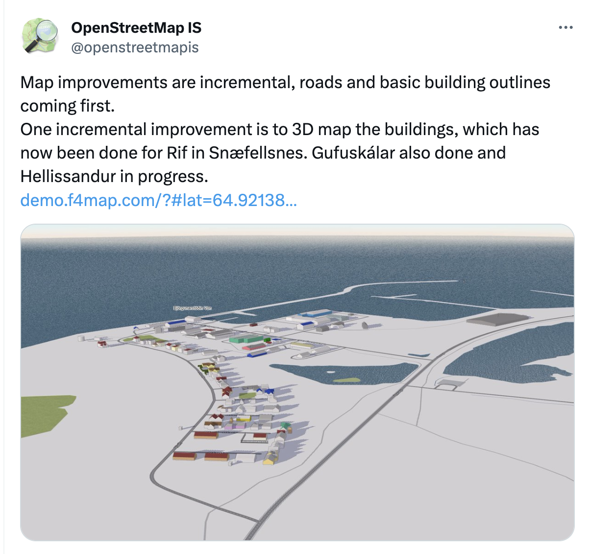
OSM Iceland
OSM Iceland has met with the National Land Survey of Iceland who has been tasked with creating a free and open road dataset. Until now the OSM road data has been the de facto road network used in work both by governmental and non-governmental organizations. A presentation made in 2020 for the OSMF board is available at the OSMF website.
In January 2023, Geomob podcast featured an active Swiss mapper, Simon, who happens to be the the current president of the Swiss OpenStreetMap association. Tune in to hear about his motivation for the project, and his perspective on the OpenStreetMap community and its future.
Note: OSM BE is currently not a recognized local chapter, due to internal changes in the organization. However, this report is reflective of a period when they were recognized.
OSM Belgium has been busy organizing State of the Map Europe 2023 that will happen in Antwerp. It hopes to bring together the brightest and most active members of the OpenStreetMap mapping and developing community for a detailed exchange of results and ideas that support the continued success of the various initiatives by strengthening the ongoing projects and collaboration. More information is on the website.
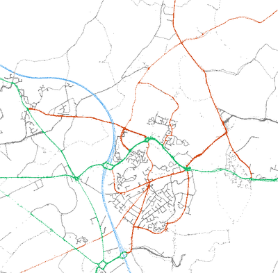
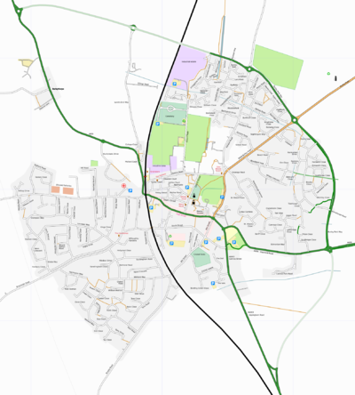
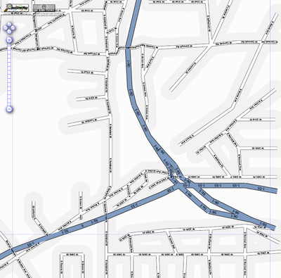
The evolution of mapping roads in Brussels. Green: slow roads. Grey: mapped roads. Black: roads being worked on that month. From https://openstreetmap.be/en/projects/road-completion.html
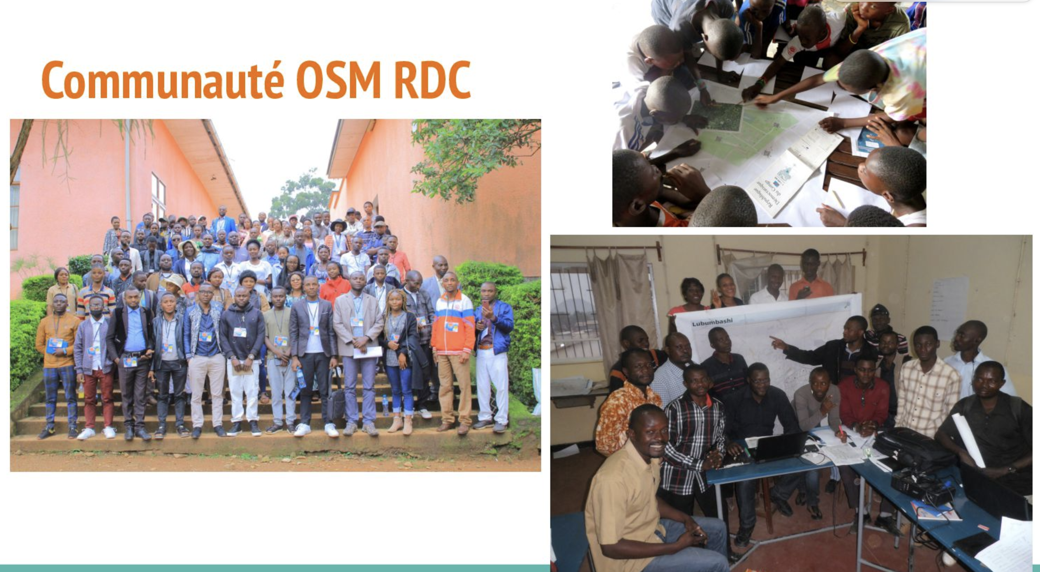
OSM Democratic Republic of Congo
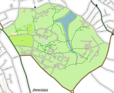
At the end of 2022, OSM DRC started crowdmapping projects of main waterways using a national open data reference to identify missing ones and manually digitize them. Two provinces (Lualaba and Haut-Katanga) out of 26 are being finalized now, but we want to achieve a national coverage. See this presentation during the OSMF Community Spotlight session in July 2023.
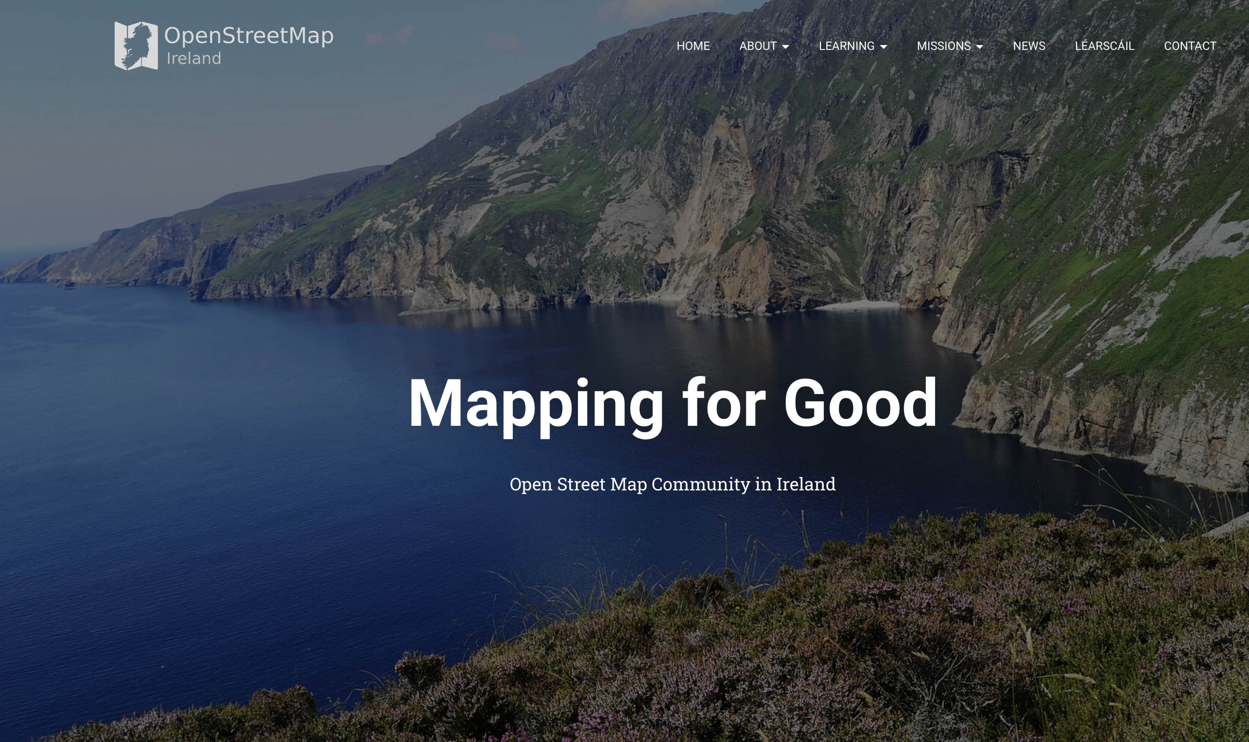
OSM Ireland Buildings Microgrant Project concluded in 2022 - with 200,000 buildings mapped with growth in the community as a result of frequent online community meetings and goodies. See the full report in the wiki.
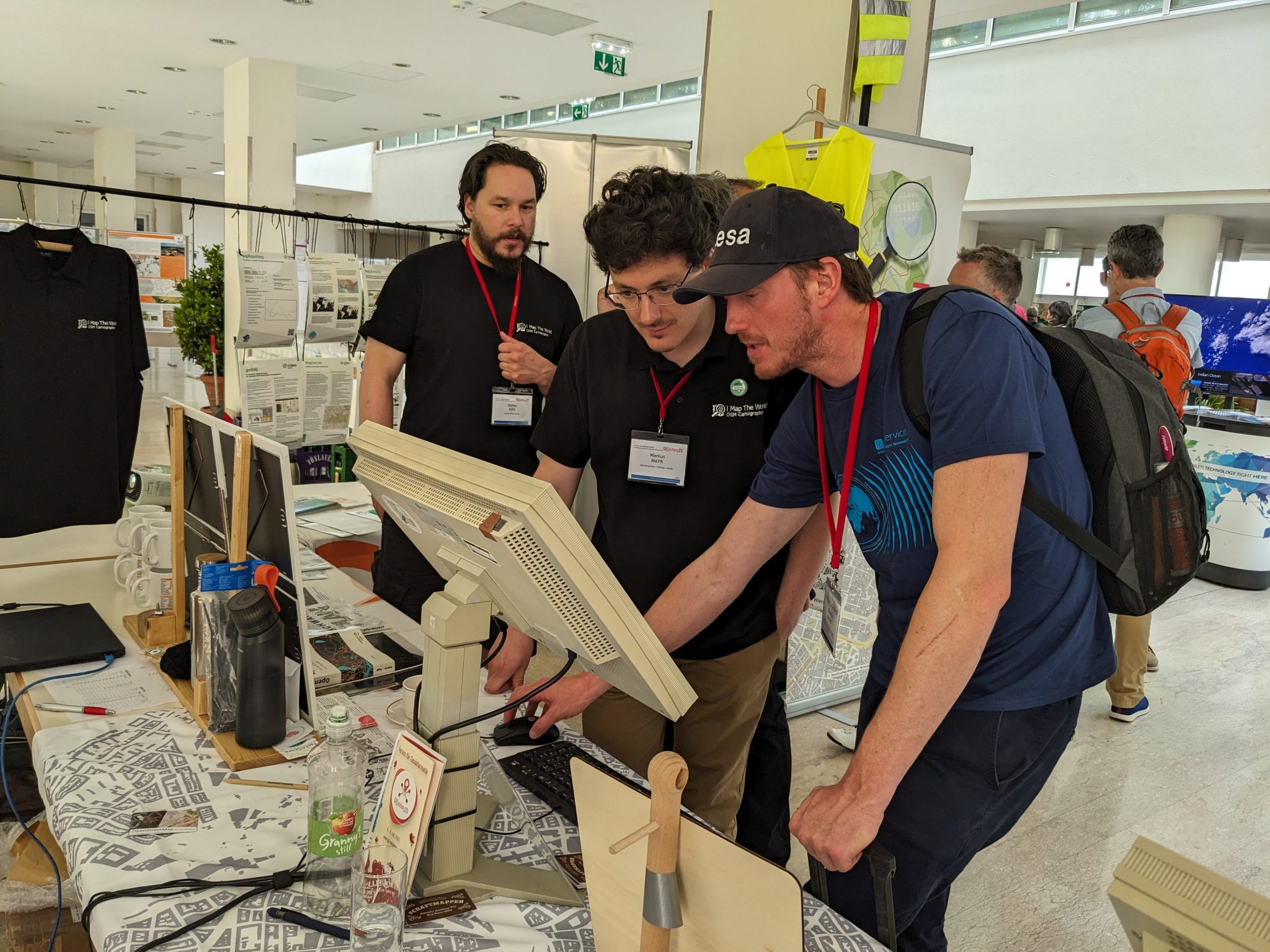
OSM Austria continues to spread the knowledge of OpenStreetMap in the country. They participated in Maker Faire Vienna 2023, the trade fair for global makers and inventors, and looking forward to participate in Maker Faire Salzburg in November this year.
from https://www.openstreetmap.at/2023/07/das-war-die-gi-salzburg-2023/
Free Libre Open Source Software Kosova
Fostering Community Engagement in Albania: OSM Kosovo played an integral role in establishing and organizing the OpenStreetMap Albania community. Their efforts were focused on fostering a vibrant mapping community, promoting the use of open-source mapping tools, and facilitating collaboration among various stakeholders.
OSM Poland has been developing the OpenAEDMap project, which has reached more than 5,600 locations of the AED devices - this is possible thanks to community activism and a campaign among local government entities.
If you and you’re community is interested in becoming a Local Chapter, please check the FAQs page or reach out to LCCWG via email local@osmfoundation.org.
The OpenStreetMap Foundation is a not-for-profit organisation, formed to support the OpenStreetMap Project. It is dedicated to encouraging the growth, development and distribution of free geospatial data for anyone to use and share. The OpenStreetMap Foundation owns and maintains the infrastructure of the OpenStreetMap project, is financially supported by membership fees and donations, and organises the annual, international State of the Map conference. Our volunteer Working Groups and small core staff work to support the OpenStreetMap project. Join the OpenStreetMap Foundation for just £15 a year or for free if you are an active OpenStreetMap contributor.
The OpenStreetMap Foundation (OSMF) has released new guidelines for companies and organizations who use OpenStreetMap (OSM) data in their products and services. The new guidelines clarify the rights and responsibilities between OSM and the entities who use and edit its data, as well as offer guidance on how they can support the map financially and in advisory capacities.
Highlights include:
Corporate members at the Bronze level and higher will now have a seat on the OSMF advisory committee
The fee for an annual membership has increased by 50% across the tiers
An OSMF-facilitated ‘consultation’ has been added as a benefit to the highest, “Platinum” tier
There is new guidance on what is the appropriate membership level.
A Tradition of Supporting OSM with Tools, Editing, Sponsorship, and Donations
Mikel Maron, a long time member of the OSMF Board, noted that opening up access to the advisory committee to corporate members at the Bronze level and higher is a direct result of the value that the committee provides to the community: “The ability to engage with organizations who use and improve OSM is a valuable source of insight in our planning and operations. We especially appreciate those who go above and beyond in their willingness to both consult and contribute financially. Many of these organizations have served as co-developers and friends to the project over the long term.” Maron also noted that changes to the guidance and pricing for OSMF corporate memberships is part of an overall commitment to improving OpenStreetMap’s financial management.
“The ability to engage with companies who use and improve OSM is a valuable source of insight in our planning and operations. We especially appreciate companies who go above and beyond in their willingness to both consult and contribute financially. Many of these organizations have served as co-developers and friends to the project for the long term.” –Mikel Maron, OSMF board member
The many companies who support OSM through a corporate membership include TomTom, who became its first Platinum member in 2023, and current Gold members Mapbox, Esri, Gojek, Grab, Graphhopper, Meta, and Microsoft. A warm welcome also goes out to the first OSMF corporate member to sign up under the new guidelines: StadiaMaps:
In the Preamble to the Plan, the board has noted that the size and scale of OSM necessitates a new approach, saying “The main focus of the OSMF must be to ensure that the infrastructure is available…[and for] OSM to remain a project that is driven by its volunteers, we need to be careful to not overstrain them. The OSMF can help through financial and operational support.
The current scale of the OSM project cannot be overstated. OSM volunteers have contributed eight billion data points to the map over the past two decades, and there are hundreds of millions of API calls each month. The use cases for OSM data include building smarter cities, reducing traffic congestion, solving supply chain issues, powering climate change research, and helping people grow food, find clean water, reach medical and other kinds of help, and build local businesses. OSM editors also help millions of people through hundreds of humanitarian use cases. Accenture has estimated that its data provides billions of euro of value to companies and governments.
The use cases for OSM data include building smarter cities, reducing traffic congestion, solving supply chain issues, powering climate change research, and helping people grow food, find clean water, reach medical and other kinds of help, and build local businesses. OSM mappers also help millions of people through hundreds of humanitarian use cases
The financial costs for a project of this global scale are comparatively small. The OSMF runs as an extremely lean nonprofit with just one full time employee, a part-time small staff, and an all-volunteer board. The need for more sys admins, project management, and resources to help local communities, as well as funds to cover infrastructure and cloud costs is significant.
The OpenStreetMap Foundation is a not-for-profit organisation, formed to support the OpenStreetMap Project. It is dedicated to encouraging the growth, development and distribution of free geospatial data for anyone to use and share. The OpenStreetMap Foundation owns and maintains the infrastructure of the OpenStreetMap project, is financially supported by membership fees and donations, and organises the annual, international State of the Map conference. Our volunteer Working Groups and small core staff work to support the OpenStreetMap project. Join the OpenStreetMap Foundation for just £15 a year or for free if you are an active OpenStreetMap contributor.
As part of our work over the past three months, the OSM Foundation Board has been revising the OSMF Strategic Plan. We are now sharing a rewritten version for feedback from OSMF members and the OSM community.
Previous rounds of feedback on earlier versions have been very helpful in shaping where we are now. You will see many changes in the document.
The plan starts with a preamble that gives a big picture overview of where we are now and where we need to go.
The plan retains the four clusters around which the OSMF Board organizes its work: technical infrastructure, community development, institutional development and financial governance.
Within these clusters, there is a set of goals and some mention of major actions. More importantly there is an indication of which part of OSMF is responsible for developing and seeing the actions through.
Overall the plan is more concise and, we think, more clear, providing a solid basis for understanding the OSMF’s work.
What’s next?
We will review feedback on an ongoing basis for the next three weeks, followed by a discussion at the Board’s September mid-month chat. We will then make additional revisions based on feedback, with the ambition to adopt the plan at the September Board meeting on September 21, 2023.
We look forward to hearing from you, and thanks to all who have participated in this process!
The OpenStreetMap Foundation is a not-for-profit organisation, formed to support the OpenStreetMap Project. It is dedicated to encouraging the growth, development and distribution of free geospatial data for anyone to use and share. The OpenStreetMap Foundation owns and maintains the infrastructure of the OpenStreetMap project, is financially supported by membership fees and donations, and organises the annual, international State of the Map conference. Our volunteer Working Groups and small core staff work to support the OpenStreetMap project. Join the OpenStreetMap Foundation for just £15 a year or for free if you are an active OpenStreetMap contributor. You can make a gift to support the work of OpenStreetMap at supporting.openstreetmap.org
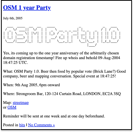
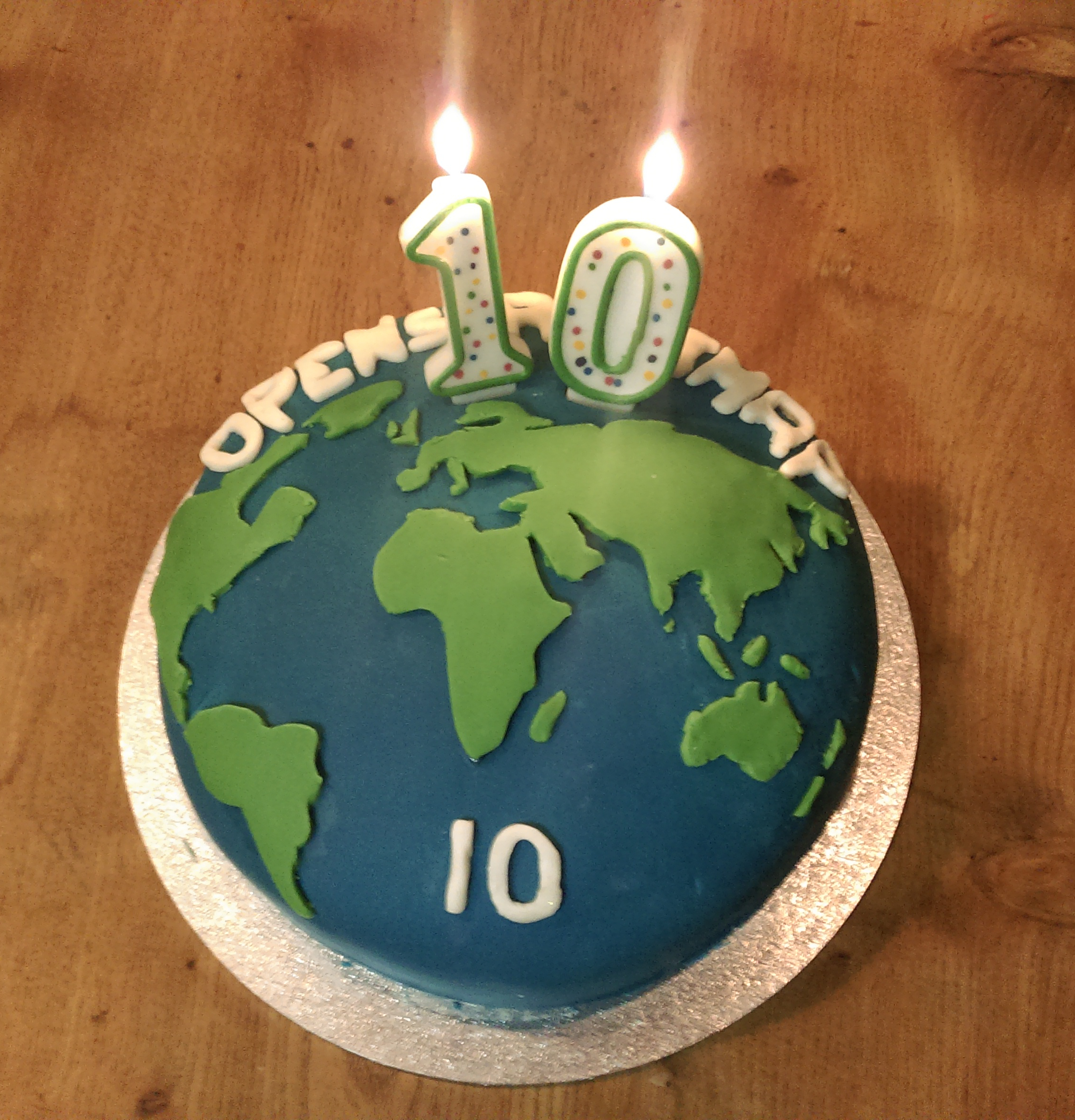
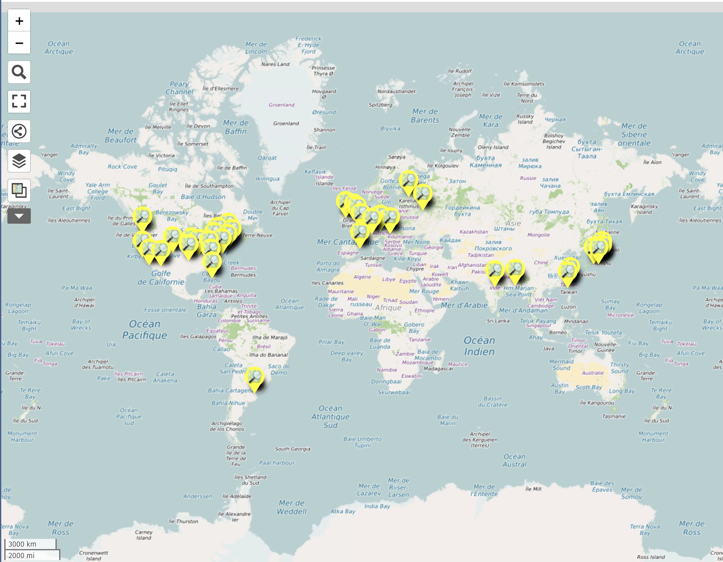
When OpenStreetMap turned ten in 2014, the number of celebrations had greatly increased from that first birthday event at the Strongroom Bar in London. In fact, it took a world map to visualize all of the parties.
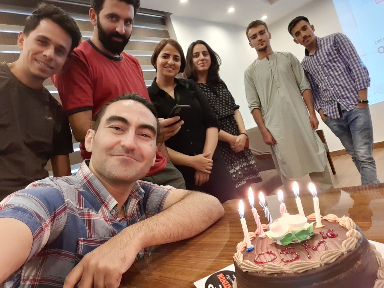
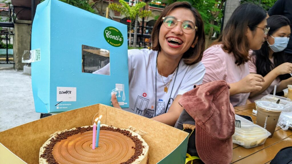
16th anniversary of OSM in Kabul, AfghanistanFeye Andal ( @dfeyeandal) shows off a cake, during a get-together in Manila that celebrated the 18th OpenStreetMap anniversary. Photo Credit: E. Olario
If you’re celebrating the 19th anniversary of OSM this week, be sure to share some photos. 🎂
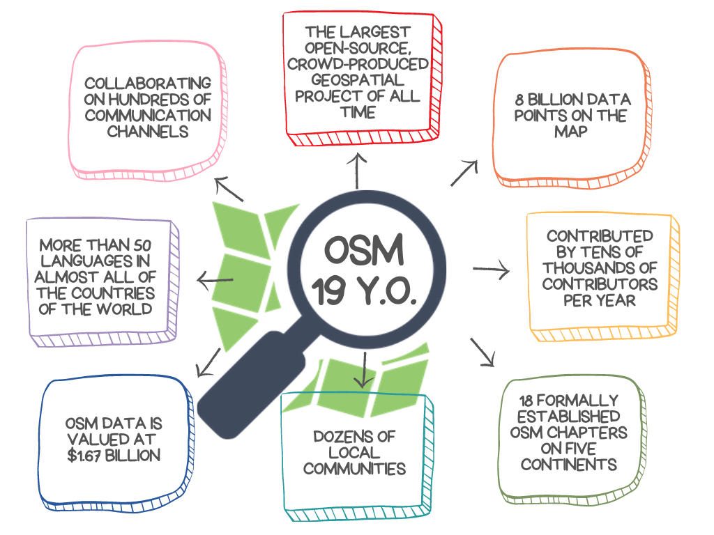
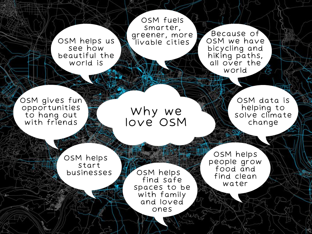
What Does OSM Look Like at 19?
OpenStreetMap is the largest open-source geospatial project of all time. There are 18 formally established OSM chapters and dozens more local communities, collaborating on hundreds of communication channels, in more than 50 languages, in most of the countries of the world. The map and its data is world-recognized as an essential source of geospatial ground truth. The API is used by millions of people, and the community is motivated, multi-talented, and culturally and geographically diverse. OSM even welcomed its first paid site stability engineer a year ago in recognition of the size and scope of the project.
image credit: Kate Varfolomeyeva, 2023
To get an even better sense of what OSM means to its community in 2023, we asked community members to tell us why they love OSM. Here are just a few of the many answers:
Image Credit: Kate Varfolomeyeva, 2023
So, you can see why this is an important moment for OpenStreetMap. In a year, the project will be twenty years old: its data is helping to solve some of the world’s most pressing challenges, there is new technology that makes it easier to map, and enthusiasm for mapmaking is as strong as it ever was.
To meet these challenges and opportunities, the OSM Foundation board is working on a strategic plan that can help support our ever-growing community of volunteers, by strategically funding skills such as project management, engineering, front-end development and offering bounties and sponsorship to help foster a diverse and inclusive map for everyone.
Which is why now is the time to share your time and money to help secure the future of OpenStreetMap.
The OpenStreetMap Foundation is a not-for-profit organisation, formed to support the OpenStreetMap Project. It is dedicated to encouraging the growth, development and distribution of free geospatial data for anyone to use and share. The OpenStreetMap Foundation owns and maintains the infrastructure of the OpenStreetMap project, is financially supported by membership fees and donations, and organises the annual, international State of the Map conference. Our volunteer Working Groups and small core staff work to support the OpenStreetMap project. Join the OpenStreetMap Foundation for just £15 a year or for free if you are an active OpenStreetMap contributor.
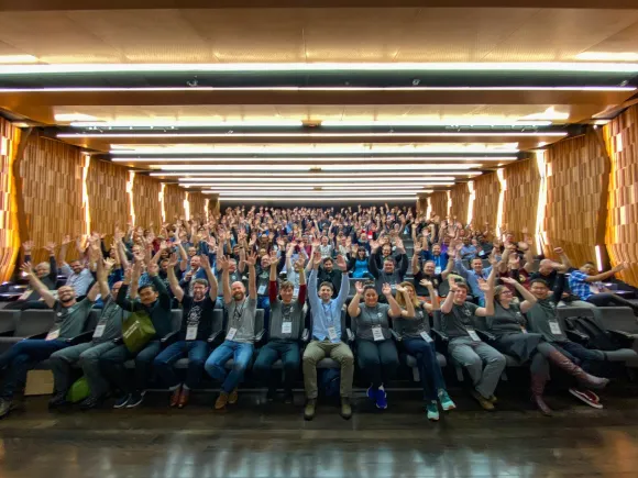
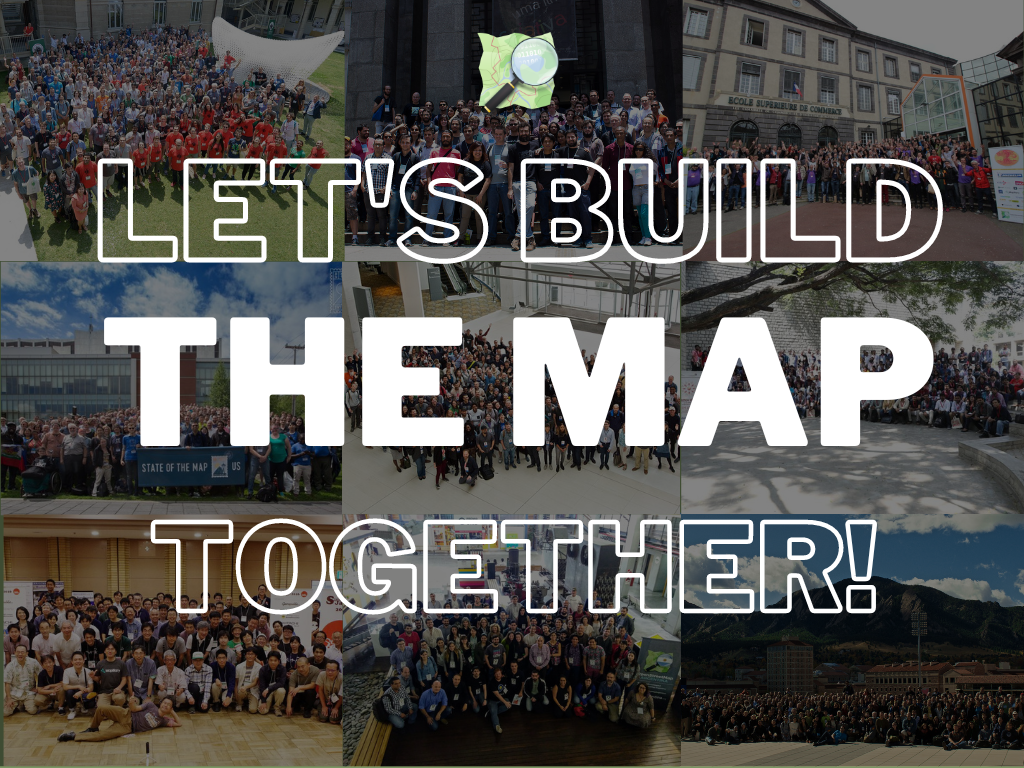
If you’ve been lucky enough to attend a State of the Map (SotM) conference, you already know that they offer some of the best GIS and geospatial knowledge, skills, and training available. That’s on top of being a terrific networking event with lots of fun and engaging social time. If you’re new to the OpenStreetMap community and haven’t yet attended a SotM, or you’re part of a company thinking of sponsoring a SotM, alongside sending a team to attend, this post is for you.
OSM’ers organize annual State of the Mapmeet-ups as a way to build community, share tools and research, and network with each other toward the shared goal of improving the map. They come in all sizes and are organized locally, regionally and globally, but the goal is always the same: to get together to talk about mapmaking research, tools, initiatives, and other community topics. Local and Regional SotMs are organized by local communities and the global SotM is organized by the OSM Foundation.
State of the Map conferences build bridges between OSM mappers and community activists, open-source developers, researchers from universities and academic institutions, designers, cartographers, as well as technology professionals from private companies and public institutions.
What Kinds of Topics are Discussed?
The range of topics is as diverse as the community. The types of presentations range from 5 minute “lightning talks” to 15-20 minute presentations to 75 minute workshops. They cover topics such as platform and tool development, data analysis, humanitarian mapping, and many others. Presenters are affiliated with local communities, Youthmappers, HOTOSM, maplibre, FOSS4G, academia, other nonprofits, and small and large companies.
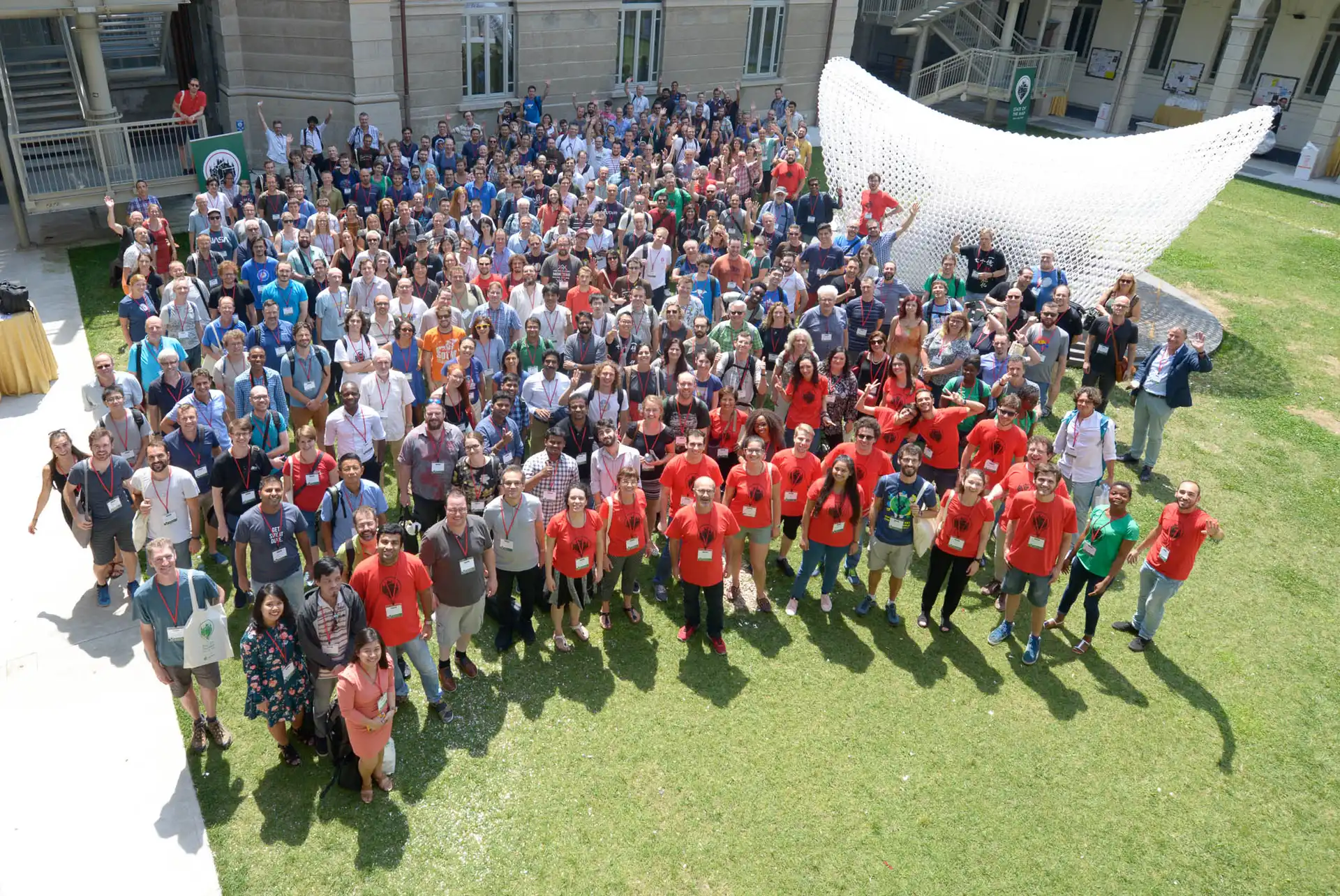
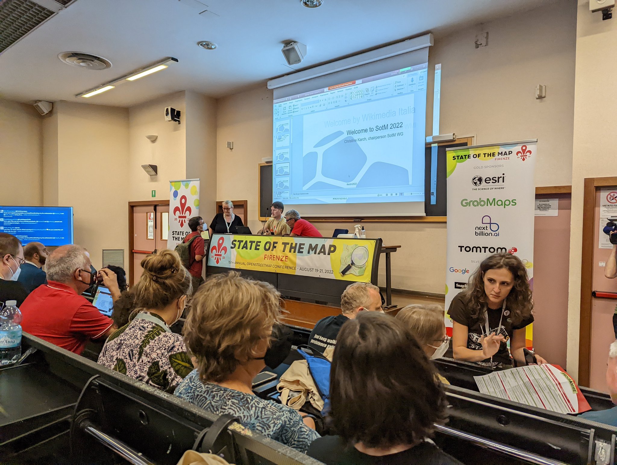
The 2022 global SotM in Firenze, Italy provides a good example of the range of information and skills that are represented at a SotM. Here are a just few of the session titles: “OSM Carto as Vector tiles; Innovating on Derivative OpenStreetMap Datasets”, Mapping a Small Town”, “maplibre-rs: Cross-platform Map Rendering using Rust”, “Ten Years iD Editor—The Road Ahead”, “Women Leadership in Mapping Riverside Communities in the Amazon Forest Using OSM.”
So, as you can see, a SotM offers inspiration and knowledge for anyone who is interested in the future of geospatial technology, OpenStreetmap and free and open source software and data.
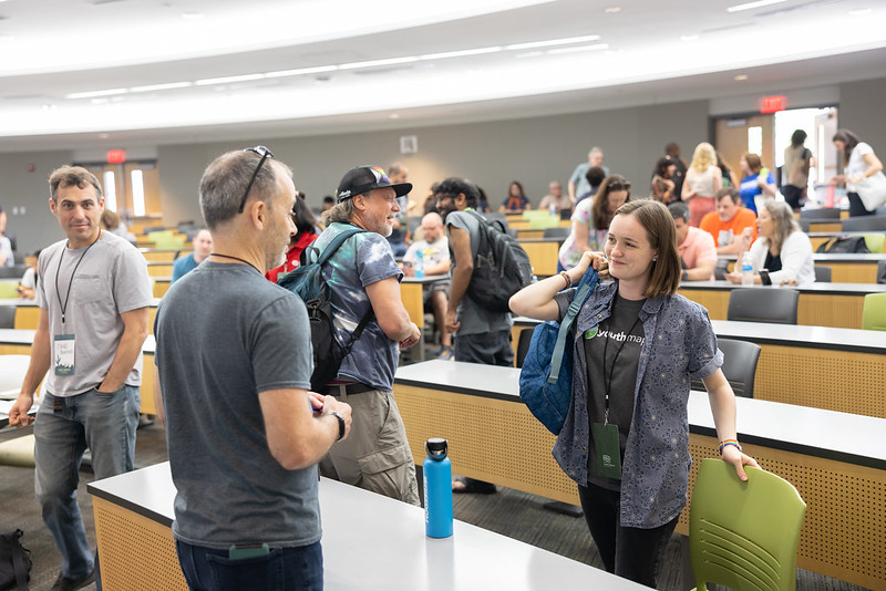
The OpenStreetMap community spends 365 days a year building the best map of the world together. State of the Map US is our opportunity to spend a few days, in person, building the best community. The event is unique in geo, as it draws such diversity of topics and attendees. Private industry, individual hobbyists, academia and government come together to network, innovate and learn from each other.
–Maggie Cawley, Executive Director, OSMUS
Why is it Important to Sponsor State of the Map Conferences?
There are so many good reasons!
The expertise shared at all SotMs contributes directly to the quality of OpenStreetMap.
It’s the right thing to do; companies that benefit from OSM should support the community as well as attribute the data. Donations to the project via the OSMF, sponsoring SotMs, becoming a corporate member, and sharing tools and data are all good ways to give back.
It’s an excellent recruiting opportunity. Where else can you find many of the best minds in GIS and geospatial all in one place?
It’s an excellent professional development opportunity. You’ll connect with other companies working within OSM, learn from other engineers and analysts, and be inspired by dozens of interesting new tools and projects.
It builds brand awareness through corporate social responsibility. It’s well known that customers are more loyal to companies that invest in creating a better world.
This conference amalgamates FOSS4G and SotM into one conference to focus Oceania’s open source geospatial efforts. The conference gives Oceania mapmakers a link to global communities of developers and users and is supported by OSGeo and the OpenStreetMap Foundation. Previous FOSS4G SotM Oceania conferences in Melbourne, Wellington and Suva were an overwhelming success:
Melbourne and Wellington were sold out with over 250 attendees at each conference
Attendees from over 14 countries from Oceania and further afield such as Canada, the UK, and the USA
Attendees included GIS professionals, developers, hobbyists, humanitarian workers, and government agencies
Call for presentations is open for FOSS4G SoTM Oceania 2023 Conference in Auckland, New Zealand in October! Find out more and enter your submission here: https://t.co/gpz8tGIH9Kpic.twitter.com/mxMbyUpz0t
— FOSS4G SotM Oceania 2024 (@FOSS4G_Oceania) May 9, 2023
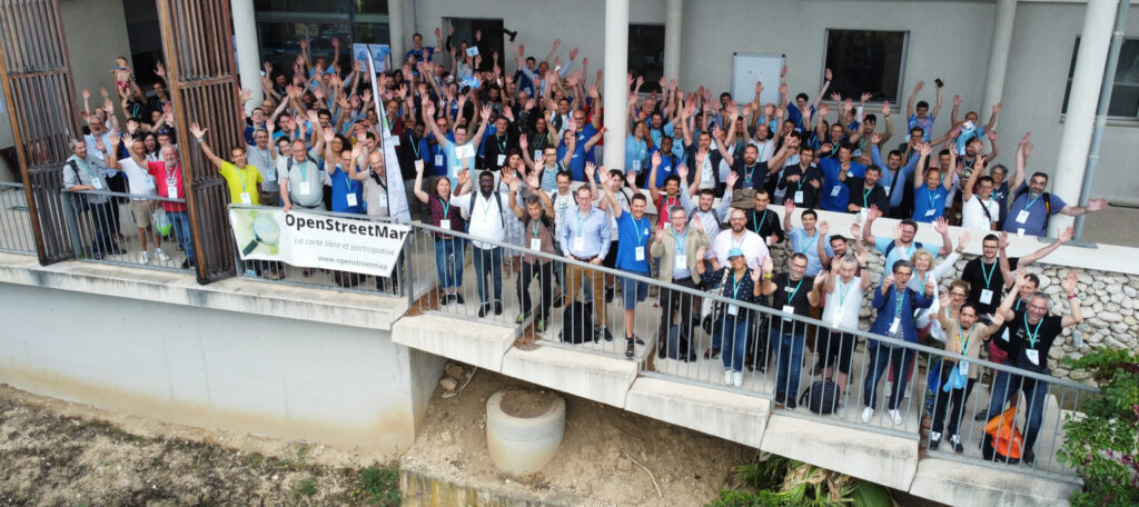
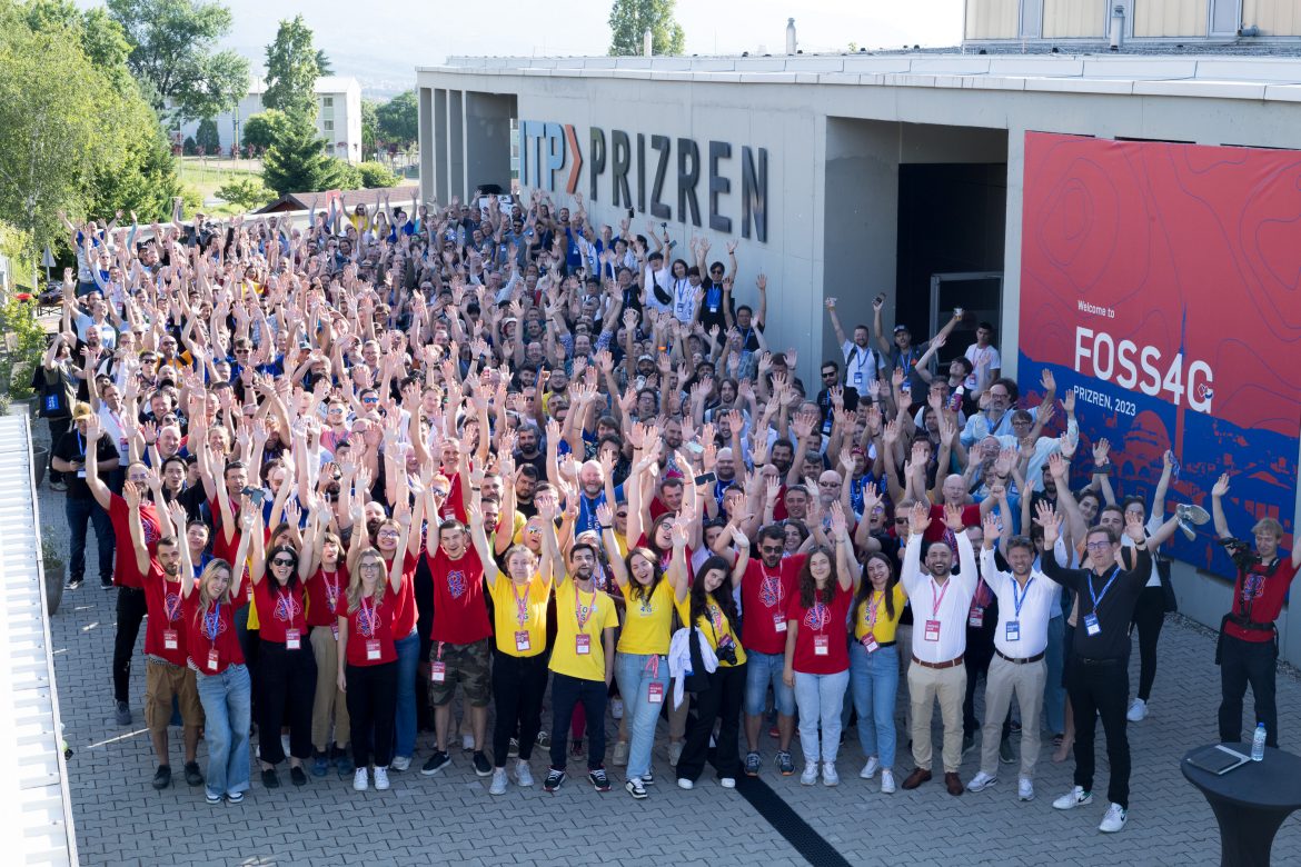
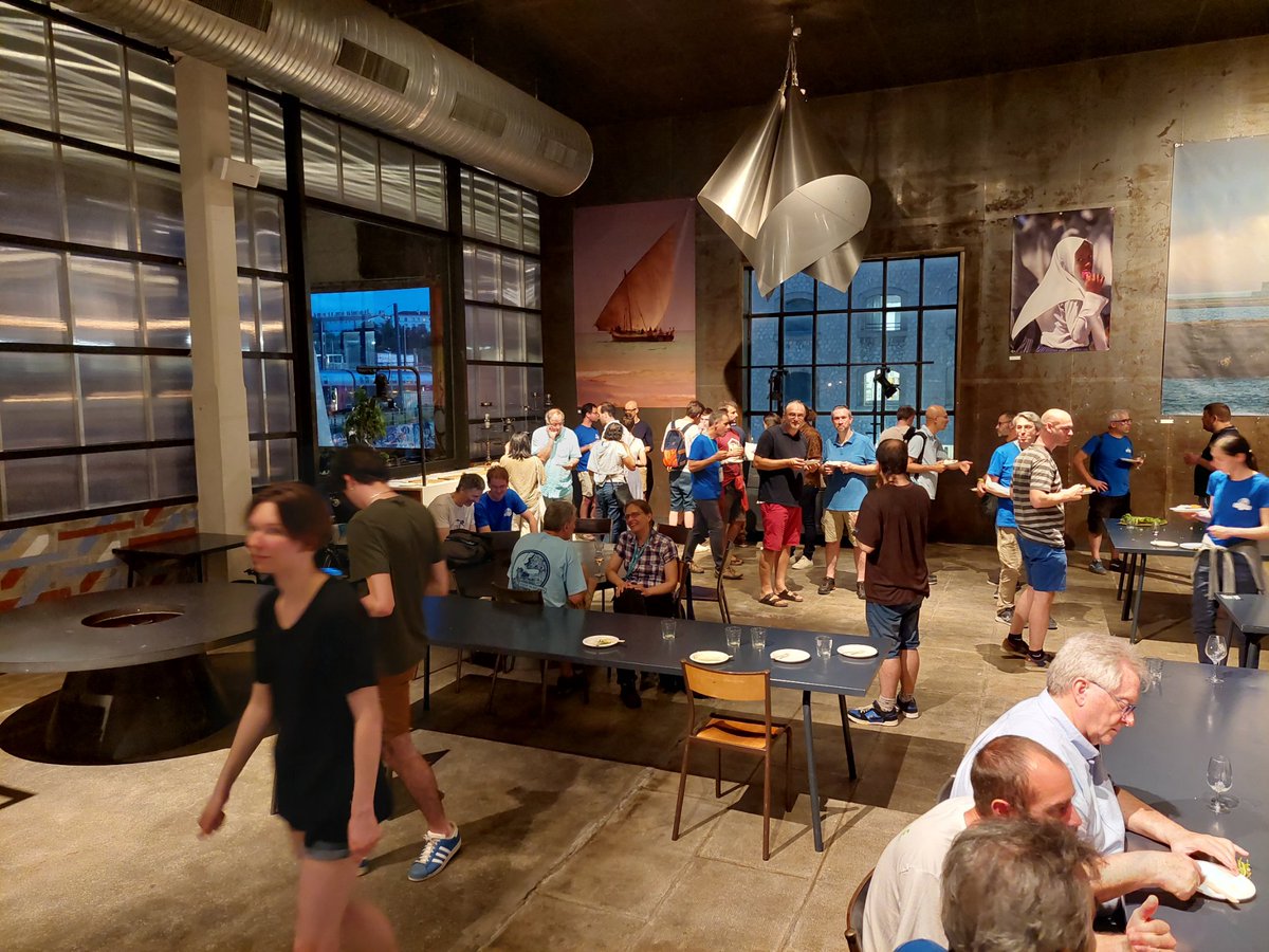
This conference offers an opportunity for a diverse group of individuals to meet and exchange knowledge, experiences and plans for developing use and improvement of OSM. Around 400 attendees from Europe and all over the world are expected to participate. The conference will be offered as a hybrid event, allowing additional participants to join via live- stream if they are unable to join in-person.
“State of the Map is the place where you’re the closest to actually feeling the heartbeat of the whole project. The international SotM can and should travel around the world! But there are way too many mappers and data users in Europe for there to be no big OpenStreetMap conference in Europe for two years.”
–Joost Schouppe, OSM Belgium, co-organizer of SotM EU 2023
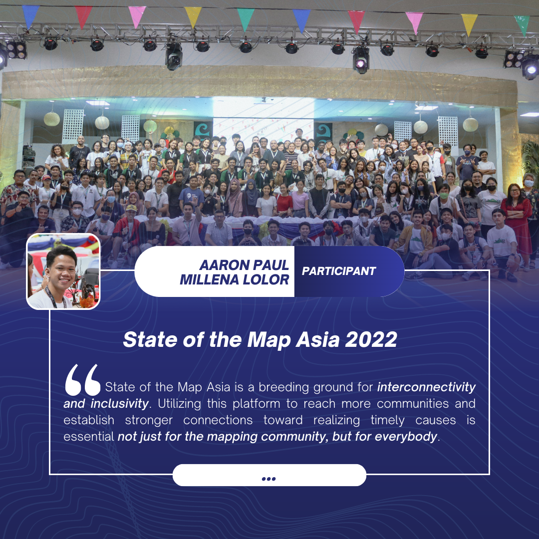
After a successful comeback last year in the Philippines, SotM Asia will be held in Bangkok, Thailand this year! We hope to serve and gather 300-500 participants from Asia and beyond to connect and discuss not only OpenStreetMap and open data tools, projects and challenges, but also showcase diverse Asian cultures.
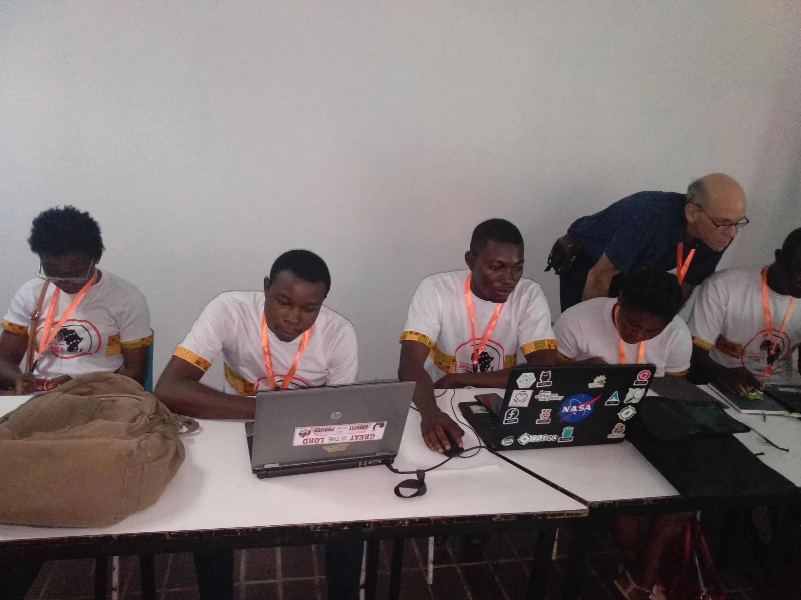
OSM Africa is a regional community of contributors, users and supporters of OpenStreetMap from countries within the African continent. This includes mappers, scientific researchers, humanitarians, NGOs, government agencies, small business and global companies having and/or supporting work within the continent. The network is aimed at growing and producing a complete and well detailed map of Africa on OpenStreetMap in order to advance the quality, completeness and sustainability of geospatial data in Africa.
Tell someone that we're coming and we're coming with full zing to be educated, to be enlightened, and to give back to the community we're coming to add our quota to the development of humanitarian works with passion. 🧰🗺️ https://t.co/09BFKLG9fU
The Engineering Working Group (EWG) would like to announce the deadline for the following project: Adding the ability to mute users on the openstreetmap.org website.
Project Deadline
The deadline for submitting a proposal will be March 13, 2023. After the submission deadline the EWG will resolve to award the bid within 2 weeks.
About the Project
Users who receive unwanted messages to their openstreetmap.org message inbox currently have to report the message writer and wait for an administrator to take action. This feature will make it possible for anyone to painlessly mute (ignore) private messages from another user.
For more details about the project, including how to apply and proposal requirements, please see the the Engineering Working Group Project Funding Repository on Github. Click on “Ability to mute other users” under the Projects section or visit this link for a list of deliverables.
Understanding the Project Funding Process
Before submitting a proposal make sure to also read the Engineering Working Group’s Project Funding Proposal Framework for a general overview of the process. Should you have any questions about the funding process please reach out to the Engineering Working group at engineering@osmfoundation.org.
About the Engineering Working Group
The Engineering Working Group is charged with, among other things, handling software development paid for by the OSMF, putting out calls for proposals on tasks of interests, offering a platform for coordination of software development efforts across the OSM ecosystem, and managing OSM’s participation in software mentorship programs.
The Engineering Working Group meets once every two weeks. Meetings are open to all and all are welcome. Questions? Please send an email to engineering@osmfoundation.org. We are a small group and are still welcoming new members!
The OpenStreetMap Foundation is a not-for-profit organisation, formed to support the OpenStreetMap Project. It is dedicated to encouraging the growth, development and distribution of free geospatial data for anyone to use and share. The OpenStreetMap Foundation owns and maintains the infrastructure of the OpenStreetMap project, is financially supported by membership fees and donations, and organises the annual, international State of the Map conference. Our volunteer Working Groups and small core staff work to support the OpenStreetMap project. Join the OpenStreetMap Foundation for just £15 a year or for free if you are an active OpenStreetMap contributor
The Engineering Working Group of the OpenStreetMap Foundation commissioned a study in the beginning of 2022 on how to improve the existing data model. Jochen Topf has delivered the results of this study, including recommendations on how to make the OpenStreetMap data model more computationally efficient and more accessible.
Two key suggestions have been made:
introducing an area datatype for representing polygons
getting rid of untagged nodes
Community Consultation
In order to decide the next steps in this process we want to have more discussions with the community of developers as the proposed changes impact OpenStreetMap software which directly or indirectly depends on the data model.
Some mappers may be surprised to hear that OSM does not already have an Area data type. After all, the iD editor prominently features buttons for drawing points, lines and areas. Once mapped, these areas usually appear on the map as expected. The OSM wiki documents whether a tag is typically used on areas, and even Overpass Turbo lets you use areas in your query.
Behind the scenes, however, these areas are represented as ways or relations. Each tool working with OSM data uses its own set of rules to guess whether a particular way represents a line or an area. Making areas a proper part of the OSM data model would lead to a consistent interpretation across applications, enable the API to prevent broken areas from being uploaded, and may eventually lead to support for partial downloads of very large areas.
Keeping OSM Processing Accessible
Currently, ways are made up of references to nodes, and we rely on these references to determine how ways connect to each other. Resolving the coordinates to these node references is a costly process within the OpenStreetMap toolchain as it takes hours to days, even on capable hardware.
In the future, we might model ways as a simple list of coordinates – depending on the exact implementation we end up with. This would offer large performance benefits, but getting rid of untagged nodes would be a significant change.
At first glance, performance improvements may not seem particularly exciting. But how easy it is to work with our data directly impacts how useful OpenStreetMap is to the world at large. As Jochen observes: “The goal is to keep OSM as that great resource that can be used not only by multi-billion-dollar companies but by the student who wants to create a map of the world on their notebook or the activist with their donated second-hand computer.”
Better OSM History
Many mappers are disappointed when they realise how few things the history tab of the website can actually show. There are many tools, like OSMCha and Achavi, that offer much more, but still require a certain degree of proficiency to use them.
You might ask why, and the answer is very technical – the location of a single version of a way is, in many cases, not defined. It is the reason that change tracking remained an expert discipline with relatively newbie-unfriendly tools. By changing the data model we will move away from that barrier, and subsequently we can expect substantially better tools, but not before we get proper coordinates and versions for ways.
Minutely Vector Tiles Generation
While there are quite a number of matured vector tile generators nowadays, a couple of problems are still open.
One is which features shall go into the vector tiles for openstreetmap.org
The other is how to reconcile minutely updates with vector tiles for performance at an acceptable level.
That task gets an order of magnitude easier if you can not only truly parallelise the generation of tiles, but also elide the first expensive step to figure out to which tile a changed way belongs.
We might be able to find someone who encapsulates the raw computing power necessary to do this. But even if so, this is a highly nondesirable degree of dependence on that partner.
So yes, vector tiles for openstreetmap.org are in principle possible without this data model change, but at a so much higher cost that only specialized hardware will be able to keep up with minutely changes.
Have Your Say about the Future
Some kind of change is inevitable. The growth of the OSM database is outpacing speed improvements in hardware, and the ID-based model means that the whole process cannot be parallelized with full speedup. Keeping up with changes was easily possible in the past, but needs needs more and more tricks now. There is a point in the future where also specialized hardware will suffice to keep up with minutely changes.
However, there are many possible approaches to meeting this challenge. Now is the opportunity for the developer community to share your opinion about the way forward.
The OpenStreetMap Foundation is a not-for-profit organisation, formed to support the OpenStreetMap Project. It is dedicated to encouraging the growth, development and distribution of free geospatial data for anyone to use and share. The OpenStreetMap Foundation owns and maintains the infrastructure of the OpenStreetMap project, is financially supported by membership fees and donations, and organises the annual, international State of the Map conference. Our volunteer Working Groups and small core staff work to support the OpenStreetMap project. Join the OpenStreetMap Foundation for just £15 a year or for free if you are an active OpenStreetMap contributor.
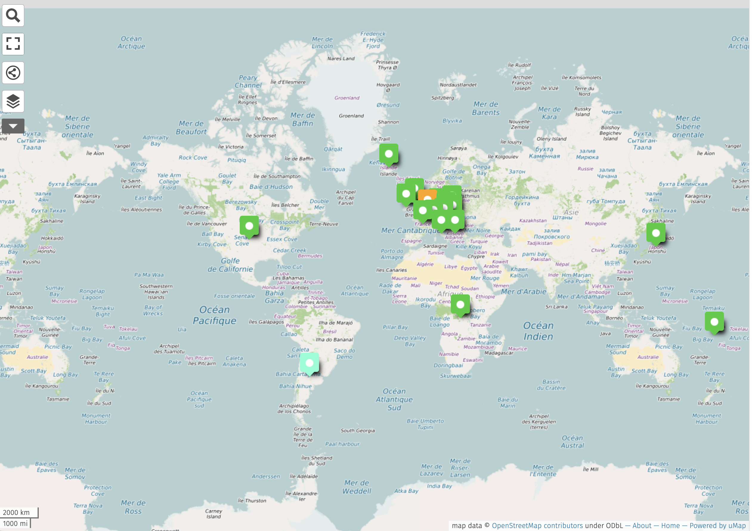
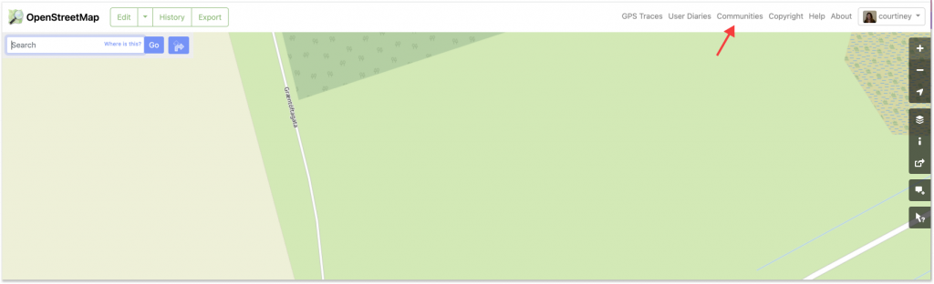
There’s a new way to find and connect with OSM communities.
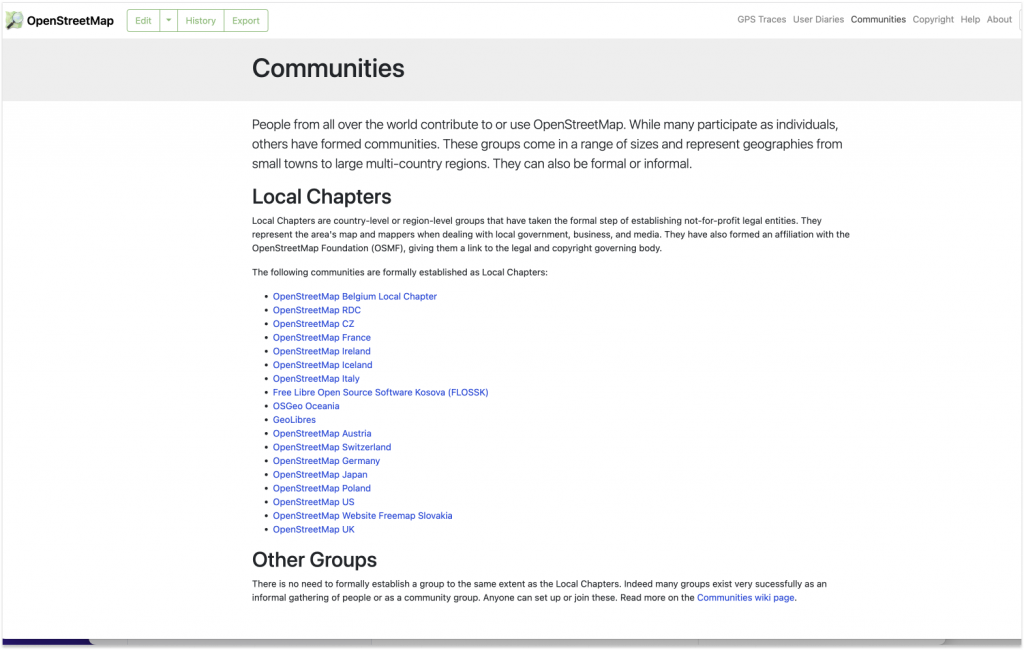
In the upper right corner of OSM.org, you can now see a “Communities” tab that links to a single, centralized location that lists formal Local Chapters, as well as the other OSM communities. Given how many communities there are and how fast OSM is growing, it’s a good time to add a prominent way to connect.
According to LCCWG member Joost Schouppe, the new tab “is probably the most visible change on osm.org since the addition of Notes.”
Once you have navigated to the new “Communities” page, you’ll see that the data for the Local Chapters listings is dynamically delivered via the OSM Community Index (OCI). In fact, the most difficult aspect of the project was figuring out how to integrate the OCI data into the page rather than just adding a simple list of Local Chapters as static content. As website maintainer Andy Allan noted, “The latter would have been quick and easy, but using the OCI means it is automatically updated when new Chapters are added, and it also means we are reusing all the translations for the Chapter names from the 46 different languages that we already support.”
While there is not currently a way to dynamically capture all of the other, less formalized communities, the addition of the “Other Groups” section highlights their existence and points the way to more information.
“It’s just a start” says LCCWG member Adam Hoyle, who also worked on the project. “Ideally this can grow into an even better centralized page for people and communities to find each other.“
Showing a list of Local Chapters is only scratching the surface of what can be done, now that the various underlying technical challenges have been solved. For example, when new mappers set their home location on their profile, they could be shown a list of local forums, mapping groups, and communication channels customised to their location could immediately be shown on their personal dashboard.
The key to shipping additional improvements to the “Communities” page is having volunteers to help out. ”All this community information is in OCI already, so we now need people to help expand our integration,“ says Allan. Schouppe adds that “this particular issue has been on the LCCWG agenda since October 2020, and Adam started working on it in January 2021. It goes to show that, because we are all volunteers, it takes a lot of time and effort to evolve the osm.org website, but it can be done.”
→ To contribute to the development of OSM.org, please visit the main Github and/or this issue, which highlights the many existing pull requests and gives ideas for how to contribute.
→ To help the LCCWG with their efforts to help local communities grow, please join one of their channels.
I’d like to thank Adam Hoyle for his work and patience while we worked through getting the technical foundations in place, which took a while but sets us up for the future; and also to the team behind OCI who made some changes to their side of things to help us get the translations fully working more easily. –-Andy Allan
The OpenStreetMap Foundation is a not-for-profit organisation, formed to support the OpenStreetMap Project. It is dedicated to encouraging the growth, development and distribution of free geospatial data for anyone to use and share. The OpenStreetMap Foundation owns and maintains the infrastructure of the OpenStreetMap project, is financially supported by membership fees and donations, and organises the annual, international State of the Map conference. Our volunteer Working Groups and small core staff work to support the OpenStreetMap project. Join the OpenStreetMap Foundation for just £15 a year or for free if you are an active OpenStreetMap contributor.