We would like to congratulate OpenStreetMap Belgium on becoming an OpenStreetMap Local Chapter (again)!
The past year was a rebuilding year for OSM.be. Regaining Local Chapter status was the cherry on top. The official status confers a seriousness and professionalism when working with outside organizations, and fosters leadership opportunities for OSM.be members when it comes to OSM Foundation policy making.
In a statement for this blog post, the OpenStreetMap Belgium Board noted that:
We had a tough 2023 when we had to reinvent ourselves as a separate organization. The good thing about that is that we’re now a much less complex organization. Furthermore, our bylaws now have legal standing, and we were able to set rules that better fit OSM-style leadership.
OSM.be’s goals for 2024 include promoting important mapping tasks and supporting member projects. They will also continue their camera grant project and keep working with Mapillary to distribute more 360° cameras across Europe. Another exciting project is to set up a Panoramax instance for Belgium. This project is in the relationship building stage as they seek to partner with governments and universities on servers.
Background
OpenStreetMap Belgium first became a Local Chapter on May 24th 2018. At that time, OSM Belgium was operating under Open Knowledge Foundation Belgium (OKFN). The Local Chapter agreement was terminated in September 2023 after OSM Belgium had resigned from OKFN Belgium. In November 2023, OSM Belgium re-applied for Local Chapter status as an independent organisation. The OpenStreetMap Foundation Board approved the application on January 25th 2024.
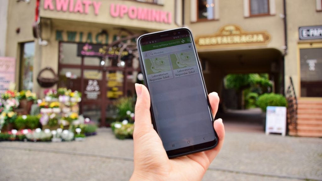
from https://openstreetmap.be/
Thank you to the OpenStreetMap Belgium community for spreading the good word about OSM, and educating people about the power of open data, local knowledge and community!
The OpenStreetMap Foundation is a not-for-profit organisation, formed to support the OpenStreetMap Project. It is dedicated to encouraging the growth, development and distribution of free geospatial data for anyone to use and share. The OpenStreetMap Foundation owns and maintains the infrastructure of the OpenStreetMap project, is financially supported by membership fees and donations, and organises the annual, international State of the Map conference. Our volunteer Working Groups and small core staff work to support the OpenStreetMap project. Join the OpenStreetMap Foundation for just £15 a year or for free if you are an active OpenStreetMap contributor.
Our contributors and communities are the main drivers of the OpenStreetMap project. As a means of supporting and nurturing local communities, the OSM Foundation recognizes country-level or region-level legal entities, called “Local Chapters,” to represent mappers and OSM data when dealing with local government, business, and media.
While you don’t have to become a formally recognized Local Chapter to operate as a national or regional OSM user group, there are benefits to joining. These include a streamlined approach to the use of the OpenStreetMap trademark and a mechanism for representing your groups in any OSMF decision making process.
Note that the OSMF has recently improved the process. One major change is that the Local Chapters and Communities Working Group (LCCWG) will process and review applications before making a recommendation to the OSMF Board.
Why join as a Local Chapter?
The OSMF highly values OSM’s many diverse communities and their contributions to the map. They serve as ambassadors in their national / regional areas by promoting map generation and improvements, as well as creating and developing uses for OSM data and tools that fit their needs.
By becoming a formally recognized community, Local Chapters have the power to:
Officially use the name and trademark of OSM
Represent the OSMF in interactions with governments and companies
Have a seat in the OSMF Advisory Board (to ensure that local community ideas and opinions are heard)
The OSMF Board asks Local Chapters to share Annual Reports to make sure we are aligned in our pursuit of our shared goals. It’s also an opportunity to share each chapter’s amazing work with other OSM and mapping communities. Recent and past reports can be found here.
Below are some highlights from this year’s Annual Reports:
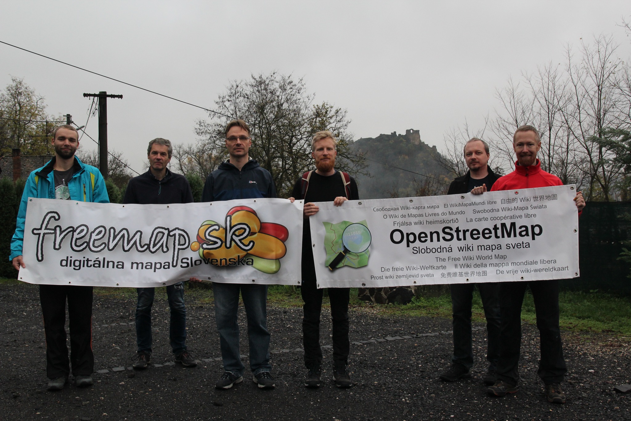
We empower users of freemap.sk to upload and view photos. Our photo gallery contains almost 300,000 photos, including more than 10,000 photos of hiking and cycling guideposts.
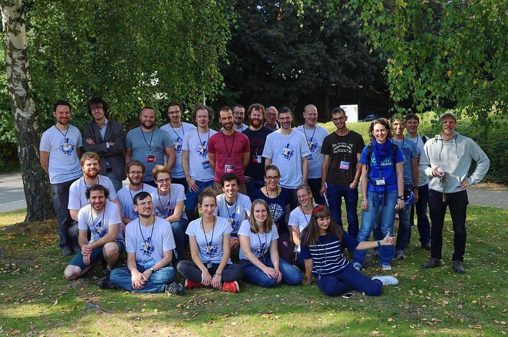
As a group, we continued to share the word about OpenStreetMap and UK mappers. This ranged from mapping waste and recycling centres during the CodeTheCity hack weekends, to Andy Mabbett presenting to the Data Management Association and the British Computing Society. The latter is an example of where having an official organisation provides a route for companies or groups to ask for assistance.
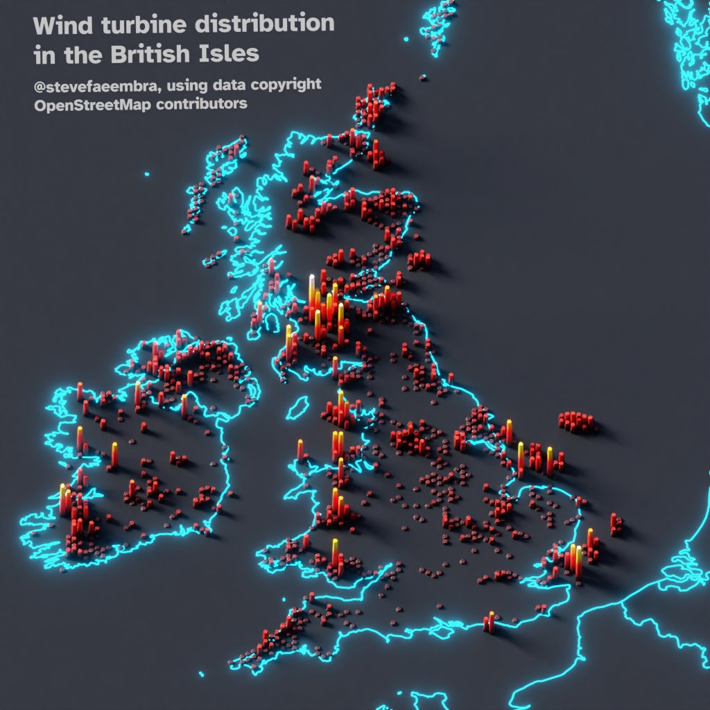
from @stevefaeembra on X (FKA Twitter): “Wind turbine density across the British Isles. Hexbinned into 10km hexes. Using data copyright OpenStreetMap contributors and #qgis. (Usual caveat for OSM, this only shows mapped turbines. Around 15,000 have been mapped)”
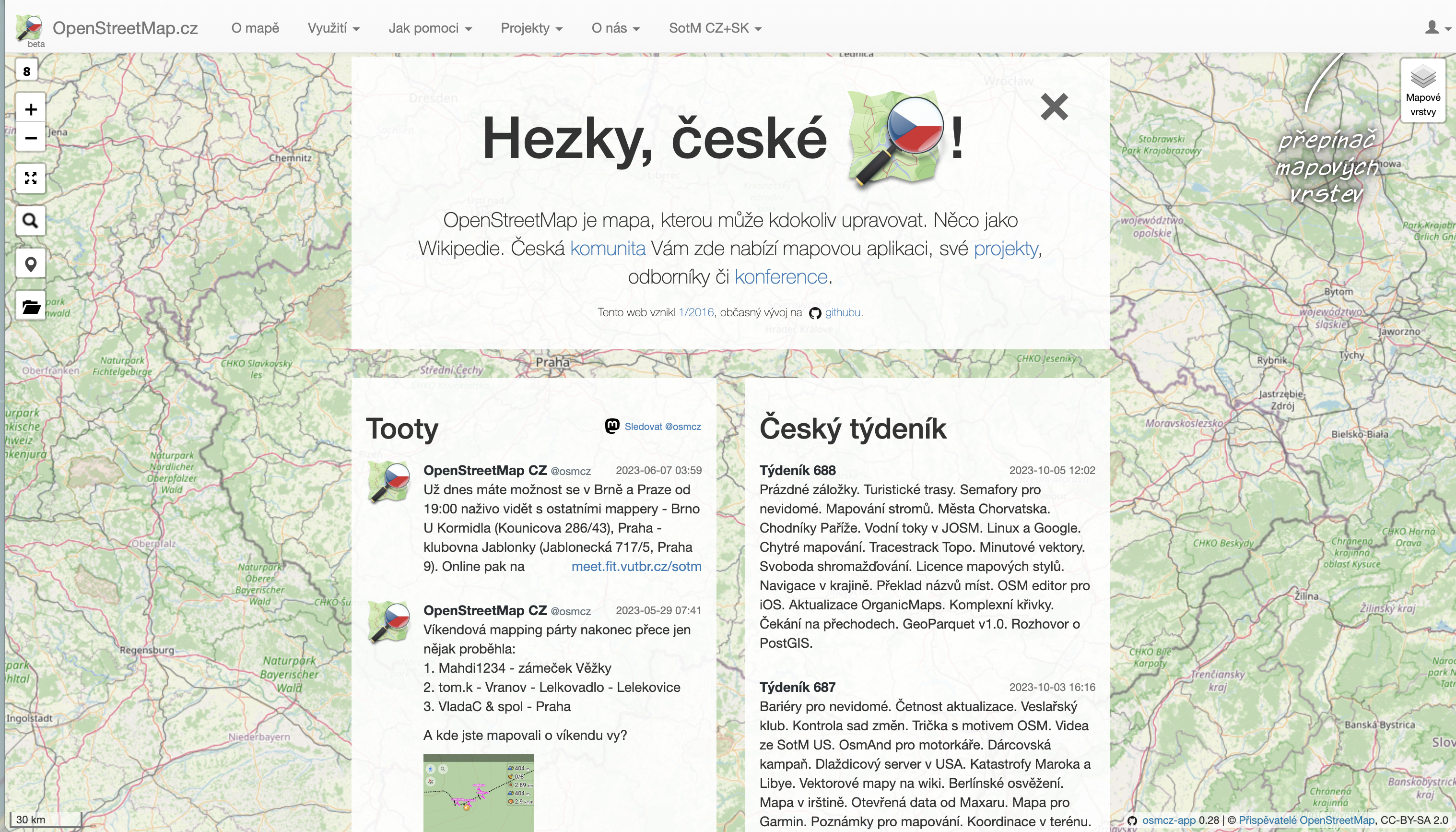
OSM Czech
Greeter tool – in 2021, we developed and published greeter-osm tool, that is used to send a welcome message to first time contributors in specific area. In 2021 we sent several hundred welcome messages and we have continued to do so since then. See github.com/osmcz/greeter-osm.
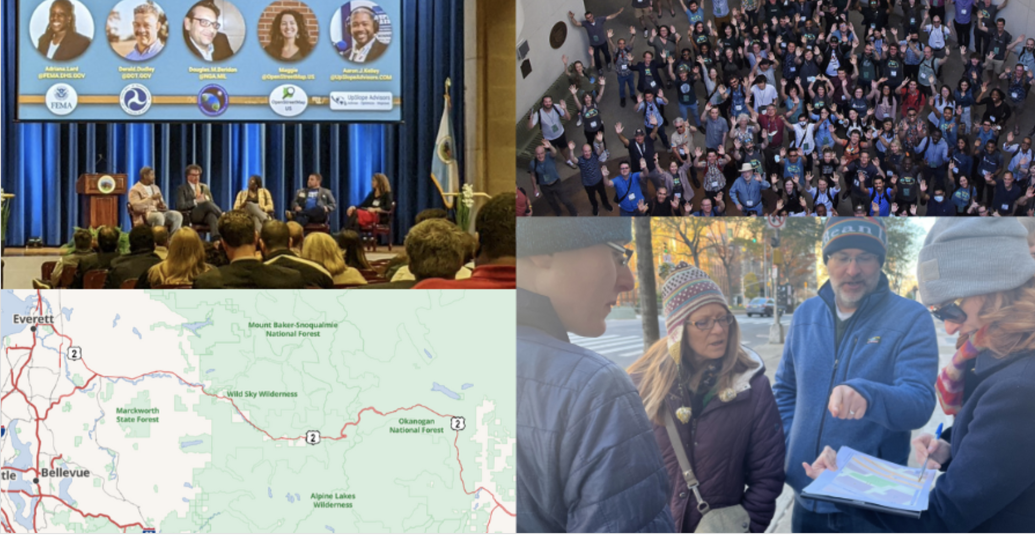
OSM US recently organized the 11th State of the Map US in June 2023 in Richmond, Virginia. Check out the videos in the Youtube playlist and photos in Flickr.
from https://openstreetmap.us/news/2023/01/2022-year-in-review
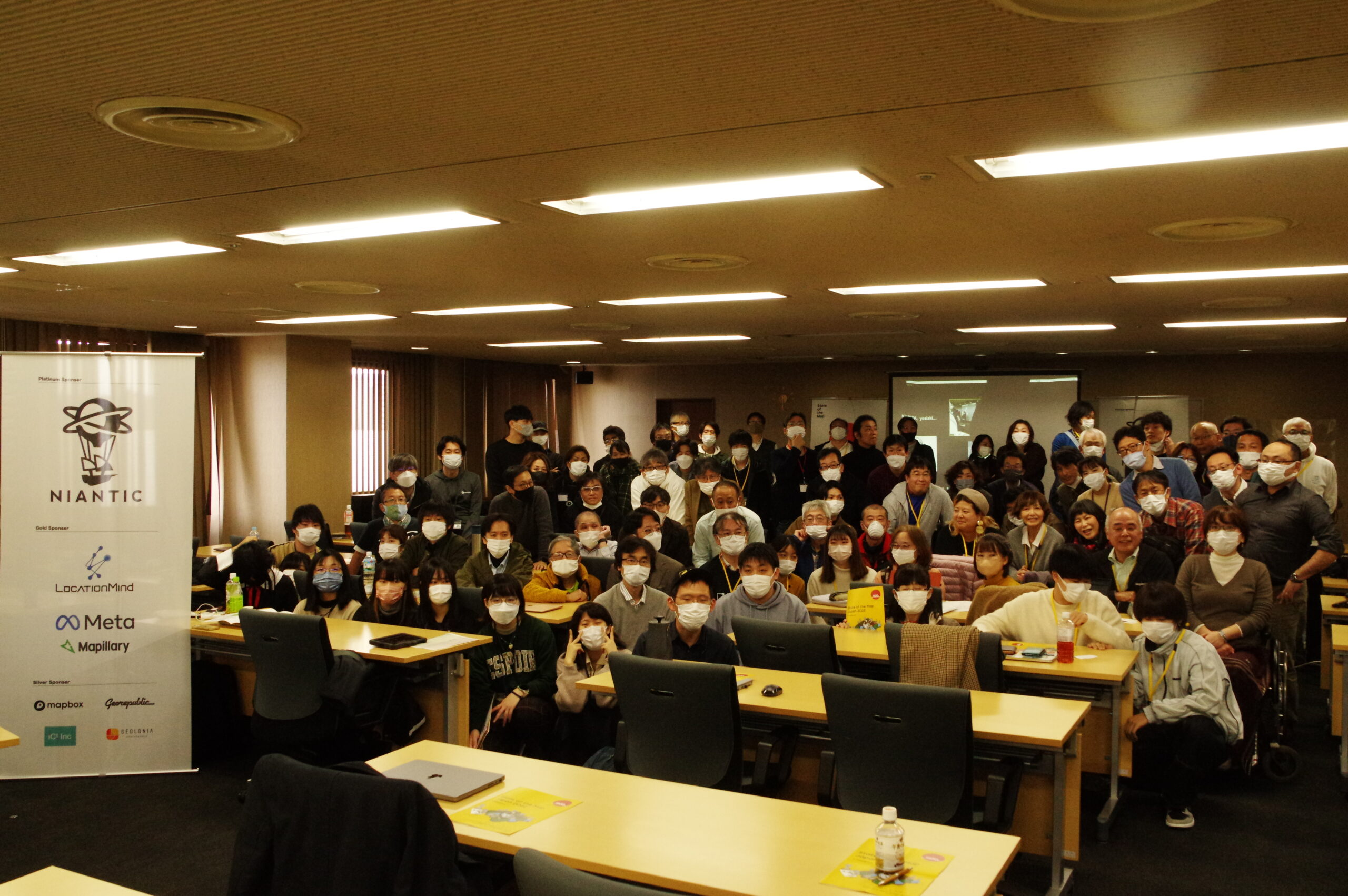
OSM Japan
OSM Japan hosted State of the Map Japan 2022 in Kakogawa and online with the theme: "Restart" following the COVID19 pandemic. It was organized by 12 volunteers and attended by 140 participants with 15 student scholars volunteers. Check out the videos.
The year 2021-2022 was the occasion for OSM France to be integrated into the plenary council of the CNIG (National Council for Geolocated Information). The activity of the CNIG is growing following the appointment of its new president last year. This entry of the association is excellent news. It recognises the work of the entire community in the service of the OSM project and it officially marks the importance of the project in the geographic information landscape.
OSGeo Oceania organized FOSS4G SotM Oceania 2022 with Pacific Islands GIS and Remote Sensing User Conference in Fiji in December 2022, you can view the presentation here. This year, the annual regional conference is happening in Aukland - find out more in the official conference website
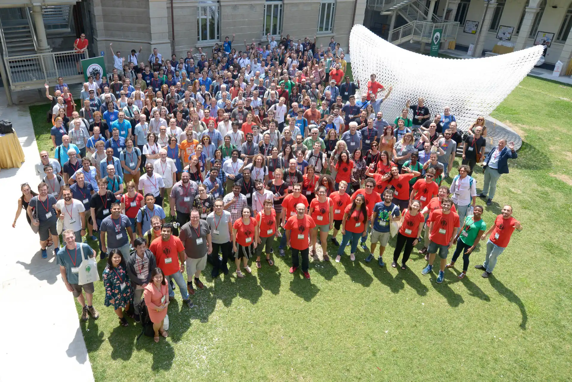
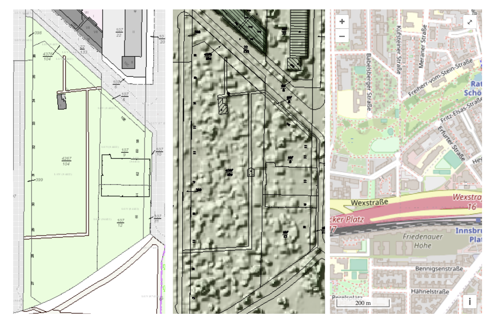
FOSSGIS Conference 2023 happened in March 2023 in Berlin. Participated by about 500 participants, FOSSGIS Konferenz addresses local users and businesses to meet, learn about new development & collaborate on local chapter activities in their own language.
The following three map examples show part of the Berlin allotment garden colony “Am Stadtpark I” ALKIS as an example of official geodata (left), image-based digital surface model (bDOM) as an example of the information open remote sensing data (middle image), OpenStreetMap map (right). from https://www.fossgis.de/aktivit%c3%a4ten/grueneoasen/
OSM Iceland
OSM Iceland has met with the National Land Survey of Iceland who has been tasked with creating a free and open road dataset. Until now the OSM road data has been the de facto road network used in work both by governmental and non-governmental organizations. A presentation made in 2020 for the OSMF board is available at the OSMF website.
In January 2023, Geomob podcast featured an active Swiss mapper, Simon, who happens to be the the current president of the Swiss OpenStreetMap association. Tune in to hear about his motivation for the project, and his perspective on the OpenStreetMap community and its future.
Note: OSM BE is currently not a recognized local chapter, due to internal changes in the organization. However, this report is reflective of a period when they were recognized.
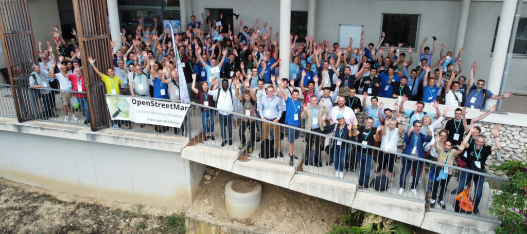
OSM Belgium has been busy organizing State of the Map Europe 2023 that will happen in Antwerp. It hopes to bring together the brightest and most active members of the OpenStreetMap mapping and developing community for a detailed exchange of results and ideas that support the continued success of the various initiatives by strengthening the ongoing projects and collaboration. More information is on the website.
The evolution of mapping roads in Brussels. Green: slow roads. Grey: mapped roads. Black: roads being worked on that month. From https://openstreetmap.be/en/projects/road-completion.html
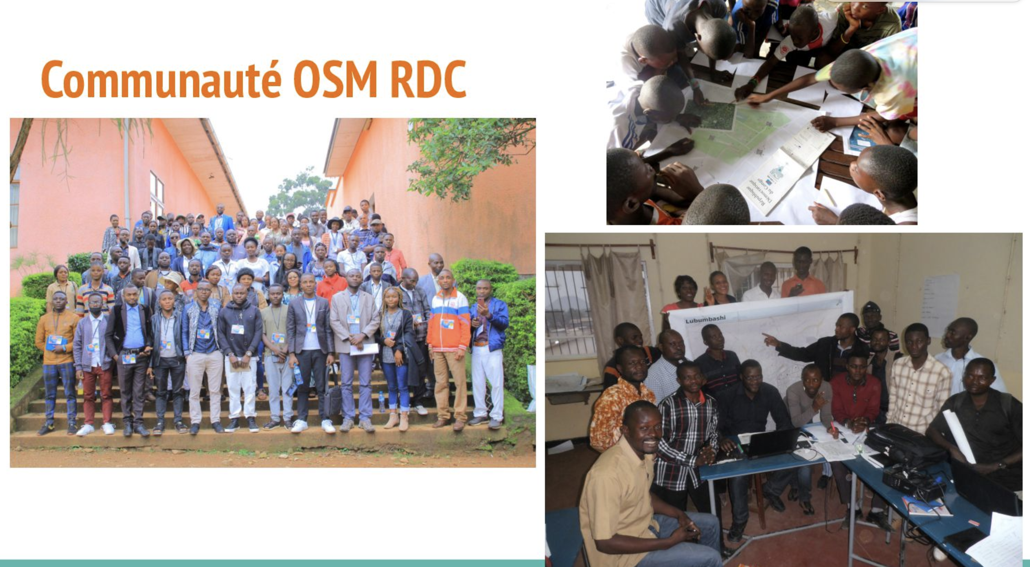
OSM Democratic Republic of Congo
At the end of 2022, OSM DRC started crowdmapping projects of main waterways using a national open data reference to identify missing ones and manually digitize them. Two provinces (Lualaba and Haut-Katanga) out of 26 are being finalized now, but we want to achieve a national coverage. See this presentation during the OSMF Community Spotlight session in July 2023.
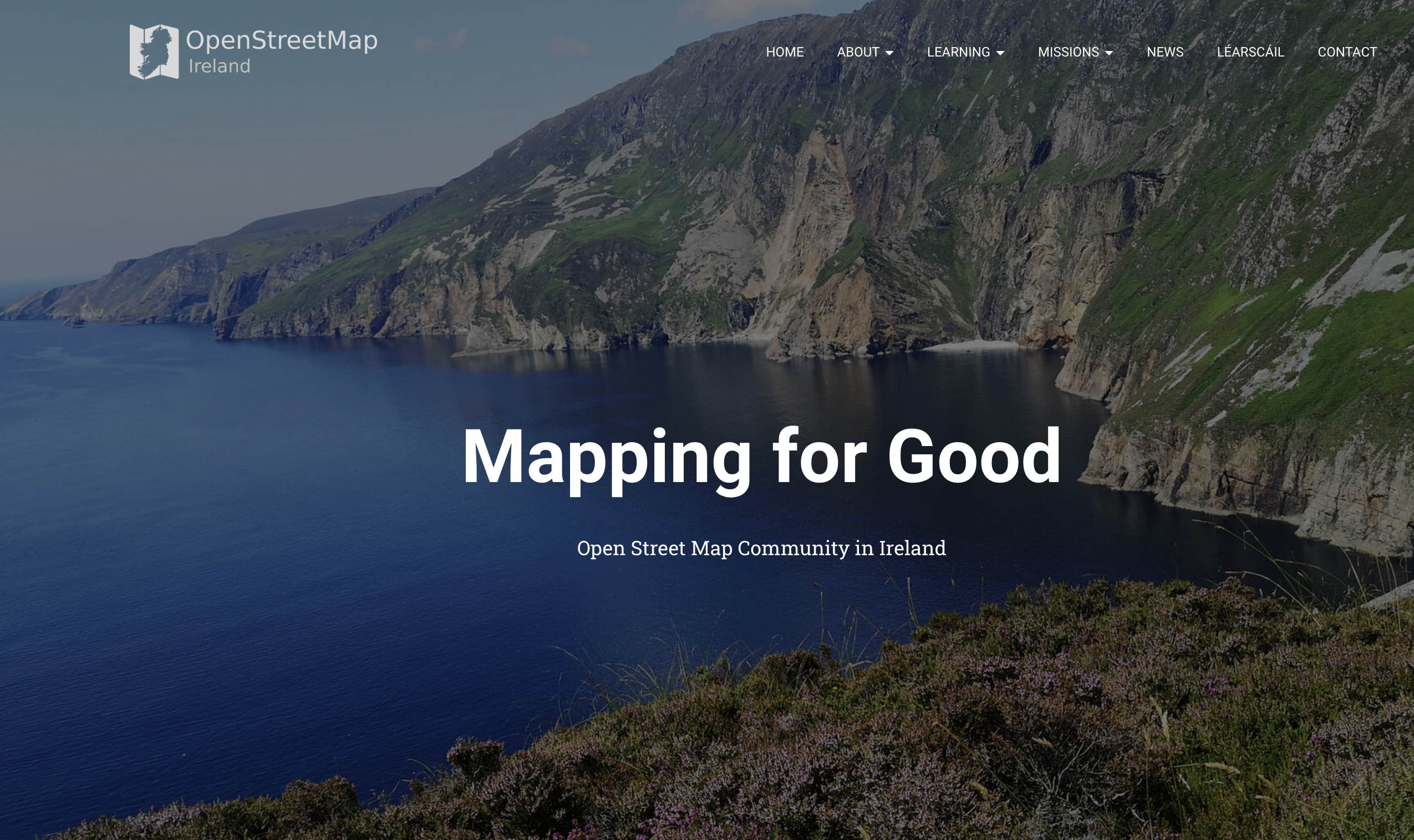
OSM Ireland Buildings Microgrant Project concluded in 2022 - with 200,000 buildings mapped with growth in the community as a result of frequent online community meetings and goodies. See the full report in the wiki.
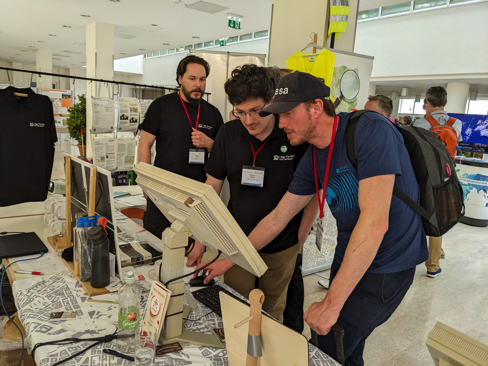
OSM Austria continues to spread the knowledge of OpenStreetMap in the country. They participated in Maker Faire Vienna 2023, the trade fair for global makers and inventors, and looking forward to participate in Maker Faire Salzburg in November this year.
from https://www.openstreetmap.at/2023/07/das-war-die-gi-salzburg-2023/
Free Libre Open Source Software Kosova
Fostering Community Engagement in Albania: OSM Kosovo played an integral role in establishing and organizing the OpenStreetMap Albania community. Their efforts were focused on fostering a vibrant mapping community, promoting the use of open-source mapping tools, and facilitating collaboration among various stakeholders.
OSM Poland has been developing the OpenAEDMap project, which has reached more than 5,600 locations of the AED devices - this is possible thanks to community activism and a campaign among local government entities.
If you and you’re community is interested in becoming a Local Chapter, please check the FAQs page or reach out to LCCWG via email local@osmfoundation.org.
The OpenStreetMap Foundation is a not-for-profit organisation, formed to support the OpenStreetMap Project. It is dedicated to encouraging the growth, development and distribution of free geospatial data for anyone to use and share. The OpenStreetMap Foundation owns and maintains the infrastructure of the OpenStreetMap project, is financially supported by membership fees and donations, and organises the annual, international State of the Map conference. Our volunteer Working Groups and small core staff work to support the OpenStreetMap project. Join the OpenStreetMap Foundation for just £15 a year or for free if you are an active OpenStreetMap contributor.