OSM decentralisation

OSM has traditionaly run nearly everything off on one box. The wiki, mailing lists, source repository… everything. These little bits have now been moved to a VM machine donated by bytemark. Thus the wiki is now at wiki.openstreetmap.org, subversion source is at svn.openstreetmap.org, mailing lists are at lists.openstreetmap.org and the bug database trac is at trac.openstreetmap.org.

All this takes load off of the main machine and allows for easy migration in the future.

UK Motorway Carriageways Complete!

Etienne Cherdlu writes:

I’m pleased to announce that the main carriageways of all mainland UK motorways have been completed. Over 3,000 km of roadway.

This does not include motorways in Northern Ireland nor does it include motorway sections of A roads, so there is still plenty of work to do.

Indeed, the user contributions are now outstripping the current editing software! In the works is functionality to classify the motorways so they can be rendered more effectively in our map drawing software and used effectively in any future routing algorithms.

Still, this is an excellent result, well done to the UK Motorways team, who could still use your help in adding/refining junctions and checking for consistency.

In other news, OpenStreetMap gained it’s 1000th registered user just before the new year.

London GPS Animation

OpenStreetMap has contributors all over the world, and our biggest UK contributor is London-based courier firm eCourier. They kindly provide us with GPS data collected by their couriers, and when you edit a part of London it’s almost certainly thanks to them that the roads are so clear and easy to trace.

We made a short animation to illustrate a sample of their data which they are hosting here, and you can check out their site and read more about our collaboration on their news page.

Open Grenoble Map

I remembered my favourite town so far in OpenStreetMap, it’s Grenoble in France. Again, the product of dedicated hands unknown, this time it’s worth clicking in for a closer look…

Open Birmingham Map, and more

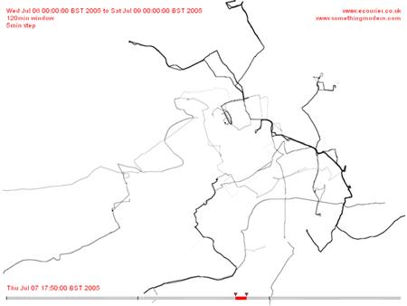
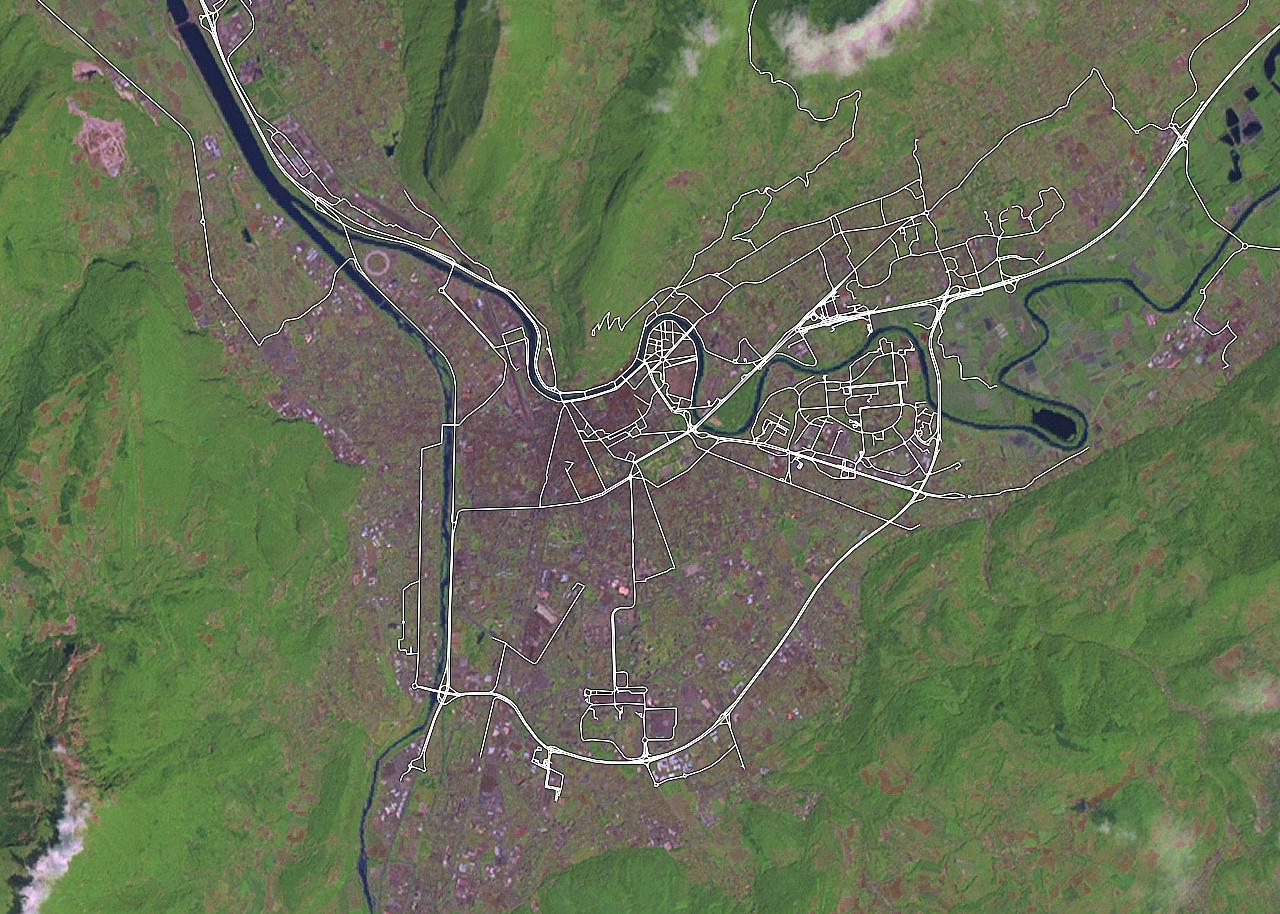
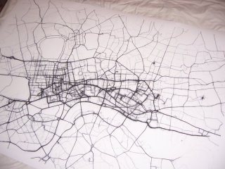
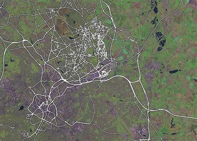
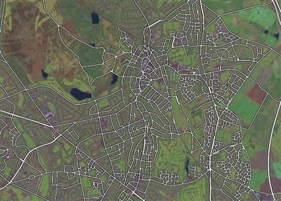
Over the last few months, whilst our developer eyes were on raw data for London, REST APIs, AJAX, new applets and stuff, a few enterprising souls have actually been mapping their home towns in the West Midlands and stress-testing the OpenStreetMap software with impressive and surprising dedication.

OpenStreetMap Birmingham, November 2005

detail of OpenStreetMap Birmingham, November 2005

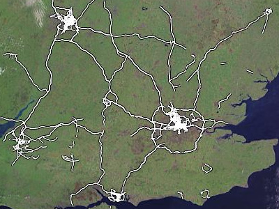
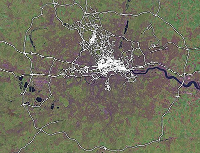
Apart from that, they (and others) have also been filling in Britain’s motorways (both carriages!) including the M25 and all its major junctions.

OpenStreetMap UK Motorways, November 2005

OpenStreetMap M25, November 2005

This post serves as a quick thanks to these folks (especially Alex, Andy and Simon – if I missed you, let me know) who’ve taken the time and effort to do all this work, and a promise from me and the other developers that extra tools (such as street names – a high priority) are on their way soon, along with a few more sensible ways to get your data back out again (we’re looking at various vector formats) and a few things to make your editing lives easier.

Keep it up folks, and do let us know if there are other areas being mapped with such care and attention. I know that Lars keeps a gazetteer on his wiki page, and I’m also aware of Portsmouth and Bristol being filled out nicely, so I’ll try and find some more inspriational areas soon.

Maps that Lye

This is a tiny scan from an A-Z map of central Bristol:

Map of Lye Close

Only if you go and wander around Canynge Square in Bristol you see some nice houses where that Close should be:

Buildings

Lye Close isn’t in the index either. Weird, huh? Well, not really. It’s an easter egg, a surprise street inserted so that if you attempt to copy the map then then the copyright holder can prove you copied it. Otherwise, why would you have the nonsense street in your map if you didn’t get it from them?

Fake street features are fairly hard to find, and we really have no idea how many there are. Fake streets, purpose mis-spellings and phantom churches are all thought to exist. It’s why OpenStreetMap asks you not to refence maps when entering data, and it’s one reason why we need our own free and accurate geodata.

With thanks to Laurence and Jo for scans and pictures.