The community voting for the OpenStreetMap Awards 2017 continues! We have 45 nominees, any number of which you can support, and only nine of them will receive the award. This is a hard choice, and to help you, we are continuing the series of posts about the work nominees did.
Influential Writing Award
For the best tutorial, documentation, blog or a blog post. A text or series of texts that attracted many new people to OSM, provided an interesting outlook on the project, or inspired the community to do better things.
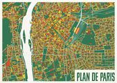
- Carto’Cité: there are few blogs about GIS in non-English languages, and we are lucky to have this one. Carto’Cité is a geomatics agency in Nantes, France, and not only they do work for their clients, they also regularly publish very detailed tutorials for using OpenStreetMap data in QGIS, uMap and other open tools.
- : being the most visible member of the Belgian community, he organizes local events and publishes a very diverse and useful diary. He writes in detail about analysing OSM data, using data from government, about impact of mapping parties and Missing Maps events, and interviews interesting people.
- BushmanK: he has posted many thoughtful diary posts about various aspects of OpenStreetMap, which make you question everything: mapping time zones, adding name translations, tagging man-made structures, using signs for names, and even governance of the map.
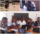
- Ramani Huria: they are the very active community in Tanzania, and their blog is full not only with event reports, but with tutorials on JOSM, QGIS and mapping techniques, in both English and Swahili. Their articles are useful both to people from their country and to everyone else.
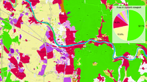
- Arun Ganesh: better known as PlaneMad, he is the leader of the Mapbox’s data team, always watching for errors on the map and analysing data, examining mapping applications or styling maps in his spare time. All of that you can see in his blog, complete with diagrams, screenshots and funny pictures.
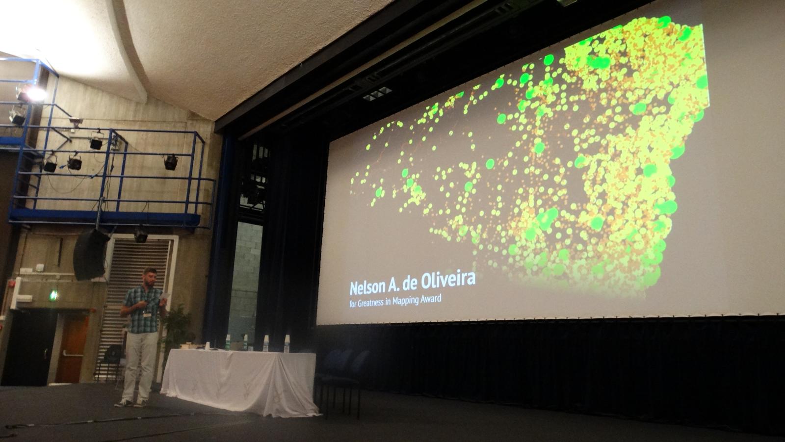
Greatness in Mapping Award
For significant contributions to the map data, or exemplary mapping: micro-mapping, clean-up, mapping towns from scratch, proper imports.
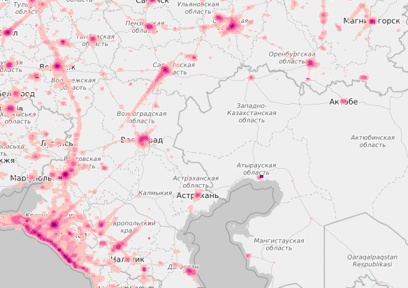
- xscvxc: while most of us map cities we live in, xscvxc is busy mapping small towns in his region, not on the radar of urban mappers. In his 2.8 million edits he perfected his home town and proceeded to improve many other rural areas of Novosibirsk Region in Russia.
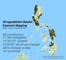
- Russell Deffner: to predict and prevent malaria disease spread, you need all the settlements and their buildings on the map. Russel has coordinated a global effort to map more than 4 million buildings across 7 countries, which is a lot. Read about this on the HOT project page.
- : in March there were a quarter million old-style multipolygons, and now there is none. All thanks to Jochen, who is coordinating the continuing series of polygon fixing tasks, complete with statistics, maps and explanations. Subscribe to this github issue to learn about new tasks, and help him make the OSM data simpler to use.
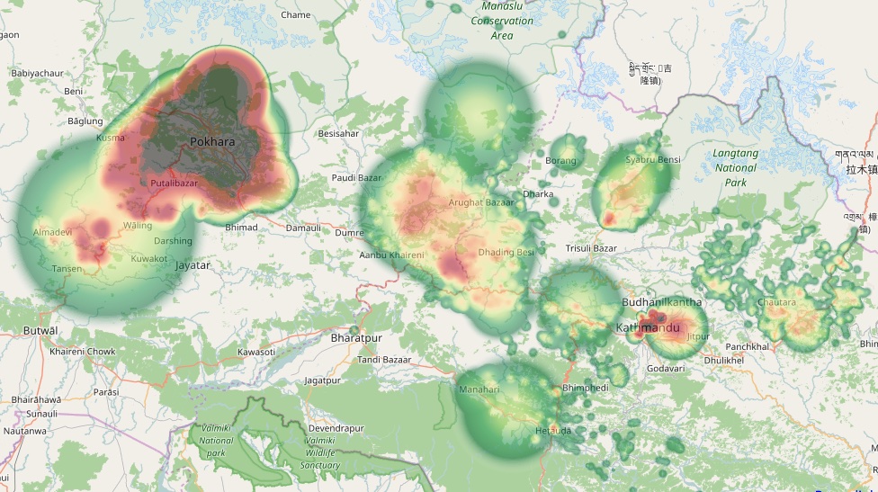
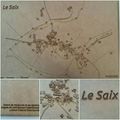
- : for a year and a half he has been actively mapping cities in Nepal: Kathmandu, Pokhara, Tikapur and others. There are few days he goes without adding something to the map: even today he’s drawn a lot of school buildings there.
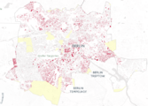
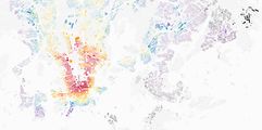
- katpatuka: if you’ve been in OpenStreetMap for at least a year, you’ve sure seen edits by katpatuka. In his 10 years of editing he made 30 million changes, mostly to Turkey and China. There is no point in showing his editing heat map: he has touched almost every point on Earth, focusing on less-developed areas. And he had not slowed down: it’s like if everyone else leaves OSM, thanks to katpatuka the map will still be complete eventually.
We hope you have made your choices — head to the OSM Awards website and mark people and groups that you think did the best job the previous year. You can choose any number of nominees, and the choice can be changed at any moment before the voting closes on the 16th of August. We’ll return next week to look at the regional categories.


")