Deutsch Français Galego Polski Nederlands Русский
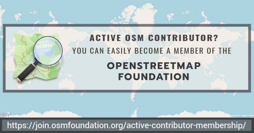
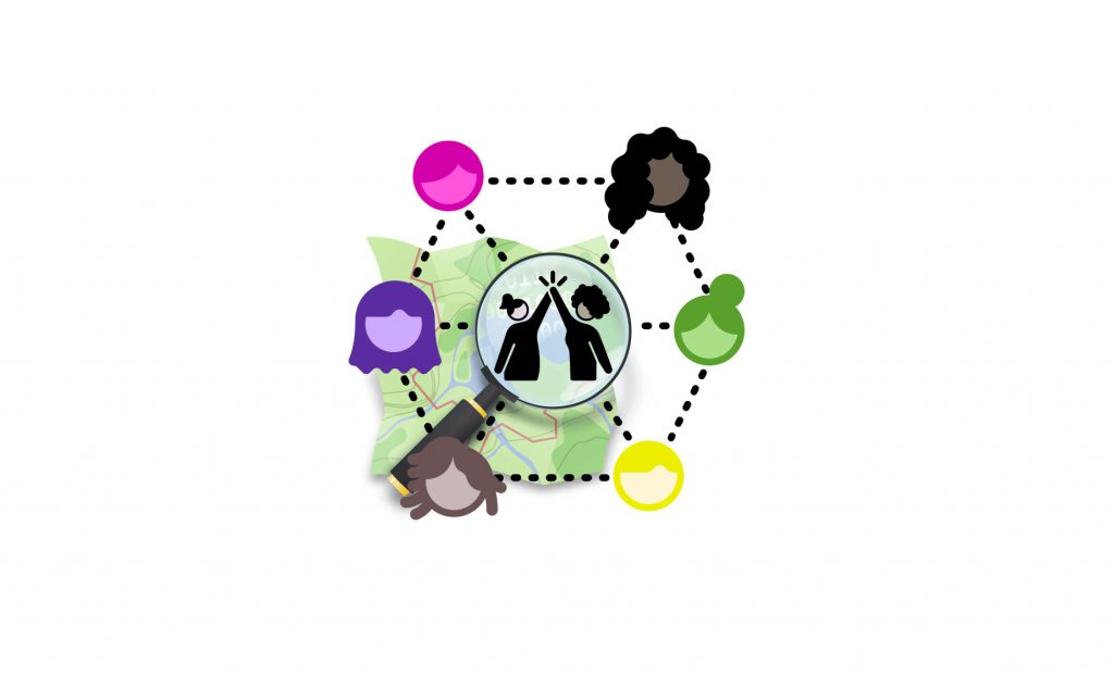
If you contribute significantly to the OpenStreetMap project you should have a voice in the OpenStreetMap Foundation, which is supporting the project, and be able to vote for the board members of your choice. There is now an easier and costless way to become an OpenStreetMap Foundation member:
The volunteers of the OSMF Membership Working Group have just implemented the active contributor membership program, where you can easily apply to become an Associate member of the Foundation and there is no need to pay the membership fee.
What can I do as an OSMF Associate member?
- You can vote for the board candidates of your choice at the board elections.
- You can vote on some issues during General Meetings (but not all).
- You can participate in the discussions between members on the OSMF members mailing list (if you are already an OSMF member register here – see the archive available to all).
- Subscription to the mailing list is optional.
- You have the option to receive a single daily digest, containing all the emails of the day.
- Feel free to email in your language 🙂
- You can proudly say that you are an OSMF member 🙂
How does it work?
We will automatically grant associate memberships to mappers who request it and who have contributed at least 42 calendar days in the last year (365 days).
Not everyone contributes by mapping, and some of the most familiar names in our members list barely map. Some are very involved, for example, in organizing conferences. Those other forms of contribution should be recognised as well. If you do not map at all or less than the 42 days, then we expect you to write a paragraph or two about what you do for OpenStreetMap. The Board will then vote on your application.
How can I find out how many mapping days I have?
- You can get an estimate from tools like Pascal Neis How did you contribute, which should be accurate enough for most purposes.
- If you are technically versed and wish to verify your mapping days yourself, use the changesets API of OSM to query your changesets. Then you can collect all unique dates in the created_at attributes of the changesets, and count how many unique days you have in the last 365 days.
I would like to become a member via the active contributor program!
● If you qualify based on mapping activity (at least 42 mapping days in the last 365 days) please fill out this form to get your active contributor membership
● If you qualify for other contributions to OpenStreetMap please fill out this form and describe your activities to get your active contributor membership.
General link:
https://join.osmfoundation.org/active-contributor-membership/

Frequently asked questions
What do I need to supply?
- Your name.
- Your OSM username.
- Your country of residence.
- Your email address (where ballots for voting will be sent and will be the email address associated with participation in the OSMF members mailing list, if you choose to subscribe)
How long is this membership valid?
Just like paid membership, membership under the membership fee waiver programme must be renewed annually. You will get a reminder, and you then can request the renewal, similar to the initial application. The check for mapping at least 42 calendar days in the last year will be carried out at the time you request the renewal, or alternatively you submit again a paragraph or two about what you do for OpenStreetMap.
What else do I need to know?
By law, every member of the OSMF can inspect the membership register (we ask for the purpose before handing it out and generally distribution by the recipient is not allowed). Who joined under which program is not revealed. The name, country, email and one of the OSM account names will be shown.
Why does this active contributor membership program exist?
By inviting more active community members to join the OSMF, we become more resilient against take-over attempts through massive signups. We believe that even mappers for whom £15 is not a lot of money would be more willing to join, if they are invited to a free membership due to their good work. Also, active contribution to the project is easier to assess than financial hardship and does not require the applicant to disclose personal information. The potential loss of individual membership fee income is not a threat to our financial stability. In fact, there are quite a few members who like to donate more than just £15. Those donations need not be tied to any membership.
Why 42 mapping days?
Mapping days is not perfect, but we need a benchmark that is objective, easy to verify, and simple for us to measure and implement.
Why 42 days? If we measure contributions in mapping days by OSMF members who map (83%), roughly half of them map more than 42 days per year. We would expect a “slightly exceptional” contribution in terms of mapping days.

How are my changes divided into days for measuring 42 mapping days
For measuring the mapping days, the created at time stamp of each changeset is used. Typically, all changes in a change set have the same time stamp. A day is defined in UTC from midnight to midnight.
Does paid mapping count?
The “active contributor program” is there to measure your engagement towards the project. In the first place, we think this is shown by volunteer activities for the project. If you do organizing or mapping for OSM as a part of your paid job, that is not necessarily a show of engagement with the project. By default, we would not include these activities as qualifying for this type of membership. But feel free to explain your contributions, and the Board will have a vote.
Can’t this be cheated?
We also discussed abuse. When we receive an application, we contact the mentioned OpenStreetMap account(s) through the OSM messaging system to confirm they are owned by the applicant. You could of course make tiny contributions like wiggling a single node on 60 days, and maybe go undetected and get your membership. But that would be fraud, and the membership could be revoked if the OSMF Membership Working Group finds out that the contributions are not meaningful.
What happens to the old fee waiver program?
The Active contributor membership program is replacing the old “fee waiver” program (active from 2018 January onward) where the membership fee was waived in cases of financial hardship or lack of suitable money transfer ability. The change was made possible by a vote during the 2019 Annual General Meeting. The “financial hardship” and “Lack of suitable money transfer” rule will be dropped entirely because even today, we expect someone joining under those rules to demonstrate some sort of contribution, so they would likely be eligible under the new rule as well.
What other options do I have to become a member?
As previously, you can still become a Normal member or Associate member of the Foundation by paying the annual £15 membership fee.
The main differences between Normal and Associate members are that:
- Normal members have to supply their full residential address.
- Normal members can vote on all issues during the General Meetings, while Associate members only on some issues.
- Normal members can be board candidates and hence become board members.
You can switch your membership type. Please contact the Membership Working Group (email below) for more information.
I would like to help the volunteers of the OSMF Membership Working Group!
Thank you 🙂 We need your help and you can make a difference by joining the Working Group. Send us an email at membership@osmfoundation.org
As a MWG member you can help us to:
- Administer the membership register.
- Answer routine questions like what kind of membership does someone have (normal or associate) or when will they need to renew.
- Help with the manual work for matching bank transfers with memberships for new sign ups and renewals.
- Sort out other problems regarding sign up or renewal.If you join, you can be as involved as you like.
I have another question!
Feel free to contact us at membership@osmfoundation.org

Get notified about new blogposts: Subscribe to the RSS feed!
Do you want to translate this and other blogposts in another language..? Please send an email to communication@osmfoundation.org with subject: Helping with translations in [language]
The OpenStreetMap Foundation is a not-for-profit organisation, formed to support the OpenStreetMap Project. It is dedicated to encouraging the growth, development and distribution of free geospatial data for anyone to use and share. The OpenStreetMap Foundation owns and maintains the infrastructure of the OpenStreetMap project, is financially supported by membership fees and donations, and organises the annual, international State of the Map conference. It has no full-time employees and it is supporting the OpenStreetMap project through the work of our volunteer Working Groups.

