Category Archives: Uncategorized

Transit schedules could be better.

Media_httpfarm4static_qobhg

Some of us are wondering what SteveC will be up to next, between hang
gliding lessons and skiing. He offered one hint today when he
published a new blog and introduced us to “Transiki”. Kind of like
Transit and Wiki; get it?

Steve talked about proprietary transit formats and varying attitudes
toward data sharing. This will be good fun to keep an eye on as it
progresses. Imagine the cool things that we’ll be able to learn when
we can see the neighboring and / or competing transit systems all in
the same tool. We’ve seen how OpenCycleMap makes a joke of municipal
cycle maps that “stop at the border”. Cyclists care bout the other
side of the border as well. Transit maps are about to get a wakeup
call.

You should read all of Steve’s announcement on his new Transiki blog:

http://blog.transiki.org/

Spot Image Trial OSM Image Donation

Aerial imagery provider Spot Image is allowing OSM users to derive
data from selected Spot Image images in France.

The announcement, in French, expresses interest in finding mutual
benefit for Spot Image and OpenStreetMap. As described by
Jean-Francois Faudi, of Spot Image,

At this stage, we are only making a test over France. As
soon as possible, we will try to evaluate the mutual benefits for Spot
Image and OpenStreetMap in order to foster an extended collaboration.

http://www.geographiques.org/carnet/2010/10/05/spot-images-met-a-disposition-…

Some of us first became aware of the interest Spot Image has in
OpenStreetMap in June 2010, when Spot Image was announced as Silver
Sponsor of State of the Map.

http://opengeodata.org/state-of-the-map-2010-exciting-updates

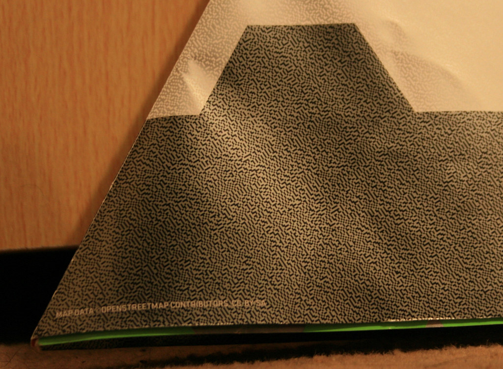
Public use of OpenStreetMap data, with attribution

Looks like there will be another Nike Grid event in London, England
using OpenStreetMap data. The online maps haven’t been released yet
but it looks like they have included OSM and CC-By-SA attribution on
at least some of their printed material this time.

http://www.nikegrid.com/

It is always nice to see people and companies understanding the value
of OpenStreetMap data and then using and attributing it appropriately.

Attribution photo by Ollie O’Brien http://www.flickr.com/photos/oobrien/
licensed CC-By-NC-SA http://creativecommons.org/licenses/by-nc-sa/2.0/deed.en_CA

Project of the Week: Potlatch 2

Media_httpwikiopenstr_ddbsr

You know it. You love it. It’s the editor on the main OSM web site.
It’s Potlatch and it’s had some serious renovations. It’s so new that
now it has a new name, “Potlatch 2”. But before Potlatch 2 can go live
on the OpenStreetMap web site, it has to be put through it’s paces.
After more than a year of development, Potlatch 2 is a complete
re-write of Potlatch. It has new features too numerous to mention, but
for the most important feature; it is an editor for OpenStreetMap. So
let’s test it.

Details and suggestions on the Project of the Week wiki page

http://wiki.openstreetmap.org/w/index.php?title=Project_of_the_week/2010/Oct_13

This is your Project of the Week. Submit your own projects or offer
suggestions to inspire and inform other mappers.

http://wiki.openstreetmap.org/wiki/Project_of_the_week/Proposals

Hardware fund Donation to OSM Foundation from MapQuest

MapQuest have made a donation to the OpenStreetMap Foundation. The
funds will be applied to hardware improvements and will benefit
OpenStreetMap contributors around the world.

http://blog.osmfoundation.org/2010/10/12/donation-for-osmf-hardware-from-mapq…

You can make a donation to OpenStreetMap as well, via the donation link below.

http://donate.openstreetmap.org/

Image of the Week: Великие Луки Mapping Weekend

Media_httpimgurcomy6p_ebdse

Великие Луки Mapping Weekend banner: “We’ve come from different cities
of Russia and Belarus to create the best map of Velikiye Luki in the
world”

This is a Featured image, which means that it has been identified as
one of the best examples of OpenStreetMap mapping, or that it provides
a useful illustration of the OpenStreetMap project.

If you know another image of similar quality, you can nominate it at

http://wiki.openstreetmap.org/wiki/Featured_image_proposals

Pretty OSM-derived Art Maps

Media_httpimgurcomixx_bwcxy

I’m not entirely sure what axismaps.com does but it sure seems to
involve a lot of pretty maps. This caught my attention when pointed
out to me by OSM contributor RichardF.

These unique maps of Chicago and Boston accurately depict
the streets and highways, parks, neighborhoods, coastlines, and
physical features of the city using nothing but type. Only by manually
weaving together thousands upon thousands of carefully placed words
does the full picture of the city emerge. Prints are
available.

So, Boston and Chicago, but I’m told that San Francisco, New York and
Washington are in progress, too.

See more pretty maps and wonderful photography of maps on their web site.

http://www.axismaps.com/typographic.php

They have a blog entry describing the process of creating these maps, as well.

http://www.axismaps.com/blog/2010/09/typographic-map-posters/