December 30th, 2012 – January 13th, 2013
A summary of all the things happening in the OpenStreetMap (OSM) world.
- A new “Year of Edits” video showing the contributions to OSM in 2012 can be found here. Thank you very much Derick Rethans!
- Many of you already know: the OSM project has more than 1 000 000 registered members since last week. You can find some online articles at TPM or futurzone.at (German) and some additional statistics by Harry Wood and Pascal Neis (at the end of the article).
- The Humanitarian OSM Team (HOT) wrote a review of their year 2012 and an outlook on 2013. Furthermore Mapbox helped to improve some satellite imagery that makes tracing data for OSM easier.
- New aerial imagery for South Africa to trace OSM data is available now.
- A few weeks ago, Frederik Ramm wrote a blog post about what would happen if every Mapper would contribute 1.000 addresses to OSM. Now he has created a list of accounts that have added addresses. You can find similar information at “How did you contribute to OpenStreetMap?“.
- Dan Stowell wrote an article about “Data visualisation of pubs in UK & Eire” based on OSM data.
- A new (beta) version of the OSM WatchList by Paweł Paprota is online, read his announcement here.
- Pascal Neis created a new webpage where you can see other contributors in your area.
- Some statistics showing the usage of the OSM Pushpin editor.
- Alex Barth created a proposal for an “OSM contributor mark“. You can read and of course discuss the entire idea at the OSM talk mailing list.
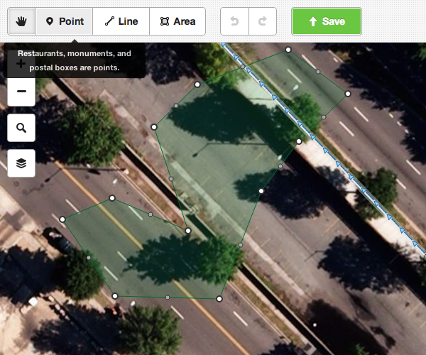
- The MapBox Satellite is available for tracing in JOSM for anybody now. Read the announcement here.
- A new Kickstarter project introduces a GPS watch with a two inch screen and OSM maps.
- There will be a few OSM events in the upcoming weeks:
- Open Data Day: Feb. 23rd, 2013
- State of the Map France: Feb. 23rd-24th, 2013
- OSM Hack Weekend London: Fed. 2nd-3rd, 2013
- OSM Hack Weekend Karlsruhe: Feb. 23rd-24th, 2013
Did we miss something? You can contact us via weekly.osm@googlemail.com
Authors: Pascal & Dennis – (thx @ “Wochennotiz”)