Monthly Archives: January 2018

State of the Map 2018 Academic Track – Call for abstracts

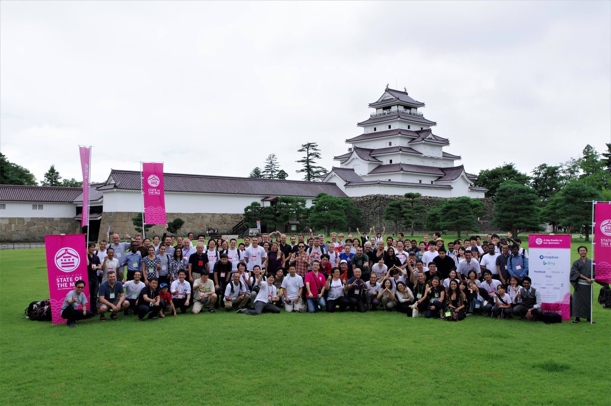
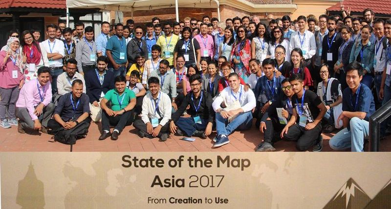
In parallel to the standard sessions, this year State of the Map will run an Academic Track session to showcase the great importance OpenStreetMap has gained within the scientific and academic communities. The Academic Track aims to bring together and foster interactions between OpenStreetMap contributors and scientific researchers from all over the world. Consequently this will demonstrate both the potential and maturity of scientific investigations based on OpenStreetMap to the whole community and stimulate a beneficial discussion among the attendees. Contributions are expected to address any scientific aspect related to OpenStreetMap, in particular, but not limited, to the following:

  • Quality of OpenStreetMap data.
  • Analysis of contribution patterns in OpenStreetMap.
  • Exploitation of OpenStreetMap data to generate new scientifically valuable datasets.
  • Integration of OpenStreetMap data with other datasets to generate new scientifically valuable datasets.
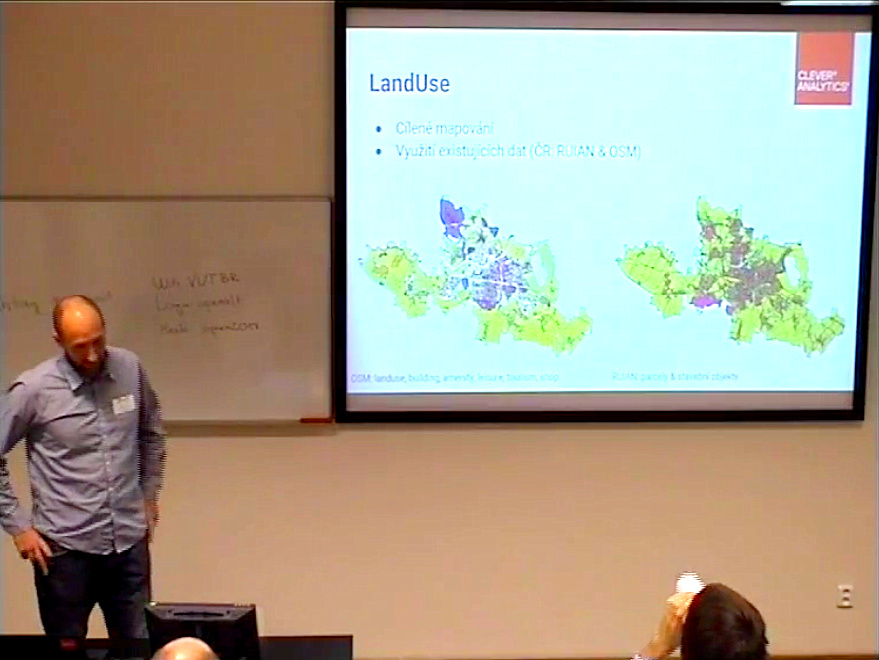
  • Scientific applications of OpenStreetMap.
  • New approaches to facilitate or improve data collection in OpenStreetMap (e.g. through gamification or citizen science approaches).
  • Literature reviews on specific aspects of OpenStreetMap.
  • Creating better connections and collaborations between the scientific community and the OpenStreetMap community.
  • Open research problems in OpenStreetMap and challenges for the scientific community.

Authors are invited to submit abstracts using this form.
Deadline: March 4th, 2018.

The maximum length of the abstract is 2500 characters. Abstracts must be scientifically rigorous and structured as follows: introduction/background, where the problem addressed is introduced; main aim or purpose of the study; brief description of the methodology and findings achieved; final discussion highlighting the scientific contribution of the study and its practical benefits/implications. Abstracts describing the use, analysis and processing of OpenStreetMap data for new and unconventional applications/disciplines are particularly encouraged.

Abstracts will be evaluated by the Scientific Committee. Authors of selected abstracts will be invited to give an oral presentation during the Academic Track sessions at the conference. In addition, authors of selected abstracts will be invited to submit a full paper for the Special Issue “Open Source Geospatial Software” of the journal Open Geospatial Data, Software and Standards.

Scientific Committee

  • Dr. Marco Minghini – Politecnico di Milano, Department of Civil and Environmental Engineering, Italy
  • Dr. Peter Mooney – Maynooth University, Department of Computer Science, Ireland
  • Dr. Vyron Antoniou – Geographic Directorate, Hellenic Army General Staff, Greece
  • Prof. Maria Antonia Brovelli – Politecnico di Milano, Department of Civil and Environmental Engineering, Italy
  • Dr. Frank Ostermann – University of Twente, Faculty of Geo-Information Science and Earth Observation (ITC), The Netherlands
  • Dr. Amin Mobasheri – GIScience Research Group, Institute of Geography, Heidelberg University, Germany
  • Joost Schouppe – OpenStreetMap Belgium, Belgium

Apply for support to join us in Milan for State of the Map 2018

return 

The application form for State of the Map 2018 grants and scholarships is now open.

OpenStreetMap is a world map of many people and places. And we want you all there for our upcoming State of the Map conference in Milan. We can provide financial support to help you to join in the fun thanks to the generosity of our sponsors. This year we welcome back BingFacebookMapbox as Gold sponsors, Telenav as Silver sponsor, and say hello to Italian company, Immobiliare.it who joins at Silver level.

Apply now for support to join us in Milan for State of the Map 2018!
Deadline: Wednesday 14th February 2018.

Each year we receive more scholarship applications than we are able to support. To help us best allocate the funds, we have different levels of scholarship – you can now pick from Grants for speakers, or Full or Enhanced scholarships.

Here are some tips to help you complete your application. You can also check out Gregory’s post on how we selected scholars from previous year’s applicants.

  • Select the minimum level of scholarship you need to attend. This will help us to make the best use of limited funds.
  • Answer the question “How will attending State of the Map benefit you and OpenStreetMap” in 1500 characters maximum. Keep sentences short. Focus on the benefits to you and to OpenStreetMap.
  • We want to hear about your contributions to OpenStreetMap, your project or your group. We do not want an account of a group’s work but your individual part in it. Try to use “I” not “we“.
  • You may include links to your OpenStreetMap profile, a local group you run, or software you created. If your written answer is satisfactory to get in our shortlist – we might take a look at these additional details.
  • What topics or views will you bring to State of the Map that are otherwise missing?
  • What do you plan to do when you return home after State of the Map?

Whilst you are here don’t forget that you can also read the experiences that our scholars gained from being able to attend State of the Map 2017.

Apply now!

This post was updated in late June 2018 to include the sponsors from our top two tiers.

OpenStreetMap Receives Large Donation from the Pineapple Fund!

Pineapple Party

We’re celebrating the generous donation from the Pineapple Fund to the OpenStreetMap Foundation. Party.

Only two weeks ago we were amazed to see a large bitcoin donation of over 2.3 BTCs, worth €30,000 (£27,000) and asked ourselves where this donation might originate from. There had been different ideas, but we’re still clueless.

Some suggested that this was the Pineapple Fund donating to us. But only today we learned it wasn’t them as we received a second donation, this time indeed from them. They sent us the amazing amount of 18 Bitcoins, currently worth over €200,000! Yay!

What is the Pineapple Fund?

The Pineapple Fund was created by an anonymous (privacy-loving) person that goes by the username Pine who invested in the really early days of Bitcoin, and is now one of the 250 richest bitcoin holders. They generously decided to establish the Pineapple Fund, as “once you have enough money, money doesn’t matter” and to donate $86 million worth of Bitcoins to all kind of charitable organizations. Read more about their mission statement on pineapplefund.org. If you scroll down a bit you’ll find a list of organizations that already got a donation and the list now contains our project as well. They also link to different news covering their story.

What is Bitcoin?

Bitcoin is a cryptocurrency and an innovative digital payment network which started back in 2009. It is based on cryptography to secure any payments and has a public ledger to document any payments made. As it is based on a public peer-to-peer network, anyone can participate and no central server or instance is needed.

Bitcoin received broader media attention lately as the fiat exchange rates have risen by some hundreds of percents last year, making one Bitcoin worth more than €10,000 as of today.

For more details you may want to have a look at bitcoin.org, which also features a nice introductory video.

Why OpenStreetMap?

The Pineapple Fund explained on reddit that “$250k go to OpenStreetMap, because geographic data for our world should be freely available, without restrictions”. OpenStreetMap was started because most maps you think of as free actually have legal or technical restrictions on their use, holding back people from using them in creative, productive, or unexpected ways. We aim to make the best map data set of the world, read the OpenStreetMap Foundation’s mission statement.

Thank you!

A big thank you to the anonymous donor two weeks ago and a special thank you to the Pineapple Fund, both generously supporting our project!

You can help OpenStreetMap too

If you’re considering donating yourself, here’s our Bitcoin address! You can donate via other methods. You can also help by mapping! Go to www.openstreetmap.org, create a free account and start mapping your neighbourhood. Let’s make the best map of the world together!

Propose your session for State of the Map 2018!

In July the OpenStreetMap community will be coming together for our annual State of the Map conference, this year in Milan, Italy. It is set to be an exciting three day event where mappers, programmers, practitioners, entrepreneurs, and policy makers will share their passion for OpenStreetMap.

We invite you to submit your session proposals for the 2018 State of the Map, by Sunday, 18th February 2018.

You are encouraged to submit proposals for 20 minute talks, 5 minute lightning talks, and 75 minute workshops that will result in progress and excitement in the world of OpenStreetMap. If you require a grant or scholarship to attend, please note that you will have to complete an additional form which we will publish in the next few weeks. Again, the deadline to submit your session proposals is Sunday, 18th February 2018.

Apply here

This year, we are particularly keen to see applications from good quality workshops (please apply for a grant or scholarship if it will help you). We also want to welcome academic talks, and will soon be releasing an additional form for you to submit your academic abstracts for peer-review.

Milan is known as the fashion capital of the world and is equally famous for its art, design and stunning architecture such as the Duomo – one of the biggest and grandest Gothic cathedrals in the world. This year we are delighted to be hosted at Politecnico di Milano (Polytechnic University of Milan), home of the PoliMappers and we will be based in the building shown above. This year’s logo was designed by Angelica Braccia and can be seen in all its glory on our website.

A look back at the conferences of 2017

Mappy New Year! 2017 has been an eventful year for OpenStreetMap. The communities across the globe not only hosted some amazing State of the Map conferences but also plenty of meetups, mapathons, mapping parties, workshops and much more that brought us, mappers, together and celebrated the essence of OpenStreetMap.

The State of the Map (SotM) conference is the annual, international conference of OpenStreetMap. Organised by the OpenStreetMap Foundation it has been held each year since 2007 (except 2015). There are also many other regional and local conferences named “State of the Map”. Please note that these regional SotMs are organised exclusively by local teams, which run their own sponsorship programs and have separate budgets from the OpenStreetMap Foundation. The main aim of these conferences is for them to become a platform for the exchange of information and experiences between old and new or potential users.

In this review, we have also included some non-SotM conferences that also focus a lot on OpenStreetMap.

Cheers to all the organisers and participants who made these conference a success, as well as contributing to making OpenStreetMap what it is!

FOSS4G Italy, 8th-11th February 2017

2017 started with this Italian conference on Free and Open Source Software and Geographic Data “FOSS4G-IT 2017” held in Genoa.

Group photo (Source: Website)

FOSSGIS, 22nd-25th March 2017

The 2017 FOSSGIS Conference was organized by the non-profit FOSSGIS eV and the OpenStreetMap Community with the support of the University of Passau. Users and developers gathered for a common exchange about application and work opportunities as well as the latest developments in this field.

Group photo (Source)

SotM France, 2nd-4th June 2017

The OpenStreetMap community in France organised a regional  State of the Map conference for the 5th time. This was the first regional State of the Map conference of the year and it took place in Avignon.

Some of the 250 attendees of State of the Map France (source)

SotM Africa, 8th–10th July 2017

The first State of the Map in Africa took place in Kampala, Uganda. It was inspiring to see so many passionate OSM volunteers from different parts of Africa altogether.

Group photo from the first SotM Africa (Source)

International SotM 18th-20th August 2017, Japan

This year the international State of the Map conference, organised by the SotM Working Group of the OpenStreetMap Foundation together with the local community, took place in  Aizuwakamatsu. Everyone enjoyed three days in, Japan with talks, discussions and workshops all around the free and open map of the world. You can read about the experiences of our scholars here and we hope to see you at international SotM 2018, which will take place on the 28th-30th of July 2018 in Milan, Italy!

Group photo from SotM (Source)

SotM Asia, 23rd-24th September 2017

State of the Map Asia, the annual regional conference of OpenStreetMap took place in Kathmandu, Nepal. The conference brought together about 175 Open Mapping enthusiasts from 16 countries in Asia, two countries in North America and two countries in Europe. The event provided an opportunity to share experiences, learn from each other and think collectively about the future development of OSM in Asia.

Different OSM communities across Asia came together at the State of the Map Asia 2017 conference (source)

SotM United States, 19th-22nd October 2017

State of the Map US took place in Boulder, Colorado. This was a platform for mappers, businesses, government agencies, and non-profits, to collaborate around OpenStreetMap.

Group photo from the State of the Map US 2017 (Source – CC-BY 2.0 Justin R. Miller)

FOSS4G + SotM Argentina, 23rd-28th October 2017

The OpenStreetMap and FOSS4G communities met at the combined event in Buenos Aires,   with six days full of geomatics workshops, presentations, exhibitions and interactions.

Group photo at the conference

SotM CZ, 4th-5th November 2017

This year’s SotM Czech Republic took place as part of OpenAlt conference.

A presentation on OSM for Location Intelligence during the conference (source)

SotM Latin America, 29th November – 2nd December 2017

This year’s SotM LatAm took place in Lima, the capital city of Peru. There were many interesting sessions that took place at the conference. You can read more about it here.

SotM Cameroon, 1st–3rd December 2017

This first SotM Cameroon brought together the actors of Geomatics in Cameroon. There was great participation from the community in making this conference a success.

A group photo of the OSM community in Cameroon taken in 2015 (Source)

SotM Tanzania, 8th–10th December 2017

Over 150 people from 10 countries came together at SotM TZ to explore how mapping can help develop Tanzania, people working in this field, and learn GIS and mapping skills at introductory and advanced levels.

Attendee Innocent Maholi captures a picture (Source)

These were a few of the many amazing conferences that happened in 2017. Let’s make sure that 2018 sees more such events for OpenStreetMap and continues to help communities network and grow!

Using the “State of the Map” Name

Interested in hosting a regional conference and want to have in the name “State of the Map” or “OpenStreetMap”? Please notify the OSM Foundation as soon as possible. This is to ensure that there are no timing conflicts with the International or other SotMs nearby. It also gives us some protection of our trademarks.

Are you far into the planning stage for your regional SotM conference in 2018? No need to worry, but please notify us immediately too. Note that the updated policy does not affect people organising mapping parties. We will tell you more about our updated trademark IP policy soon, so stay tuned!

New German Local Chapter FOSSGIS e.V.

We’re excited to welcome our latest local chapter, FOSSGIS e.V. from Germany. FOSSGIS e.V. has been around since 2001; they started out as an association of GRASS users and gradually widened their objectives to include the advancement of all open source and open data in GIS. “FOSSGIS e.V.” stands for Free & Open Source Software Geographic Information Systems (plus “eingetragener Verein” meaning “registered association”)

FOSSGIS e.V. have provided support to the German OpenStreetMap community since 2008. They run the domain openstreetmap.de, handle inquiries from German users of OpenStreetMap, and run a couple of services that are of great use to OSM in Germany and beyond, like a development server or the Overpass API servers. OpenStreetMap is also a major topic at the yearly FOSSGIS conference, usually filling a whole lecture track by itself.

FOSSGIS e.V. run their own micro-grant programme which has been put to various OSM-related uses in the past, like financial support for various kinds of meetups or niche projects (OpenFireMap, historic.place, the German OpenStreetMap podcast, and others).

Group photo from the last FOSSGIS conference in Passau, Germany

Unlike most other OSMF local chapters, FOSSGIS e.V. has not been incorporated solely for that purpose. They do other things unrelated to OpenStreetMap, for example supporting projects like QGIS, GRASS, deegree, and their respective communities and meetups, or doing work focused on making Open Source GIS software popular in universities. They are also a local chapter of OSGeo.

We’re looking forward to a prosperous collaboration with FOSSGIS e.V.!

Happy New Year!

2017 has been a good year for OpenStreetMap and the OpenStreetMap foundation. Many things happened and have been achieved that push our project even further. As not everyone was able to watch out for all that great news, we’ll highlight some of 2017’s events and give you some pointers for a further read.

Kate Chapman rounded off the year with her chairperson’s report in which she highlighted the growth of the Foundation membership, enabling it to further support our project. We have almost 900 foundation members in December 2017, which is in part a success of our membership drive last year. In addition to our individual members, we have an additional 24 corporate members, thanks to our new corporate membership program which took effect on Jan 1, 2017. Besides many renewals and tier upgrades we were able to welcome two new bronze members and five new gold members, with many big players on the list. Corporate memberships are a great way for some of our biggest data users to help remove the financial burden from our mappers who already donate so much of their valued time. A larger number of corporate members also makes us less dependent on single large donors. This is a great success.

Let us not forget that it’s the mappers who ultimately power our great geographical data though, and as foundation membership has grown, so has the number of mappers. In the final weeks of 2017 we hit the milestone of 1 million map contributors! We’ll bring you some more details of what that means in another blog post. One big boost to our contributor numbers that received much public attention was Pokémon Go. The news coverage about this game making use of OpenStreetMap data encouraged many players to go edit OpenStreetMap. Back then, we even published a blog post with tips to help new mappers coming from Pokémon Go. While the Foundation and its Data Working Group received some complaints about bad edits related to the game, many more trainers made valuable changes to the map. And in the end, players with constructive, fact-based edits persisted and continue to enrich our project.

OpenStreetMap is a large project with a worldwide community and as such, we’re quite diverse. That’s also why the OpenStreetMap Foundation is pushing for more Local Chapters (LCs) to form local representations of OpenStreetMap enthusiasts. That being said, we’ve been able to welcome three(!) new Local Chapters last year already. OSM UK, was last year’s first new addition (welcome!), followed by OpenStreetMap France (welcome!). Technically there has been a third one early in December 2017! But hold your horses. We’ll be bringing an announcement of that one very soon! That means the OSMF has six Local Chapters as of now, and hopefully at least two more LCs will follow in 2018. By the way, if you’re from a local community and are interested in starting your own Local Chapter or just want to chat about it or seek input, we had some meetups at the last two SotM conferences with new ideas and have revived the local-chapters mailing list for that reason.

Speaking of SotM, the global annual conference of OpenStreetMap went to Japan this year. State Of The Map 2017 was another fantastic event, and our busy organizing committee (one of the foundation working groups which you can join!) is already ramping up to bring together the 2018 conference in Milan, Italy.

There have been many more topics and development over the year and Dorothea, responding to feedback on our foundation members’ mailing list, compiled a list of foundation tasks and projects that have been either completed during this year or are still ongoing. Furthermore, there’s also a great overview of hers that summarizes all OSMF board meeting minutes in 2017, featuring topics discussed and decisions taken.

Speaking of the OSMF board, we had board elections in December 2017 and want to take the chance to congratulate Heather Leson and Paul Norman for being voted to the board! This year’s elections have been somewhat exhausting with about 50 different threads and about 600 messages on the foundation members’ list, compared to not even half that many during the rest of the year. The language was a bit heated at times, although there were also quite a lot of interesting and valuable discussions. Let’s hope that some of this energy and passion will be channelled into year-round community involvement in foundation matters.

And so, with a great and eventful 2017 coming to an end, we’re welcoming 2018, looking forward to yet another great year for OpenStreetMap!

Mappy new year everyone!