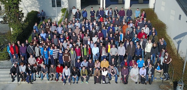
We’re excited to welcome our latest local chapter, FOSSGIS e.V. from Germany. FOSSGIS e.V. has been around since 2001; they started out as an association of GRASS users and gradually widened their objectives to include the advancement of all open source and open data in GIS. “FOSSGIS e.V.” stands for Free & Open Source Software Geographic Information Systems (plus “eingetragener Verein” meaning “registered association”)
FOSSGIS e.V. have provided support to the German OpenStreetMap community since 2008. They run the domain openstreetmap.de, handle inquiries from German users of OpenStreetMap, and run a couple of services that are of great use to OSM in Germany and beyond, like a development server or the Overpass API servers. OpenStreetMap is also a major topic at the yearly FOSSGIS conference, usually filling a whole lecture track by itself.
FOSSGIS e.V. run their own micro-grant programme which has been put to various OSM-related uses in the past, like financial support for various kinds of meetups or niche projects (OpenFireMap, historic.place, the German OpenStreetMap podcast, and others).
Unlike most other OSMF local chapters, FOSSGIS e.V. has not been incorporated solely for that purpose. They do other things unrelated to OpenStreetMap, for example supporting projects like QGIS, GRASS, deegree, and their respective communities and meetups, or doing work focused on making Open Source GIS software popular in universities. They are also a local chapter of OSGeo.
We’re looking forward to a prosperous collaboration with FOSSGIS e.V.!


Pingback: Welcome OpenStreetMap France | OpenStreetMap Blog
Pingback: New German Local Chapter for OpenStreetMap: FOSSGIS e.V. – GeoNe.ws
Pingback: weeklyOSM 390 | weekly – semanario – hebdo – 週刊 – týdeník – edisi
Pingback: New German OpenStreetMap Local Chapter: FOSSGIS e.V. – GeoNe.ws