Mailing lists are great. Don’t you just love it when an innocently titled OSM layer into Adobe Illustrator post breaks out into a storm? Phil Barnett, who wanted to use OpenStreetMap data along with imagery from Google Earth in an ITN news cast asked, “…and I presume there’s no problem with broadcasting this composite…”. There followed plenty of IANAL (I Am Not A Lawyer) prefixed comments, but the crux of the problem is this (from Mike Collinson) – OSM needs to make it crystal clear what constitutes a derivative work from OSM data, otherwise all this fantastic content is not going to be used to anywhere near its full potential. The debate continues on the Legal Mailing list.
If you are thinking of getting involved and wondering what type of gps unit to get (Tom-tom? Garmin? ….) take a look at the disucssion promped by David Stevenson on which sat-navs log, which specifically discusses Tom-toms, or look at the advice on the freshly updated wiki. That should give you a good round up of the pros and cons of the different devices that are around and set you off in the right direction (groan!).
The open tagging system that OpenStreetMap adopts always causes a lot of debate. This week, David Earl tried to finalise a new set of tags that the community have almost agreed on, which soon became a village-green discussion and a plea from Ben Robbins to be less flame-war-ish – its about critical discussion – don’t take it personally. It turns out that, village greens are not commons. OK, true enough but do you really care? Get off the fence and join the great OSM tagging debte. How exactly do you tag a fence?
A great subway-station vs. subway entrance discussion kicked of – do you put a node where the subway is, or mark each of the entrances? The weight of opinion was that you mark all the entrances, with the view that the routing/rendering engines will do the right thing and produce a detailed map. This does the discussion so much injustice – as with most of these kind of things, the devil is in the detail. Check here for the details.
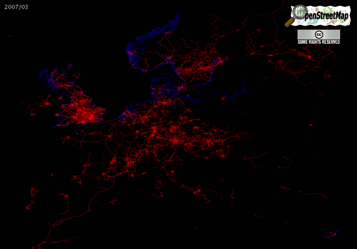
There was a good talk about presenting the splippy map starting from other locations than Europe – country/IP based mapping was discussed, as was a view of the whole world (you know, sometimes the simplest solutions are the best 🙂 ).
Don’t you just hate it when…. opened up a vein by Nick Whitelegg to vent all those frustrating things that can happen once you start that addictive thing called mapping. If you do nothing else today just read the thread. Did you really spend a few hours mapping and forget to check that your gps was logging? Wasn’t it really frustrating when your train took a detour down all these new unmapped tracks and the coating on the windows interfered with GPS reception. I was on the floor by the time I read Ivan Sanchez’s comment! You need to go there… I’m waiting for an OSM-dev version to appear….

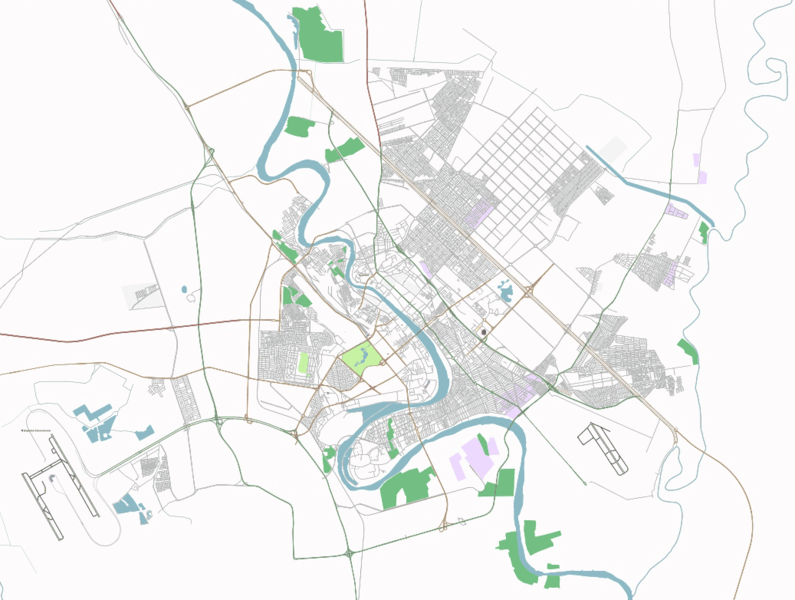
Osmarender4 has been up and running for a week or so now – (beautiful bridges) and should be running on all tiles@home clients now. There are a whole new set of icons as well. Looks like there will be some occasional confusion with the tiles on the slippy map util they are all osmrender4’d.
Looks like an Amsterdam Mapping Weekend is on the cards for the 17th/18th March. Who’d want to go to Amsterdam eh? 🙂 The things we’ll do for our art!
Oh, and we made it to the UK East Anglia Evening News, or David Earl did with an article on his and other OSM contributor’s great efforts to cycle and map the whole of Cambridge. There’s a brief item here.
By Barry Crabtree