So what’s with the Dragons? As OpenStreetMap grew, and acquired more
computers to run the OpenStreetMap services, those computers needed
names. These server names provide a way to refer to a specific piece
of computer hardware, regardless of the services that device might
currently provide. Naming servers according to a theme has a long
tradition in IT circles. Typical server name themes include planets,
constellations, characters from specific books or plays, and other
popular culture references.
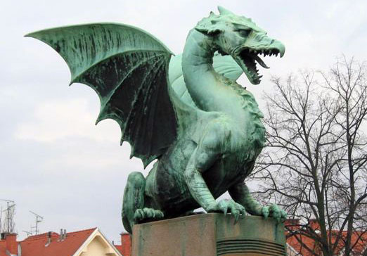
In 2008, the OpenStreetMap community decided to use dragon names as
the theme for OSM server names. Dragon names were chosen as a tribute
to the “Here be Dragons” marked on unexplored portions of maps and globes.
Several other themes were considered including the names of
cartographers and explorers.
And now we have even more dragons.
The OpenStreetMap Foundation, and the Operations Working Group, would
like to thank Nokia UK Limited and BitFolk.com
for their recent donations of hardware to the OpenStreetMap
Foundation. You can read more details about their generous donations on the OpenStreetMap Foundation Blog.

