This Sunday, 7th of August 2022,
we are celebrating 18 years of OpenStreetMap!
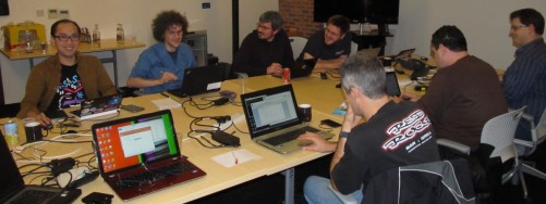
Celebrations started the previous week and will continue for one more week. So, how do you plan to celebrate? 🙂
Planning to organise an online or in-person event? Please add your event to the OSM wiki! If wiki editing isn’t your thing, email communication@osmfoundation.org with your event details and we’ll add it 🙂
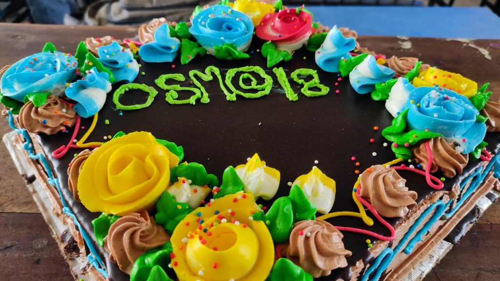
Making a birthday cake? See previous examples of OSM cakes for inspiration. Don’t forget the attribution!
You could post why you love OpenStreetMap 🙂 Remember to use the hashtag #OpenStreetMap18 on social media.
Posting photos of celebrations? If your photos are accompanied with the text “CC-BY-SA 4.0” (or another open license), we can add them to the OSM wiki (or feel free to add them yourself! ~ register here).
Or you could post a photo of yourself holding a written message 🙂
Planning an online party or mapathon?
You can use the BigBlueButton video server of the OpenStreetMap Foundation! To get a free account and your own video room, please signup.
- You can use your video room even after the birthday, for any OSM-related event.
- Community members in low-bandwidth environments may benefit from using BigBlueButton’s low-bandwidth settings.
- Please add your event to the OSM wiki! If wiki editing isn’t your thing, email communication@osmfoundation.org with your event details and we’ll add it 🙂
Join us!
Observance of the anniversary of the creation of OpenStreetMap is held on or about the 9th of August, which is the anniversary of the registration of the OpenStreetMap.org domain name. The concept of OpenStreetMap predates the domain name registration, but that seems a suitable anniversary date 🙂
Happy celebrations everyone 🙂
Get notified about new blogposts: Subscribe to the RSS feed!
Do you want to translate this and other blogposts in another language..? Please send an email to communication@osmfoundation.org with subject: Helping with translations in [language]
OpenStreetMap was founded in 2004 and is an international project to create a free map of the world. To do so, we, thousands of volunteers, collect data about roads, railways, rivers, forests, buildings, and a lot more worldwide. Our map data can be downloaded for free by everyone and used for any purpose – including commercial usage. It is possible to produce your own maps which highlight certain features, calculate routes, etc. OpenStreetMap is increasingly used when one needs maps that can be very quickly, or easily, updated.
