Photo by cosheahan on flickr. Licence: Attribution 2.0 Generic (CC BY 2.0)
Statement of Purpose
The OpenStreetMap Foundation (OSMF) Operations Working Group (OWG) is looking for proposals to provision space in a data centre to continue to run the OpenStreetMap (OSM) project’s infrastructure.
Background Information
OSMF is a nonprofit organisation dedicated to supporting, but not controlling, the OpenStreetMap project. OSMF created the OWG in order to support OSM’s technical infrastructure, including the main website, API, data distribution, community sites, and manage them for the benefit of the project.
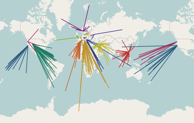
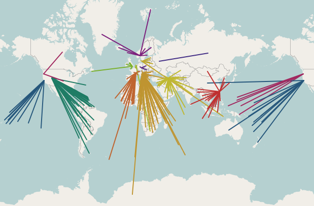
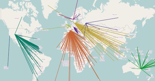
The map data created by OpenStreetMap and distributed through OSMF is the best free global map available. It powers services all over the world, including for companies such as Apple, Foursquare, Craigslist and Mapbox. Please see https://www.openstreetmap.org/about for more background information.
Scope of Work
The data centre provider must meet the requirements set out below.
Requirements
Primary
● The data centre must be in the EU.
● One rack (at least 40U) of space, at industry standard rack dimensions.
● Power capacity at least 3kW w/ dual redundant supplies.
● Cooling to keep the servers suitably cool, e.g: under 35 degrees celsius.
● Secure cages, so that only access authorised by the data centre or OSMF is possible.
● On-site “remote hands” to be able to receive and replace HDDs and press power buttons during weekday business hours and at least some service weekends and holidays.
● Network connection capable of 1Gbit/s peak traffic and 500Mbit/s sustained.
Secondary
● Control over the configuration of any upstream firewalls for the purposes of ensuring necessary ports are open.
● Good peering connection to major European backbone network. Ideally within 20ms of our existing sites on JANET.
Additional questions
Please provide detailed information on:
● The procedure for shipping parts to the data centre, and
● The procedure for raising a ticket for “remote hands” work, and
● Whether “remote hands” would be available outside of business hours, and
● The site’s uptime and network reachability over the past year, and
● The procedure for an OSMF representative to visit and access the data centre.
Term of Agreement
The agreement would start on or before 1st April 2018 and run for a minimum of 3 years (at
OSMF’s option), preferably renewable annually or on a longer basis after that. Any renewal or
cancellation on either side would need a minimum notice period of 3 months.
Terms and Conditions
If you have Terms and conditions or Acceptable Use Policies then you should submit them in editable form for legal review, where possible. T&C/AUP changes should be expected to ensure we meet the privacy and security commitments required for our users.
Schedule, Evaluation and Award Process
This RFP is expected to be open until 28th February 2018. Only applications received prior to this date can be considered for this RFP. All proposals will be received in confidence and will be kept private.
After the date above, all proposals will be evaluated by the OWG against the requirements set out above, after which OWG may contact candidate sites with follow-up questions or to arrange site visits. The final agreement will require legal review and approval by the OSMF board.
OSMF particularly welcomes responses from anyone willing to support the work of the foundation at minimal cost.
The successful candidate will be publicly thanked on the main OSM project website as well as OWG websites in accordance with OWG’s Hosting Provider Credit Policy.
Points of Contact
Many thanks for your interest. If you have any questions or proposals, please send them to
operations@osmfoundation.org.