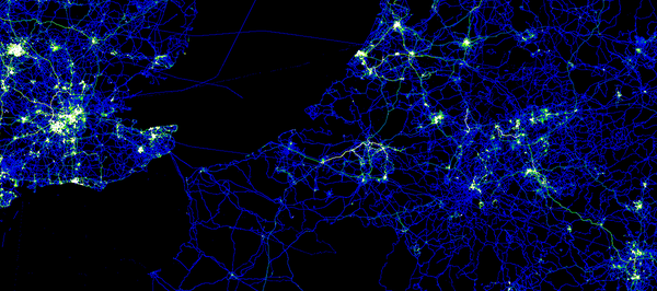
OpenStreetMap did not come out of a European research programme. It was not created as a policy instrument, nor was it designed from the top down to support institutional priorities.
Yet many of the ideas behind OpenStreetMap are now central to European strategies on data, digital transformation, innovation and technological sovereignty.
Openness, reuse, collaboration, trusted digital infrastructure, digital commons and technological autonomy are all important elements of current EU policy. They are also principles that have shaped OpenStreetMap for more than twenty years.
The OpenStreetMap Foundation is interested in opportunities to collaborate in EU-funded projects.
OpenStreetMap can make a practical contribution in areas such as digital commons and digital sovereignty.
This post is aimed mainly at people who are developing, or considering developing, EU project proposals involving OpenStreetMap Foundation.
OSMF is a small foundation supporting a very large global community.
It’s main role is to help ensure the sustainability of the OpenStreetMap project over time.
OSMF doesn’t create data on behalf of the community. OpenStreetMap is maintained and improved every day by thousands of people around the world.
To involve OSMF as a valuable partner in a European project, it is important to consider how the Foundation can contribute its experience in the governance of digital commons, open infrastructure, community-based models and long-term sustainability.
It can also help projects design activities that strengthen the OpenStreetMap ecosystem, rather than treating OpenStreetMap simply as a dataset to be used.
Licensing is another important aspect to consider from the beginning.
OpenStreetMap data is published under the ODbL, which reflects the project’s commitment to openness and share-alike principles. EU open data, however, is often published under licences such as CC BY.
This doesn’t necessarily prevent collaboration, but licence compatibility should be considered during the design of the project, not after the work has already started.
This is an important issue to interact with the OpenStreetMap ecosystem.
A practical invitation to project teams
OSMF encourages organisations developing EU project proposals to contact the Foundation at an early stage, ideally before the proposal is finalised.
A first approach should include:
– a short description of the project, why OpenStreetMap is relevant and what role is being proposed for OSMF
– an explanation of how the project would contribute back to the OpenStreetMap ecosystem, for example by strengthening infrastructure, supporting governance or contributing to the long-term sustainability
– a realistic collaboration model that reflects the size and capacity of a small non-profit organisation, including simpler funding arrangements, such as lump-sum contributions, where appropriate.
OSMF is open to collaboration with European projects that understand OpenStreetMap is not only as a map or a source of data, but as a community, a shared infrastructure and a living digital commons.
The invitation is simple: contact us, design the collaboration and work with us in a way that helps OpenStreetMap and its community remain strong over time.