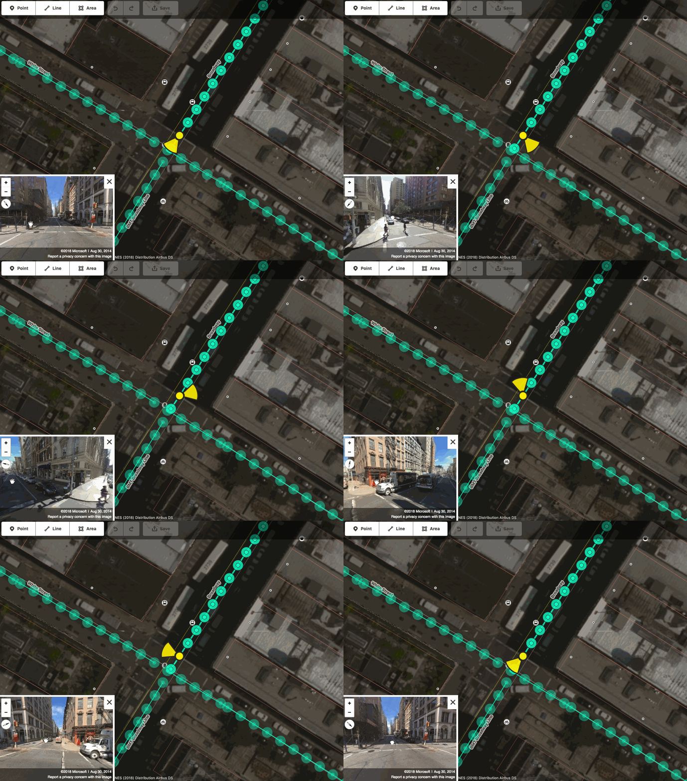
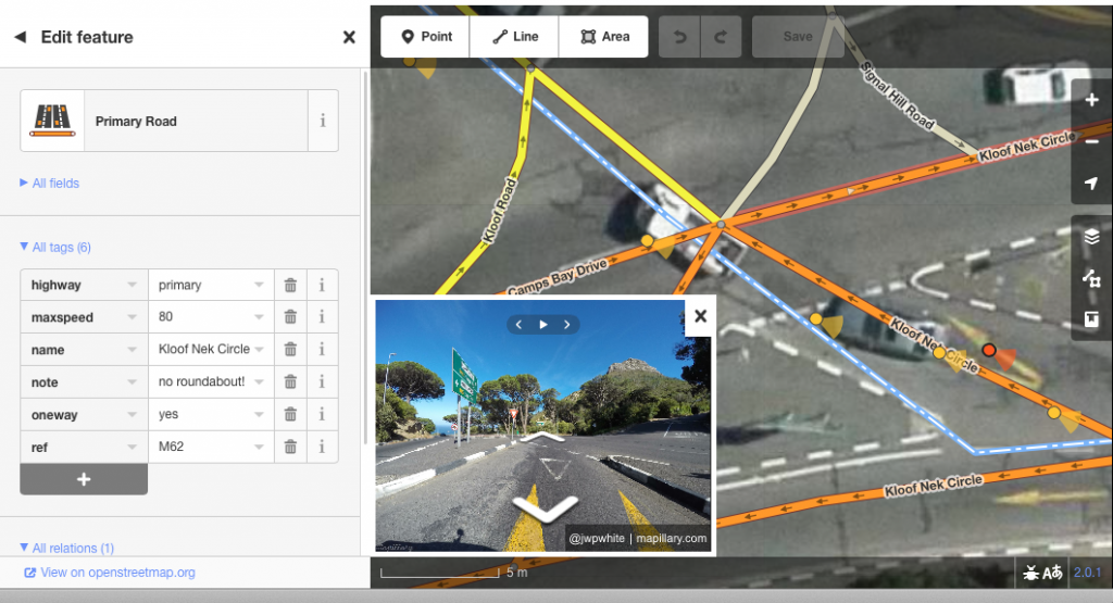
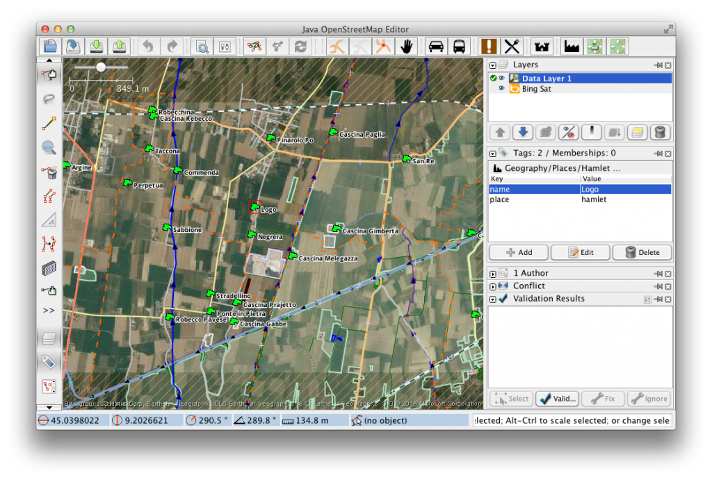
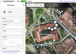
The OpenStreetMap Foundation board welcomes Martin Raifer, whom we contracted to work on the maintenance and development of iD, the default editor at openstreetmap.org. Below you will find his self-introduction. Martin will continue working for 20% of his time for HeiGIT (Heidelberg Institute for Geoinformation Technology) and he will have regular meetings with the OpenStreetMap community regarding iD. We would like to remind that any iD-related disputes will be dealt by the OSMF Software dispute resolution panel.
Hello, my name is Martin Raifer, on OSM I use the username tyr_asd. I’m happy to announce that starting with November 2021, I will take over the maintenance and continue the development of the iD editor (OSM’s default mapping web-application) as a freelancer and will be paid for that by the OSMF. I’m feeling humbled that the OSMF entrusted me with this important task!
my goals for iD
To put it simply: I want iD to be the best possible mapping tool! It should optimally fulfill its prominent, important and also delicate role of being the OSM’s default map editor.
iD should remain an intuitive tool which everyone can use, from beginners performing their first edits to the most experienced of mappers. Since many users will continue to have their first point of contact with mapping using the iD editor, there is the need for a strong focus on good usability and user experience design. At the same time, I find it also important to not neglect the needs of more advanced users who like to work efficiently and sometimes need more specialized ways to manipulate OSM data.
In many ways, iD already does a quite good job of affording people to edit the map. Of course there are always things to improve, stuff to optimize and features to change.
my background
I’m an active OSM mapper since 2009, and have been contributing to the OSM software ecosystem in various ways. Some of you might know overpass-turbo – the web front end I created for the Overpass API – or some of my other OSM-related projects. Professionally, I have worked with OSM data first at an urban bike mobility startup, then as a freelancer for a project of the Humanitarian OpenStreetMap Team, and became a research associate at Heidelberg University/HeiGIT (more about that below) where I helped organizing the State of the Map conference in Heidelberg in 2019.
In the past, I already contributed occasionally to the development of several OSM’s core software: for example the osm website, the editor-layer-index and the iD editor. For iD I helped with beta-testing in the early days, added presets, submitted bug fixes and implemented a few small features like the support for WMS backgroundlayers.
my affiliation with HeiGIT
I will continue to work for the HeiGIT (Heidelberg Institute for Geoinformation Technology at Heidelberg University) alongside my work on the iD editor to a small extent of one day per week. At HeiGIT, I will continue to collaborate on mostly OSM-related research activities, with a strong focus on data quality. In addition, I will also support some teaching activities such as lectures at Heidelberg University.
The main chunk of my time will of course go into the development of the iD editor! I will do my best to cleanly separate my activities at HeiGIT from my work for the OSMF. Should at any point in time a conflict of interest occur, I will directly report it to the OSMF and HeiGIT to resolve.
my next steps
Initially, I will prioritize fixing of bugs, publishing of updates and documenting of the status quo such that decisions about future changes can be made in an informed way. Working through the accumulated reported issues on GitHub will probably take a while.
After that I would like to focus on step-by-step improvements of the iD editor. This could include stuff like enhanced support for road lanetagging, lifecycle prefixes, openinghours, or productivity tools like a building or wayimproving mode.
I am open to feedback from the whole OSM community, so get in touch on iD’s issue tracker on github or through some of the many OSM communication channels (I will try to follow as many of them as possible). Of course code contributions from you are also very welcome!
Do you want to translate this and other blog posts in another language..? Please send an email to communication@osmfoundation.org with subject: Helping with translations in [language]
The OpenStreetMap Foundation is a not-for-profit organisation, formed to support the OpenStreetMap Project. It is dedicated to encouraging the growth, development and distribution of free geospatial data for anyone to use and share. The OpenStreetMap Foundation owns and maintains the infrastructure of the OpenStreetMap project, is financially supported by membership fees and donations, and organises the annual, international State of the Map conference. It has no full-time employees and it is supporting the OpenStreetMap project through the work of our volunteer Working Groups. Join the OpenStreetMap Foundation for just £15 a year or for free if you are an active OpenStreetMap contributor.
Get notified about new blog posts: Subscribe to the RSS feed
