Author Archives: HarryWood

About HarryWood

Posting mostly in a Communication Working Group capacity (and often with text written collaboratively among CWG and others) About me on the OSM wiki

New query feature

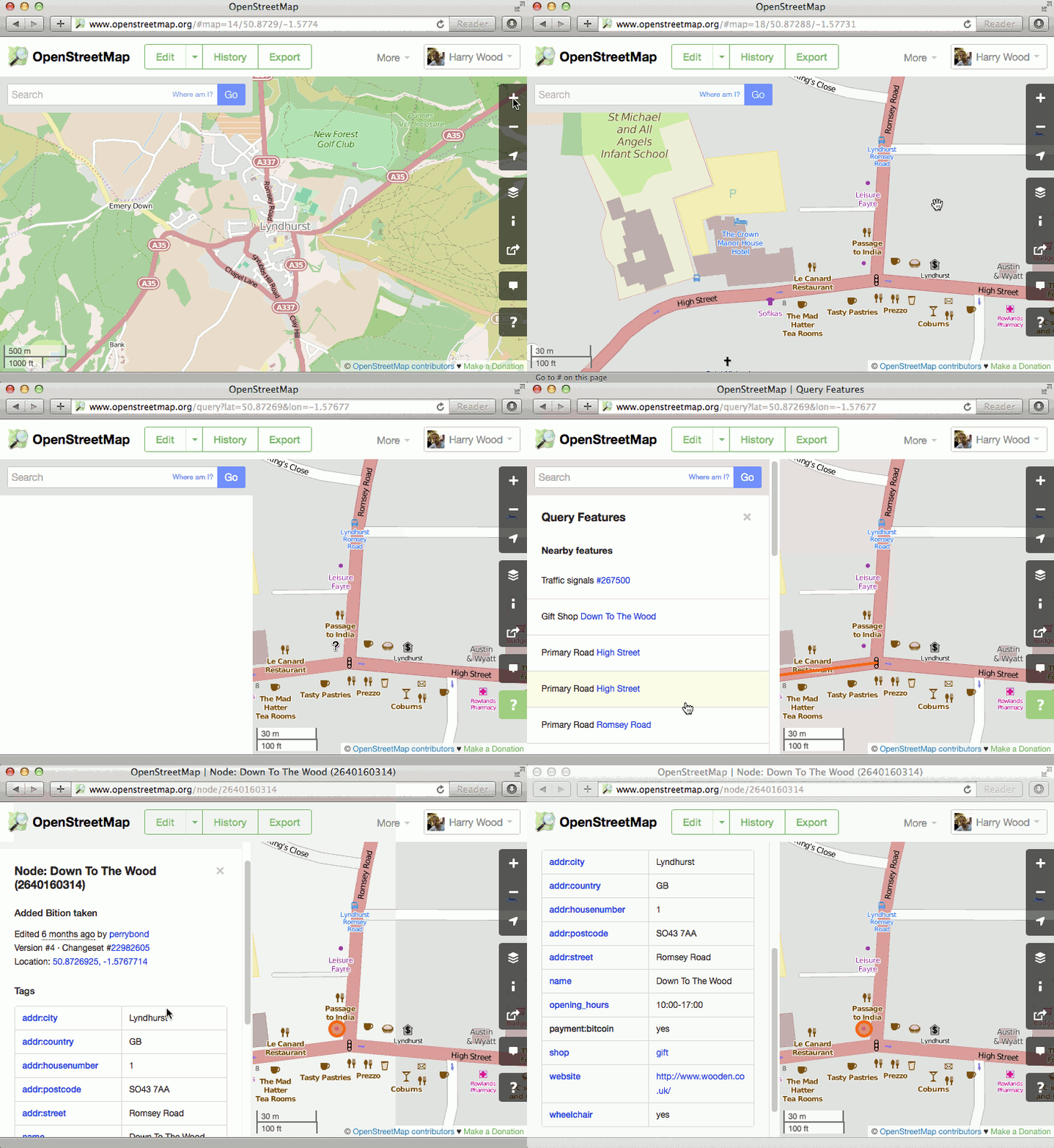
A couple of weeks ago we mentioned a brand new feature on the OpenStreetMap.org homepage. On the right hand side we have a new “?” button which lets you query the map.

  • On openstreetmap.org, zoom in somewhere
  • Click the “?” button to enter query mode
  • Click the map on something you are interested in
  • Hover over the results, and choose one to find out more

query_tool

When you query a spot on the map, this new tool will retrieve nearby points of interest from the OpenStreetMap database, and let you quickly drill down to all of the detailed tagging information we have in that database.

More than a map

This new tool helps highlight a crucial point about OpenStreetMap. It’s so much more than just a visual map. OpenStreetMap is a rich database of geo-located information, only some of which is visible on the “standard” view of the map. Other information is visible via different layers (such as cycle routes presented on the cycling layer) and all of the data can be viewed by enabling the “map data” layer (also on the layer picker panel) but this query tool offers a new window into the OpenStreetMap data, and a new way to discover all the details our contributors are adding to the database.

For developers this data opens up a world of possibilities. All the data is available to download for free.

State Of The Map – Thanks

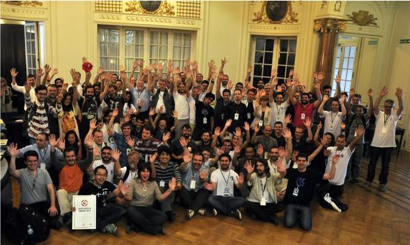
Last week the OpenStreetMap community came together for their annual conference “State Of The Map”

We need to say a huge thank you to all the people involved in organising this year’s conference, including Henk Hoff, Gonzalo Gabriel Perez, Fernando Sanz, and Nicolás Alvarez. They battled various problems, and came out with a triumphant success!

A big thanks also to this year’s State Of The Map Sponsors:

sponsor logos

As it has been in previous years, the conference was wonderful meeting of OpenStreetMap friends, a showcase of diverse modes of map use/contribution, and a melting pot of ideas to take the project forwards. Another big thank you to all those who presented. We will be aiming to publish videos of the talks (always more easily said than done) [update Videos starting to appear here There are already some photos on the ‘sotm14’ flickr tag. The program on the SOTM 2014 wiki page links off to various wiki-editable session sub-pages. Please feel free to edit these pages to add links to slide-decks and other coverage.

Besides the general buzz and exciting talks, there were a couple of important extra things coming out of the conference:

OpenStreetMap Foundation Election Results

As has been the the norm in the past, we held the OpenStreetMap Foundation Annual General Meeting during the SOTM conference, and this included electing a new board. Frederik Ramm was re-elected, and we elected Kathleen Danielson and Paul Norman replacing Matt Amos and Simon Poole who were stepping down.

Congratulations to the new board, and thanks to all the candidates and organisers of this election. More election details on the wiki

New feature ‘?’

As has also been the norm at past conferences, OpenStreetMap developers have prepared a little something special as a new feature to be launched on the weekend of the conference. This year they’ve added a new ‘?’ button on the right hand side of the openstreetmap.org front page. Didn’t notice? Give it a try! More details coming soon.

New OpenStreetMap Latin America

Also during the conference there was a meeting of the brand new OpenStreetMap Latin America group. They have recently established themselves with a new ‘talk-latam’ mailing list and they are planning a “State Of The Map Latin America” conference, to join the set of local spin-off conferences held around the world.

This is fantastic news, and a great result to come out of our visit to Buenos Aires. We have aimed to organise the annual conference in a variety continents, to help spread OpenStreetMap enthusiasm to different corners of the globe. So this kind of group-forming and general boost is exactly what we are aiming for. But in fact the OpenStreetMap community of South America has always been quite impressive, so it’s only fair that the conference came there this year. And what a joy it was! Buenos Aires is a beautiful city, and the Argentinean OpenStreetMap contributors were wonderful hosts for State Of The Map 2014.

Server maintenance – 26th October

Some OpenStreetMap services will be off-line on 26th October 2014 for a planned maintenance period.

The OpenStreetMap Foundation, Operations Working Group have scheduled a short maintenance period which will occur from approximately 11:00 to 12:30 UTC, during which time the database will be offline.

This will mean you cannot use OpenStreetMap editors to load or save map data. The “standard” view of the map will remain available, but various other services will be impacted during this 1½ hour stretch. More specific information on services impacted. Actual outage times may vary within the service windows described above.

Thank you, in advance, for your patience and understanding during the maintenance window.

Thank you, as always, to the Operations Working Group, for their tireless efforts that keep OpenStreetMap services working smoothly.
Buenos Aires in 3 weeks

In three weeks from today the international OpenStreetMap conference “State Of The Map” comes to Buenos Aires, Argentina.
stateofthemap.org

We shall be announcing the programme very soon, it’s taking us a while to process all the fantastic session submissions we received. Rest assured we have a great line-up in the making, with our unique blend of talk topics around cartography, community, technology, and local perspectives.

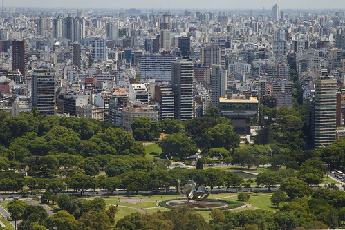
Argentina, gira Caribe y Sur AméricaBuenos Aires photo cc-by-sa2.0 Ricardo Patiño

There are, of course, OpenStreetMappers throughout the globe, so it’s a shame we haven’t taken the international conference to the southern hemisphere before. In three week’s time we’ll be putting that right! A long journey for a lot of people, but (important geography fact) in the southern hemisphere November is spring/summer time! Book your flight now! (conference tickets are still available) Buenos Aires promises to be a superb destination for the annual gathering of our OpenStreetMap community.

OpenStreetMap Image of the week

Every week we pick an OpenStreetMap “Image Of The Week”. The featured image appears on the main page of the wiki.openstreetmap.org site. Here are the images from so far in 2014:

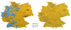
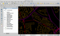
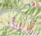
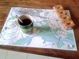
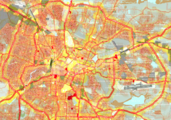
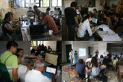
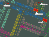
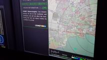
CrisisCamp DC Typhoon Haiyan.jpg Konsolidierung der PLZ-Relationen in Deutschland 2013 vorher nachher.png Nfgusedautoparts gps 1000x664.jpg Mapping in Senegal.jpeg QGIS tram lines black.png Sochi Olympics Krasnaya Polyana Mountain Cluster.png Pavia place mat.jpg Bengaluru Urban Area Map.png ManaguaMapping Feb 2014.jpg 2014 Cochabamba workshop.jpg Priozerka osm.jpeg ExampleColouredStreets.png UbimetUseOSMforF1WeatherRadar.jpg Brian prangle document freedom certificate-s.jpg HOT changesets west africa 2014-04-05.png Sotm-fr-2014.jpeg SOTM US 2014 group photo.jpg Toulouse sketchy map sample.png 2014 London HOT Congo Mapathon mappers and teachers.jpg OSM2World-Luebeck-Hauptbahnhof.jpg Dutch building and addresses import alt2.jpg Linuxwochen Wien 2014-05-08T17-41-18.jpg ID editor at Chicago Civic User Testing.jpg Telangana India.png SOTMEU 2014 montage.jpg 2014 Natori mapping event.jpg OSM PopArt 2014.png Cassini style.png Markstein.png Gorbals 3d.jpg Fukushima Japan Poster.png HOT missing maps 2014 mapping action.jpg 10JahreOSM Passau.jpg
 

That’s just 2014, but we’ve been doing this since way back in 2006, forming an archived collection which you can browse. It’s a fascinating and inspiring mixture of maps and map styles, websites and software, photos of mapping parties & other events, and various other types of images.

If you come across an image which you would like to put forward as image of the week (either your own image or somebody else’s), head over to “Featured image proposals” and edit that page to make your suggestion there. Anyone can join in with the process of investigating, improving and discussing the suggestions, and picking an OpenStreetMap image of the week each week.

We’re 10 today!

On our tenth birthday we can look back on a year in which our free and open world map has gone from strength to strength, being deployed by large companies such as Apple, Mapquest and Foursquare, and relief organisations such as Médecins Sans Frontières (Doctors Without Borders) and the American Red Cross.

But now we can look back on ten years. In 2004 one man set out with a bicycle and a GPS recorder. Back then creating a map of the world from scratch seemed crazy to many people, but even so, people joined the effort. A few people at first, but 10 years later OpenStreetMap has grown to a global community with over 1.7 million registered members, with around 3,000 members editing the map every day. This map built by volunteers is now used for serious work: for example Médecins Sans Frontières works with OpenStreetMap to help its doctors in West Africa keep track of the current ebola outbreak.

We’re celebrating in cities all around the world : Toronto, Montréal, DC, Denver, Seattle, Athens, NY, LA, Phoenix, Lexington, Nashua, Cleveland, St Petersburg (US), St Petersburg (Russia), Moscow, London, Amersfoort, Birmingham, Barcelona, Dublin, Budapest, Passau, Paris, Zagreb, Zürich, Bangladesh, Taipei, Fukushima, Tokyo, Muko, Awaji, Ichinomiya, Hamamatsu, Cochabamba, and Santiago.

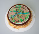
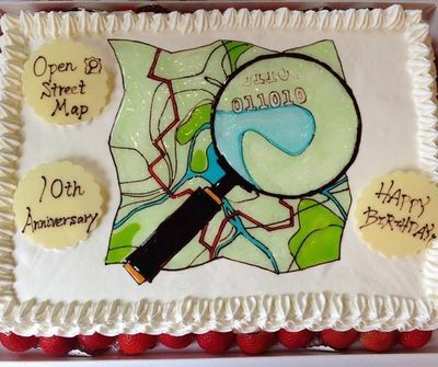
The Japanese community probably have the best cake:

…but the night is still young.

So in honour of ten years of OpenStreetMap, please join us to raise a glass (Make it a virtual glass if you can’t make it to one of these party locations)

Happy Birthday OpenStreetMap!

OpenStreetMap at Open Knowledge Festival

okfest-2014
Next week OKFN’s Open Knowledge Festival takes place in Berlin bringing together open data practitioners from all over the planet. There is also a flurry of activities around OpenStreetMap, here is a run down. Are you in Berlin? Come out and meet other mappers.

…and plenty more open map data possibilities related to other sessions on the programme

There’s other conferences where OpenStreetMap will be making an appearance coming up soon too, including:

Check out the wiki events list for these and many more events, and stay tuned for more news about our OpenStreetMap conference(s)


OpenStreetMap tags and taginfo

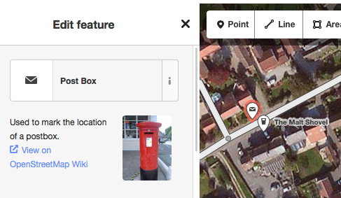
OpenStreetMap data includes “tags”, name=value pairs which provide a free-form folksonomy approach to classifying features. To get started mapping you don’t need to know about these. With a our easy to use “edit” interface, you can simply select from a range of feature types. For example if you select “post box”, then a node will be created with the “amenity=post_box” tag set on it.Selecting Post Box in the id ditor

But as you learn to contribute data, and certainly if you try to use OpenStreetMap data, you’ll most likely need to understand tags. To help you do this, there are a number of resources available.

You can search the OpenStreetMap wiki for tag documentation such as the Tag:amenity=post_box page. This documentation is created by the community, but rather than regarding this as the final word, understand that these wiki pages form part of a process to reach agreement on tags. You and everyone else in the community can help edit those pages to ensure the documentation is more exhaustive and more accurately reflecting the tags used by the mapping community.

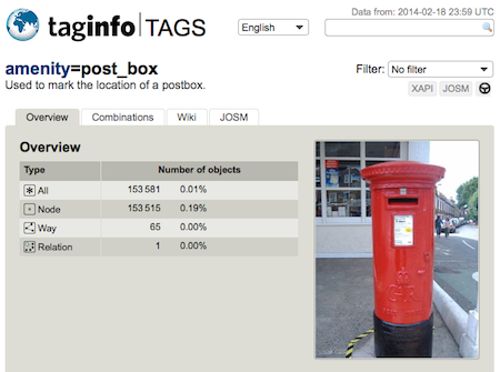
But for a more direct view how tags are used by the mapping community, we have taginfo. This system counts up the ocurrances of tags in the OpenStreetMap database, and presents these statistics to give us a feel for which tags are most popular, and how many of these features we have mapped. For example, just now we see the amenity=post_box tag appears 153581 times in our database!

taginfo post box screenshot

taginfo also mines the wiki for information, finds icons used in JOSM, provides links to Overpass Turbo, XAPI, and JOSM launcher, and generally brings information about tags together to connect different sources and users.

This system was developed by Jochen Topf several years ago, but building on similar ideas such as TagWatch and TagStat which came before it. These days taginfo is a crucial tool for understanding tags, and yesterday it was rehosted on OpenStreetMap Foundation servers with various changes described by Jochen on his blog

Seasons Greetings

Seasons greetings to all OpenStreetMap contributors!

OpenStreetMappy Xmas Biscuits

…and I hope you all had an OpenStreetMappy Christmas.

I know I did. On Christmas day I managed to use OpenStreetMap for our family Christmas walk, and contributed a bit more data (More on that here)

What other Christmassy map happenings have happened?

How was your OpenStreetMappy Christmas?