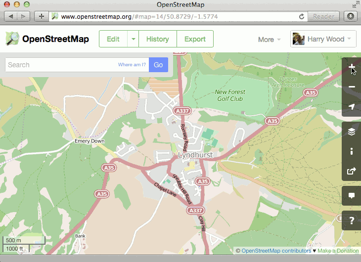
A couple of weeks ago we mentioned a brand new feature on the OpenStreetMap.org homepage. On the right hand side we have a new “?” button which lets you query the map.
- Click the “?” button to enter query mode
When you query a spot on the map, this new tool will retrieve nearby points of interest from the OpenStreetMap database, and let you quickly drill down to all of the detailed tagging information we have in that database.
More than a map
This new tool helps highlight a crucial point about OpenStreetMap. It’s so much more than just a visual map. OpenStreetMap is a rich database of geo-located information, only some of which is visible on the “standard” view of the map. Other information is visible via different layers (such as cycle routes presented on the cycling layer) and all of the data can be viewed by enabling the “map data” layer (also on the layer picker panel) but this query tool offers a new window into the OpenStreetMap data, and a new way to discover all the details our contributors are adding to the database.
For developers this data opens up a world of possibilities. All the data is available to download for free.
Hey,
There’s a typo in the link to osm.org. You typed 3 “e”s.
Thanks. Fixed!
This is a great addition, thanks to everyone involved. For the future, I’m hoping that we can eventually offer a more user-friendly presentation of the data as an alternative view to the list of raw tags.
Thank you for this feature. It has already enabled us to eat more cake!
How? You can get current live running times of buses round here (as distinct from their theoretical timetabled times) over SMS. That requires specifying the stop number of the bus stop you’re interested in. OpenStreetMap’s new query feature makes it trivial to look up a bus stop’s number in advance, rather than waiting till we’re at the stop and able to read it off the sign.
Which means we can delay leaving an event until we know a bus is actually near — meaning more time to eat cake, and less time standing in the cold waiting for a late-running bus.
Thank you to everybody involved in implementing the query feature, and to OpenStreetMap users in Leeds who have diligently added the numbers for all our bus stops.
What a fabulous anecdote Symlers! It’s an on-click API!
This is really excellent. It saves me having to go into the editor to find out what’s going on when debugging software that uses OSM data.
Hello,
How can these features be translated into the local langages? Translatewiki says there is nothing needing translating.
https://translatewiki.net/w/i.php?title=Special:Translate&group=out-osm-site&filter=!translated&action=translate
JB.
Pingback: weekly 228 – 25.11.–01.12.2014 | weekly – semanario – săptămânal – haftalık – 週刊
Pingback: OpenStreetMap – mer än en karta | Jonas Gustafsson
Nice new feature!
Still not clickable POIs, but it will for sure come one day 😉
very nice