The June solstice is upon us, which means the seasons are changing — and with that, lots of opportunities to map, no matter which hemisphere you’re in!
If you’re in the northern hemisphere, why not take a look at your local outdoor fun: maybe it’s swimming pools, beaches, hiking and biking trails, and the like. The parks and playgrounds might be busy, as well as sports pitches, places to camp, national parks, wildlife parks and more. Midsummer is also a holiday in many countries, why not map the local traditions like permanent maypoles? Or mapping your local ice cream parlours might be fun.
And if you’re in the southern hemisphere, it’s winter! It may be a bit colder, and good weather for winter sports like skiing, or maybe just staying indoors at your local pub, restaurant, indoor pool and so on. Are your local favorites on the map already? There are also winter festivals all over the hemisphere, have you mapped them? And in warmer climates, it may be nice weather for exploring outside, going surfing, taking road trips and more.
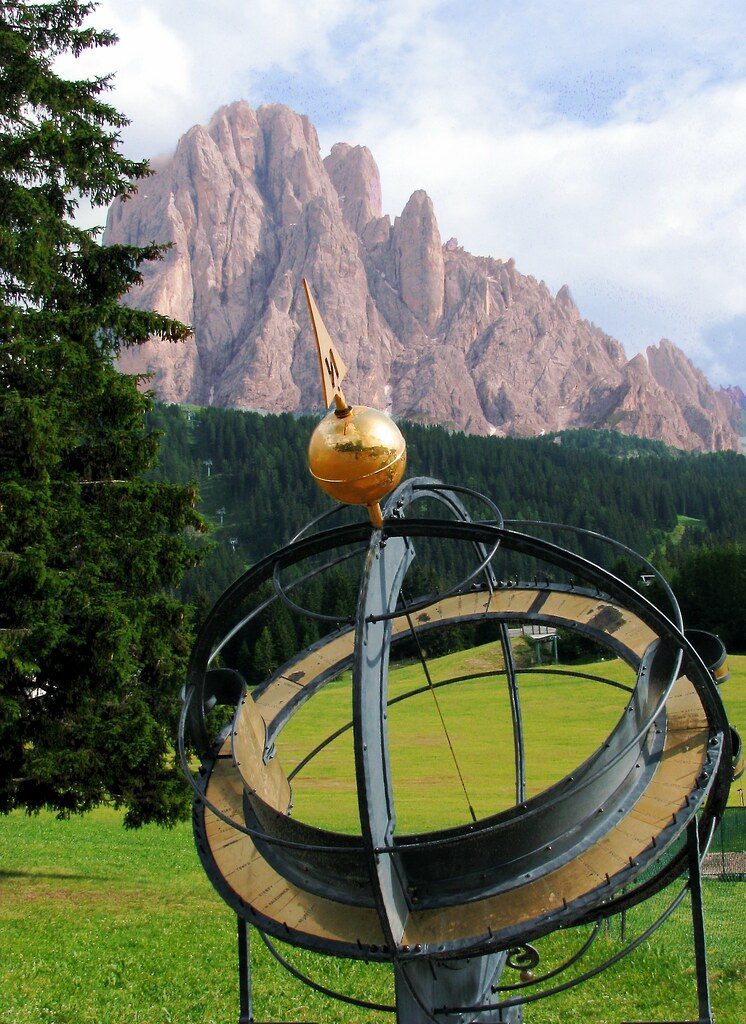
Speaking of the solstice, are the observatories and other astronomical facilities in your area mapped? Is the sundial of the cover photograph mapped?
You can also try recording GPS tracks or taking GPS-tagged photos of your outings to help yourself and others add more data to the map. Or you can even look for things named summer and help complete the map there! For example, the hamlet of Summer, Algeria, the Summer Palace in Beijing, the Summer Place pub in San Francisco and the Summer Hill Creek in Australia. Or maybe there are locations named Winter near you.
Do you have any other ideas for seasonal mapping? Let everyone know in the comments.
This post is also available in: Spanish