Monthly Archives: April 2008

Any volunteers?

As the OpenSteetMap project rolls on and continues to grow exponentially (32,500+ registered users now!) the number of administrative tasks that crop up for the Foundation to do each month grows and it becomes more and more difficult for the management team to get around to dealing with everything and to advance the project into new areas.

We would like to invite anyone who wishes to get involved on the administrative side of the project to get in contact. Even if you can only devote a small amount of time it can be put to good use. What is most important is that you can offer the time on a regularly basis. If it is just a couple of hours next week and nothing after that it’s difficult to get a task rolling and see it through.

Some of the areas that the Foundation is working on or are organising currently include:

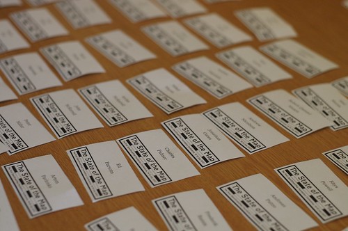
    The State of the Map Conference
    The proposed change in OSM Licence
    Finances and fundraising for the project
    Managing the OSMF membership
    Local and targeted initiatives
    Dealing with offers of support and queries
    Supporting and promoting the community

There are however many other areas we wish to do more in, especially on things like OSM Merchandising and greater outreach around the world to name just two.

If you are interested or curious about getting involved on the administrative side of the project, then please get in touch with the secretary, Andy Robinson (blackadder) or one of the other board members. You will find us a warm and friendly group and you would be most welcome.

OSM Super-Strength Export

One of OpenStreetMap’s greatest advantages is that we don’t just give you a beautiful draggable map – we give you the data, so you can do what you like with it. Well, this weekend, that just got a whole lot easier.

OpenStreetMap now has an ‘Export’ tab, joining ‘View’ and ‘Edit’ at the top of the screen. It gives you an instant way to get the map data in a format you want.

Want a static map for your blog, without having to spend hours fiddling with JavaScript? No problem – just export in PNG or JPEG. Want a map for a book? PDF or SVG are the perfect formats – fully vectorised, so they look smooth on high-resolution printers at any scale, and are easy to restyle or edit. Want to play with the raw data? Get it in our easy-to-parse OpenStreetMap XML format. Here’s an example of a simple PNG streetmap generated in just two clicks.

And this is just the start – our mailing lists are already buzzing with possibilities for new formats, such as Adobe Illustrator for cartographers, or shapefiles for GIS professionals.

With this new feature, the difference between OpenStreetMap and the “corporate” mapping sites becomes a whole load clearer. Other mapping sites’ agreements with their data providers (such as Navteq, TeleAtlas or national mapping agencies) simply wouldn’t allow them to give the data out like this. With OSM, we actively encourage it!

The work behind this was done by Tom Hughes, winning OSM’s coveted Lolcat of Awesomeness developer award for the fifth time.

Copyright Easter Eggs

Commercial map providers have for years used ‘easter eggs’ or as cartographers know them ‘trap streets’. These are fake streets, churches and sometimes villages in maps that are put in on purpose. If you copy the map then the map owner knows it was you because you couldn’t possibly have mapped these fake features.

OSM has a large wiki page on the subject including this picture of an A-Z map:

Notice ‘Lye Close’ ? This pun has been put there as a trap street, there is no actual street there.

In the license process, the OpenStreetMap Foundation has recognised the need for a license not just based in copyright law. Like large commercial map suppliers we are moving toward a license based upon copyright, database and contract law. These ‘three pillars’ are the same foundations upon which many data sets are sold.

Similarly and in order to professionalise OpenStreetMap due to the increasing completeness and therefore value of the OpenStreetMap data we need to protect copyright. The OpenStreetMap Foundation has decided to begin a process of entering trap streets in to our data. These will be in out of the way places so that they are not noticed, but if that data turns up in a TomTom or similar device then we will be able to prosecute for infringing our data.

This process was decided on secretly at the first OSMF board meeting over a year ago and many hundreds of trap streets are now present. The OSMF has decided to go public now because we have completed an entire ‘fake village’ and placed it in southern Germany. These trap streets and the trap village are un-deletable in the API due to special code to protect copyright.

The OpenStreetMap Foundation Board feel this is a good compromise between on the one hand having only real streets and no copyright protection and on the other enforcing all downloads of data with DRM mechanisms which were found impractical. The community impact is now to be measured, now that these methods and tools are public.

The Board would like to invite discussion on this exciting new method of protection, and will follow comments to this post closely.

The OpenStreetMap Foundation Board.