Mikel shows you how.

Monthly Archives: October 2007
Better than the commercial product?
Critics of OpenStreetMap have in the past used various arguments for why they believe the project can never be a success. Often quoted is the concern about data accuracy and completeness and another is about how changes in our world are noted and managed. Well it’s clear we needn’t worry too much as some great work by OSM contributor Dair Grant clearly shows.
Dair made a comprehensive and detailed comparison of his completed map for Haywards Heath, Sussex with that of the TeleAtlas derived Google Map and found 89 apparent differences, that’s an astounding number for a small town.
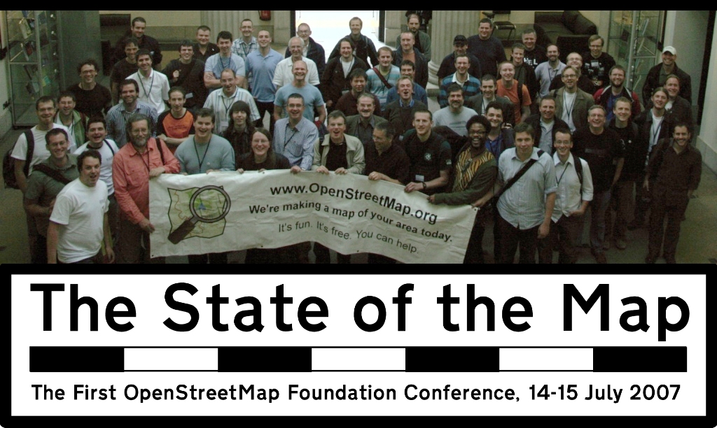
SOTM 2008 – Call for venues
July 12th-13th, 2008. Put that date in your diaries for next year’s State of the Map conference. The location? Well, that’s where you can help.
The OSMF has not yet settled on a location. It doesn’t have to be in the UK again – but it could be. It doesn’t have to be ‘terra incognita’ for OSM (not much mapping was done at Manchester) – but, again, it could be. But here’s what it does need to have:
Like everything else in OSM, this is a call for volunteers – but the OpenStreetMap Foundation will, of course, pay reasonable expenses involved in arranging the venue. If you’re prepared to help OSM by putting the time in, you won’t be out of pocket.
SOTM 2008 on the OSM wiki | SOTM 2007 website
SOTM 2007 was a huge success. Let’s make 2008 better still.

Demise of the humble segment
Its official. As of Sunday 7th Oct 2007 the OpenStreetMap segment is 410 Gone. It had a brief and at times difficult life sandwiched between nodes and overshadowed by ways. But shall we miss it? I think not. For the uninitiated, OSM moved to the new 0.5 server code at the weekend thanks to the hard work done by Frederik, Gabriel, TomH and others. The data model now consists only of the node and way plus the new Relationships (relation), which offers a whole new data creation experience. The majority of the OSM platform tools have been migrated to support the API v0.5, which is not backwards compatible with v0.4 tools. Both potlatch and JOSM work with the changes although for JOSM you will need to download the latest version.
Animations from Leeds
Check out Tim Waters (chippy) animations of GPS traces during the recent Leeds mapping party:
