Author Archives: Chris Fleming

What’s in a name? Naming things in OpenStreetMap

a Road Sign, Pointing to the right is HAM (1/2) and below than SANDWICH (3) To the left is Finglesham (1/2) and DEAL (4)
Ham Sandwich sign by Oast House Archive. © Copyright Oast House Archive and licensed for reuse under CC BY-SA 2.0.

Whether you are from, Saint-Louis-du-Ha! Ha!, Springfield or Ea names are important. They help us identify where we are, where we are from and where we want to go to.

Almost everything has a name and OpenStreetMap volunteers have mapped 115 million names.

Local name of features on www.openstreetmap.org

In OpenStreetMap, the verbal identifier with which people refer to something is documented by the name= tag. This usually is the most common name in the local language and is the most obvious name of the feature. For example, if you are in France and map a road called “Rue des Beaux-Arts”, you add name=Rue des Beaux-Arts so that everyone knows what that road is called.

There are many map styles based on OpenStreetMap data. On www.openstreetmap.org, we display “osm-carto” style by default, with a layer switcher for many others.

There are a few simple rules that the OpenStreetMap community follows, including:

  • name= is typically the commonly used name in the local language. A street in Paris has as name= its French name, not the name in English.
  • name= should be verifiable.
  • name= should be a proper name – not a description or a reference id.

The recording of names is a complex issue, but these are the main rules we use.

The OpenStreetMap community tries to ensure that the name= tags in the OpenStreetMap database are correct, for mapped features with names such as shops, places, streets, lakes or even oceans.

Additional names of features on www.openstreetmap.org

In addition to the local name, set by name=, objects in OpenStreetMap very often have one or more names. Such additional names are classified by their function – how they are used in contrast to the local name, or what purpose they serve for data users. We can store old names, local names, official names, and alternative names.

Both local and other name keys can also be suffixed with a language code. If you want to add a name in another language, you use a separate tag like name:en= for English or name:fr= for French, and leave the name= tag in the local language. The ISO language code system we use allows more details, such as the writing system used, or even the region and dialect. The English spoke in Britain isn’t the same as that spoken in Australia.

Therefore, the OpenStreetMap database contains features with multiple names.

On the default layer of the www.openstreetmap.org website (osm-carto) we don’t show different names based on where you are, this means everyone will see the name of the feature in the local language. It’s important that the website has a layer where this is the case. This is mostly a technical reason.

While only name= is displayed on the default layer of www.openstreetmap.org, there are additional layers on the website and there is ongoing work on the new Vector layer to show names in your local language, but more about that in a later post. There are other map styles showing names only in German, or only in English.

One database – unlimited maps: create the map you want

It is important to note that OpenStreetMap data is offered to everyone for free, under the ODbL licence, and used for any purpose – including commercial usage.

It is possible to produce your own maps which, for example, show only a subset of the mapped names or features. The www.openstreetmap.org website’s main purpose is to facilitate OpenStreetMap mappers and not to be a single map for every use. OpenStreetMap data is used by individuals, big companies, game companies, grassroot organisations, governmental agencies, humanitarian groups and many others and the data can be used to create unlimited maps and for other purposes.

What about official names?

Mostly the official name will match the commonly used name of a feature. Sometimes people will continue to use the original name, so our name tag will stay. We can store the official names of mapped features when different, in the official_name= tag

In cases like the executive order related to Lake Ontario, it’s not unusual that there will be a community discussion and in this case the tag official_name:en-US=Lake America has been added to the lake on OpenStreetMap, to record the new official en-US name. The primary name of the lake remains the same. Since a lot of people still use the name “Lake Ontario” we keep it as name. The addition of the official_name:en-US=Lake America name means that anyone searching for Lake America on www.openstreetmap.org and apps/services using OpenStreetMap data which have all the feature names, will find Lake Ontario.

The Name of the Game

OpenStreetMap’s flexible data model means that if you want to show a map, with certain names, or certain langauges, we provide a world-wide freely-usable database for you to use. Just adjust your map style to prefer one name tag over another, and you’ll automatically get the map you want.

OpenStreetMap’s community base, and non-commerical freedom, international project structure, and “on the ground rule” means that if you use the name tag, then the names on the map will be based on what people are actually using.

When it comes to maps, OpenStreetMap is the only name in town!
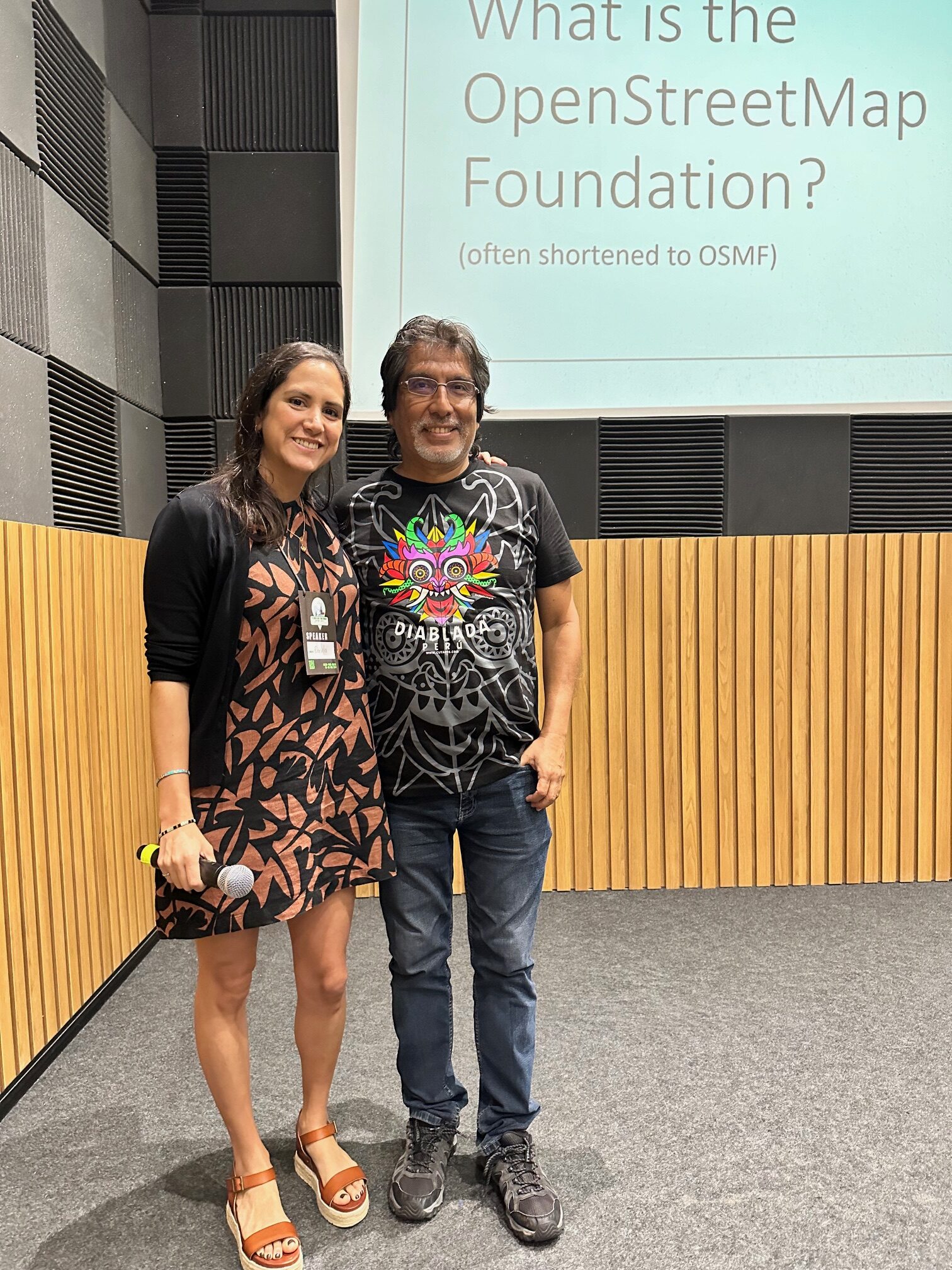
Attending the State of the Map Latin America 2024

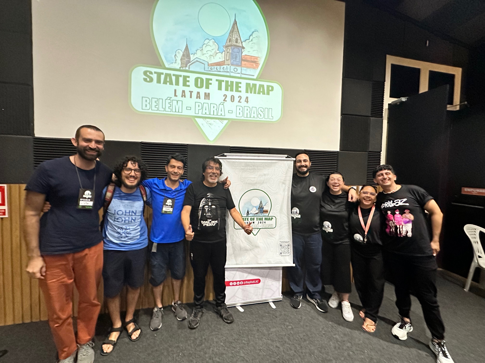
Last December, I had the privilege of attending State of the Map Latin America (SOTM LATAM) in Belém, Brazil. I want to first share my gratitude to the entire community. I may be biased because I am latina myself, but latinos sure know how to make one feel loved and welcomed.

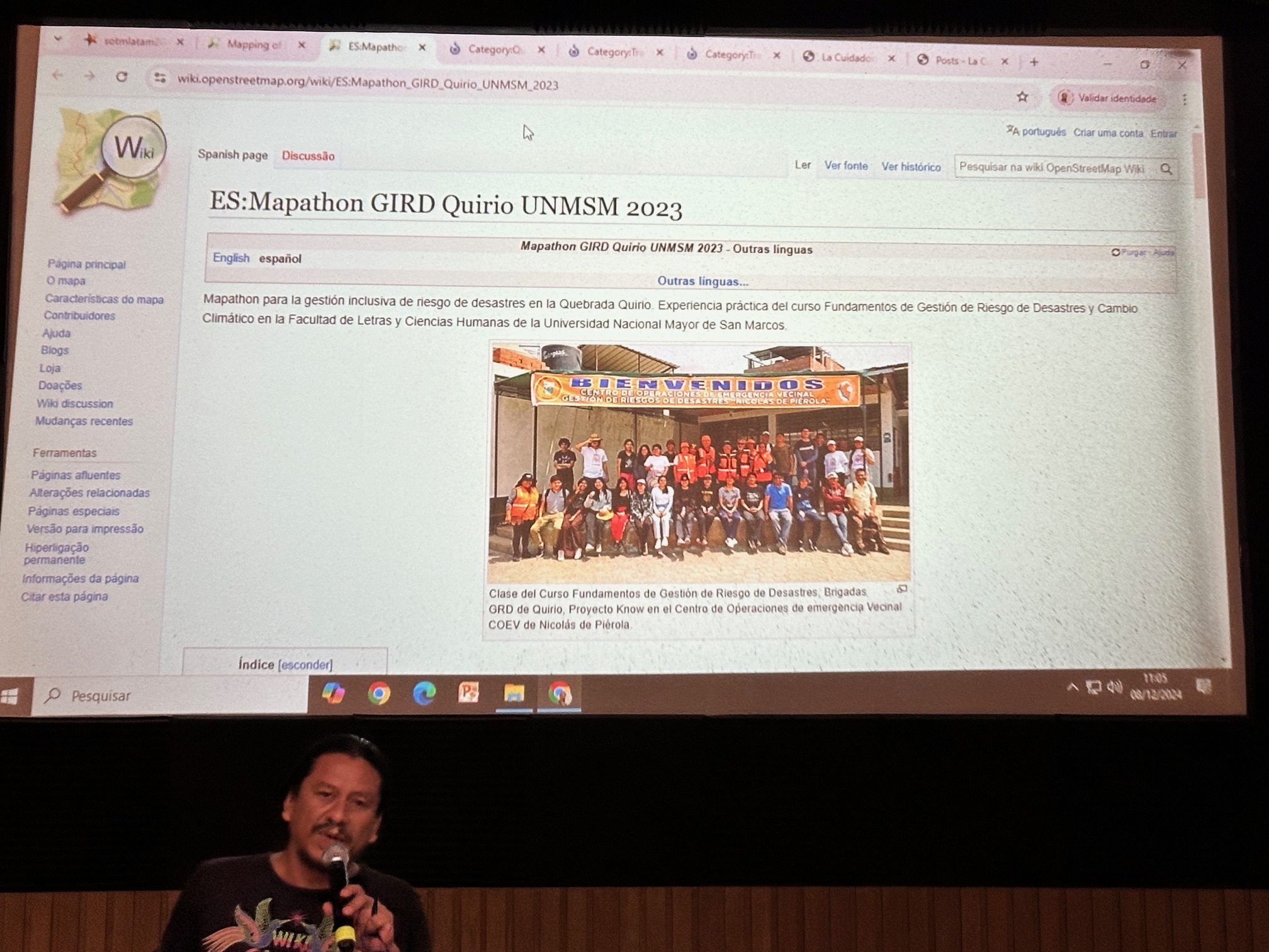
This was my first time at SOTM LATAM, and I was deeply inspired by the energy, passion, and dedication of the OpenStreetMap (OSM) community in this region. The event showcased an impressive array of presentations and workshops, from mapping remote areas of the Amazon to using innovative tools and techniques for open mapping. I am so grateful to everyone who shared their work and insights, broadening my understanding of the challenges and opportunities in Latin America.

As a Director of the OpenStreetMap Foundation (OSMF), I had the opportunity to present about the role of the OSMF, the purpose of the Board of Directors, and how we strive to support the global OSM community. Engaging directly with attendees highlighted how essential it is for the OSMF to maintain stronger connections with regional communities. I was surprised to learn that this was the first time an OSMF Board member had attended a SOTM LATAM. Representation matters, and I am committed to ensuring this is not the last time. Strengthening our communication channels with the LATAM community is vital, and I am eager to build more meaningful and consistent engagement.

Open Conversations with the Community

A key part of this experience was the opportunity to hear directly from participants. During the event, an open online collaborative document page was shared, allowing attendees to express their thoughts, feedback, and even grievances with the Board. Some of the valuable insights included:

Regional Representation on the Board: There were discussions around creating dedicated Board seats for representatives from different regions to ensure equitable representation, particularly for communities that may struggle to gain sufficient global votes.

Lack of Awareness of Working Groups: Many attendees expressed that they were unaware of the existence and functions of OSMF Working Groups. Promoting these groups and encouraging participation from Latin American communities could strengthen regional representation and collaboration.

First Formal Board Presence: For many, this was the first time they had the opportunity to hear directly from a Board member. The engagement was positively received, and it was clear that there is a desire for more consistent interaction between the OSMF and Latin American communities.

Recognizing Regional Entities: Some established and active communities in the region are not formally recognized as official OSM chapters. This can create challenges in accessing grants and participating in global events. Greater support from the OSMF could bridge this gap.

Building Strategic Partnerships: Participants highlighted the potential for OSMF to collaborate with independent media organizations in Latin America, especially within data journalism, indigenous journalism, and environmental reporting. Strengthening these connections could increase OSM visibility and promote responsible use of open geospatial data.

Funding for Training and Capacity Building: Accessing financial resources for training journalists and other community members on OSM tools was identified as a critical need. Expanding funding opportunities for local projects could accelerate mapping efforts and amplify the impact of OSM data.

Moving Forward

The feedback shared during SOTM LATAM was invaluable. Meaningful participation and representation of all regions are essential for the growth and success of OpenStreetMap. We need to be more engaged with this and all communities. If you have any suggestions our communication channels (1;2;3;4 ) are always open.

To everyone I had the pleasure of meeting, thank you for your warm welcome and for sharing your perspectives. If you have further questions, comments, or feedback about the event or the OSMF, please feel free to reach out. ¡Obrigada, SOTM LATAM!

SOTM LATAM 2025
I’d like to also share with you all that SOTM LATAM 2025 will be in Medellin, Colombia from September 4th-6th. This is a great opportunity for all to get to know this amazing OSM Community and learn about the inspiring work they are doing.

Additionally, I’d like to ask our sponsors and contributors to consider becoming sponsors of this event. This is an amazing opportunity to become involved and support the Latin American Community. You can find more information here: https://www.osmlatam.org/2025/03/22/convocatoria-a-patrocinios-sotm-latam-2025/

Dani Waltersdorfer
OpenStreetMap Foundation board

MapMyDay

Today is MapMyDay, a campaign raising awareness of barriers encountered. These include people with wheelchairs, walking aids and pushchairs. 
The campaign uses http://wheelmap.org/ app and website to add accessibility information into OpenStreetMap.

mapmyday

Barriers affect many people: Elderly, children, families as well as those with disabilities. Stopping them from being able to access places taken for granted by most people.  By mapping these barriers, the ‘MapMyDay’ campaign is starting a worldwide movement to call attention to these, with the intention of removing them.
Download the app from mapmyday.org.  As you go about your day make a  difference by recording if the places you visit are ‘fully’, ‘partially’  or ‘not wheelchair accessible’.