Author Archives: Richard Weait

Project of the Month: Buildings

Media_httpuploadwikim_efidd

Adding buildings to OpenStreetMap has been difficult in the past.
Collecting a GPS trace of a building yields poor results because the
building interferes with GPS reception. But buildings can be
interesting to have on a map. Large collections of buildings in cities
can look very impressive. Lone buildings in remote areas can be
important landmarks for navigation. Or a shelter from bad weather.

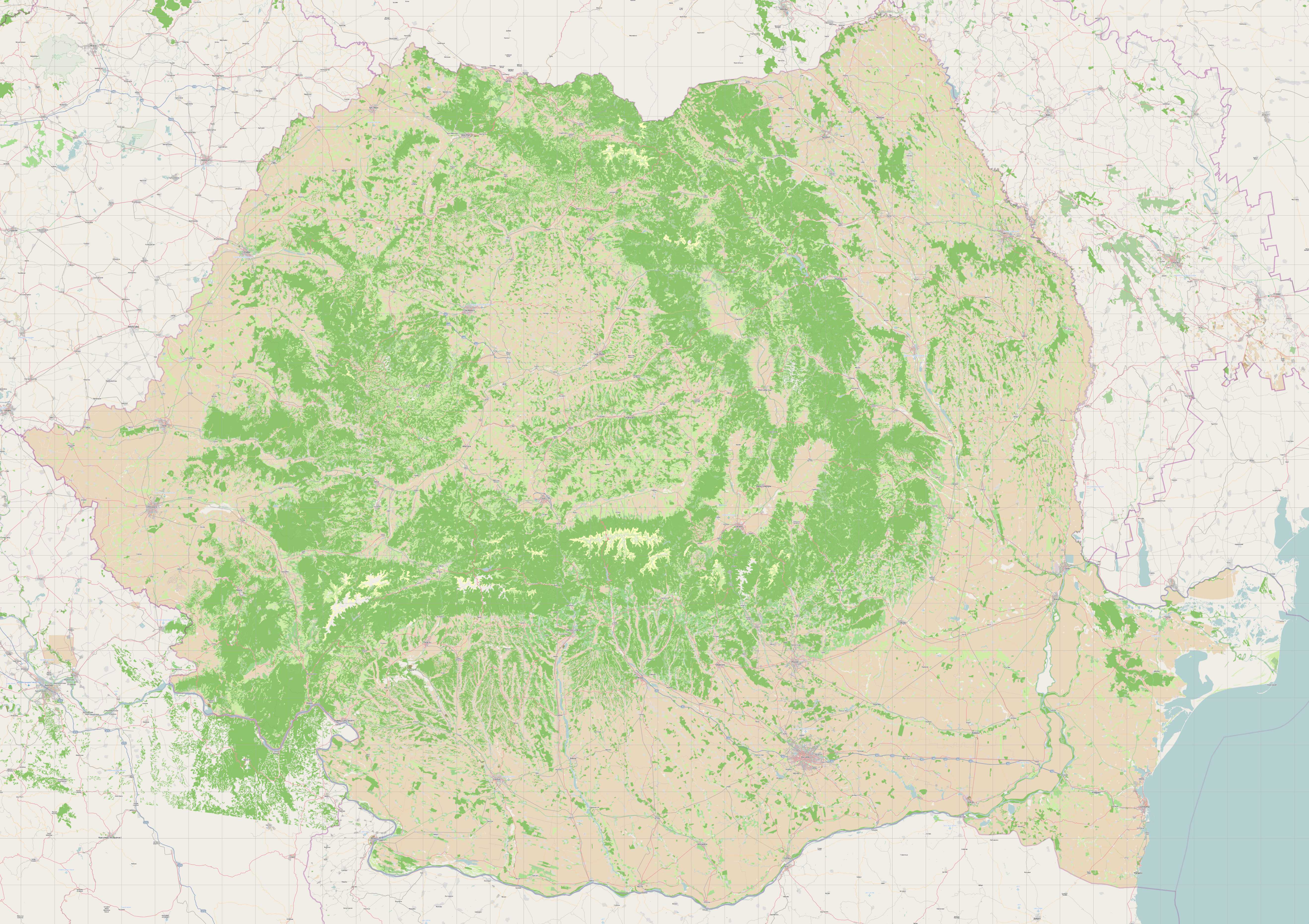
There are more than 28 million buildings in the OpenStreetMap
database. Recent donations to OpenStreetMap contributors of aerial
imagery that permits deriving OSM objects without restriction have
made mapping buildings practical in more parts of the world.

The Project of the Month for February is to add local buildings to the map.

http://wiki.openstreetmap.org/wiki/Project_of_the_week/2011/Jan_26

This is a Project of the Month. Project of the Week returns
next week, while PotM will continue until the end of February. These projects
inspire mappers to contribute data they might not have considered
previously, and allow us to be inspired by the projects of other
mappers.

This is your Project of the Month. Make suggestions. Inspire other
mappers. What is it about contributing to OpenStreetMap that
interests you? Postboxes? Bowing alleys? Share your OpenStreetMap
obession by contributing a Project of the Month.

http://wiki.openstreetmap.org/wiki/Project_of_the_week/Proposals

Timber framed building photo by WikiMedia user Gerbil
http://commons.wikimedia.org/wiki/User:Gerbil
is licensed CC-By-SA
http://creativecommons.org/licenses/by-sa/3.0/deed.en

MapQuest supports OpenStreetMap

A financial donation for OpenStreetMap was announced today on the
OpenStreetMap Foundation blog. This latest donation follows their
dontation in September 2010 and many other activities in the OSM
community. Read about the donation on the OSMF blog.

http://blog.osmfoundation.org/2011/01/26/donation-to-osmf-by-mapquestaol/

The donation from MapQuest is not earmarked for specific use but will
be used to support OpenStreetMap operations. Typically, financial
support for OSM allows the purchase of big ticket items like a new
database server. You can see from the server upgrades page on the
wiki that many other bits and pieces go in to keeping OpenStreetMap
moving smoothly.

http://wiki.openstreetmap.org/wiki/Servers/Upgrades

* note: The server room shown above is not the OSM server room.

CERN server room photo by Torkild Retvedt http://www.flickr.com/photos/torkildr/
is licensed CC-By-SA http://creativecommons.org/licenses/by-sa/2.0/deed.en_CA

Image of the Week: Danish aerial imagery donation

Media_httpwikiopenstr_yrzrw

Fugro Aerial Mapping A/S is a Danish aerial imagery company. Fugro
has shared their 40cm Danish photography with OpenStreetMap community
for tracing vector data in to OpenStreetMap

[Thanks to Peter Brodersen and Jonas Häggqvist for making this
happen]. See the project page for more details including how to start
using this aerial imagery for mapping in Denmark.

http://wiki.openstreetmap.org/wiki/Fugro

Project of the Week: Banks and ATMs

Banks banks banks. Not the banks of a river, but financial
institutions. I’ll just run out to the bank for a moment. But which
bank is closest and most convenient? Do you need a bank with
wheelchair access, or with drive through service? Or are you looking
for a late night automated teller machine? We can put all of this
information on the map and that is the Project of the Week. Map your
local banks.

http://wiki.openstreetmap.org/wiki/Project_of_the_week/2011/Jan_19

This is your Project of the Week. Make suggestions. Inspire other
mappers. What is it about contributing to OpenStreetMap that
interests you? Postboxes? Bowing alleys? Share your OpenStreetMap
interests by contributing a Project of the Week.

http://wiki.openstreetmap.org/wiki/Project_of_the_week/Proposals

Bank machine photo by Dave Stone http://www.flickr.com/photos/builtbydave/
is licensed CC-By-SA http://creativecommons.org/licenses/by-sa/2.0/deed.en_CA

Image of the Week: Romanian landuse

Media_httpwikiopenstr_kmzih

Romanian landuse – data from EEA comprises 100K polygons, imported to
OSM December 2010

This is a Featured image, which means that it has been identified as
one of the best examples of OpenStreetMap mapping, or that it provides
a useful illustration related to the OpenStreetMap project.

If you know another image of similar quality, you can nominate it at

http://wiki.openstreetmap.org/wiki/Featured_image_proposals

Project of the Week: Toilets

Where can you go when you need to go? The Project of the Week is to
add public toilets to the map.

http://wiki.openstreetmap.org/wiki/Project_of_the_week/2011/Jan_12

This is your Project of the Week. Make suggestions. Inspire other
mappers. What is it about contributing to OpenStreetMap that
interests you? Postboxes? Bowing alleys? Share your OpenStreetMap
interests by contributing a Project of the Month.

http://wiki.openstreetmap.org/wiki/Project_of_the_week/Proposals

Book photo by Paul Downey http://www.flickr.com/photos/psd/
is licensed CC-By http://creativecommons.org/licenses/by/2.0/deed.en_CA

Project of the Week: Police station

When you need to find a police station, you need to find it Right Now!
The Project of the Week is to map your local police station.

http://wiki.openstreetmap.org/wiki/Project_of_the_week/2011/Jan_05

This is the first Project of the Week for 2011. Last week we
announced the first Project of the Month for January 2011, mapping
libraries.

http://wiki.openstreetmap.org/wiki/Project_of_the_week/2010/Dec_29

This is your Project of the Week. Make suggestions. Inspire other
mappers. What is it about contributing to OpenStreetMap that
interests you? Postboxes? Bowing alleys? Share your OpenStreetMap
interests by contributing a Project of the Week.

http://wiki.openstreetmap.org/wiki/Project_of_the_week/Proposals

Police station photo by Elliot Brown http://www.flickr.com/photos/ell-r-brown/
is licensed CC-By http://creativecommons.org/licenses/by/2.0/deed.en

Image of the Week: OpenPisteMap

Media_httpwikiopenstr_jfczf

Snowsports maps from openpistemap.org with contours and hillshading.
Hitting the slopes this winter? Check out WikiProject Piste Maps
http://wiki.openstreetmap.org/wiki/WikiProject_Piste_Maps

This is a Featured image, which means that it has been identified as
one of the best examples of OpenStreetMap mapping, or that it provides
a useful illustration of the OpenStreetMap project.

If you know another image of similar quality, you can nominate it at

http://wiki.openstreetmap.org/wiki/Featured_image_proposals

Project of the Month: Library

Libraries are repositories of information, places of learning and of
research. One of the ancient libraries, the Library of Alexandria is
credited with comparing different versions of books with empirical
standards which became the beginnings of the scientific method.
Libraries are filled with adventures of discovery wrapped in layers of
shush.

The Project of the Month is to add your local library to the map.

http://wiki.openstreetmap.org/wiki/Project_of_the_week/2010/Dec_29

This is the a Project of the Month. Project of the Week returns
next week, while PotM will continue until the end of January. These projects
inspire mappers to contribute data they might not have considered
previously, and allow us to be inspired by the projects of other
mappers.

This is your Project of the Month. Make suggestions. Inspire other
mappers. What is it about contributing to OpenStreetMap that
interests you? Postboxes? Bowing alleys? Share your OpenStreetMap
obession by contributing a Project of the Month.

http://wiki.openstreetmap.org/wiki/Project_of_the_week/Proposals

New York Public Library photo by Gabriel Rodriguez
http://www.flickr.com/photos/chewie/
is licensed CC-By-SA http://creativecommons.org/licenses/by-sa/2.0/deed.en_CA

Image of the Week: Urban accessibility map

Media_httpwikiopenstr_ghsgj

This is an extract of the printed paper map of urban accessibility of
Castelfiorentino. The printed paper map is a static view of urban
accessibility as the 30th of August 2010 and it is one of the outcomes
of the participatory process “Libero accesso…accesso libera
tutti!!”. The full printer map file is here The up-to-date
accessibility map is published on the web at accessoliberatutti.it
where participant and citizens can keep contributing. Further
information and several links are available on the project page:

http://wiki.openstreetmap.org/wiki/Libero_Accesso…Accesso_Libera_Tutti!

This is a Featured image, which means that it has been identified as
one of the best examples of OpenStreetMap mapping, or that it provides
a useful illustration related to the OpenStreetMap project.

If you know another image of similar quality, you can nominate it at

http://wiki.openstreetmap.org/wiki/Featured_image_proposals