Monthly Archives: August 2025

State of the Map 2025: Call for Posters

SotM2018_viewing_posters

Did you miss the call for general and OSM Science presentations? Fret not! You can still present your project and initiatives at State of the Map 2025! The Call for Posters for SotM 2025 is now open!

Your poster could show how well your community is mapped. It could be a new beautiful style or a map. It could be a community project or statistics, or a poster explaining and inviting people to OpenStreetMap. The important thing is that it is about OSM. We also welcome academic posters on research around OpenStreetMap data.

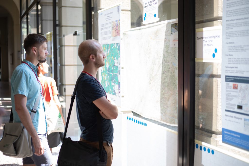
For inspiration, you can check out the SotM 2024 posters – https://2024.stateofthemap.org/posters/

Submission Requirements

  • The poster must be in A0 format (841 × 1189 mm).
  • The poster must be related to OpenStreetMap.
  • The poster must be open, innovative and transparent (no copying).
  • The poster must be an original work (individual, collective or institutional).
  • The poster must be submitted under an open license (CC-BY-SA 3.0 or higher recommended, or CC0).
  • Maximum of two entries per person, team, or institution.

How to participate

Please send an email to sotm [at] openstreetmap.org with a description of your poster. For example, the background of the project or whatever you consider important to mention in the context of the poster – all that you would tell people if you show them your poster. We will publish this text together with the poster on the SotM website.
Please also mention the filename of the uploaded poster in your email, so that we can know which of the uploaded posters is yours.

Timeline

Deadline: 15 September 2025

The SotM team hopes to shortlist up to 20 posters that will be published on our website and some other SotM channels under CC BY SA 3.0 (or later)

The State of the Map Working Group

The State of the Map conference is the annual, international conference of OpenStreetMap, organised by the OpenStreetMap Foundation. The OpenStreetMap Foundation is a not-for-profit organisation, formed to support the OpenStreetMap Project. It is dedicated to encouraging the growth, development and distribution of free geospatial data for anyone to use and share. The OpenStreetMap Foundation owns and maintains the infrastructure of the OpenStreetMap project, is financially supported by membership fees and donations, and organises the annual, international State of the Map conference. Our volunteer Working Groups and small core staff work to support the OpenStreetMap project. Join the OpenStreetMap Foundation for just £15 a year or for free if you are an active OpenStreetMap contributor.

OpenStreetMap was founded in 2004 and is an international project to create a free map of the world. To do so, we, thousands of volunteers, collect data about roads, railways, rivers, forests, buildings and a lot more worldwide. Our map data can be downloaded for free by everyone and used for any purpose – including commercial usage. It is possible to produce your own maps which highlight certain features, to calculate routes etc. OpenStreetMap is increasingly used when one needs maps which can be very quickly, or easily, updated.

Apply to be the OpenStreetMap Core Software Engineer

We are not accepting applications for this role at this point. Thank you to all who have applied.

OpenStreetMap powers maps and services used by millions of people around the world every day. To better support the community that makes this possible, the OpenStreetMap Foundation is seeking a dedicated mid- to senior-level software engineer with a passion for open data, collaborative software, and digital commons.

The ideal candidate is proficient in modern Web development (frontend and backend), experienced with open source collaboration, and comfortable working in public repositories with community feedback.

Your main responsibilities will focus on the openstreetmap.org website and its underlying API-a critical part of the infrastructure powering a global mapping movement. Your work will directly support an ecosystem of tools used by tens of thousands of contributors monthly, producing map data relied upon by millions worldwide.

You will collaborate closely with the OSMF’s Core Software Development Facilitator (CSDF). This position is made possible through funding from the Sovereign Tech Fund.
We strongly encourage applications from individuals of all backgrounds, especially those underrepresented in open source and geospatial communities.

Scope of work

The engineer will primarily contribute to the openstreetmap-website, with responsibilities divided into the following two categories:

Core Responsibilities

  • Analyze and understand the existing architecture and codebase of openstreetmap-website
  • Collaborate with the CSDF and project maintainers to define and prioritize development goals
  • Design and implement features that enhance the platform and empower community contributions
  • Triage and resolve issues reported by users and review incoming pull requests
  • Over time, the engineer may assume responsibility for deeper infrastructural areas and contribute to the long-term maintainability of the platform.

Collaboration & Communication

  • Maintain open and frequent communication with the CSDF and project maintainers through GitHub, mailing lists, and real-time chat
  • Participate in public discussions, support issue triage, and assist in release planning
  • Help document development workflows, decisions, and architecture changes

Profile

Required Qualifications

  • Proficiency with Ruby on Rails
  • At least 3 years of professional Web development or related software engineering experience
  • Experience working with large-scale, production-ready codebases (OpenStreetMap serves as much as 13 TB of data, growing all the time)
  • Experience collaborating in open source projects, working in public repositories, and engaging with contributors
  • Willingness to learn and use technologies in the stack as needed (e.g., JavaScript, SQL)

Preferred Qualifications

  • Previous contributions to OpenStreetMap (as a mapper or developer)
  • Enthusiasm for engaging with users of open source tools and platforms
  • Strong technical communication skills, especially in asynchronous, text-based environments (GitHub, chat)
  • Have previous experience with geospatial software and/or data

Contracting structure

Location: Remote (global)

This freelance/contractor position is available immediately, at approximately 80% time. It is funded through the end of 2026 by the Sovereign Tech Fund. Continuation will be evaluated based on impact and future funding availability.

The person will work from their premises and set their own schedule. However, your working hours will need to overlap at least minimally with those of the CSDF, who is based in the UTC–7/8 time zone. As the OSMF is a global organisation, working with people in different time zones and handling related scheduling constraints is expected. Communication will be in English.

To apply for this position, please send your CV with a cover letter to the OSMF Personnel Committee at pc@osmfoundation.org.

We look forward to hearing from you!