OpenStreetMap foundation board member Sarah Hoffmann recently joined the 3rd annual UNMaps conference in Valencia, Spain to present about the OpenStreetMap project and participate in a panel discussion about crowd-sourced geodata.
The UNMaps conference brings together the GIS experts from the different entities of the UN, which was about a hundred participants in 2024. There were representatives from the UN secretariat, the different UN entities, like UNICEF and the International Criminal Court (ICC), and people from the UN peacekeeping missions. They also regularly invite external partners and contributors to present their work and join the discussions. Given the vital role that OSM already plays in their work, they asked the OSMF board to join the conference and represent the OpenStreetMap community. Also invited from the wider OSM community were the researchers from HeiGIT and the humanitarian mappers from HOT.
“It wasn’t necessary to explain to anyone who we are,” noted Sarah, “OpenStreetMap is well known and used on a daily basis within the UN. The maps produced by the UNMaps division for use within the UN heavily use OSM data, mainly replacing boundaries and names to follow the official policies of the UN.”
Benjamin Herfort (HeiGIT), Sarah Hoffmann (OSMF), Sam Colchester (HOT).
In many areas where the different UN entities operate, OSM is the best (and sometimes only) available source for geographic data. Thus, base maps using OpenStreetMap data were featured in almost every presentation. And it doesn’t stop there. UN users also contribute back to improve and complete the map in the areas where they use it, and the UN Mappers community supports the UN with organised mapping activities.
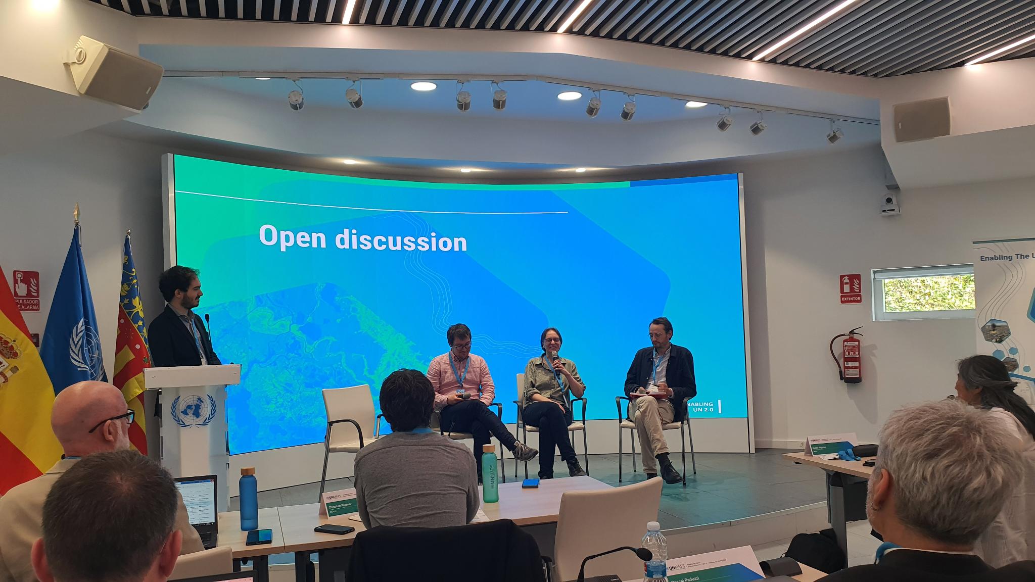
Sarah answered questions about OSM and OSM operations, including a lively discussion about iD editor as a response to the question: how do we deal with errors in the map data? In addition, Sarah joined a panel discussion on crowd-sourced data focussing on the questions of data quality and the importance of local knowledge in map data.
The discussions continued in the hallways, as well. Sarah noted that there were informal conversations about what kind of data is suitable for OSM and how to best connect with the community, as well as about what it’s like to be part of a world-wide community in peaceful cooperation to achieve a common goal.
“The conference was a great opportunity for getting to know each other,” said Sarah, “seeing OpenStreetMap data used so much in the daily operations of the UN is a great reminder how much our project has grown and how essential our data has become for so many different activities.”
The OpenStreetMap Foundation is a not-for-profit organisation, formed to support the OpenStreetMap Project. It is dedicated to encouraging the growth, development and distribution of free geospatial data for anyone to use and share. The OpenStreetMap Foundation owns and maintains the infrastructure of the OpenStreetMap project, is financially supported by membership fees and donations, and organises the annual, international State of the Map conference. Our volunteer Working Groups and small core staff work to support the OpenStreetMap project. Join the OpenStreetMap Foundation for just £15 a year or for free if you are an active OpenStreetMap contributor
This post is also available in: French Japanese Spanish Greek