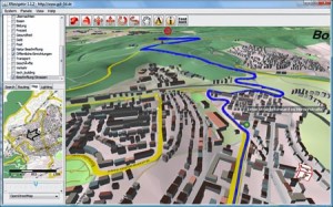
Users now can plan a route online at OSM-3D.org and then interactively fly along the route presented in 3D. Currently the routing is available for cars (fastest/shortest) as well as for pedestrians or bicycles for all of Germany. It is also possible to create an animation that follows the 3D route automatically. The application is powered by an extended version of OpenRouteService.org and uses the free data from OpenStreetMap.org and the Open Location Services (OpenLS) specifications of the Open Geospatial Consortium (OGC).
Read more here

