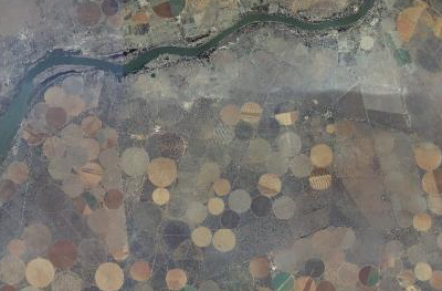
A small sample of the South Africa aerial imagery provided by CD:NGI, the mapping agency of the government of South Africa.
This post is also available in: angielski holenderski francuski Galicyjski niemiecki włoski japoński portugalski, Portugalia portugalski, Brazylia rosyjski hiszpański chorwacki ukraiński grecki hindi węgierski perski litewski albański chiński uproszczony chiński tradycyjny koreański suahili czeski arabski