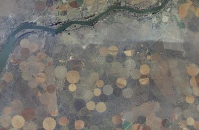
A small sample of the South Africa aerial imagery provided by CD:NGI, the mapping agency of the government of South Africa.
A small sample of the South Africa aerial imagery provided by CD:NGI, the mapping agency of the government of South Africa.