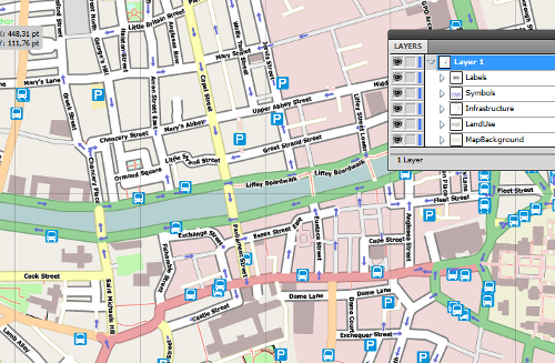
A screenshot of Illustrator showing a SVG file produced by Maperitive.
This new functionality is available in the newest release of
Maperitive.

This is a Featured image, which means that it has been identified as
one of the best examples of OpenStreetMap mapping, or that it provides
a useful illustration of the OpenStreetMap project.
If you know another image of similar quality, you can nominate it at
nice image map, we are very luck that we born in this century where we can easily locate any places just through the one location in our home pc.