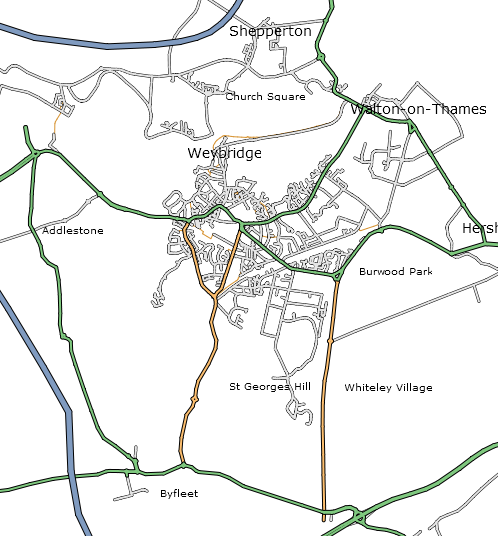
OpenStreetMap contributor Etienne Cherdlu (aka 80n) has been working on converting the OpenStreetMap API output into SVG using XSL tranforms. So far so good!
The projection on this example is only really suitable for Etienne’s area of interest, but this gives a good example of where we’ll be headed for the Isle of Wight workshop, and shows what is possible right now using OpenStreetMap tools and a little bit of hard work. Thanks Etienne!
Pingback: OpenGeoData » Blog Archive » SVG Output Update