We are happy to announce the deployment of Vector Tiles on OpenStreetMap Foundation servers and the publication of the layer on the OSM website! We have been working hard to bring you a fresh look to OSM data, paired with exciting technological upgrades.
Work has been progressing since last year. In June 2024 we shared progress, including the launch of the vector tiles demo site, as well as details on the technical background on the tools being used. Since then we have put the tile generation process through months of testing, focused on reliability and speed improvements, and gotten ready for full production use.
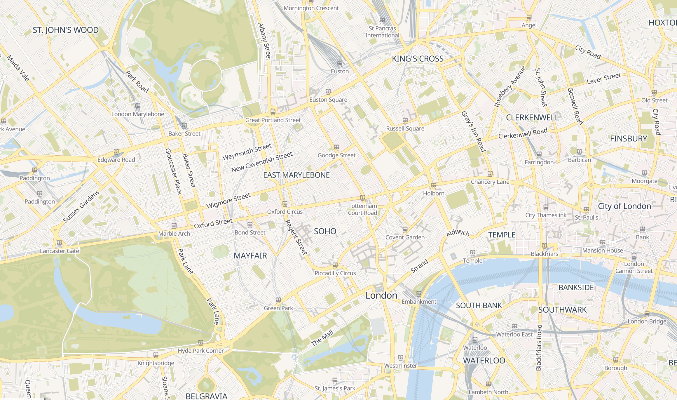
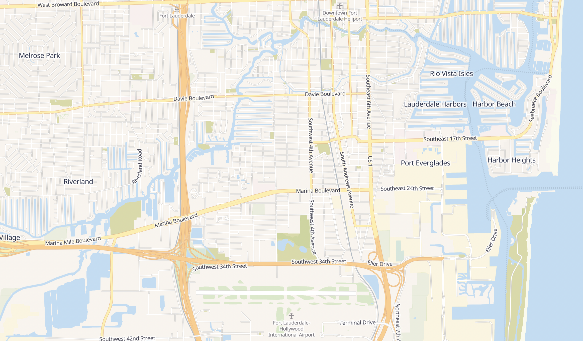
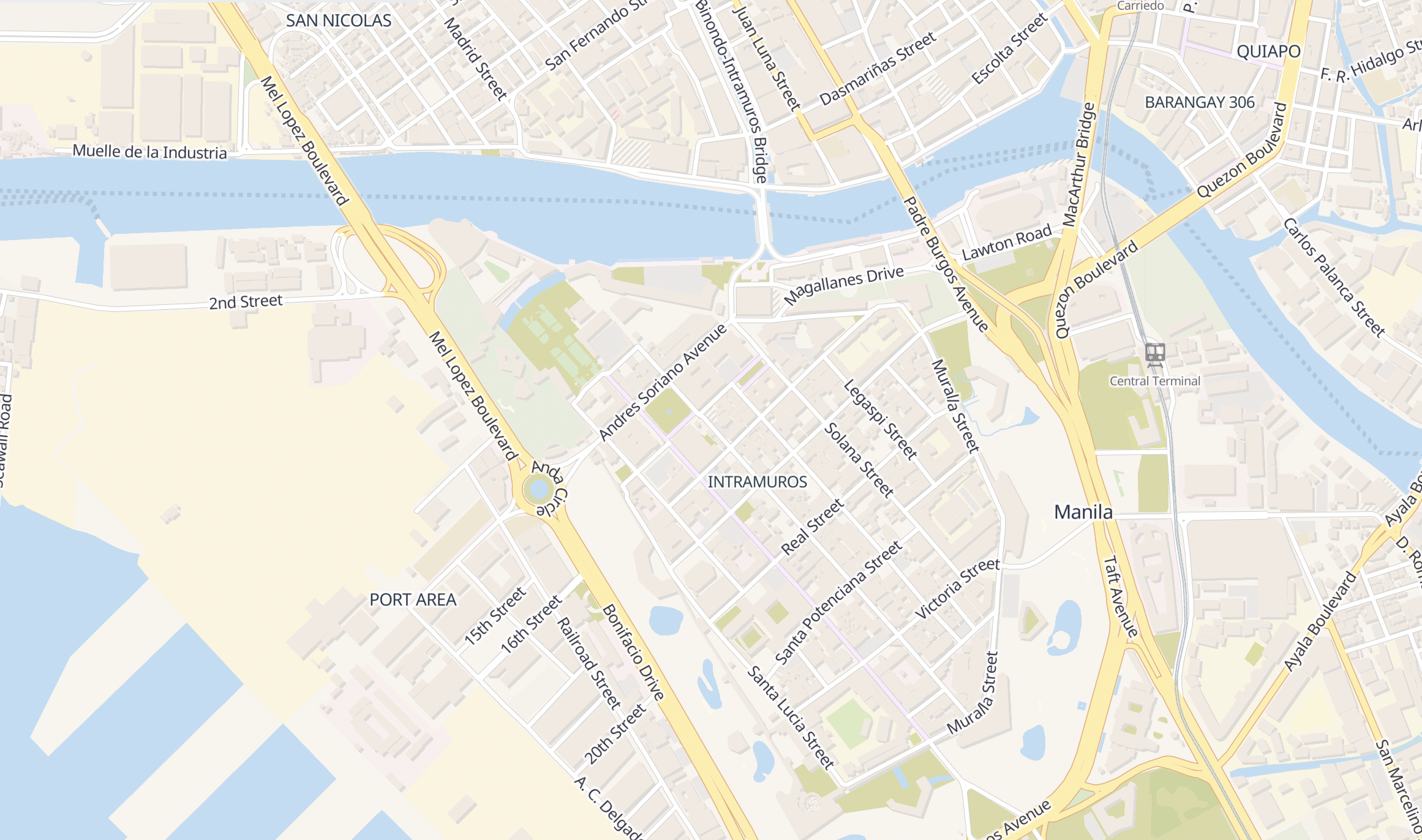
Now, with integration of the vector tiles as a feature layer on the OpenStreetMap website, mappers and visitors get a visual layer that is sharper and quicker, based on an entirely new backend.
A major benefit of vector tiles is adaptability, so developers can leverage this vector source to develop their own styles based on the existing Shortbread styles or write a new one and use the new OSMF-hosted tiles. To use OSMF vector tiles in a project, in a development or production environment, consult the Vector Tile Usage Policy. Note that the policy may be subject to change to address any issues that come up after this launch.
From this point, you can expect further evolution of the Shortbread spec and styles. Input on the direction, ideas, and issues with OSMF vector tiles are welcome. Share in the appropriate repository: spirit for styles, tilekiln for tile generation, and shortbread-tiles for the tile content specification.
This post is also available in: French
Hebrew/Arabic broken completely and isn’t visible on the new map. Zoom to middle east and you’ll find no labels at all
To me it looks like there no labels anywhere, not just arabic, only major town names and some road names, but comparing to the raster layer, looks very empty
Is there some way or place to collect what’s broken? 🙂
Let the vector tile styling bun fight commence!
Sorry, forgot to say: bravo on getting it released! This must have been a lot of hard work and clearly with a complicated data structure like OSM there are going to be debates on what should and should not be displayed and how.
Well, it looks good in cities, but in rular or forested areas it doesn’t look as good. The contrast between the scrub and forest colors is big, too big I would say. The color for the forest is too washed compared to the scrub color, from what I can tell hasn’t changed. And when zooming in any part there is a bit more “lag” compared to any other style, but I am sure that will change.
Looks great
What about the county and municipal boundaries, i.e., “boundary=administrative” + “admin_level=6” or “admin_level=8”, along with neighbourhood boundaries at closer zoom levels?
I’d say, the map looking empty perhaps a big selling point for its use as a blue print basemap, where third parties can put their PoIs on and have them not drowned in too much detail/clutter while still providing the essentials for wayfinding.
This in regard to urban settings. Rural is so bleak, this map-style is as useful there as g** maps are. Perhaps this style rather *not* show any old highway=path like being two meters wide and paved, people might believe the signature.
What? The link opens up a map of the united states and there’s nothing but “UNITED STATES.”
Congratulations! Such amazing news! Well done to all involved 🙂
Congratulations! But I could barely see anything in Java Island with 50 km zoom compared to previous raster tile.