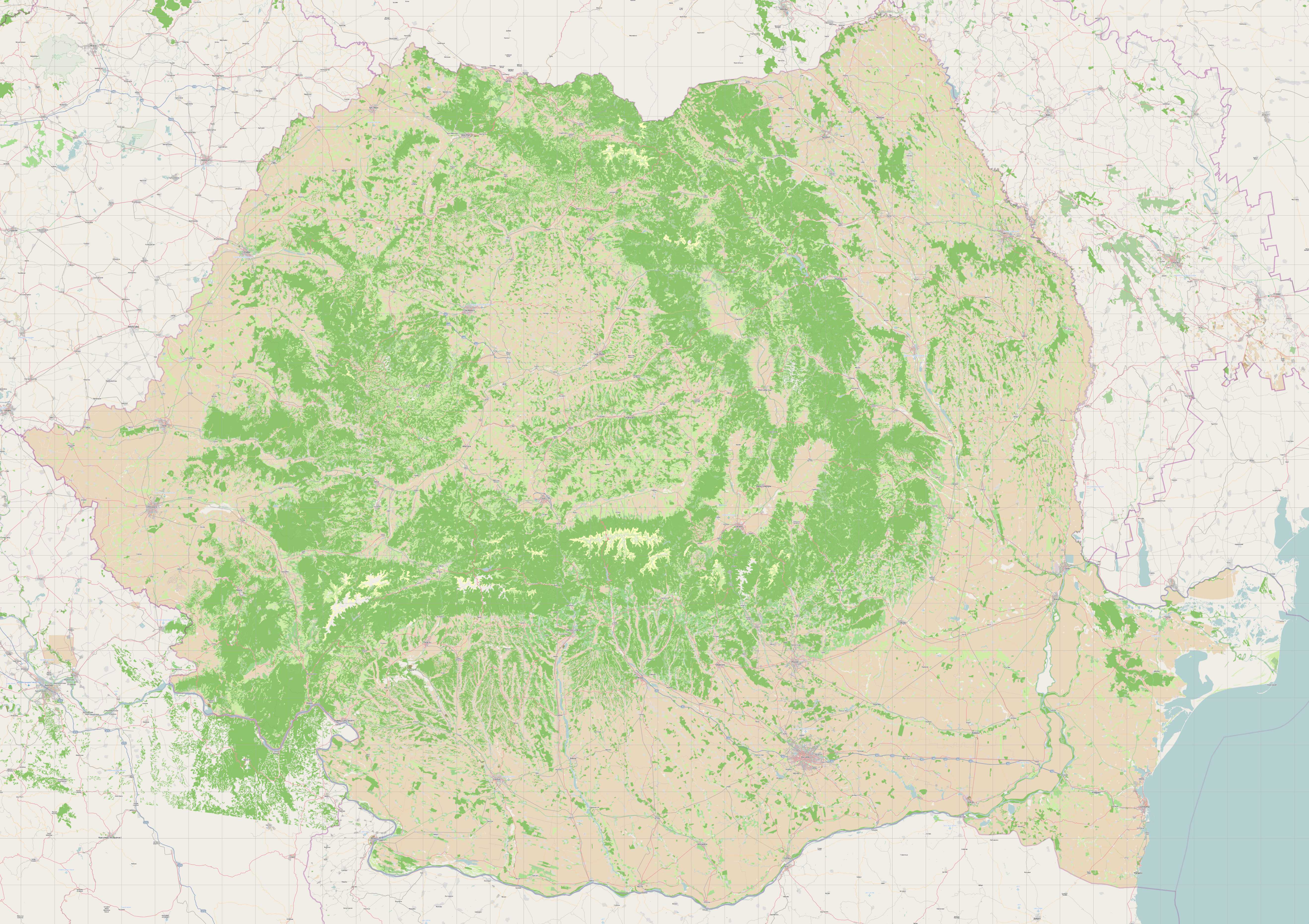
Romanian landuse – data from EEA comprises 100K polygons, imported to
OSM December 2010
This is a Featured image, which means that it has been identified as
one of the best examples of OpenStreetMap mapping, or that it provides
a useful illustration related to the OpenStreetMap project.
If you know another image of similar quality, you can nominate it at

