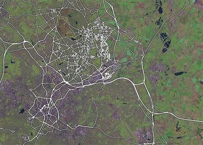
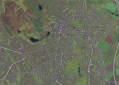
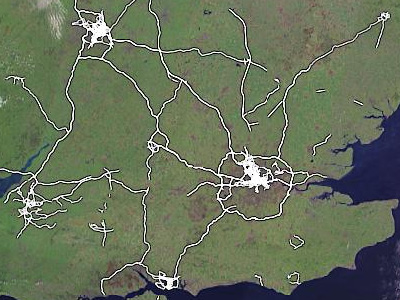
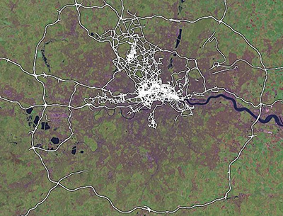
Over the last few months, whilst our developer eyes were on raw data for London, REST APIs, AJAX, new applets and stuff, a few enterprising souls have actually been mapping their home towns in the West Midlands and stress-testing the OpenStreetMap software with impressive and surprising dedication.


Apart from that, they (and others) have also been filling in Britain’s motorways (both carriages!) including the M25 and all its major junctions.


This post serves as a quick thanks to these folks (especially Alex, Andy and Simon – if I missed you, let me know) who’ve taken the time and effort to do all this work, and a promise from me and the other developers that extra tools (such as street names – a high priority) are on their way soon, along with a few more sensible ways to get your data back out again (we’re looking at various vector formats) and a few things to make your editing lives easier.
Keep it up folks, and do let us know if there are other areas being mapped with such care and attention. I know that Lars keeps a gazetteer on his wiki page, and I’m also aware of Portsmouth and Bristol being filled out nicely, so I’ll try and find some more inspriational areas soon.
This post is also available in: Spanish
