Last March saw the launch of the Pin je punt project (“Pin your point”). The aim of this tourism-focused mapping campaign is to augment OpenStreetMap with points of interest for hikers and cyclists, specifically in the Belgian region of Flanders. Pin je punt is a collaboration between Toerisme Vlaanderen/Visit Flanders (the region’s official tourism administration), the provincial tourism organisations and OpenStreetMap Belgium.
A partnership like this has a lot of potential to increase awareness about OpenStreetMap, and convince organisations and individuals to hop on the OSM train. So of course we wanted to know more. How did this collaboration come about? What has been achieved? And what can OSM as a community learn from a project like this?
To get an answer to these questions, we sat down with Pieter Vander Vennet (OSM Belgium) and Jos Pyck (project manager for Pin je Punt at Visit Flanders). This post is a reflection of those conversations.


What is the goal?
The Flemish tourism agencies want to enrich OpenStreetMap with as many points of interests as possible in the following categories:
- Charging stations for e-bikes
- (Public) toilets
- Benches and picnic tables
- Observation towers
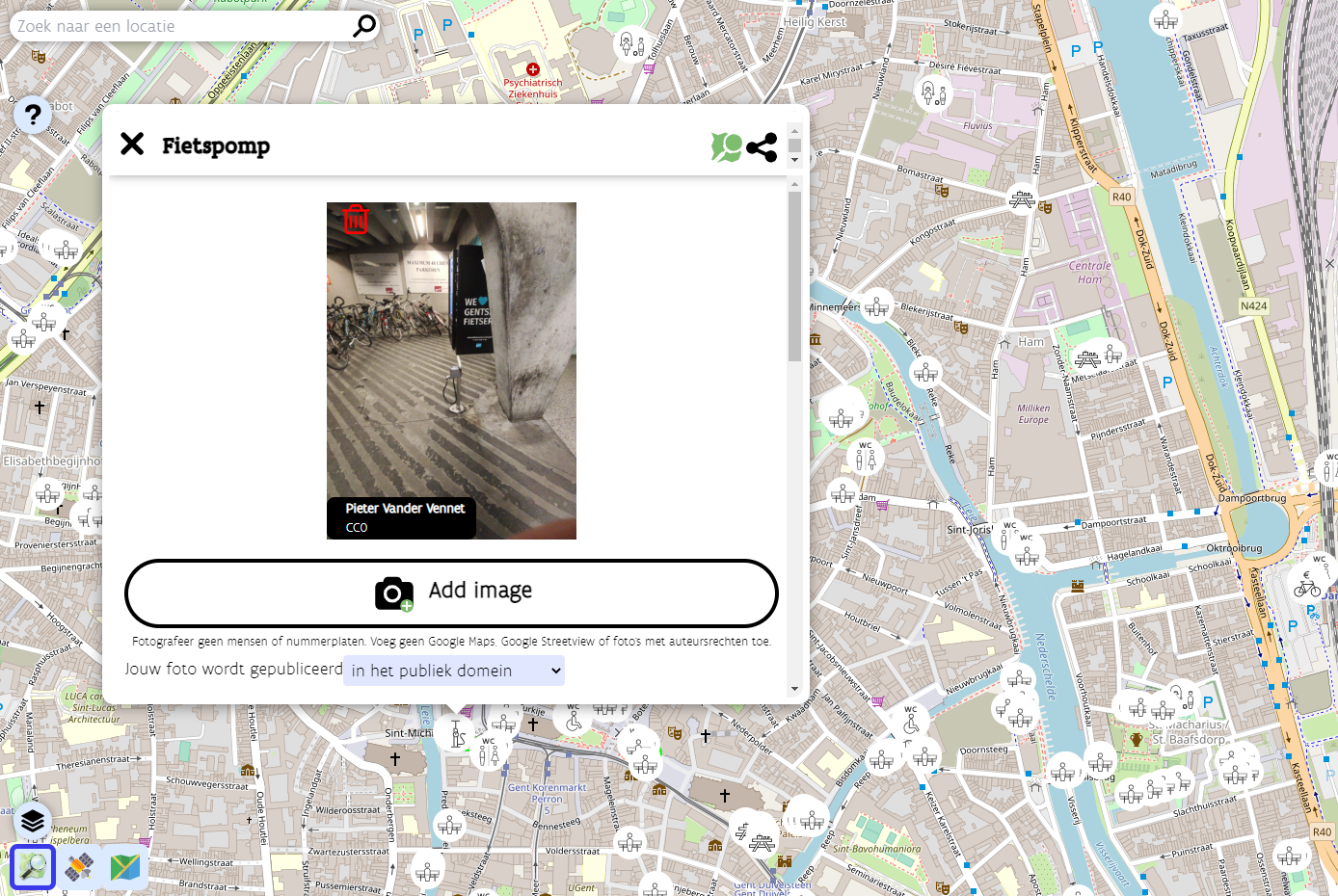
- Bicycle repair stations
- Bicycle rentals
- Playgrounds
The data should be complete enough so it can be used to improve route planning applications for hikers and cyclists, possibly even printed maps.
How did it start?
Back in the winter of 2020-2021, Visit Flanders was contacted by route planning developers looking for datasets to improve their services for cyclists and hikers. Triggered in large by the COVID pandemic, this target audience had grown into a large community with varying needs: hikers in search of public toilets now that restaurants and bars were closed, young families looking for playgrounds, e-bikers in need of charging stations, …
Unfortunately, no Flemish dataset was available to meet these requirements. The Flemish tourism organisations did have open datasets, but they were incomplete and spread across the five provinces. The solution? Using OpenStreetMap to unify, improve and maintain these different datasets.
Through the local cyclist organisation Fietsambassade Gent, Visit Flanders came into contact with Pieter Vander Vennet, who had developed the MapComplete editor and had already worked with a couple of government agencies. They formed a core working group with other OSM Belgium users Joost Schouppe and Seppe Santens (also ICT manager at the West-Flemish tourism organisation Westtoer, the only provincial agency with previous OSM experience). And just like that, Pin je punt was born.
How is the data added to OSM?
The existing datasets of the provincial tourism organisations were loaded and the objects converted into notes, which can be validated by users one by one. Of course new data points can be added as well. Validation and editing occurs in a custom theme in Pieter’s MapComplete tool, enabling users to edit specific POI categories in OSM in a user-friendly way. This makes it the perfect fit for the Pin je punt campaign, which is also aimed at users without OSM experience. Visit Flanders invited all Flemish province and municipality employees to start editing, and even launched a media campaign to reach the general public. (The promo video featuring a former Flemish radio presenter (in Dutch only) is, as far as Pieter knows, the first professional commercial encouraging contributions to OpenStreetMap!)
Of course, as new users are attracted, it is important to keep an eye on the quality of their work. For that reason, volunteers of the Belgian OSM community monitor the edits made in Pin je punt.
What are the results and takeaways?
The Pin je punt campaign officially concluded at the end of April 2022. During the 1,5-month-long project run, the imports of the provincial datasets and the edits made by many tourism organisation employees and other users resulted in about 1,500 new points being created in OpenStreetMap. Since the Pin je punt MapComplete theme remains available, these users can continue to improve the data in their municipalities.
But the potential effects of Pin je punt extend far beyond an increased number of POIs for hikers and cyclists. The campaign also has the capability to increase awareness about OpenStreetMap and its possibilities outside of the OSM community, and to encourage more organisations to start using OSM.
Pin je punt has convinced one person in particular of OpenStreetMap’s strengths: project manager Jos Pyck of Visit Flanders. He used to be sceptical about using OSM, as he–despite his GIS background–deemed it far too technically complex. But this campaign has turned him into a true OSM believer. He’s impressed by the sheer size of the database and the fact that anything can be captured in it. And his pleasant experience with the helpful community even resulted in Visit Flanders becoming a corporate member of OSM Belgium.
Jos is very interested in expanding the Pin je punt theme with more tourism-related layers in the future, for instance bars, restaurants, drinking fountains, … He has even made it his mission to encourage other government agencies and municipalities to invest (more) in OSM, instead of setting up and maintaining their own limited, siloed databases. The five provincial tourism organisations involved in Pin je punt are already on board. Four of them had no previous experience with OpenStreetMap, and this project convinced them that the OSM community can produce a dataset superior to theirs. The experience really lowered the barrier for them to use OSM again in the future. Hopefully the results of Pin je punt can win over other public organisations as well.
Collaborations like these can also be a learning experience for the OpenStreetMap community. As a former outsider, Jos Pyck had some interesting insights to share. Though he is now an avid fan of OSM, he still believes it is difficult for newcomers to start using the map, as they are intimidated by how technical it looks. This outsider perspective had a positive impact on the look and feel of the MapComplete theme created for Pin je punt. While Jos’s team members were trying out the first versions of the theme, they formulated some comments about the user-friendliness of the tool. Pieter Vander Vennet took their feedback to make the tool as simple, easy to use and promotable as possible. Note that it can be reused outside of Flanders–the project team already saw some edits popping up in the rest of Belgium, the Netherlands, France, the UK, …
One particular observation Jos made while venturing into the world of OpenStreetMap, is the small number of women in the community. He points out that his colleagues who tested the MapComplete theme were all female and therefore had a different perspective on usability, which helped tweak the tool substantially. According to Jos, OSM would very much profit from getting more women on board.
Want to find out more?
This blog post points to many interesting links providing more information about the Pin je punt project and the people involved. If you have any additional questions, feel free to reach out to Jos Pyck, Pieter Vander Vennet and Joost Schouppe at pinjepunt@toerismevlaanderen.be.
Want to contribute?
Though the Pin je punt project officially concluded at the end of April, all contributions to help cyclists and hikers in Flanders are still very much welcome. So don’t hesitate to head to the Pin je punt MapComplete theme (in Dutch only) and start mapping!
Do you want to translate this and other blog posts in another language? Please send an email to communication@osmfoundation.org with the subject: Helping with translations in [language]
Get notified about new blog posts: Subscribe to the RSS feed
This post is also available in: Spanish